Aspatria
Civil Parish in Cumberland Allerdale
England
Aspatria

Aspatria is a civil parish located in the county of Cumberland, in the northwestern region of England. Situated approximately 8 miles (13 kilometers) northeast of the town of Maryport, Aspatria has a population of around 2,500 residents. The parish is part of the Allerdale district, which encompasses several rural communities in the area.
Historically, Aspatria was a small farming village, with agriculture playing a significant role in its economy. The fertile soils of the surrounding countryside have allowed for the cultivation of crops such as wheat, barley, and oats, as well as livestock farming. The landscape is characterized by rolling hills, fields, and picturesque countryside views.
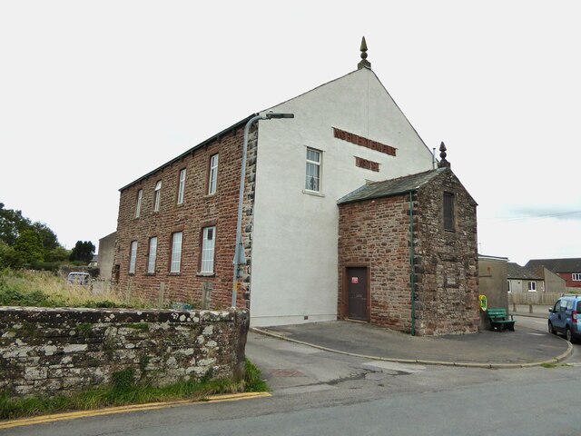
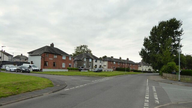
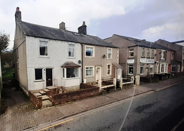
The village itself features a range of amenities and services for its residents, including a primary school, a medical practice, a post office, and several local shops and businesses. The community is also served by regular bus routes, connecting it to neighboring towns and cities.
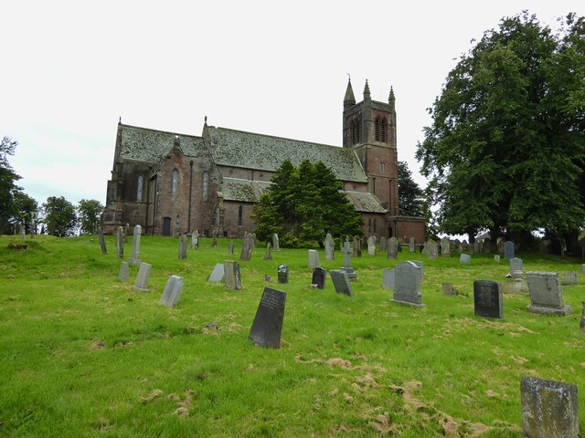
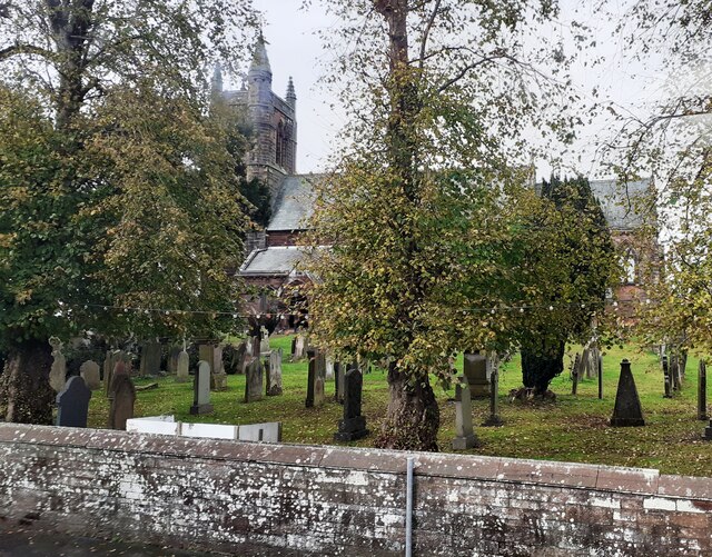
Aspatria has a rich history, with several notable landmarks and heritage sites. The St. Kentigern's Church, a grade II listed building, dates back to the 12th century and is a prominent feature in the village. The church showcases stunning architectural design and holds historical significance.
Overall, Aspatria offers a peaceful and rural lifestyle, with a close-knit community and access to essential services. The parish's natural beauty and historical charm make it an attractive destination for visitors seeking a glimpse into the traditional English countryside.
If you have any feedback on the listing, please let us know in the comments section below.
Aspatria Images
Images are sourced within 2km of 54.767429/-3.325649 or Grid Reference NY1442. Thanks to Geograph Open Source API. All images are credited.


Aspatria is located at Grid Ref: NY1442 (Lat: 54.767429, Lng: -3.325649)
Administrative County: Cumbria
District: Allerdale
Police Authority: Cumbria
What 3 Words
///tablets.affirming.cooks. Near Aspatria, Cumbria
Nearby Locations
Related Wikis
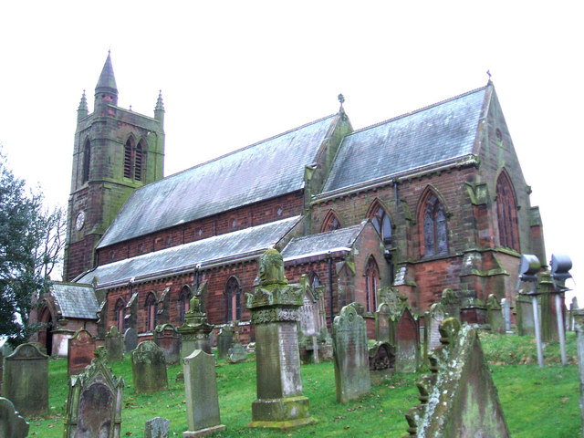
St. Kentigern's Church, Aspatria
St Kentigern's Church stands in the village of Aspatria, Cumbria, England. It is an active Anglican parish church in the rural deanery of Maryport, the...
Aspatria
Aspatria is a town and civil parish in Cumberland, Cumbria, England. The town rests on the north side of the Ellen Valley, overlooking a panoramic view...

Beacon Hill Community School
Beacon Hill Community School is a coeducational secondary school located in Aspatria is the English county of Cumbria.It is a community school administered...
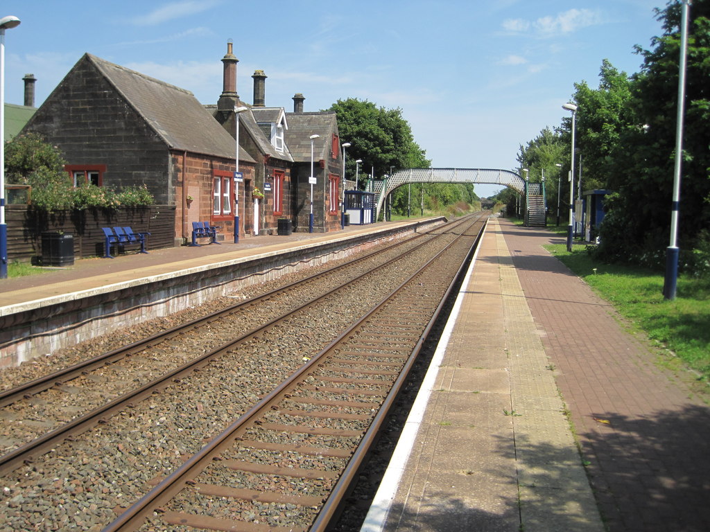
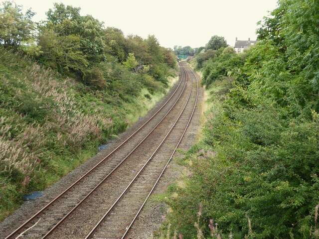
Aspatria railway station
Aspatria railway station is a railway station serving the town of Aspatria in Cumbria, England. It is on the Cumbrian Coast Line, which runs between Carlisle...

A596 road
The A596 is a primary route in Cumbria, in northern England, that runs between Thursby (5 miles (8.0 km) north-east of Wigton) and Workington. For its...

Harriston, Cumbria
Harriston is a small hamlet in Cumbria, England, consisting of approximately 100 houses. == Construction == When, in 1868, the trustees of the infant Joseph...

Brayton Park
Brayton Park is a hamlet in Cumbria, England. It contains a small lake, notable for its fishing. == References ==

Yearngill
Yearngill is a hamlet in the English county of Cumbria. Yearngill is located less than a mile southeast of the village of Westnewton. It is also located...
Nearby Amenities
Located within 500m of 54.767429,-3.325649Have you been to Aspatria?
Leave your review of Aspatria below (or comments, questions and feedback).