Danesborough
Heritage Site in Buckinghamshire
England
Danesborough
Danesborough, located in the county of Buckinghamshire, England, is a small village known for its rich historical and cultural significance. As a designated heritage site, it is renowned for its well-preserved ancient architecture and picturesque landscapes.
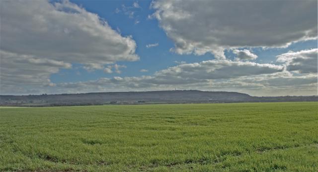
The village is situated on the outskirts of the Chiltern Hills, offering visitors breathtaking views of rolling countryside and tranquil surroundings. It is home to several historic buildings, including a medieval church, St. Peter and St. Paul's, which dates back to the 13th century. The church boasts intricate stained glass windows and a beautifully carved wooden altar, showcasing the craftsmanship of the era.
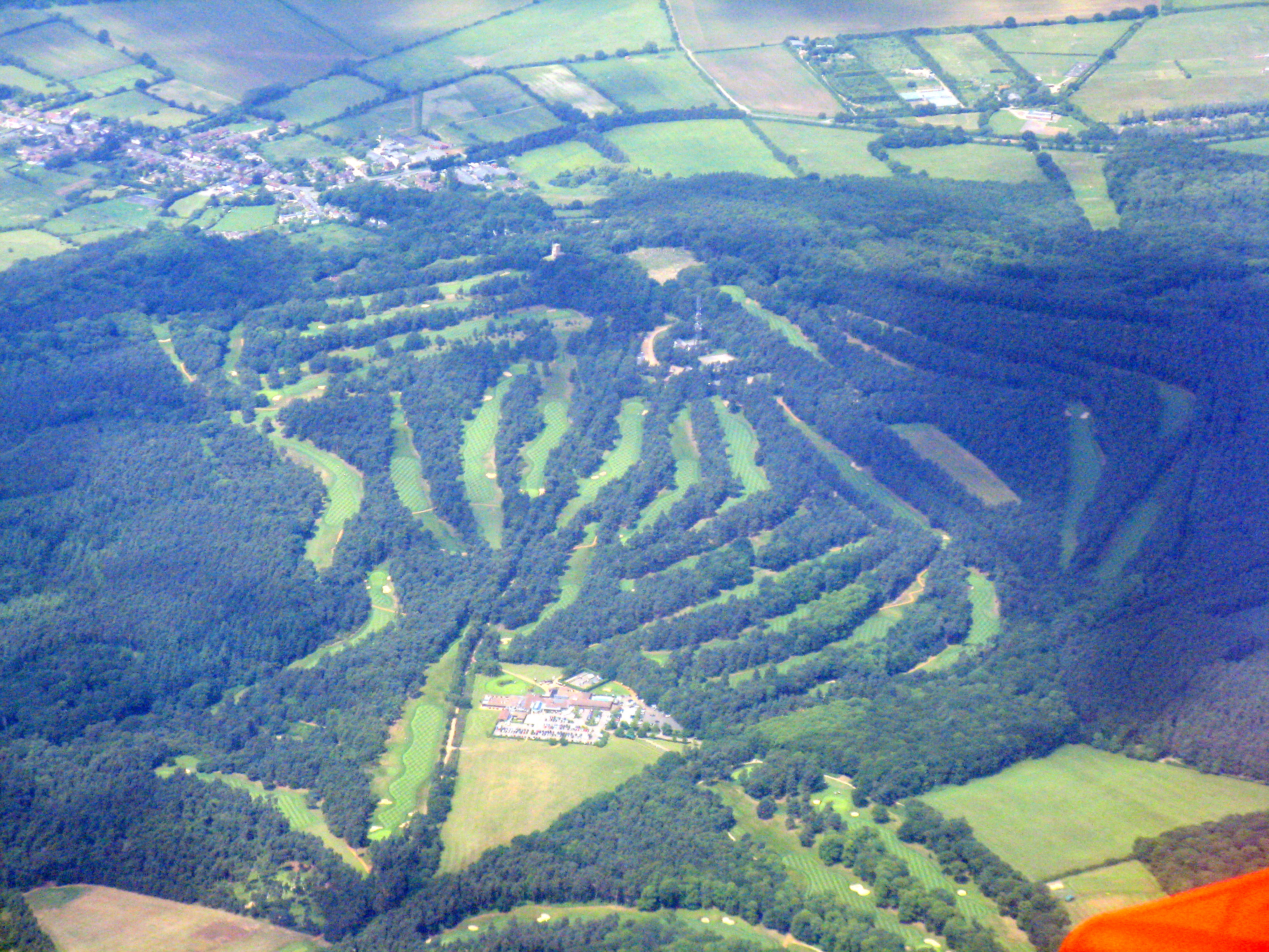
One of the highlights of Danesborough is the Danesborough Camp, an Iron Age hill fort believed to have been constructed around 500 BC. The earthworks and defensive ramparts of the fort are still visible today, providing a glimpse into the village's ancient past.
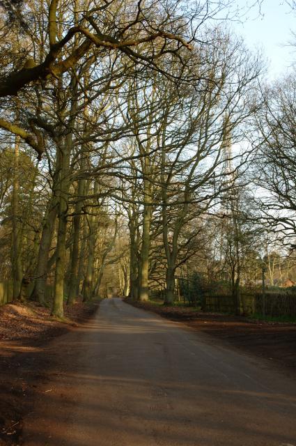
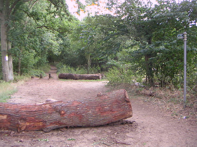
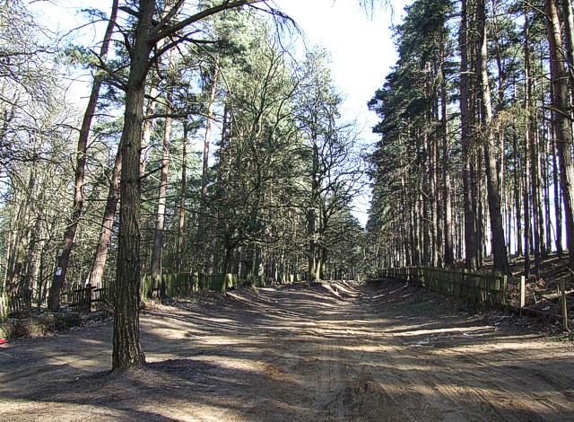
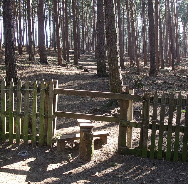
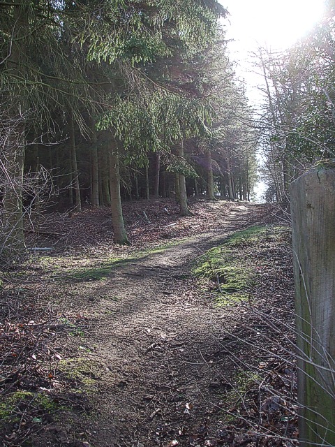
Nature lovers will be delighted by the presence of Danesborough Woods, a woodland area adjacent to the village. This ancient woodland is home to a diverse range of flora and fauna, including bluebells and oak trees, making it a popular spot for walking, picnicking, and birdwatching.
Danesborough also hosts various cultural events throughout the year, such as the annual village fete and historical reenactments. These events provide a unique opportunity for visitors to immerse themselves in the village's vibrant community and experience its rich heritage firsthand.
Overall, Danesborough, Buckinghamshire, is a captivating heritage site that offers a blend of history, natural beauty, and community spirit. Its well-preserved architecture, ancient hill fort, and picturesque woodlands make it a must-visit destination for history enthusiasts and nature lovers alike.
If you have any feedback on the listing, please let us know in the comments section below.
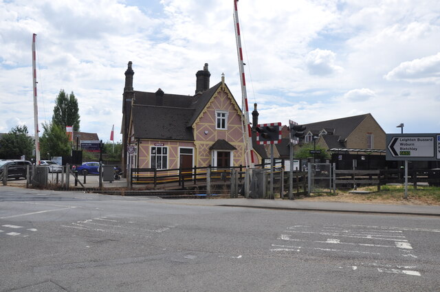
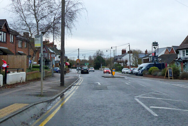
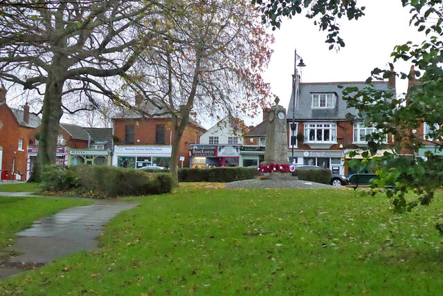
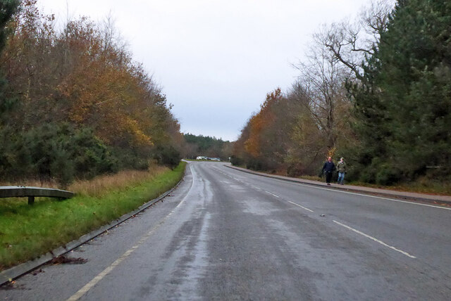
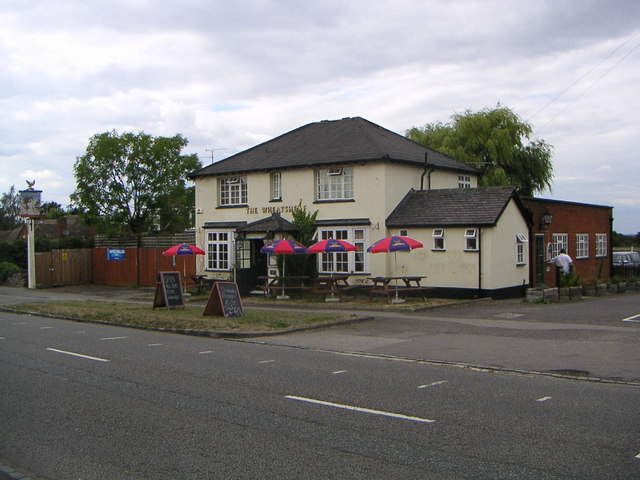
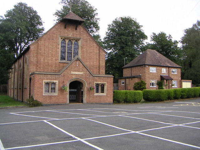
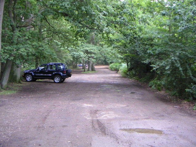
Danesborough Images
Images are sourced within 2km of 52.0042/-0.6598 or Grid Reference SP9234. Thanks to Geograph Open Source API. All images are credited.


Danesborough is located at Grid Ref: SP9234 (Lat: 52.0042, Lng: -0.6598)
Unitary Authority: Central Bedfordshire
Police Authority: Bedfordshire
What 3 Words
///splits.guardian.lifeboats. Near Bow Brickhill, Buckinghamshire
Nearby Locations
Related Wikis

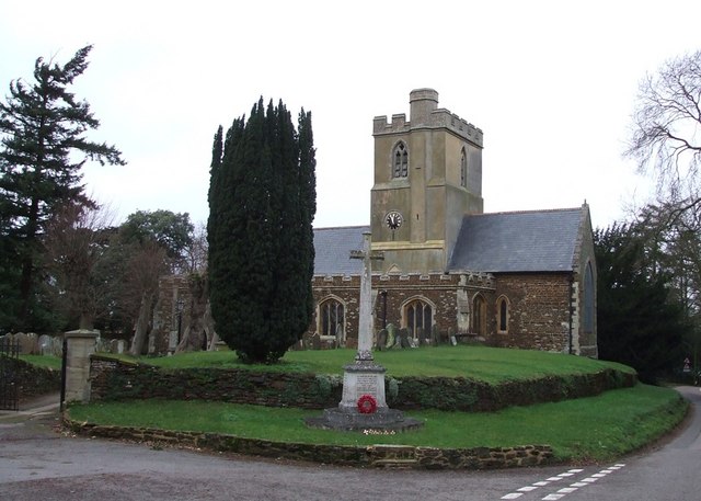
All Saints Church, Bow Brickhill
All Saints’ Church, Bow Brickhill is a Grade II* listed parish church in the Church of England in Bow Brickhill, Buckinghamshire, to the south-east of...

Aspley Heath
Aspley Heath is a village and civil parish in the Central Bedfordshire district of Bedfordshire, England, elevated and small in population and area, mostly...
St Mary the Virgin, Great Brickhill
St Mary the Virgin's Church, Great Brickhill is a Grade II* listed parish church in the Church of England in Great Brickhill, Buckinghamshire. == History... ==
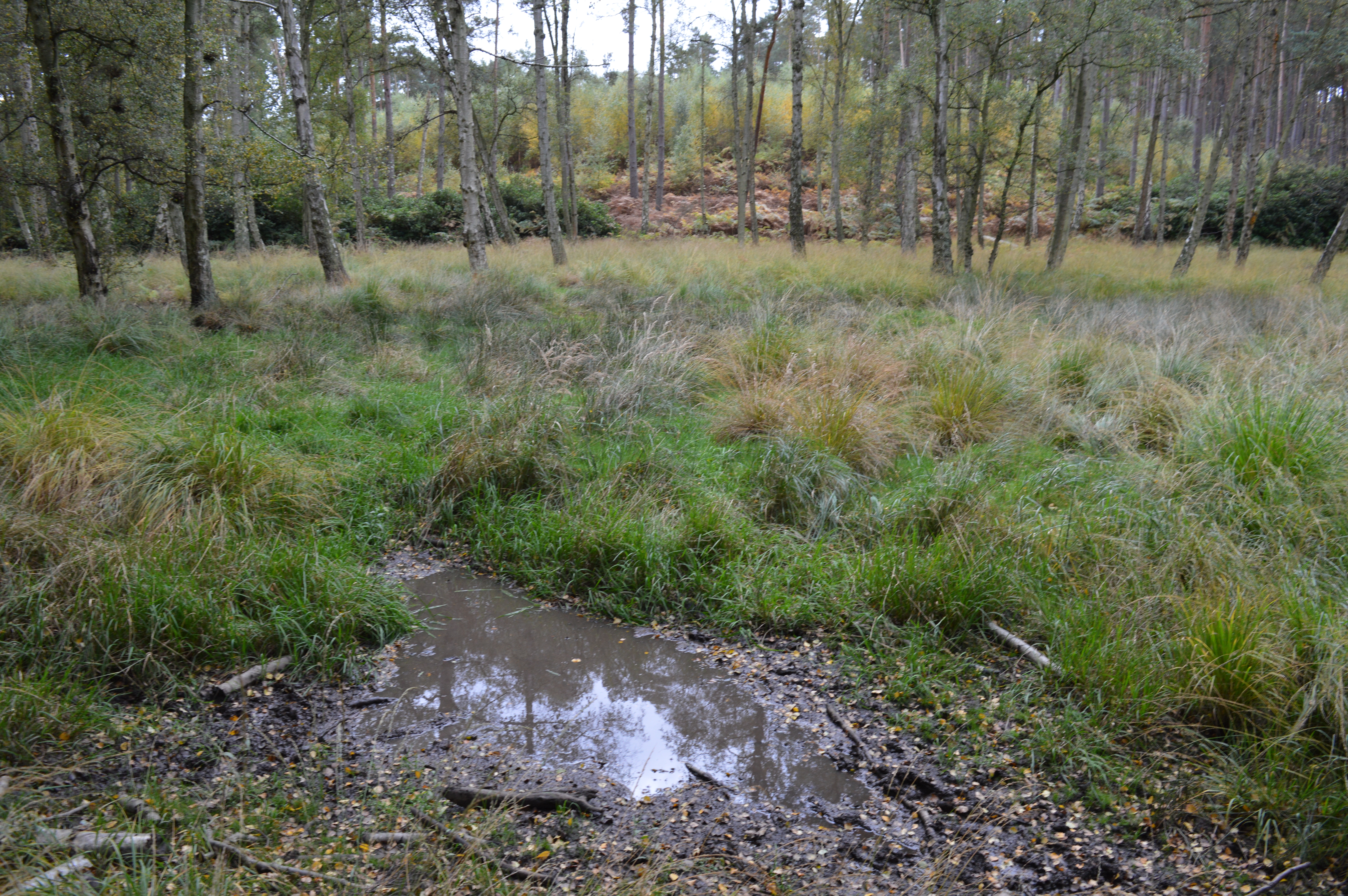
Wavendon Heath Ponds
Wavendon Heath Ponds is a 4.7-hectare (12-acre) biological Site of Special Scientific Interest in Aspley Heath in Bedfordshire. It was notified in 1986...
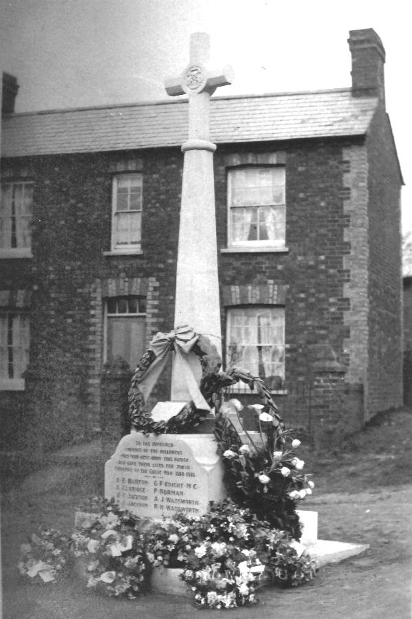
Bow Brickhill War Memorial
The Bow Brickhill War Memorial is located on the Village Green, at Church Road, Bow Brickhill, Buckinghamshire, England. It is a grade II listed building...
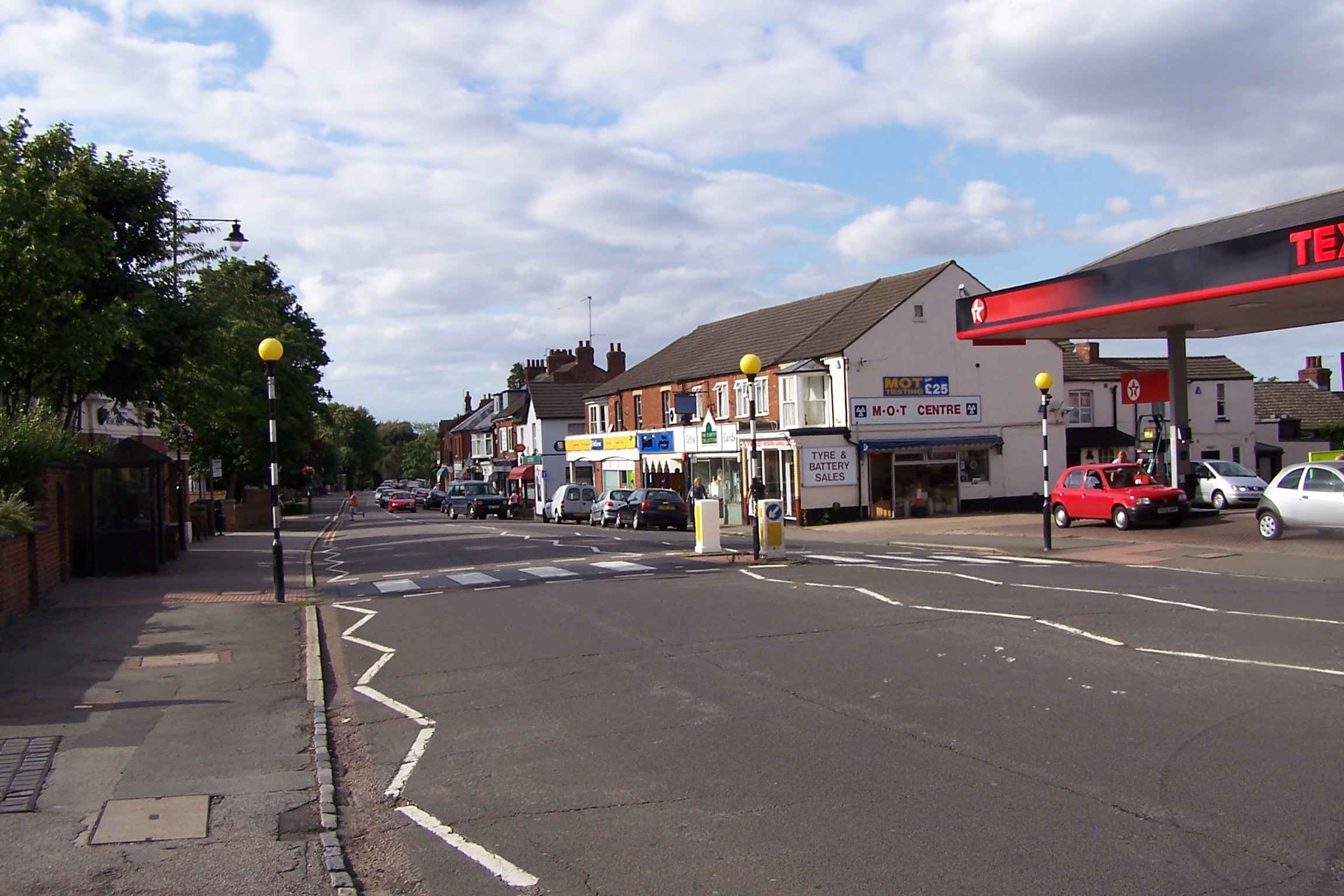
Woburn Sands
Woburn Sands () is a town that straddles the border between Buckinghamshire and Bedfordshire in England, and also is part of the Milton Keynes urban area...
2016 Women's British Open
The 2016 Ricoh Women's British Open was played 28–31 July in England at the Woburn Golf and Country Club near Milton Keynes, Buckinghamshire, northwest...
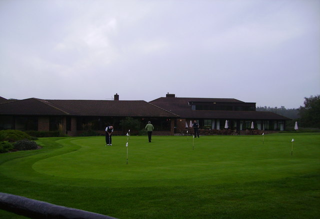
Woburn Golf and Country Club
Woburn Golf Club is a golf club in England located in Little Brickhill, near Milton Keynes within the county of Bedfordshire, about fifty miles (80 km...
Nearby Amenities
Located within 500m of 52.0042,-0.6598Have you been to Danesborough?
Leave your review of Danesborough below (or comments, questions and feedback).