Aspley Heath

Settlement in Bedfordshire

England

Aspley Heath

Woburn Sands Station from Cranfield Road Woburn Sands Station is adjacent to the Newport Road level crossing. The station building has been tastefully restored and is now a Costa Coffee cafe.  Traffic on this busy road is held up whenever trains need to pass, 4 times an hour or more. When East West Railway begin running an enhanced passenger service on this line, hold ups will be much more frequent. Replacement of the crossing with a bridge is the obvious answer, but it would have to be further away and thus would starve the town of passing traffic, which the residents are not happy with. No decision as to what the solution is has been made yet.
Woburn Sands Station from Cranfield Road Credit: Bob Walters

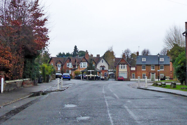
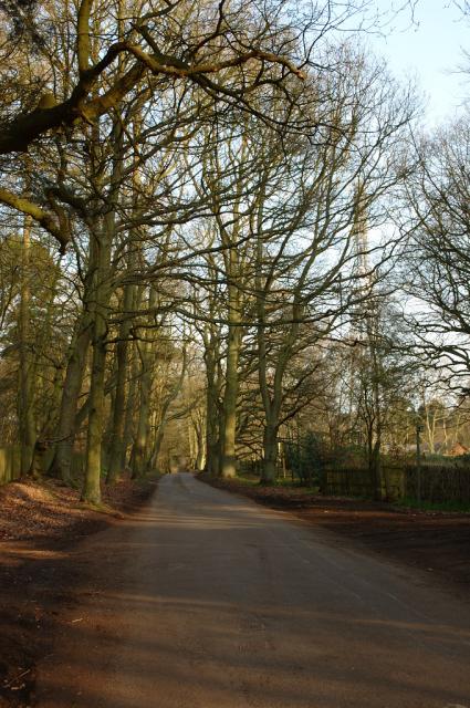
Aspley Heath is a small village located in the county of Bedfordshire, England. It lies approximately 4 miles south of the town of Woburn Sands and is part of the Central Bedfordshire district. The village is situated on the northern edge of the Greensand Ridge, offering picturesque views of the surrounding countryside.

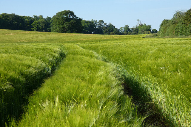
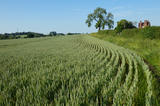
With a population of around 1,000 residents, Aspley Heath maintains a close-knit and friendly community. The village is characterized by its tranquil atmosphere, making it an ideal place for those seeking a peaceful retreat from the hustle and bustle of city life. The area is renowned for its natural beauty, with ample opportunities for outdoor activities such as walking, cycling, and horse riding.

Despite its small size, Aspley Heath boasts a number of amenities to cater to the needs of its residents. The village is home to a local pub, which serves as a popular gathering spot for both locals and visitors. Additionally, there are several shops, including a convenience store, providing essential goods and services to the community.

Aspley Heath benefits from its proximity to various attractions and amenities in the surrounding area. The nearby Woburn Abbey and Safari Park, famous for its wildlife conservation efforts, offer an exciting day out for residents and tourists alike. The village also benefits from excellent transport links, with the M1 motorway and Bletchley railway station just a short drive away.

In summary, Aspley Heath is a charming village in Bedfordshire, offering a peaceful and idyllic countryside setting. Its strong sense of community, natural beauty, and convenient location make it an attractive place to live or visit.

If you have any feedback on the listing, please let us know in the comments section below.
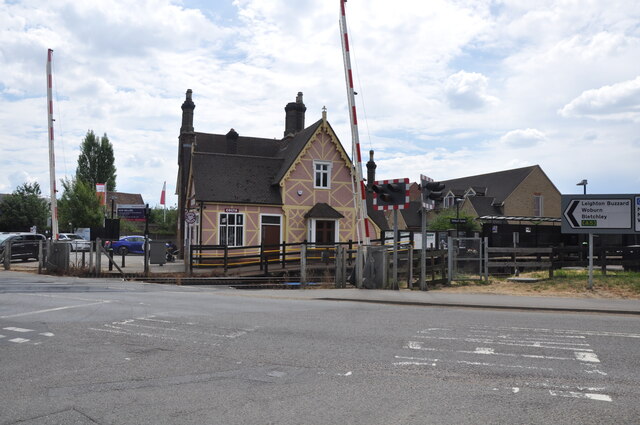
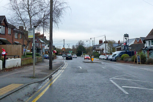
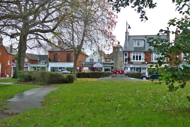
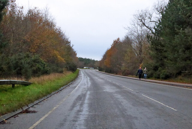
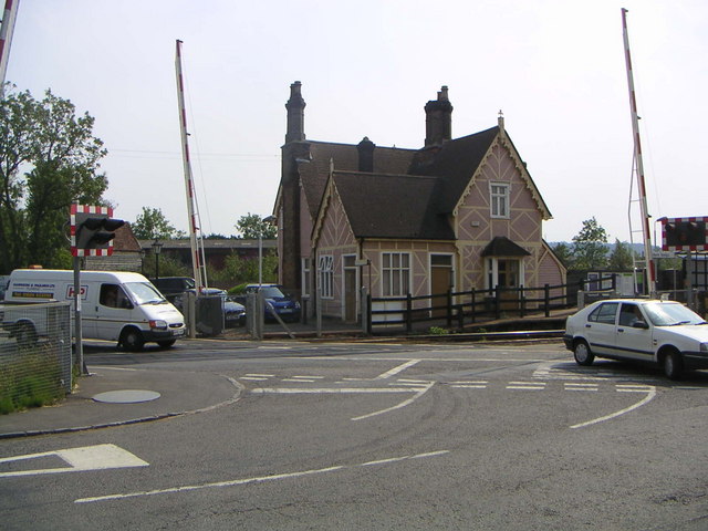
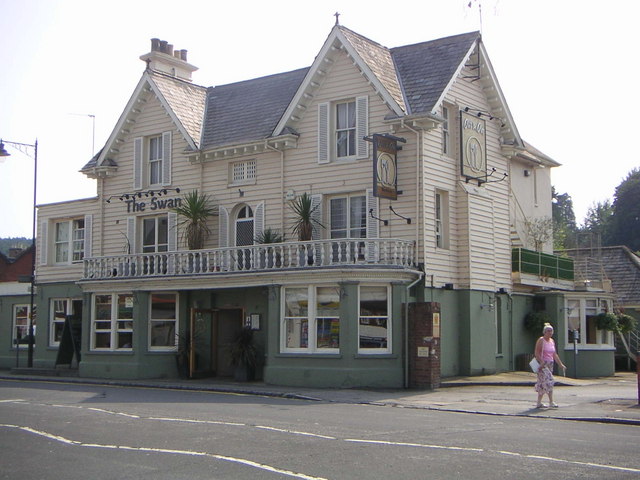
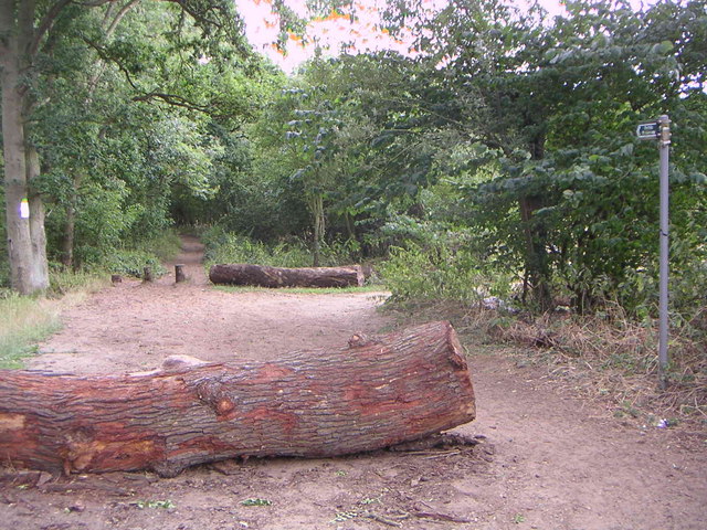
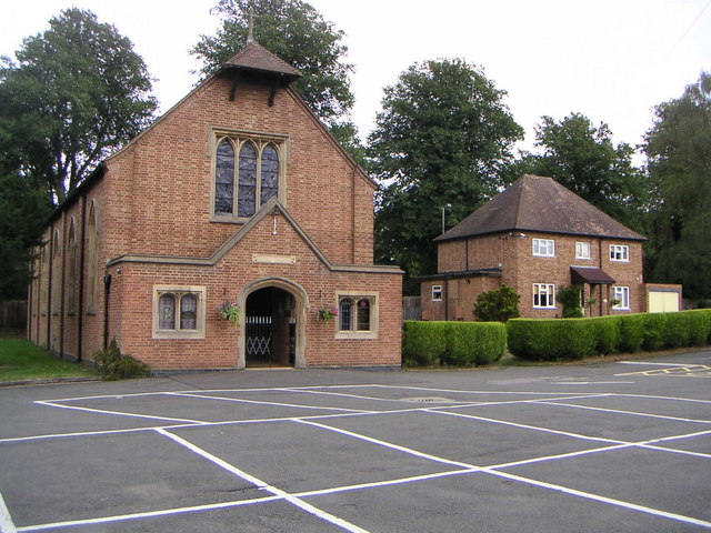
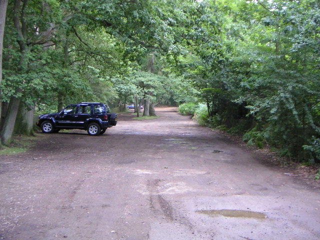
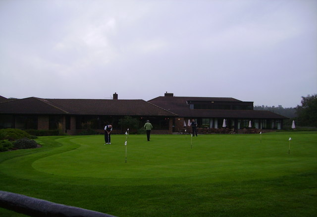
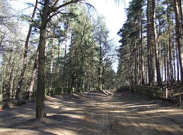
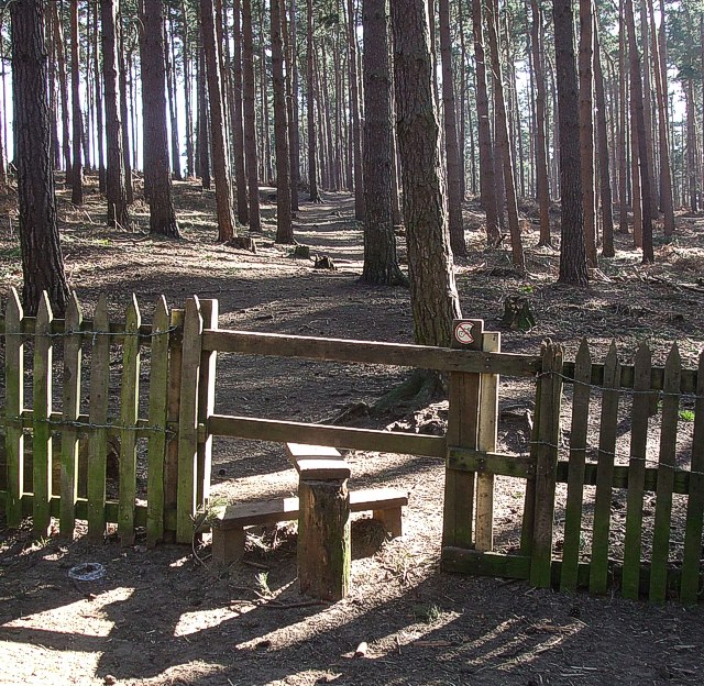
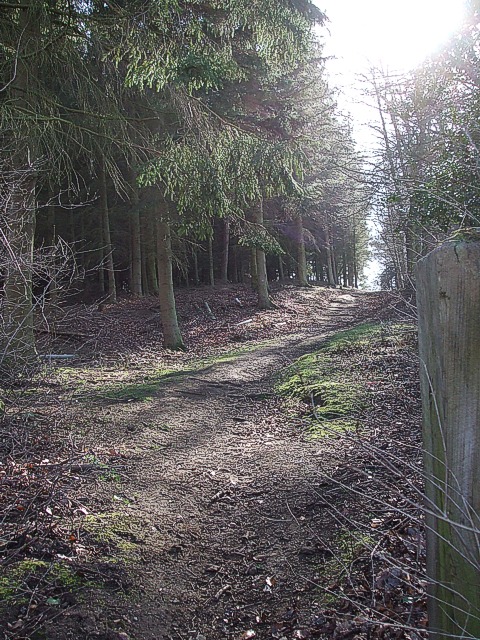
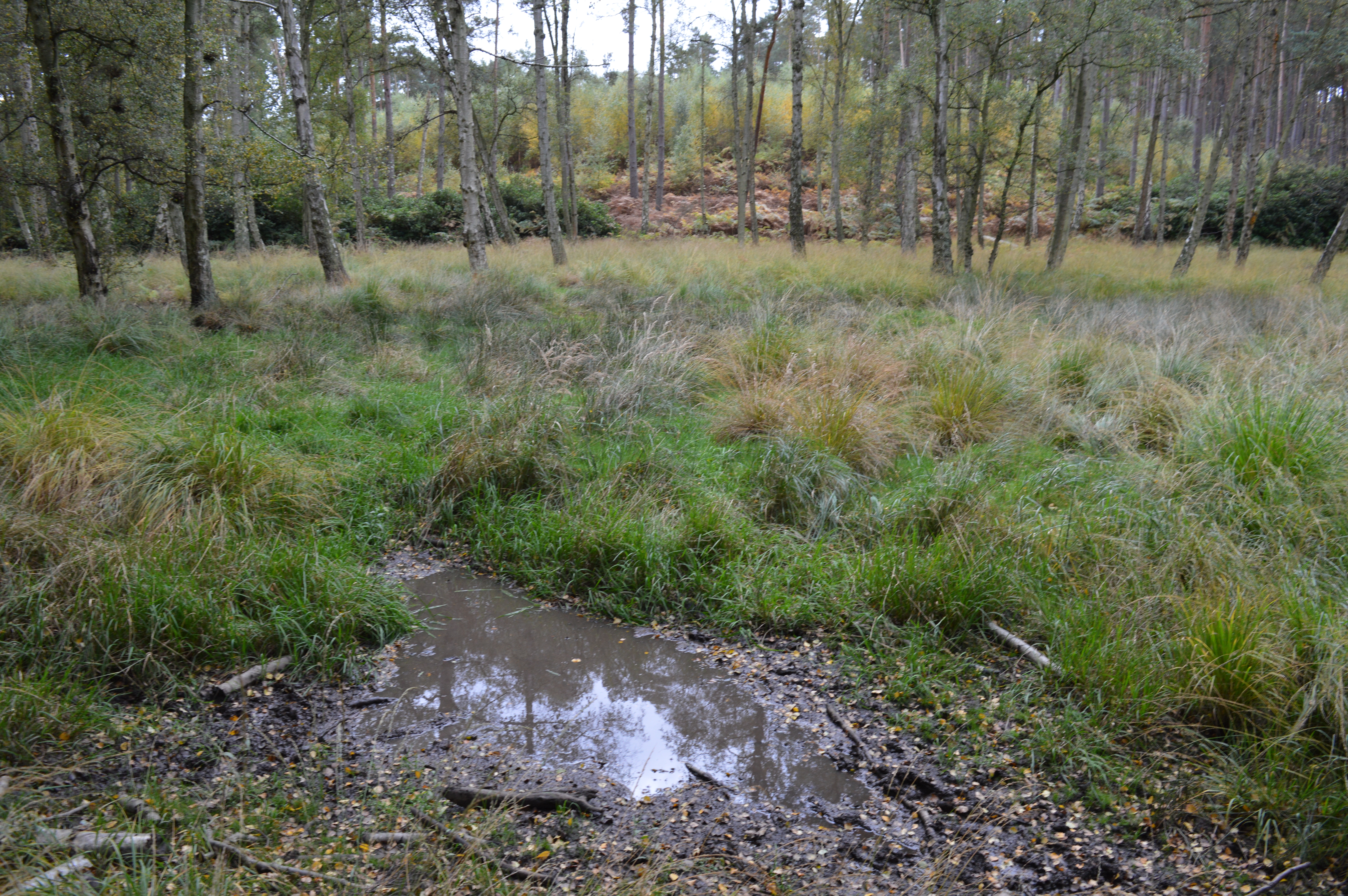
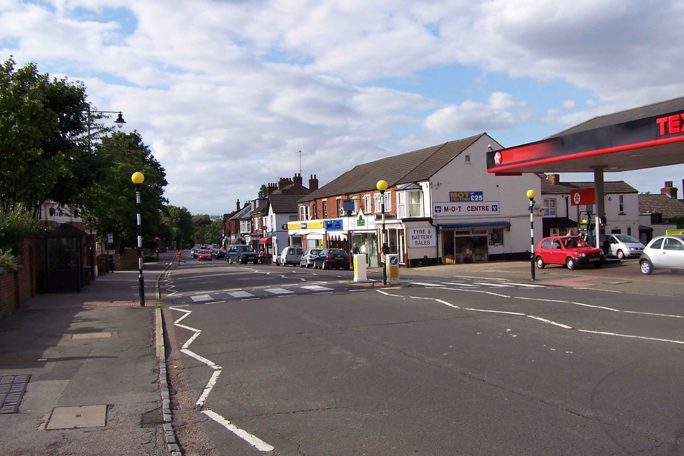
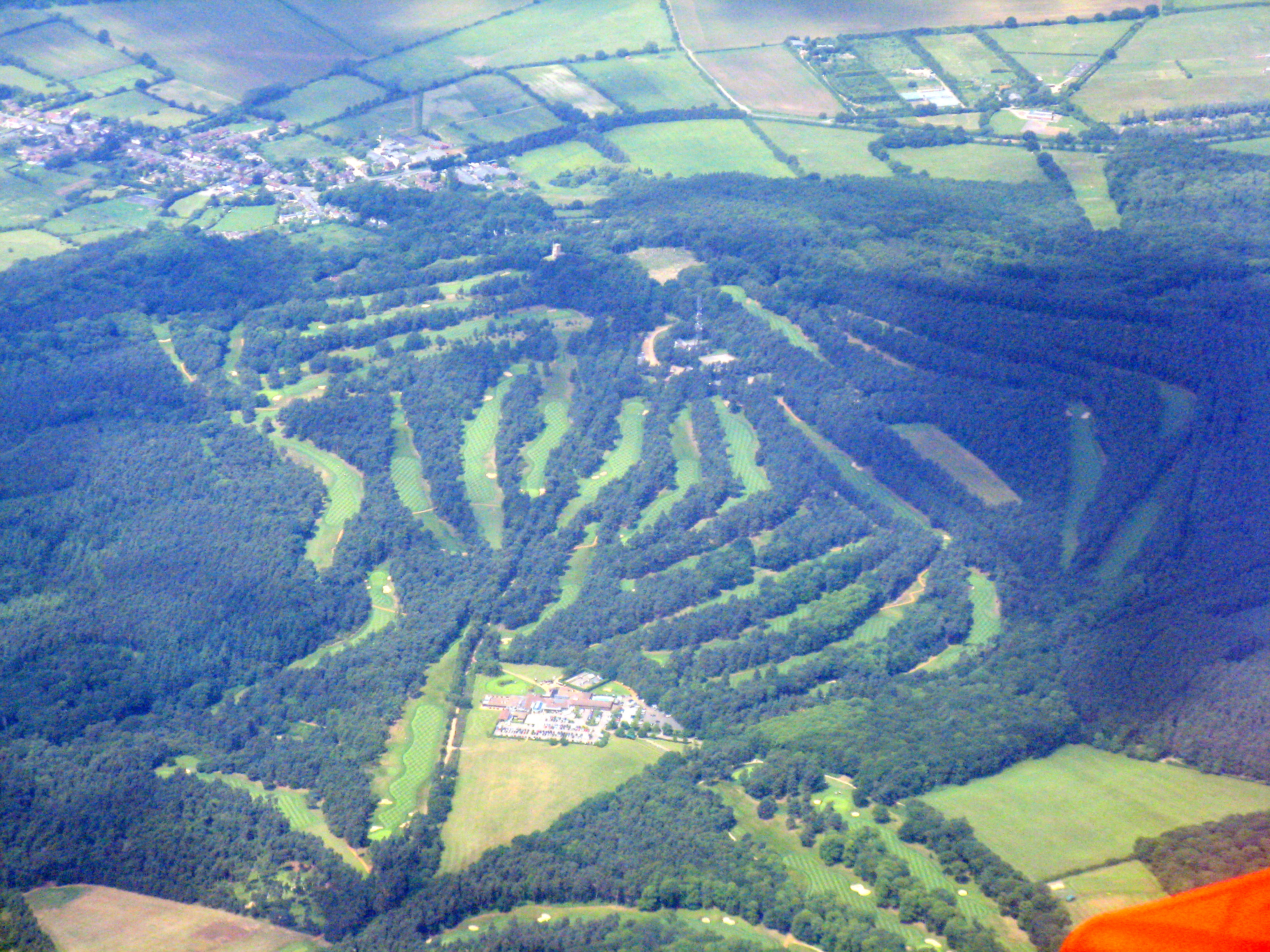
Aspley Heath Images

Images are sourced within 2km of 52.004188/-0.65186594 or Grid Reference SP9234. Thanks to Geograph Open Source API. All images are credited.

Woburn Sands Station from Cranfield Road Woburn Sands Station is adjacent to the Newport Road level crossing. The station building has been tastefully restored and is now a Costa Coffee cafe.  Traffic on this busy road is held up whenever trains need to pass, 4 times an hour or more. When East West Railway begin running an enhanced passenger service on this line, hold ups will be much more frequent. Replacement of the crossing with a bridge is the obvious answer, but it would have to be further away and thus would starve the town of passing traffic, which the residents are not happy with. No decision as to what the solution is has been made yet.
Woburn Sands Station from Cranfield Road
Woburn Sands Station is adjacent to the Newport Road level crossing. The station building has been tastefully restored and is now a Costa Coffee cafe. Traffic on this busy road is held up whenever trains need to pass, 4 times an hour or more. When East West Railway begin running an enhanced passenger service on this line, hold ups will be much more frequent. Replacement of the crossing with a bridge is the obvious answer, but it would have to be further away and thus would starve the town of passing traffic, which the residents are not happy with. No decision as to what the solution is has been made yet.
Station Road, Woburn Sands Towards the station, which is on the Bletchley - Bedford line.
Station Road, Woburn Sands
Towards the station, which is on the Bletchley - Bedford line.
War memorial, Woburn Sands In full, Woburn Sands and Aspley Heath War Memorial. It is grade II listed, and unusually incorporates a clock.
War memorial, Woburn Sands
In full, Woburn Sands and Aspley Heath War Memorial. It is grade II listed, and unusually incorporates a clock.
Woburn Road, Woburn Sands Entering the village from the Woburn direction. The two are a fair way apart.
Woburn Road, Woburn Sands
Entering the village from the Woburn direction. The two are a fair way apart.
Road from Woburn to Woburn Sands Very grand for an unclassified road, and indeed it once was the A50.
Road from Woburn to Woburn Sands
Very grand for an unclassified road, and indeed it once was the A50.
Village centre, Aspley Guise
Farmland, Woburn Barley to the north of the ruins of Horsemoor Farm.
Farmland, Woburn
Barley to the north of the ruins of Horsemoor Farm.
Farmland, Woburn Wheat beside the bridleway approaching Birchmoor Farm.
Farmland, Woburn
Wheat beside the bridleway approaching Birchmoor Farm.
Country road ESE of Bow Brickhill The single track road from Bow Brickhill that runs ESE through the woods.  The mast at SP91475 34195 is just visible through the trees.
Country road ESE of Bow Brickhill
The single track road from Bow Brickhill that runs ESE through the woods. The mast at SP91475 34195 is just visible through the trees.
Woburn Sands Railway Station Another renovated and privately owned former station house on the Bletchley - Bedford line.
Woburn Sands Railway Station
Another renovated and privately owned former station house on the Bletchley - Bedford line.
The Swan, Woburn Sands The Swan pub and restaurant in Woburn Sands, located at the busy junction on the MK -to- Woburn & Bow Brickhill -to- M1 J13 roads.
The Swan, Woburn Sands
The Swan pub and restaurant in Woburn Sands, located at the busy junction on the MK -to- Woburn & Bow Brickhill -to- M1 J13 roads.
Public Bridleway The view southwards into Browns Wood along the bridleway that joins up with the Milton Keynes Boundary Walk.
Public Bridleway
The view southwards into Browns Wood along the bridleway that joins up with the Milton Keynes Boundary Walk.
St Mary's Church, Woburn Sands A Catholic church in Woburn Sands that seems to have been built within the last 50 years, as it doesn't show up on any '40s OS maps.  To the right appears to be the father's house. In the grounds are also a meeting hall and cemetery.
St Mary's Church, Woburn Sands
A Catholic church in Woburn Sands that seems to have been built within the last 50 years, as it doesn't show up on any '40s OS maps. To the right appears to be the father's house. In the grounds are also a meeting hall and cemetery.
Sandy Lane The view at the top of Aspley Heath looking down Sandy Lane.  I believe you're allowed to drive your car down here if you're foolish enough, so it's mainly used as a public footpath and bridleway.
Sandy Lane
The view at the top of Aspley Heath looking down Sandy Lane. I believe you're allowed to drive your car down here if you're foolish enough, so it's mainly used as a public footpath and bridleway.
Woburn Golf Club Club house and practice putting green
Woburn Golf Club
Club house and practice putting green
Track through New  Wavendon Heath This track is a "BOAT", that is a "Byway Open to All Traffic" marked on 1:25000 scale OS maps with a line of green crosses. It leads into the New Wavendon Heath section of Aspley Woods as a continuation of the lane from Little Brickhill and continues through the woods to Aspley Heath.
Track through New Wavendon Heath
This track is a "BOAT", that is a "Byway Open to All Traffic" marked on 1:25000 scale OS maps with a line of green crosses. It leads into the New Wavendon Heath section of Aspley Woods as a continuation of the lane from Little Brickhill and continues through the woods to Aspley Heath.
Stile into New Wavendon Heath This stile leads into conifers of the New Wavendon Heath section of Aspley Woods from off the byway seen in <a href="https://www.geograph.org.uk/photo/367427">SP9233 : Track through New  Wavendon Heath</a>
Stile into New Wavendon Heath
This stile leads into conifers of the New Wavendon Heath section of Aspley Woods from off the byway seen in SP9233 : Track through New Wavendon Heath
Footpath into woods near Longslade Cottage The woodland around here was very attractive, with this sunlit footpath looking particularly appealing. The view from a little way up this path looking back can be seen here <a href="https://www.geograph.org.uk/photo/367489">SP9333 : Footpath in woods near Aspley Heath & Woburn</a>.
Footpath into woods near Longslade Cottage
The woodland around here was very attractive, with this sunlit footpath looking particularly appealing. The view from a little way up this path looking back can be seen here SP9333 : Footpath in woods near Aspley Heath & Woburn.
Show me another place!

Aspley Heath is located at Grid Ref: SP9234 (Lat: 52.004188, Lng: -0.65186594)

Unitary Authority: Central Bedfordshire

Police Authority: Bedfordshire

What 3 Words

///argued.mere.tomato. Near Woburn Sands, Buckinghamshire

Related Wikis

Aspley Heath

Aspley Heath is a village and civil parish in the Central Bedfordshire district of Bedfordshire, England, elevated and small in population and area, mostly...

Wavendon Heath Ponds

Wavendon Heath Ponds is a 4.7-hectare (12-acre) biological Site of Special Scientific Interest in Aspley Heath in Bedfordshire. It was notified in 1986...

Woburn Sands

Woburn Sands () is a town that straddles the border between Buckinghamshire and Bedfordshire in England, and also is part of the Milton Keynes urban area...

All Saints Church, Bow Brickhill

All Saints’ Church, Bow Brickhill is a Grade II* listed parish church in the Church of England in Bow Brickhill, Buckinghamshire, to the south-east of...

Aspley Guise & Woburn Sands Golf Club

Aspley Guise & Woburn Sands Golf Club is a golf club in Bedfordshire, England, situated between the village of Aspley Guise and the town of Woburn Sands...

Woburn Sands railway station

Woburn Sands railway station serves the town of Woburn Sands and the village of Wavendon in the City of Milton Keynes in Buckinghamshire, England. The...

2016 Women's British Open

The 2016 Ricoh Women's British Open was played 28–31 July in England at the Woburn Golf and Country Club near Milton Keynes, Buckinghamshire, northwest...

Woburn Golf and Country Club

Woburn Golf Club is a golf club in England located in Little Brickhill, near Milton Keynes within the county of Bedfordshire, about fifty miles (80 km...

Nearby Amenities

Located within 500m of 52.004188,-0.65186594
Aspley Heath
Place: village
Wikidata: Q1520381
Wikipedia: en:Aspley Heath
Lat/Long: 52.0033932/-0.6528758
Daneswood
Place: locality
Source: OS_OpenData_StreetView
Lat/Long: 52.000917/-0.6556154
Post Box
Brand: Royal Mail
Brand Wikidata: Q638098
Brand Wikipedia: en:Royal Mail
Collection Times: Mo-Fr 16:30; Sa 11:00
Operator: Royal Mail
Operator Wikidata: Q638098
Post Box Type: lamp
Ref: MK17 69
Royal Cypher: EIIR
Royal Cypher Wikidata: Q33102113
Source: survey
Lat/Long: 52.0017198/-0.6558235
Post Box
Brand: Royal Mail
Brand Wikidata: Q638098
Brand Wikipedia: en:Royal Mail
Collection Times: Mo-Fr 16:30; Sa 11:00
Operator: Royal Mail
Operator Wikidata: Q638098
Post Box Type: wall
Ref: MK17 15
Royal Cypher: EIIR
Royal Cypher Wikidata: Q33102113
Source: survey
Lat/Long: 52.0043027/-0.6518467
Direction: 190
Generator Method: photovoltaic
Generator Output Electricity: yes
Generator Solar Modules: 16
Generator Source: solar
Generator Type: solar_photovoltaic_panel
Location: roof
Power: generator
Lat/Long: 52.0072337/-0.6489558
Direction: 150
Generator Method: photovoltaic
Generator Output Electricity: yes
Generator Solar Modules: 5
Generator Source: solar
Generator Type: solar_photovoltaic_panel
Location: roof
Power: generator
Lat/Long: 52.0075362/-0.6513177
Direction: 130
Generator Method: photovoltaic
Generator Output Electricity: yes
Generator Solar Modules: 4
Generator Source: solar
Generator Type: solar_photovoltaic_panel
Location: roof
Power: generator
Lat/Long: 52.0075012/-0.65138
Direction: 100
Generator Method: photovoltaic
Generator Output Electricity: yes
Generator Solar Modules: 3
Generator Source: solar
Generator Type: solar_photovoltaic_panel
Location: roof
Power: generator
Lat/Long: 52.0074489/-0.6514194
Direction: 90
Generator Method: photovoltaic
Generator Output Electricity: yes
Generator Solar Modules: 4
Generator Source: solar
Generator Type: solar_photovoltaic_panel
Location: roof
Power: generator
Lat/Long: 52.0074148/-0.6514229
Direction: 100
Generator Method: photovoltaic
Generator Output Electricity: yes
Generator Solar Modules: 16
Generator Source: solar
Generator Type: solar_photovoltaic_panel
Location: roof
Power: generator
Lat/Long: 52.0072976/-0.6493734
Direction: 195
Generator Method: photovoltaic
Generator Output Electricity: yes
Generator Solar Modules: 8
Generator Source: solar
Generator Type: solar_photovoltaic_panel
Location: roof
Power: generator
Lat/Long: 52.0065033/-0.6510404
Direction: 185
Generator Method: photovoltaic
Generator Output Electricity: yes
Generator Solar Modules: 8
Generator Source: solar
Generator Type: solar_photovoltaic_panel
Location: roof
Power: generator
Lat/Long: 52.0036406/-0.6525061
Direction: 275
Generator Method: photovoltaic
Generator Output Electricity: yes
Generator Solar Modules: 7
Generator Source: solar
Generator Type: solar_photovoltaic_panel
Location: roof
Power: generator
Lat/Long: 52.0036703/-0.6525301
Direction: 205
Generator Method: photovoltaic
Generator Output Electricity: yes
Generator Solar Modules: 8
Generator Source: solar
Generator Type: solar_photovoltaic_panel
Location: roof
Power: generator
Lat/Long: 52.0032267/-0.6520621
Direction: 115
Generator Method: photovoltaic
Generator Output Electricity: yes
Generator Solar Modules: 12
Generator Source: solar
Generator Type: solar_photovoltaic_panel
Location: roof
Power: generator
Lat/Long: 52.0032146/-0.6521662
Direction: 205
Generator Method: photovoltaic
Generator Output Electricity: yes
Generator Solar Modules: 11
Generator Source: solar
Generator Type: solar_photovoltaic_panel
Location: roof
Power: generator
Lat/Long: 52.002978/-0.6522739
Direction: 215
Generator Method: photovoltaic
Generator Output Electricity: yes
Generator Solar Modules: 6
Generator Source: solar
Generator Type: solar_photovoltaic_panel
Location: roof
Power: generator
Lat/Long: 52.0030351/-0.6533322
Direction: 125
Generator Method: photovoltaic
Generator Output Electricity: yes
Generator Solar Modules: 5
Generator Source: solar
Generator Type: solar_photovoltaic_panel
Location: roof
Power: generator
Lat/Long: 52.0030844/-0.6534339
The data included in this document is from www.openstreetmap.org. The data is made available under ODbL.

Have you been to Aspley Heath?

Leave your review of Aspley Heath below (or comments, questions and feedback).