Aspley Heath

Settlement in Warwickshire Stratford-on-Avon

England

Aspley Heath

Forde Hall Lane, Trap's View
Forde Hall Lane, Trap's View Credit: Roy Hughes

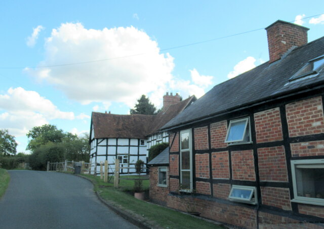
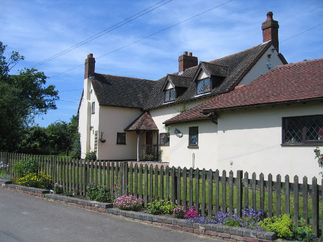
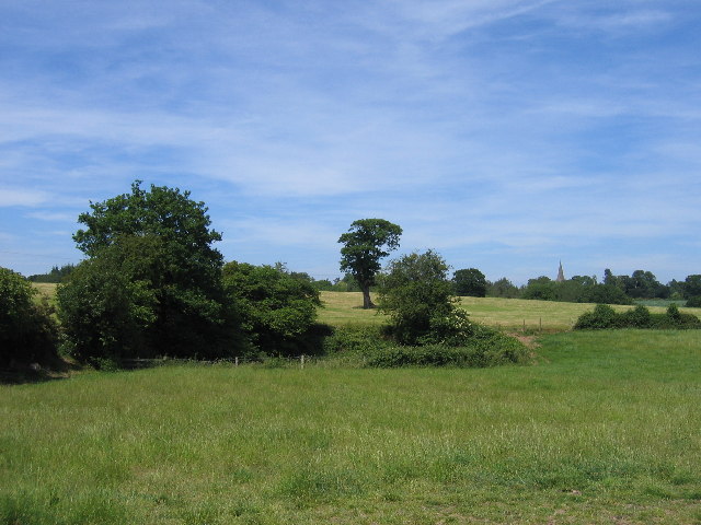
Aspley Heath is a small village located in the county of Warwickshire, England. Situated approximately 8 miles southeast of the county town of Warwick, Aspley Heath is known for its picturesque surroundings and peaceful atmosphere. The village is nestled on a gently rolling landscape, surrounded by lush green fields and woodland areas, making it an idyllic countryside retreat.

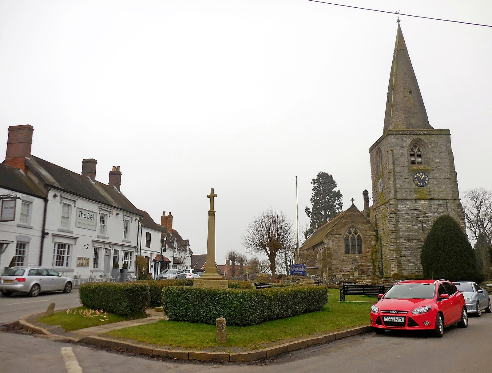
Despite its small size, Aspley Heath has a rich history dating back to medieval times. The village is home to several historic buildings, including a charming 12th-century church, St. Peter's Church, which stands as a testament to its past. The church features beautiful stained glass windows and an intricately carved stone tower.

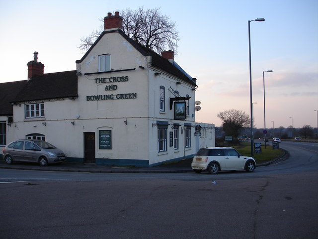
Aspley Heath offers a range of amenities to its residents and visitors. The village has a primary school, providing education for local children, and a community center that hosts various social events and activities. Additionally, there is a local pub, The Red Lion, where residents and visitors can enjoy a traditional pub meal or a refreshing drink.

The surrounding countryside provides ample opportunities for outdoor activities, such as hiking, cycling, and horseback riding. Aspley Heath is also within close proximity to several nature reserves and parks, including the nearby Warwickshire Wildlife Trust's Aspley Woods, which is known for its diverse wildlife and scenic walking trails.

Overall, Aspley Heath offers a tranquil and picturesque setting, making it an attractive place for those seeking a peaceful countryside lifestyle.

If you have any feedback on the listing, please let us know in the comments section below.
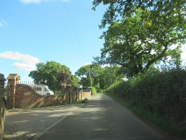
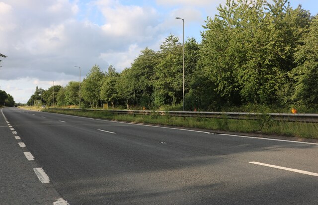
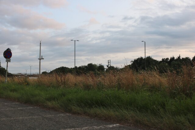
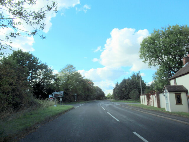
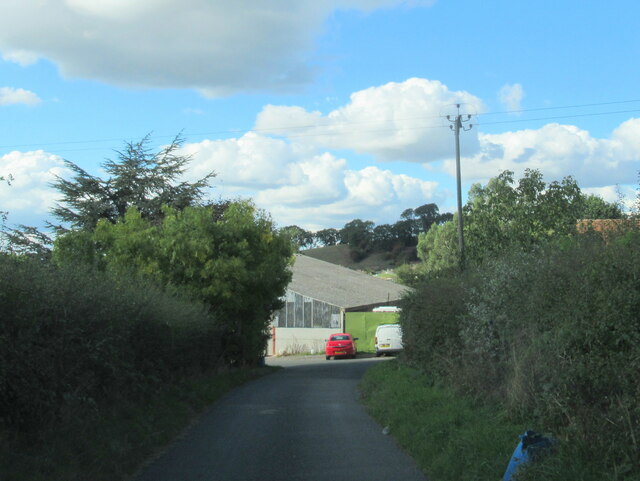
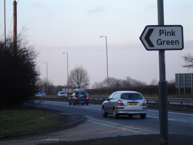
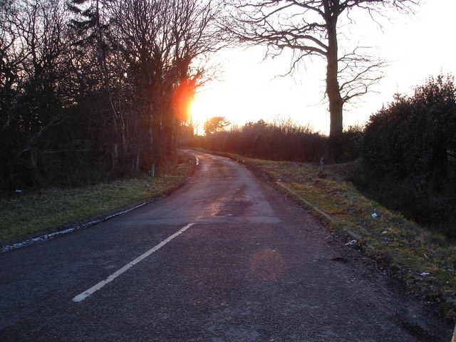
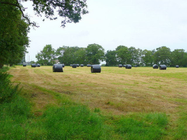
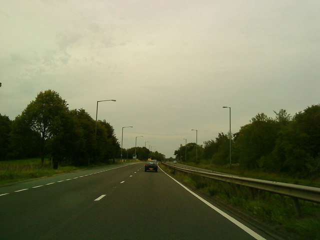
Aspley Heath Images

Images are sourced within 2km of 52.333821/-1.859667 or Grid Reference SP0970. Thanks to Geograph Open Source API. All images are credited.

Forde Hall Lane, Trap's View
The A435, Pink Green
Ullenhall Lane, Gorcott Hill Leaving Alcester Road on the right
Ullenhall Lane, Gorcott Hill
Leaving Alcester Road on the right
Portable toilet on Ullenhall Lane, Gorcott Hill By Alcester Road
Portable toilet on Ullenhall Lane, Gorcott Hill
By Alcester Road
Ullenhall Lan at Gorcott Hill junction
Wapping Lane at Lower Greenhills Farm
Wren's Nest and Mount Pleasant, Wapping
The A435 highway junction to Pink Green This colourfully named small hamlet is signposted directly off the A435 trunk road near Redditch
The A435 highway junction to Pink Green
This colourfully named small hamlet is signposted directly off the A435 trunk road near Redditch
Sunset on the lane leading to Pink Green A late winter's sunset over the lane leading to the quaintly named hamlet of Pink Green
Sunset on the lane leading to Pink Green
A late winter's sunset over the lane leading to the quaintly named hamlet of Pink Green
Going down Gorcott Hill From the bridge near to the Holly Bush Public House
Going down Gorcott Hill
From the bridge near to the Holly Bush Public House
Green lane to Aspley Heath Looking north-east from near Alderhanger Farm.
Green lane to Aspley Heath
Looking north-east from near Alderhanger Farm.
Baled up and ready to go A good first silage cut from this field near Alderhanger Farm.
Baled up and ready to go
A good first silage cut from this field near Alderhanger Farm.
Pink Green is White! This snowy lane is not far from Pink Green and is just north of Alderhanger Farm just to the east of the A435.
Pink Green is White!
This snowy lane is not far from Pink Green and is just north of Alderhanger Farm just to the east of the A435.
Bridge over the A435
A435 at Pink Green
A435 at Pink Green
Hill Farm Near Tanworth-in-Arden with a colourful kerbside floral display.
Hill Farm
Near Tanworth-in-Arden with a colourful kerbside floral display.
The Pit Looking across the north east corner of the square with the spire of Tanworth-in-Arden church visible in the distance. The trees surround what the map labels as a "pit (disused)".
The Pit
Looking across the north east corner of the square with the spire of Tanworth-in-Arden church visible in the distance. The trees surround what the map labels as a "pit (disused)".
The Cross and Bowling Green Inn at Bransons Cross This popular Inn is located directly off the busy A435 trunk road at Bransons Cross, close to Redditch, Beoley and Tanworth.
The Cross and Bowling Green Inn at Bransons Cross
This popular Inn is located directly off the busy A435 trunk road at Bransons Cross, close to Redditch, Beoley and Tanworth.
Show me another place!

Aspley Heath is located at Grid Ref: SP0970 (Lat: 52.333821, Lng: -1.859667)

Administrative County: Warwickshire

District: Stratford-on-Avon

Police Authority: Warwickshire

What 3 Words

///expose.picked.events. Near Tidbury Green, West Midlands

Related Wikis

Nearby Amenities

Located within 500m of 52.333821,-1.859667
Crossing
Lat/Long: 52.3318849/-1.859632
Bus Stop
Rushbrook Lane
Bus: yes
Naptan AtcoCode: 4200F003100
Naptan Bearing: E
Naptan CommonName: Rushbrook Lane
Naptan Indicator: Adj
Naptan NaptanCode: waradagj
Naptan Street: Broad Lane
Naptan Verified: no
Public Transport: platform
Source: naptan_import
Lat/Long: 52.3356929/-1.858885
Bus Stop
Aspley Heath Lane
Bus: yes
Naptan AtcoCode: 4200F003101
Naptan Bearing: SW
Naptan CommonName: Aspley Heath Lane
Naptan Indicator: Adj
Naptan NaptanCode: waradagm
Naptan Street: Broad Lane
Naptan Verified: no
Public Transport: platform
Source: naptan_import
Lat/Long: 52.3356063/-1.8587185
Bus Stop
Blind Lane
Bus: yes
Naptan AtcoCode: 4200F156310
Naptan Bearing: SE
Naptan BusStopType: CUS
Naptan CommonName: Blind Lane
Naptan Indicator: Adj
Naptan NaptanCode: wardmdad
Naptan Street: Broad Lane
Naptan Verified: no
Public Transport: platform
Source: naptan_import
Lat/Long: 52.3333798/-1.8643518
Bus Stop
Aspley Heath Lane
Bus: yes
Naptan AtcoCode: 4200F160401
Naptan Bearing: NW
Naptan CommonName: Aspley Heath Lane
Naptan Indicator: Adj
Naptan Landmark: e
Naptan NaptanCode: waragmtg
Naptan Street: Blind Lane
Naptan Verified: no
Public Transport: platform
Source: naptan_import
Lat/Long: 52.3321076/-1.860452
Aspley Heath
Place: village
Population: 606
Source: 2011 Cenus
Lat/Long: 52.3338162/-1.859921
Post Box
Collection Times: Mo-Fr 09:00; Sa 07:00
Operator: Royal Mail
Operator Wikidata: Q638098
Post Box Type: lamp
Ref: B94 30D
Royal Cypher: EIIR
Royal Cypher Wikidata: Q33102113
Source: survey
Lat/Long: 52.3315132/-1.8575214
Generator Method: photovoltaic
Generator Output Electricity: yes
Generator Source: solar
Generator Type: solar_photovoltaic_panel
Location: roof
Power: generator
Lat/Long: 52.332334/-1.8600824
Generator Method: photovoltaic
Generator Output Electricity: yes
Generator Source: solar
Generator Type: solar_photovoltaic_panel
Location: roof
Power: generator
Lat/Long: 52.3322569/-1.8601187
Generator Method: photovoltaic
Generator Output Electricity: yes
Generator Source: solar
Generator Type: solar_photovoltaic_panel
Location: roof
Power: generator
Lat/Long: 52.3316349/-1.8561731
Power: pole
Source: bing
Lat/Long: 52.3344786/-1.8649815
Power: pole
Source: bing
Lat/Long: 52.3350055/-1.8651532
Power: pole
Source: bing
Lat/Long: 52.335789/-1.8654375
Power: pole
Source: bing
Lat/Long: 52.3365625/-1.8651639
Power: pole
Source: bing
Lat/Long: 52.3375827/-1.8636632
Power: pole
Source: bing
Lat/Long: 52.3378474/-1.8623918
Power: pole
Ref: 725841
Source: wpd_opendata
Transformer: distribution
Lat/Long: 52.3381112/-1.8609676
Power: pole
Ref: 721070
Source: wpd_opendata
Transformer: distribution
Lat/Long: 52.3366076/-1.8540153
Power: pole
Ref: 720195
Transformer: distribution
Lat/Long: 52.3341099/-1.8564118
Power: pole
Source: bing
Lat/Long: 52.334141/-1.8555348
Power: pole
Ref: 720196
Source: wpd_opendata
Transformer: distribution
Lat/Long: 52.3314981/-1.8554261
Power: pole
Source: bing
Lat/Long: 52.332316/-1.8551874
Power: pole
Source: bing
Lat/Long: 52.3331527/-1.8550359
Power: pole
Source: bing
Lat/Long: 52.3338148/-1.8547609
Power: pole
Source: bing
Lat/Long: 52.3342852/-1.8545303
Power: pole
Source: bing
Lat/Long: 52.3350178/-1.8543586
Power: pole
Source: bing
Lat/Long: 52.3357308/-1.8540823
Power: pole
Source: bing
Lat/Long: 52.3364355/-1.8538329
Power: pole
Source: bing
Lat/Long: 52.3325389/-1.8585174
Power: pole
Source: bing
Lat/Long: 52.3324102/-1.8576577
Power: pole
Source: bing
Lat/Long: 52.3323987/-1.8560793
The data included in this document is from www.openstreetmap.org. The data is made available under ODbL.

Have you been to Aspley Heath?

Leave your review of Aspley Heath below (or comments, questions and feedback).