Aspley Guise
Settlement in Bedfordshire
England
Aspley Guise
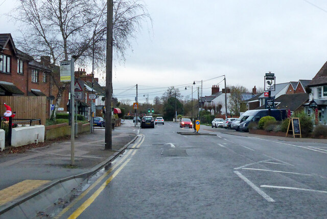
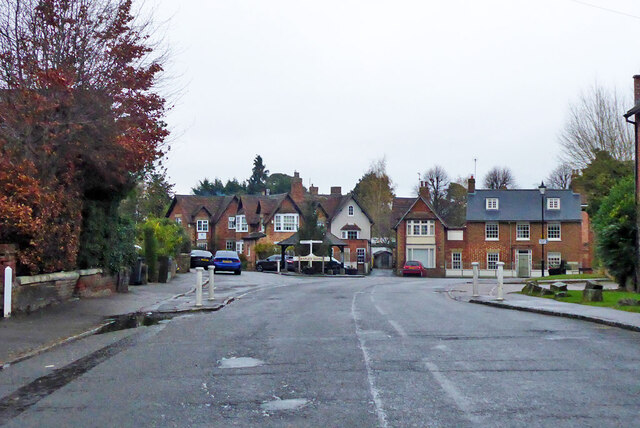
Aspley Guise is a small village located in the central part of Bedfordshire, England. It is situated about six miles southeast of Milton Keynes and approximately nine miles west of Bedford. With a population of around 2,000 residents, Aspley Guise is known for its picturesque countryside setting and charming village atmosphere.
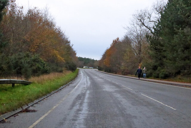
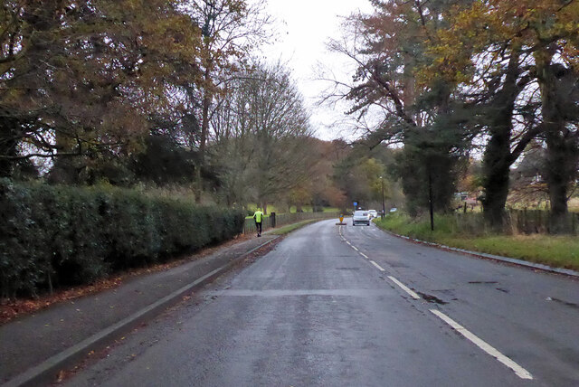
The village is surrounded by beautiful rolling hills and green fields, providing plenty of opportunities for outdoor activities such as hiking and cycling. One of the notable landmarks in Aspley Guise is St. Botolph's Church, a historic building dating back to the 13th century. It is renowned for its stunning architecture and intricate stained glass windows.
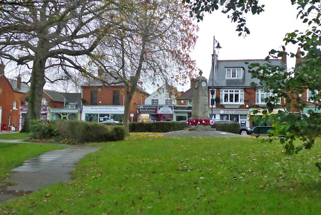
Aspley Guise also boasts a range of local amenities, including a primary school, a post office, and several shops and pubs. The village has a strong sense of community, with various social events and clubs held throughout the year.
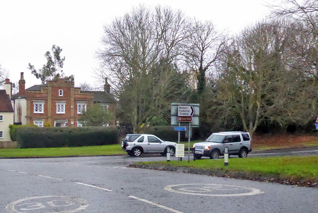
Transport links in Aspley Guise are convenient, with a railway station providing regular services to London and other nearby towns. The village is also well-connected by road, with easy access to major routes such as the M1 motorway.
Overall, Aspley Guise offers a peaceful and idyllic setting, making it an attractive place to live for those seeking a rural lifestyle while still being within reach of larger towns and cities.
If you have any feedback on the listing, please let us know in the comments section below.
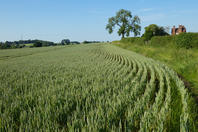
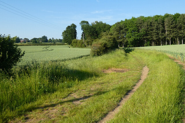
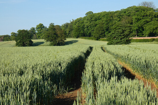
Aspley Guise Images
Images are sourced within 2km of 52.013846/-0.628305 or Grid Reference SP9435. Thanks to Geograph Open Source API. All images are credited.


Aspley Guise is located at Grid Ref: SP9435 (Lat: 52.013846, Lng: -0.628305)
Unitary Authority: Central Bedfordshire
Police Authority: Bedfordshire
What 3 Words
///acre.think.servicing. Near Aspley Guise, Bedfordshire
Nearby Locations
Related Wikis

Aspley Guise
Aspley Guise is a village and civil parish in the west of Central Bedfordshire, England. In addition to the village of Aspley Guise itself, the civil parish...

Aspley House
Aspley House is a Grade II* listed 17th-century country house near Aspley Guise in Bedfordshire, England. == References ==
Aspley Guise & Woburn Sands Golf Club
Aspley Guise & Woburn Sands Golf Club is a golf club in Bedfordshire, England, situated between the village of Aspley Guise and the town of Woburn Sands...

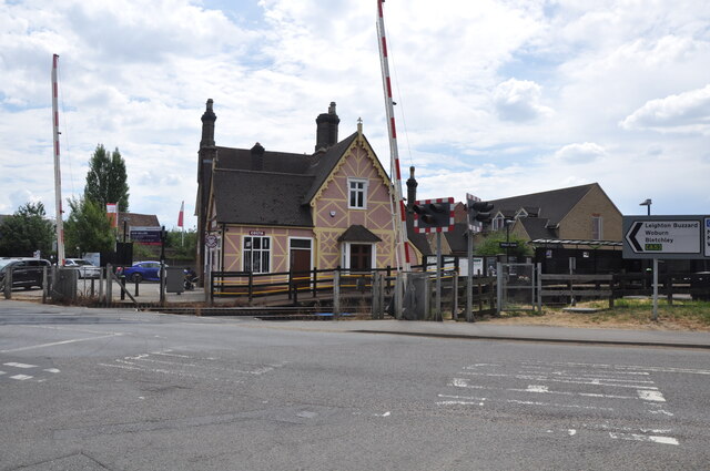
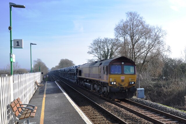
Aspley Guise railway station
Aspley Guise railway station serves the village of Aspley Guise in Bedfordshire, England. It is on the Bletchley – Bedford Marston Vale Line. The station...
Nearby Amenities
Located within 500m of 52.013846,-0.628305Have you been to Aspley Guise?
Leave your review of Aspley Guise below (or comments, questions and feedback).