Alderford
Settlement in Norfolk Broadland
England
Alderford
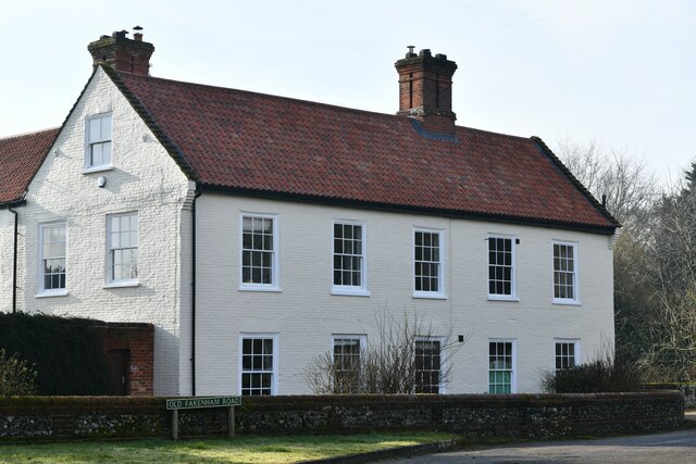
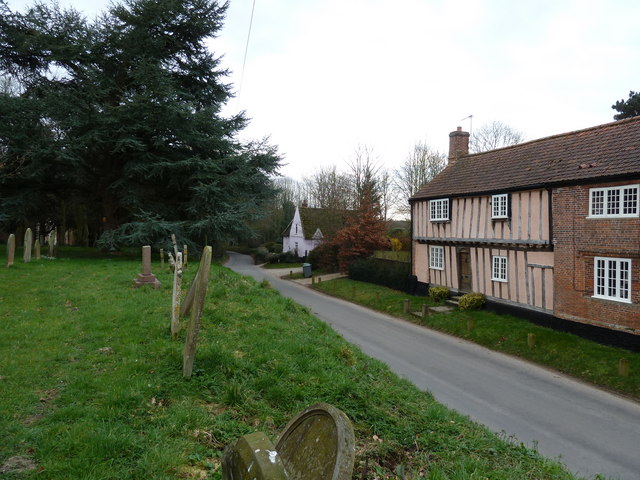
Alderford is a quaint village located in the county of Norfolk, England. Situated approximately 12 miles northwest of the city of Norwich, it falls within the district of Broadland. With a population of around 300 residents, it exudes a peaceful and close-knit community atmosphere.
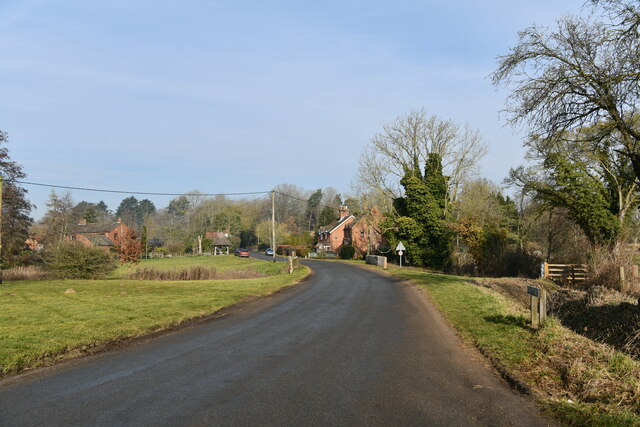
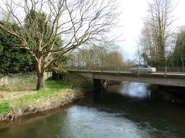
The village is nestled amidst picturesque countryside, offering breathtaking views and tranquil surroundings. Alderford is blessed with an abundance of natural beauty, featuring lush green fields, meandering streams, and a small lake. It is particularly known for its stunning flora and fauna, attracting nature enthusiasts and birdwatchers alike.
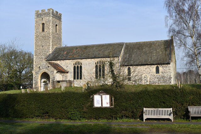
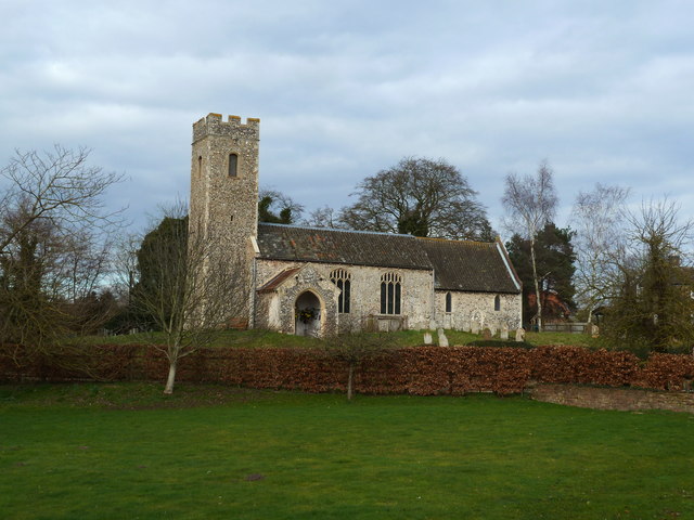
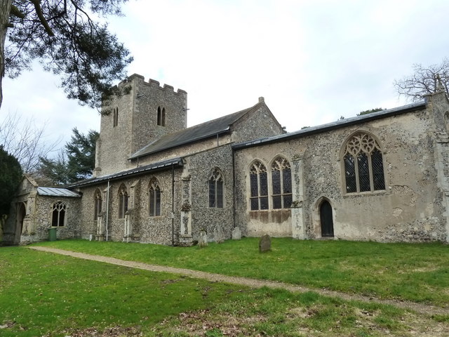
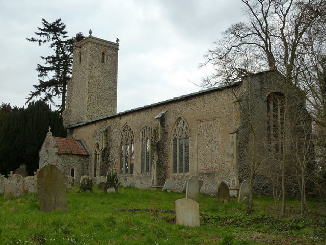
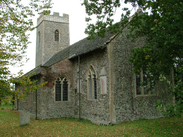
The heart of Alderford is its historic church, St. John the Baptist. Dating back to the 14th century, the church is a fine example of medieval architecture and serves as a focal point for religious ceremonies and community events.
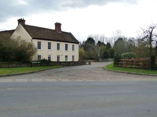
Despite its small size, Alderford boasts a vibrant community spirit. The village hall serves as a hub for various social activities, including cultural events, clubs, and meetings. Additionally, a local pub provides a cozy gathering spot for residents and visitors alike.
Alderford's location offers easy access to nearby amenities. The bustling city of Norwich provides a range of shopping, dining, and entertainment options, while the Norfolk Broads, a network of rivers and lakes, offer opportunities for boating, fishing, and leisurely walks.
In summary, Alderford is a charming village that offers a tranquil escape from the bustling city life. With its stunning natural surroundings, rich history, and close-knit community, it presents a delightful destination for those seeking a peaceful retreat in the heart of Norfolk.
If you have any feedback on the listing, please let us know in the comments section below.
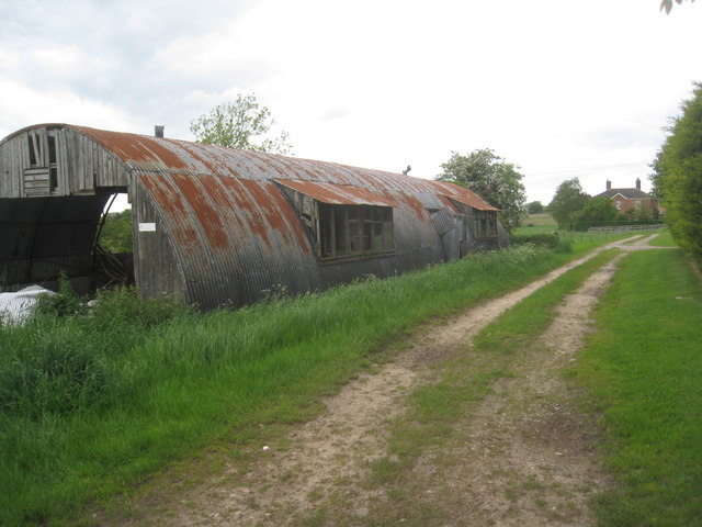
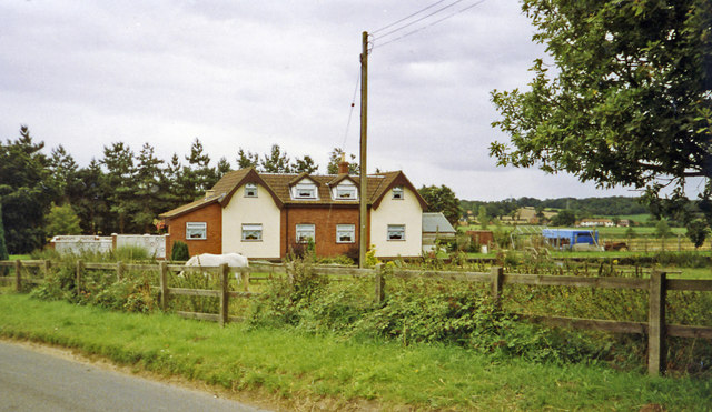
Alderford Images
Images are sourced within 2km of 52.723909/1.146047 or Grid Reference TG1218. Thanks to Geograph Open Source API. All images are credited.
Alderford is located at Grid Ref: TG1218 (Lat: 52.723909, Lng: 1.146047)
Administrative County: Norfolk
District: Broadland
Police Authority: Norfolk
What 3 Words
///depths.nest.available. Near Cawston, Norfolk
Nearby Locations
Related Wikis

Alderford
Alderford is a village and civil parish in the English county of Norfolk, about ten miles (16 km) north-west of Norwich. The name 'Alderford' derives from...

Alderford Common
Alderford Common is a 17.5-hectare (43-acre) biological Site of Special Scientific Interest north-west of Norwich in Norfolk.The common has a thin layer...

Broadland (UK Parliament constituency)
Broadland is a Norfolk constituency, which has been represented in the House of Commons of the UK Parliament since the 2019 general election by Jerome...

Swannington, Norfolk
Swannington is a village and civil parish in the English county of Norfolk, United Kingdom. The villages name means 'Farm/settlement connected with Swan...

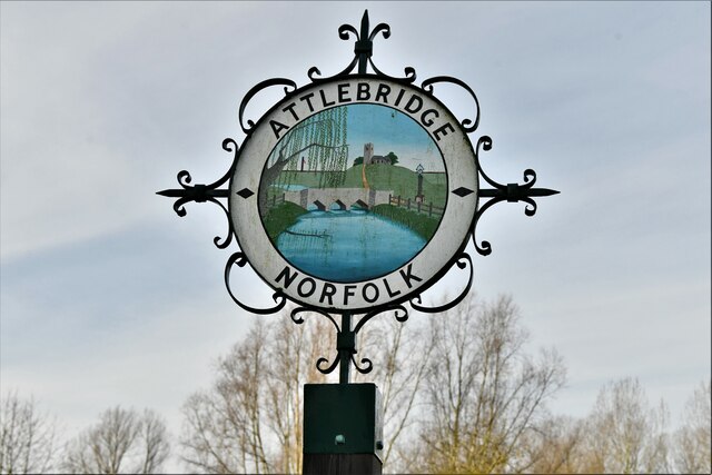
Attlebridge railway station
Attlebridge railway station is a closed station in Norfolk, England. It served the small village of Attlebridge. It was constructed by the Midland and...

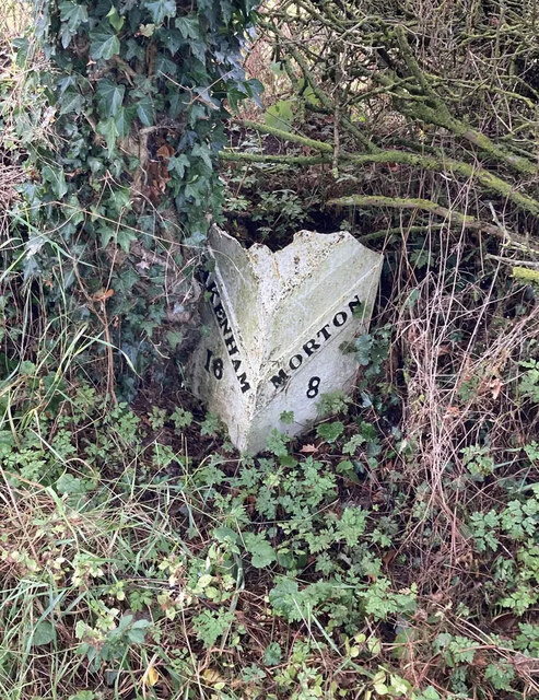
Morton on the Hill
Morton on the Hill is a small but scattered village and civil parish in the English county of Norfolk, about 8 miles (13 km) north-west of Norwich. The...

River Ainse (or Eyn)
The River Ainse (or Eyn) is a small river in the county of Norfolk. It is a tributary of the River Wensum which it merges with at Lenwade. The River Ainse...
St Faith's Church, Little Witchingham
St Faith's Church is a redundant Anglican church in the village of Little Witchingham in Norfolk, England. It is recorded in the National Heritage List...
Nearby Amenities
Located within 500m of 52.723909,1.146047Have you been to Alderford?
Leave your review of Alderford below (or comments, questions and feedback).