Bush Meadow Plantation

Wood, Forest in Norfolk Broadland

England

Bush Meadow Plantation

Pterodactyl at Roarr! At Roarr!
Pterodactyl at Roarr! Credit: David Bremner

Bush Meadow Plantation is a sprawling woodland area located in Norfolk, England. Covering an expansive area of lush greenery, it is known for its dense forest and diverse range of plant species. The plantation is situated in close proximity to the village of Bush Meadow, hence its name.

The woodland in Bush Meadow Plantation is predominantly made up of deciduous trees such as oak, beech, and birch. This creates a stunning display of vibrant colors during the autumn season when the leaves change to hues of red, orange, and gold. The forest floor is carpeted with a variety of wildflowers, ferns, and mosses, adding to the natural beauty of the plantation.

The plantation is also home to a rich array of wildlife, making it a popular destination for nature enthusiasts and birdwatchers. Various species of birds, including woodpeckers, owls, and warblers, can be spotted throughout the year. Small mammals like foxes, rabbits, and squirrels are also frequently seen darting among the trees.

Visitors to Bush Meadow Plantation can enjoy a range of activities, including nature walks, picnicking, and photography. There are well-maintained trails that wind through the woodland, allowing visitors to explore the plantation at their own pace. In addition, the plantation offers educational programs and guided tours to educate visitors about the diverse ecosystem and conservation efforts.

Overall, Bush Meadow Plantation is a picturesque woodland area that offers a serene escape from the bustling city life. With its stunning flora and fauna, it provides a haven for nature lovers and a peaceful retreat for those seeking solace in the beauty of the natural world.

If you have any feedback on the listing, please let us know in the comments section below.

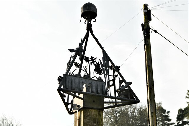
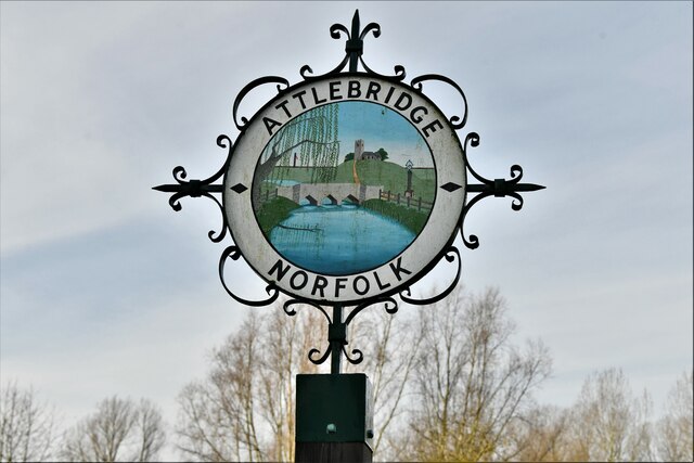
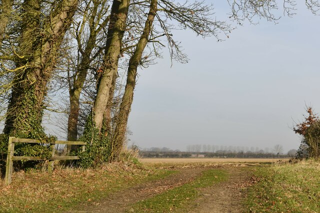
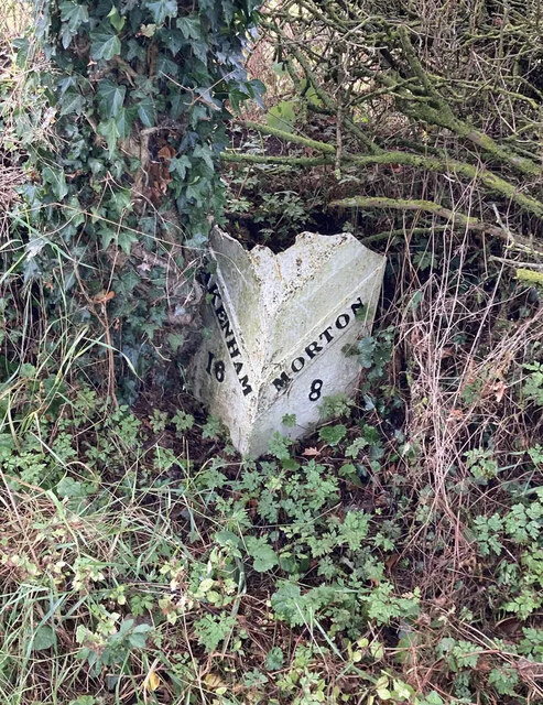
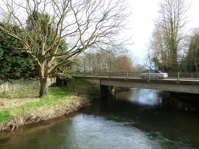
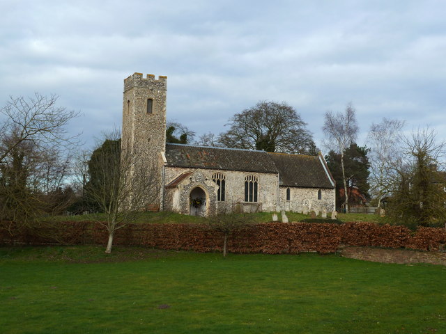
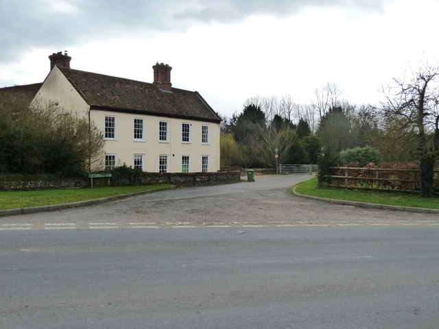
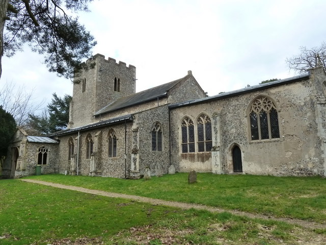
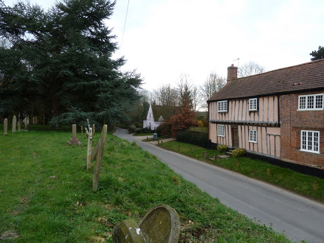
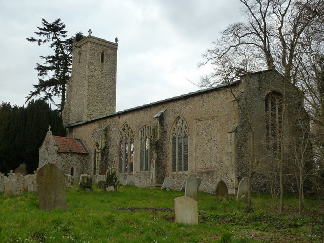
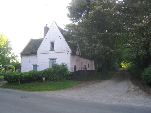
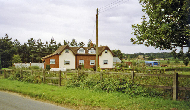
Bush Meadow Plantation Images

Images are sourced within 2km of 52.71795/1.1450292 or Grid Reference TG1218. Thanks to Geograph Open Source API. All images are credited.

Pterodactyl at Roarr! At Roarr!
Pterodactyl at Roarr!
At Roarr!
Attlebridge, St. Andrews Church: Southern aspect
Swannington: School Road
Attlebridge: The Old Barn
Swannington: Village sign
Attlebridge Village Sign
Swannington: Farm track
Old Milepost by the former A1067, Morton on the Hill parish Cast iron post by the UC road (was A1067), in parish of MORTON ON THE HILL (BROADLAND District), 100m North of No. 10 The Street, under hedge, on West side of road. Fakenham cast iron N-top, erected by the Norwich & Fakenham turnpike trust in the 19th century. Broken top.

Inscription reads:-
: FAKENHAM / 16 : : MORTON / 8 :

Milestone Society National ID: NO_NF08.
Old Milepost by the former A1067, Morton on the Hill parish
Cast iron post by the UC road (was A1067), in parish of MORTON ON THE HILL (BROADLAND District), 100m North of No. 10 The Street, under hedge, on West side of road. Fakenham cast iron N-top, erected by the Norwich & Fakenham turnpike trust in the 19th century. Broken top. Inscription reads:- : FAKENHAM / 16 : : MORTON / 8 : Milestone Society National ID: NO_NF08.
A1067 Fakenham Road over the Wensum at Attlebridge
St. Andrew's church, Attlebridge
Old Fakenham Road - leading to the footbridge
St. Margaret's church, Swannington
Houses as seen from the churchyard, Swannington
St, John the Baptist's church, Alderford
Dovecote at Church Farm, Alderford
A family group at Dinosaur Adventure
Cottages by the entrance to Manor Farm. Swannington Now just one cottage.
Cottages by the entrance to Manor Farm. Swannington
Now just one cottage.
Site -?remains - of Attlebridge station, 1993 View SW on A1067 road. The station had been on the ex-M&GN Joint line, Melton Constable (to right) - Norwich (City) line, which closed for passengers with the rest of the system from 2/3/59, but the section to Norwich City was retained for goods by means of a connection off the ex-GER Wroxham - County School line by the Themelthorpe Loop from 12/9/60 and lasted until 13/7/64. It is not obvious whether the houses had been connected with the railway.
Site -?remains - of Attlebridge station, 1993
View SW on A1067 road. The station had been on the ex-M&GN Joint line, Melton Constable (to right) - Norwich (City) line, which closed for passengers with the rest of the system from 2/3/59, but the section to Norwich City was retained for goods by means of a connection off the ex-GER Wroxham - County School line by the Themelthorpe Loop from 12/9/60 and lasted until 13/7/64. It is not obvious whether the houses had been connected with the railway.
Show me another place!

Bush Meadow Plantation is located at Grid Ref: TG1218 (Lat: 52.71795, Lng: 1.1450292)

Administrative County: Norfolk

District: Broadland

Police Authority: Norfolk

What 3 Words

///magazines.rifled.bugs. Near Reepham, Norfolk

Related Wikis

Alderford Common

Alderford Common is a 17.5-hectare (43-acre) biological Site of Special Scientific Interest north-west of Norwich in Norfolk.The common has a thin layer...

Attlebridge railway station

Attlebridge railway station is a closed station in Norfolk, England. It served the small village of Attlebridge. It was constructed by the Midland and...

Alderford

Alderford is a village and civil parish in the English county of Norfolk, about ten miles (16 km) north-west of Norwich. The name 'Alderford' derives from...

Morton on the Hill

Morton on the Hill is a small but scattered village and civil parish in the English county of Norfolk, about 8 miles (13 km) north-west of Norwich. The...

Broadland (UK Parliament constituency)

Broadland is a Norfolk constituency, which has been represented in the House of Commons of the UK Parliament since the 2019 general election by Jerome...

Attlebridge

Attlebridge is a village and civil parish in the English county of Norfolk. It is situated about 8 miles (13 km) north-west of Norwich, where the A1067...

Swannington, Norfolk

Swannington is a village and civil parish in the English county of Norfolk, United Kingdom. The villages name means 'Farm/settlement connected with Swan...

River Ainse (or Eyn)

The River Ainse (or Eyn) is a small river in the county of Norfolk. It is a tributary of the River Wensum which it merges with at Lenwade. The River Ainse...

Nearby Amenities

Located within 500m of 52.71795,1.1450292
Power: tower
Ref: PS51
Lat/Long: 52.7153327/1.1400676
Power: tower
Ref: PS52
Lat/Long: 52.7178008/1.1401373
Power: tower
Ref: PS53
Lat/Long: 52.7208259/1.1402795
Barrier: kissing_gate
Bicycle: no
Foot: yes
Lat/Long: 52.7200806/1.1494074
Artwork Type: sculpture
Description: Wooden bench with plaque reading "In memory of Greg Avey. An Environmental Cyclist. 1-2-1974 - 29-5-1999"
Tourism: artwork
Lat/Long: 52.7158469/1.1422036
Archaeological Site: tumulus
Historic: archaeological_site
Lat/Long: 52.7204825/1.1485648
Bench
Backrest: yes
Seats: 3
Lat/Long: 52.7199825/1.150674
Barrier: kissing_gate
Bicycle: no
Foot: yes
Lat/Long: 52.719305/1.1519982
Barrier: kissing_gate
Bicycle: no
Foot: yes
Lat/Long: 52.720584/1.1508422
Lime Kiln
Description: Now protected for a bat colony roost.
Historic: ruins
Lat/Long: 52.7204621/1.15107
Power: pole
Lat/Long: 52.7222951/1.1451772
Power: pole
Lat/Long: 52.7209954/1.1440614
Power: pole
Lat/Long: 52.7198111/1.1430395
Power: pole
Lat/Long: 52.7188931/1.1419263
Power: pole
Lat/Long: 52.7176892/1.1404525
Power: pole
Lat/Long: 52.7169004/1.1405893
Power: pole
Lat/Long: 52.7157801/1.1407462
Power: pole
Lat/Long: 52.7149702/1.1400448
Line Management: branch
Power: pole
Lat/Long: 52.7148312/1.1413658
Power: pole
Lat/Long: 52.7139148/1.1419719
The data included in this document is from www.openstreetmap.org. The data is made available under ODbL.

Have you been to Bush Meadow Plantation?

Leave your review of Bush Meadow Plantation below (or comments, questions and feedback).