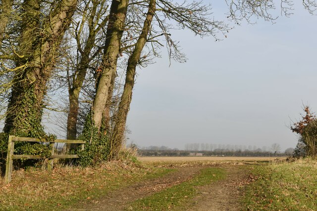
Alderford Common

Wood, Forest in Norfolk Broadland

England

Alderford Common

Attlebridge, St. Andrews Church: Southern aspect
Attlebridge, St. Andrews Church: Southern aspect Credit: Michael Garlick

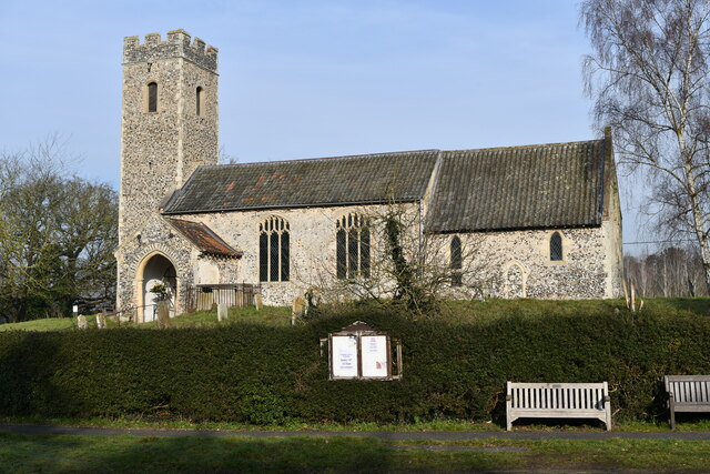
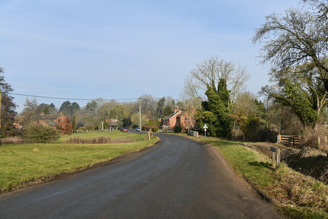
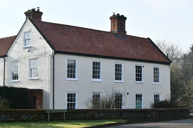
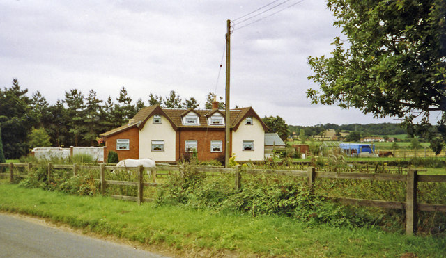
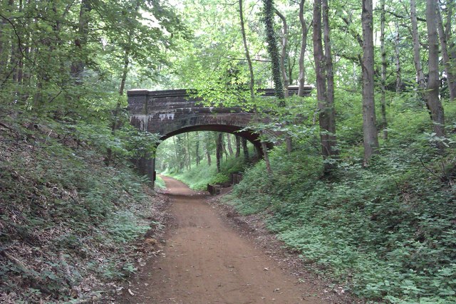
Alderford Common is a picturesque woodland located in Norfolk, England. Nestled within the Alderford village, the common covers an approximate area of 15 acres and is renowned for its natural beauty and diverse flora and fauna. The common is primarily composed of a mixture of broadleaf and coniferous trees, creating a lush green canopy that provides a refreshing escape from the hustle and bustle of city life.

The woodland features a variety of tree species, including oak, beech, birch, and pine, which thrive in the fertile soil and mild climate of the region. These trees provide a habitat for a wide range of wildlife, making Alderford Common a popular destination for nature enthusiasts and birdwatchers. Visitors can spot various bird species, such as woodpeckers, tits, finches, and the occasional tawny owl.

Several well-maintained walking trails meander through the common, allowing visitors to explore its enchanting beauty. These paths are lined with wildflowers, ferns, and moss-covered rocks, creating a magical atmosphere. Along the way, visitors may encounter small streams and ponds, adding to the tranquility and natural charm of the area.

Alderford Common is a cherished local treasure, providing a peaceful and serene environment for individuals looking to connect with nature. Whether it is a leisurely stroll through the woods or a birdwatching adventure, this woodland offers an escape into a world of natural beauty and tranquility.

If you have any feedback on the listing, please let us know in the comments section below.

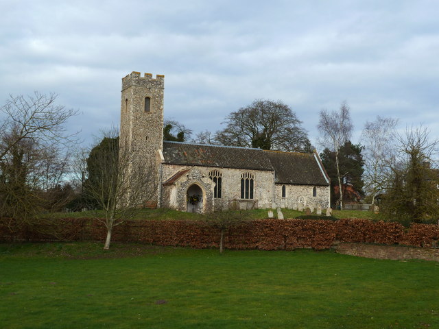
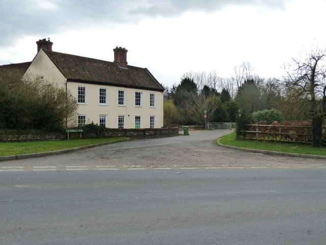
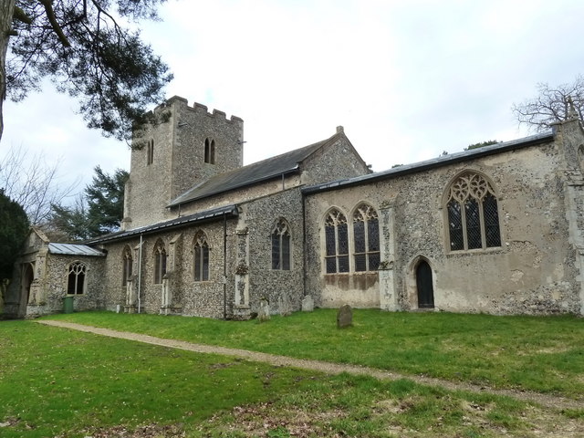
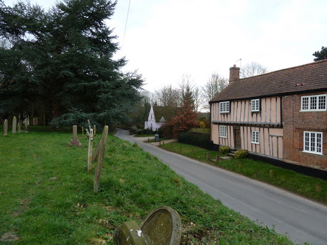
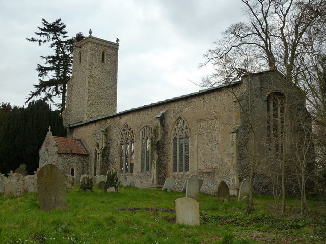
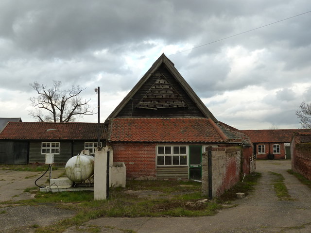
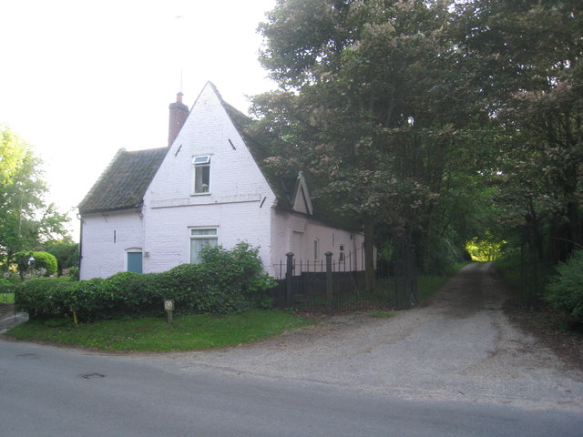
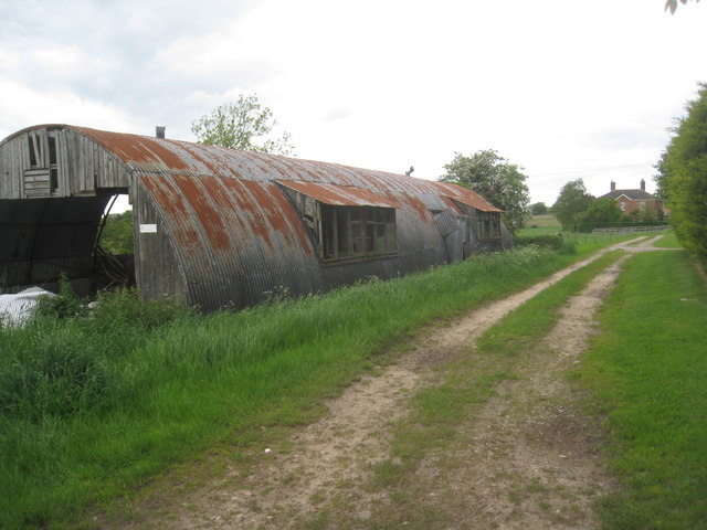
Alderford Common Images

Images are sourced within 2km of 52.720084/1.1516996 or Grid Reference TG1218. Thanks to Geograph Open Source API. All images are credited.

Attlebridge, St. Andrews Church: Southern aspect
Swannington: School Road
Attlebridge: The Old Barn
Swannington: Village sign
Attlebridge Village Sign
Swannington: Farm track
Old Milepost by the former A1067, Morton on the Hill parish Cast iron post by the UC road (was A1067), in parish of MORTON ON THE HILL (BROADLAND District), 100m North of No. 10 The Street, under hedge, on West side of road. Fakenham cast iron N-top, erected by the Norwich & Fakenham turnpike trust in the 19th century. Broken top.

Inscription reads:-
: FAKENHAM / 16 : : MORTON / 8 :

Milestone Society National ID: NO_NF08.
Old Milepost by the former A1067, Morton on the Hill parish
Cast iron post by the UC road (was A1067), in parish of MORTON ON THE HILL (BROADLAND District), 100m North of No. 10 The Street, under hedge, on West side of road. Fakenham cast iron N-top, erected by the Norwich & Fakenham turnpike trust in the 19th century. Broken top. Inscription reads:- : FAKENHAM / 16 : : MORTON / 8 : Milestone Society National ID: NO_NF08.
A1067 Fakenham Road over the Wensum at Attlebridge
St. Andrew's church, Attlebridge
Old Fakenham Road - leading to the footbridge
St. Margaret's church, Swannington
Houses as seen from the churchyard, Swannington
St, John the Baptist's church, Alderford
Dovecote at Church Farm, Alderford
Cottages by the entrance to Manor Farm. Swannington Now just one cottage.
Cottages by the entrance to Manor Farm. Swannington
Now just one cottage.
Nissen hut at the Woodlands Still in use for storage though getting rather dilapidated.
Nissen hut at the Woodlands
Still in use for storage though getting rather dilapidated.
Site -?remains - of Attlebridge station, 1993 View SW on A1067 road. The station had been on the ex-M&GN Joint line, Melton Constable (to right) - Norwich (City) line, which closed for passengers with the rest of the system from 2/3/59, but the section to Norwich City was retained for goods by means of a connection off the ex-GER Wroxham - County School line by the Themelthorpe Loop from 12/9/60 and lasted until 13/7/64. It is not obvious whether the houses had been connected with the railway.
Site -?remains - of Attlebridge station, 1993
View SW on A1067 road. The station had been on the ex-M&GN Joint line, Melton Constable (to right) - Norwich (City) line, which closed for passengers with the rest of the system from 2/3/59, but the section to Norwich City was retained for goods by means of a connection off the ex-GER Wroxham - County School line by the Themelthorpe Loop from 12/9/60 and lasted until 13/7/64. It is not obvious whether the houses had been connected with the railway.
Marriots Way - Taverham Photograph of a road bridge across Marriot's Way. It's a disused rail track, now a foot and cycle path that runs from Norwich to Reepham.
Marriots Way - Taverham
Photograph of a road bridge across Marriot's Way. It's a disused rail track, now a foot and cycle path that runs from Norwich to Reepham.
Show me another place!

Alderford Common is located at Grid Ref: TG1218 (Lat: 52.720084, Lng: 1.1516996)

Administrative County: Norfolk

District: Broadland

Police Authority: Norfolk

What 3 Words

///verdict.fewer.tarred. Near Cawston, Norfolk

Related Wikis

Alderford Common

Alderford Common is a 17.5-hectare (43-acre) biological Site of Special Scientific Interest north-west of Norwich in Norfolk.The common has a thin layer...

Broadland (UK Parliament constituency)

Broadland is a Norfolk constituency, which has been represented in the House of Commons of the UK Parliament since the 2019 general election by Jerome...

Attlebridge railway station

Attlebridge railway station is a closed station in Norfolk, England. It served the small village of Attlebridge. It was constructed by the Midland and...

Alderford

Alderford is a village and civil parish in the English county of Norfolk, about ten miles (16 km) north-west of Norwich. The name 'Alderford' derives from...

Swannington, Norfolk

Swannington is a village and civil parish in the English county of Norfolk, United Kingdom. The villages name means 'Farm/settlement connected with Swan...
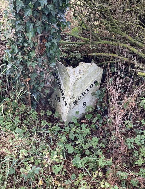
Morton on the Hill

Morton on the Hill is a small but scattered village and civil parish in the English county of Norfolk, about 8 miles (13 km) north-west of Norwich. The...
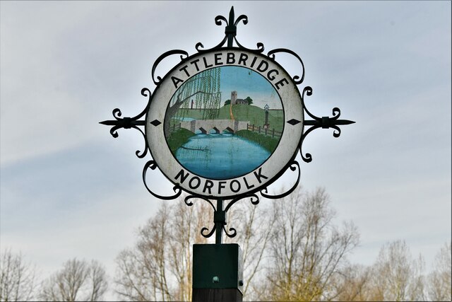
Attlebridge

Attlebridge is a village and civil parish in the English county of Norfolk. It is situated about 8 miles (13 km) north-west of Norwich, where the A1067...

Swannington Upgate Common

Swannington Upgate Common is a 20.5-hectare (51-acre) biological Site of Special Scientific Interest north-west of Norwich in Norfolk.This site has varied...

Nearby Amenities

Located within 500m of 52.720084,1.1516996
Barrier: kissing_gate
Bicycle: no
Foot: yes
Lat/Long: 52.7200806/1.1494074
Archaeological Site: tumulus
Historic: archaeological_site
Lat/Long: 52.7204825/1.1485648
Barrier: kissing_gate
Bicycle: no
Foot: yes
Lat/Long: 52.7201506/1.152636
Bench
Backrest: yes
Seats: 3
Lat/Long: 52.7199825/1.150674
Bench
Backrest: yes
Seats: 3
Lat/Long: 52.7203979/1.1518597
Barrier: kissing_gate
Bicycle: no
Foot: yes
Lat/Long: 52.719305/1.1519982
Barrier: kissing_gate
Bicycle: no
Foot: yes
Lat/Long: 52.720584/1.1508422
Post Box
FIXME: Update collection times
Collection Times: Mo-Fr 16:30; Sa 10:00
Operator: Royal Mail
Post Box Mounting: telegraph_pole
Post Box Type: lamp
Ref: NR9 963
Royal Cypher: GR
Royal Cypher Wikidata: Q33102273
Lat/Long: 52.7228568/1.1491203
Access: agricultural
Barrier: lift_gate
Note: Locked
Lat/Long: 52.7221326/1.1506194
Bench
Backrest: yes
Inscription: With Grateful Thanks to Canon Arthur Hawes for his Ministry in the Pilgrim Parishes from January 1976 to March 1992
Material: wood
Seats: 4
Lat/Long: 52.7177225/1.1535484
Give Way
Lat/Long: 52.7188098/1.1542387
Give Way
Lat/Long: 52.7184132/1.1541908
Give Way
Lat/Long: 52.7182298/1.1541618
Give Way
Lat/Long: 52.7182464/1.1543141
Lime Kiln
Description: Now protected for a bat colony roost.
Historic: ruins
Lat/Long: 52.7204621/1.15107
Board Type: nature
Information: board
Tourism: information
Lat/Long: 52.7221229/1.1505295
Power: pole
Transformer: distribution
Lat/Long: 52.7236077/1.1472331
Communication Mobile Phone: yes
Man Made: mast
Material: metal
Operator: O2-UK;Vodafone UK
Tower Construction: freestanding
Tower Type: communication
Lat/Long: 52.7178513/1.1544005
The data included in this document is from www.openstreetmap.org. The data is made available under ODbL.

Have you been to Alderford Common?

Leave your review of Alderford Common below (or comments, questions and feedback).