Alderholt
Settlement in Dorset
England
Alderholt
Alderholt is a small village located in the county of Dorset, England. Situated near the border with Hampshire, Alderholt lies approximately 19 kilometers (12 miles) northwest of the town of Ringwood and 30 kilometers (19 miles) east of the city of Dorchester. With a population of around 3,000 residents, it is a close-knit community that offers a peaceful and picturesque setting.
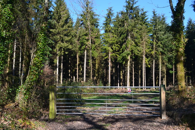
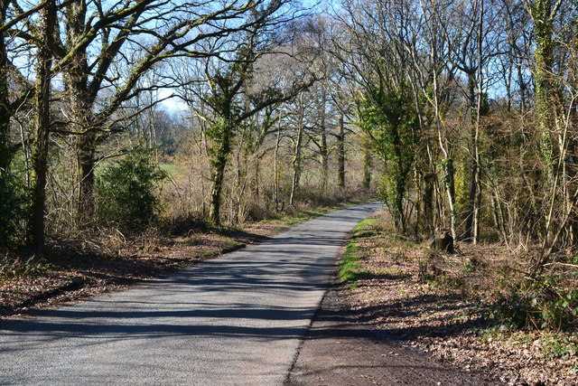
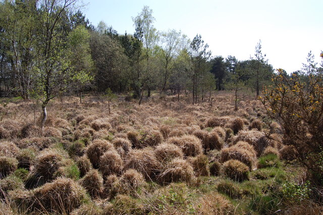
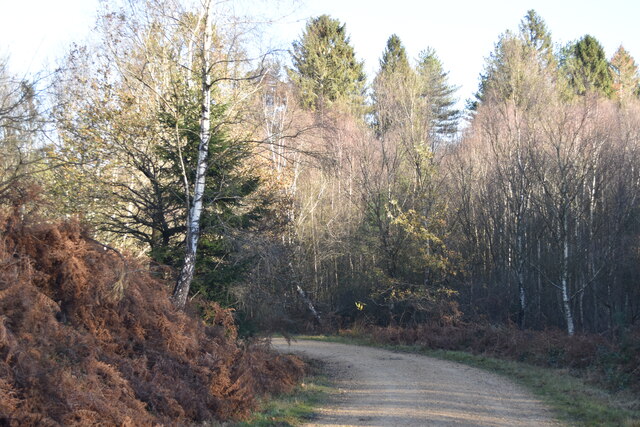
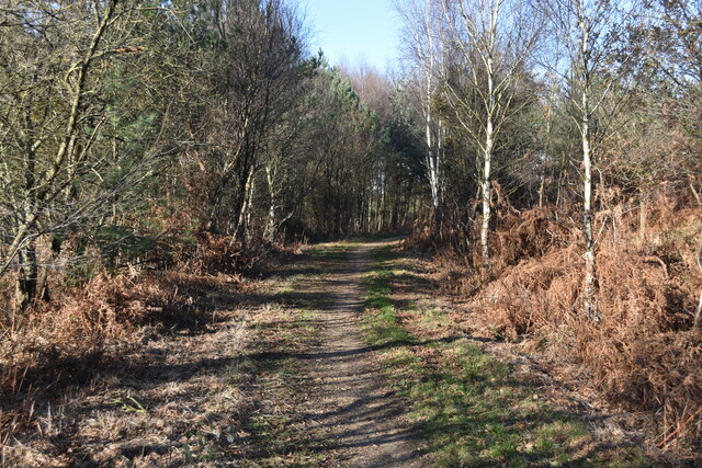
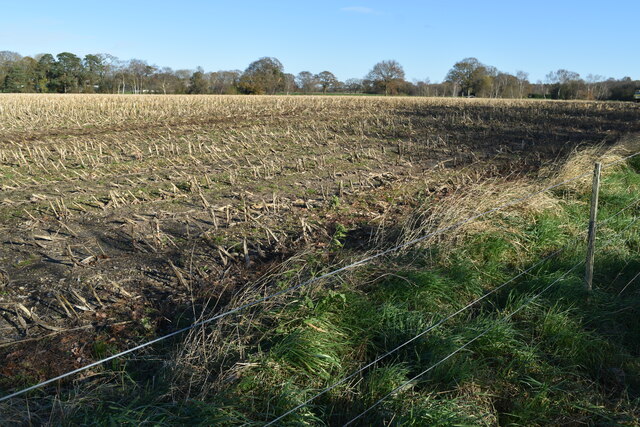
The village is surrounded by beautiful countryside, characterized by rolling hills, meadows, and woodlands. The River Allen flows through Alderholt, adding to its scenic appeal. The area is known for its proximity to Cranborne Chase, an Area of Outstanding Natural Beauty, which offers stunning landscapes and ample opportunities for outdoor activities such as walking, hiking, and cycling.
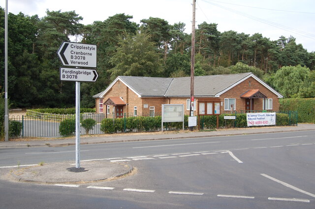
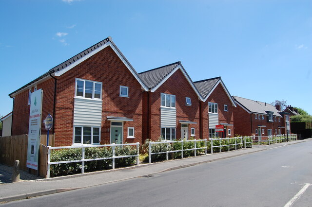
Alderholt is well-served by amenities and facilities, including a primary school, a village hall, a post office, a convenience store, and several pubs and restaurants. The village also has a strong sense of community spirit, with various local events and activities taking place throughout the year.
Transport links in Alderholt are convenient, with regular bus services connecting the village to nearby towns and villages. The A31 road, a major route in the area, is easily accessible, providing connections to larger cities such as Bournemouth and Southampton.
Overall, Alderholt is a tranquil and welcoming village, offering a pleasant rural lifestyle amidst the natural beauty of Dorset's countryside.
If you have any feedback on the listing, please let us know in the comments section below.
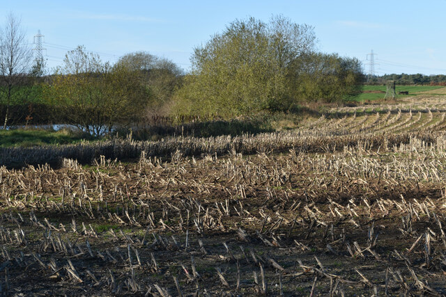
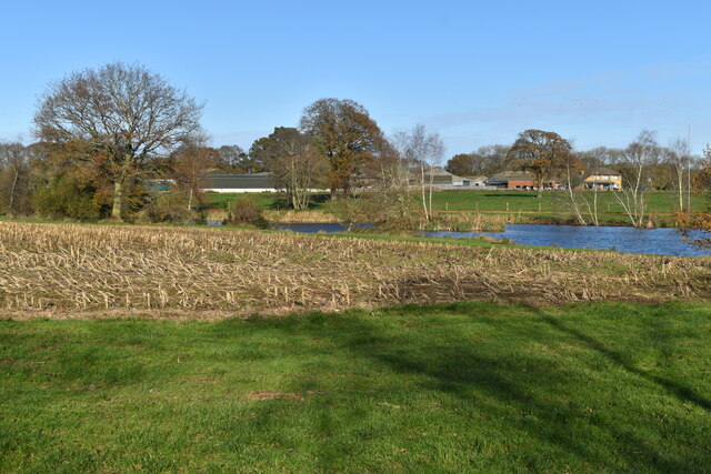
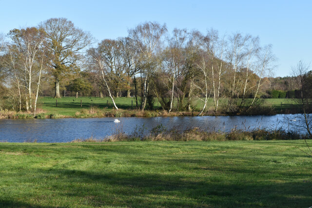
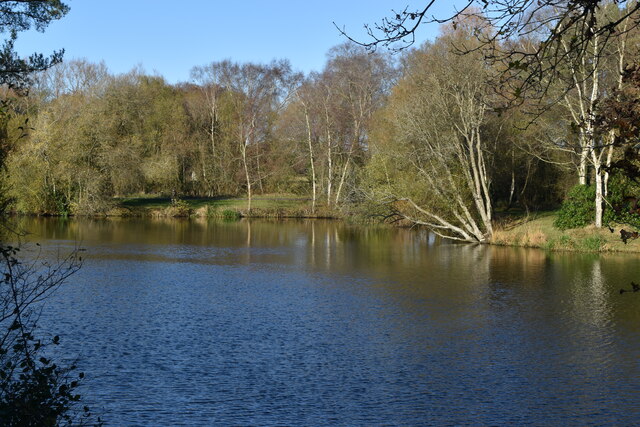
Alderholt Images
Images are sourced within 2km of 50.911566/-1.8377837 or Grid Reference SU1112. Thanks to Geograph Open Source API. All images are credited.


Alderholt is located at Grid Ref: SU1112 (Lat: 50.911566, Lng: -1.8377837)
Unitary Authority: Dorset
Police Authority: Dorset
What 3 Words
///waltzed.activity.speak. Near Alderholt, Dorset
Nearby Locations
Related Wikis
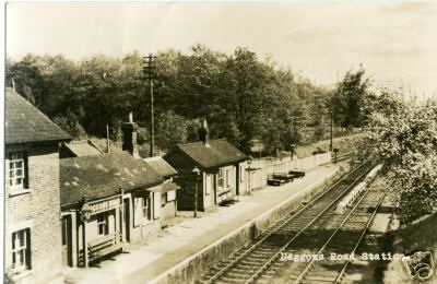
Daggons Road railway station
Daggons Road was a railway station serving the village of Alderholt, in Dorset, to the south west of Fordingbridge, in Hampshire. It was one of many casualties...

Alderholt
Alderholt is a large village and civil parish in east Dorset, England; situated 3 miles (4.8 km) west of Fordingbridge. The parish includes the hamlets...

Lower Daggons
Lower Daggons is a hamlet in the New Forest district of Hampshire, England. At the 2011 Census the Post Office affirmed the population was included in...
Broxhill
Bull Hill, Dorset, Daggons and Broxhill are adjoining hamlets (mainly of Alderholt village) notable for planted woodland and tree cultivation south of...

Cripplestyle
Cripplestyle is a hamlet in the civil parish of Alderholt in the county of Dorset, England. It lies close to the Dorset-Hampshire border. The nearest town...

Sandleheath
Sandleheath is a village and civil parish about 1.8 miles (2.9 km) west of Fordingbridge in the New Forest District of Hampshire, England. It has a...

Fordingbridge railway station
Fordingbridge was a railway station serving Fordingbridge, a small town in Hampshire. It was one of many casualties of the mass closure of British railway...
Lopshill
Lopshill is a hamlet in the New Forest district in Hampshire, England. It is in the civil parish of Damerham. It is about 4 miles (7 km) from the New...
Related Videos

How Affordable Is eBike Motor Repair | Behind The Scenes
The introduction of mid-drive eBike motors could possibly be the biggest step in eMTB history since its conception. Unfortunately ...

Railway Hotel Fordingbridge Gastronomic Journey - Stop #1 BEIJING
Railway Hotel Fordingbridge Gastronomic Journey - Stop #1 BEIJING Join us for a behind-the-scenes look at the first stop on The ...

New Forest Motorcycle Ride Complete
Welcome to our ride through the New Forest - until we ran out of battery on the Ricoh SC2 Camera! It gives you a great taste of ...

Peter Walks on Water by Mike Botto
Sermon from the 9th August 2020. Mike challenges us to believe that God believes in us!
Nearby Amenities
Located within 500m of 50.911566,-1.8377837Have you been to Alderholt?
Leave your review of Alderholt below (or comments, questions and feedback).