Alkham

Civil Parish in Kent Dover

England

Alkham

Lane through Lockeringe Wood Towards South Alkham.
Lane through Lockeringe Wood Credit: Robin Webster

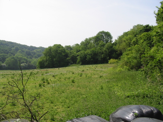
Alkham is a civil parish located in the district of Dover, Kent, England. Situated in the southeastern part of the county, the parish covers an area of approximately 8 square kilometers. Alkham is surrounded by picturesque countryside, with rolling hills and lush farmland creating a scenic backdrop.

The village of Alkham itself is small, with a population of around 600 residents. It is known for its charming and traditional English village atmosphere, with many historic buildings and cottages lining the streets. The parish church, St. Anthony of Padua, is a notable landmark and dates back to the 13th century. The church's architecture reflects a mix of Norman and Gothic styles.

Alkham is also home to several notable landmarks and attractions. The Alkham Valley Garden Centre is a popular destination for both locals and visitors, offering a wide range of plants, gardening supplies, and a cozy tea room. The nearby Alkham Valley Vineyard is known for its award-winning wines and offers tours and tastings.

The surrounding countryside provides ample opportunities for outdoor activities, such as hiking, cycling, and horseback riding. The White Cliffs of Dover, a renowned natural landmark, are also within easy reach from Alkham.

Overall, Alkham is a peaceful and idyllic village with a strong sense of community and a rich history. Its scenic location and proximity to both natural and cultural attractions make it an appealing destination for those seeking a rural retreat.

If you have any feedback on the listing, please let us know in the comments section below.
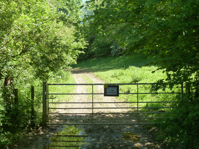
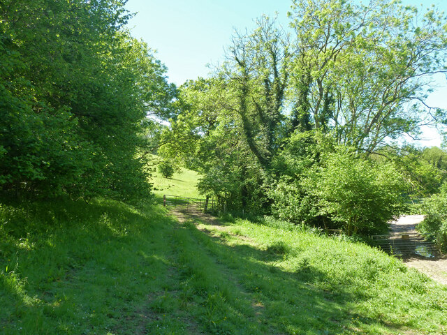
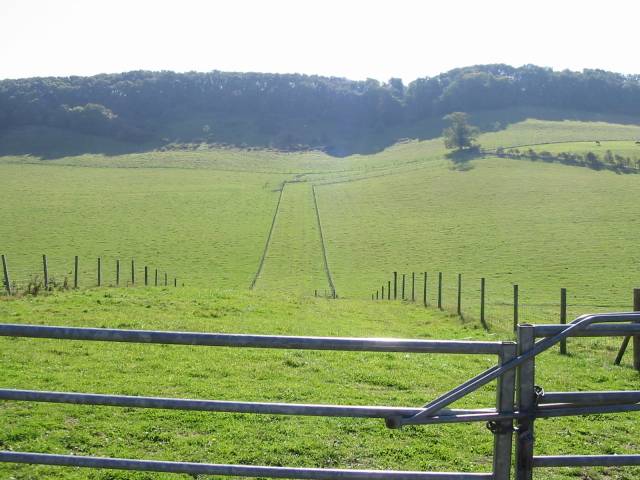
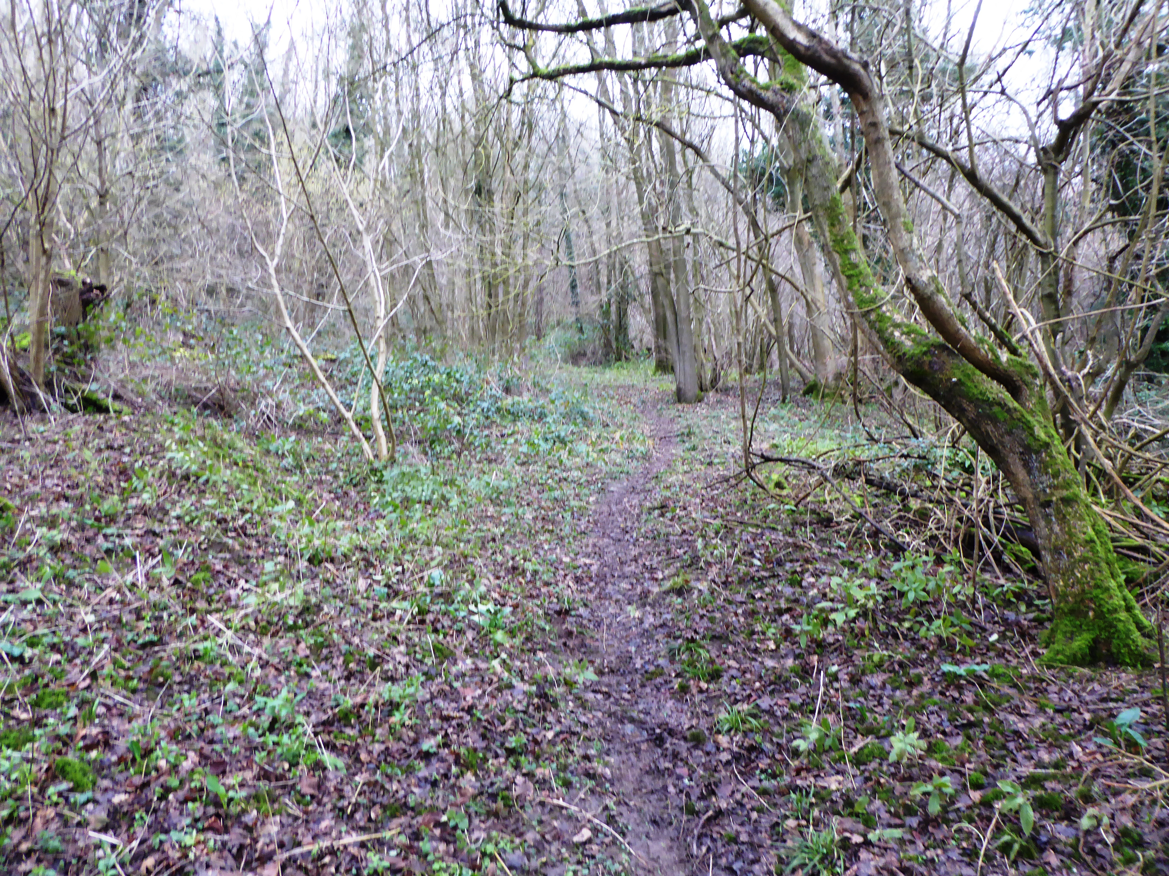
Alkham Images

Images are sourced within 2km of 51.134575/1.215389 or Grid Reference TR2542. Thanks to Geograph Open Source API. All images are credited.

Lane through Lockeringe Wood Towards South Alkham.
Lane through Lockeringe Wood
Towards South Alkham.
Lane by Lockeringe Wood Towards South Alkham.
Lane by Lockeringe Wood
Towards South Alkham.
Lockeringe Wood
Lockeringe Wood
Lockeringe Lane towards South Alkham
The Marquis, Alkham 'Restaurant, bar, rooms' rather than pub.
The Marquis, Alkham
'Restaurant, bar, rooms' rather than pub.
Slip Lane looking west From Alkham towards Swingfield Street.
Slip Lane looking west
From Alkham towards Swingfield Street.
Chalksole Green Lane west of Slip Lane junction Towards Swingfield Street.
Chalksole Green Lane west of Slip Lane junction
Towards Swingfield Street.
Slip Lane east of Chalksole Green Lane junction Towards Alkham.
Slip Lane east of Chalksole Green Lane junction
Towards Alkham.
Chalksole Green Lane east of Slip Lane junction Towards Chalksole and Ewell Minnis.
Chalksole Green Lane east of Slip Lane junction
Towards Chalksole and Ewell Minnis.
Chalksole Green Lane Looking west towards Swingfield Street.
Chalksole Green Lane
Looking west towards Swingfield Street.
Harvested field near Ellinge House It looks like it was rape.
Harvested field near Ellinge House
It looks like it was rape.
Corner of harvested field near Ellinge House It looks like it was rape.
Corner of harvested field near Ellinge House
It looks like it was rape.
View from Holloway Lane
Bottom near North Court Much further down near Lydden it is called Warren Bottom.
Bottom near North Court
Much further down near Lydden it is called Warren Bottom.
Start of public byway ER122 Alkham Gated, but not locked, as should be.
Start of public byway ER122 Alkham
Gated, but not locked, as should be.
Tracks and gates near the corner on Holloway Lane At the lower level, public byway ER122 passes through a gate to reach Holloway Lane. It is Alkham parish this side of the gate, Swingfield the other.  At the higher level public footpath ER151, Alkham, heads into the field.
Tracks and gates near the corner on Holloway Lane
At the lower level, public byway ER122 passes through a gate to reach Holloway Lane. It is Alkham parish this side of the gate, Swingfield the other. At the higher level public footpath ER151, Alkham, heads into the field.
Public byway ER122 Alkham Heading away from Holloway Lane.
Public byway ER122 Alkham
Heading away from Holloway Lane.
Buttercup field by North Court
Show me another place!

Alkham is located at Grid Ref: TR2542 (Lat: 51.134575, Lng: 1.215389)

Administrative County: Kent

District: Dover

Police Authority: Kent

What 3 Words

///surpasses.wipe.albatross. Near Capel le Ferne, Kent

Related Wikis

Nearby Amenities

Located within 500m of 51.134575,1.215389
Barrier: stile
Lat/Long: 51.1362684/1.2118045
Barrier: stile
Lat/Long: 51.1362704/1.2175069
Historic: memorial
Lat/Long: 51.135642/1.2220796
Post Box
Postal Code: CT15
Ref: CT15 92
Lat/Long: 51.1311115/1.2124308
Bus Stop
Newlyns Meadow
Flag: no
Naptan AtcoCode: 240099698
Naptan Bearing: NE
Naptan BusStopType: CUS
Naptan CommonName: Newlyns Meadow
Naptan Indicator: opp
Naptan Landmark: Newlyns Meadow
Naptan NaptanCode: kntgpwda
Naptan Street: Alkham Valley Road
Naptan Verified: no
Public Transport: platform
Ref: kntgpwda
Source: naptan_import
Source Date: 2018-02-15T10:05:00
Lat/Long: 51.1347368/1.2217008
Bus Stop
Newlyns Meadow
Flag: no
Naptan AtcoCode: 240099700
Naptan Bearing: SW
Naptan BusStopType: CUS
Naptan CommonName: Newlyns Meadow
Naptan Indicator: adj
Naptan Landmark: Newlyn Meadow
Naptan NaptanCode: kntgpwat
Naptan Street: Alkham Valley Road
Naptan Verified: no
Public Transport: platform
Ref: kntgpwat
Source: naptan_import
Source Date: 2018-02-15T10:08:00
Lat/Long: 51.1344959/1.2216268
Bus Stop
Meggett Lane
Bus: yes
Flag: no
Naptan AtcoCode: 240099754
Naptan Bearing: NE
Naptan BusStopType: CUS
Naptan CommonName: Meggett Lane
Naptan Indicator: opp
Naptan Landmark: Meggett Lane
Naptan NaptanCode: kntgpwgd
Naptan Street: Alkham Valley Road
Naptan Verified: no
Public Transport: platform
Source: naptan_import
Lat/Long: 51.1310925/1.2126092
Bus Stop
Meggett Lane
Bus: yes
Flag: no
Naptan AtcoCode: 240099756
Naptan Bearing: SW
Naptan BusStopType: CUS
Naptan CommonName: Meggett Lane
Naptan Indicator: adj
Naptan Landmark: Meggett Lane
Naptan NaptanCode: kntgtamw
Naptan Street: Alkham Valley Road
Naptan Verified: no
Public Transport: platform
Source: naptan_import
Lat/Long: 51.1311447/1.2133276
The data included in this document is from www.openstreetmap.org. The data is made available under ODbL.

Have you been to Alkham?

Leave your review of Alkham below (or comments, questions and feedback).