Alkham

Settlement in Kent Dover

England

Alkham

Lane by Lockeringe Wood Towards South Alkham.
Lane by Lockeringe Wood Credit: Robin Webster

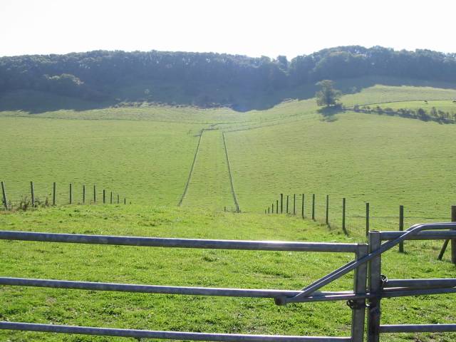
Alkham is a small village located in the county of Kent, in the southeastern part of England. Situated just a few miles away from the bustling port town of Dover, Alkham is known for its picturesque setting and quaint charm. The village is nestled amidst the rolling hills of the North Downs, providing residents and visitors with stunning panoramic views of the surrounding countryside.

With a population of around 400 people, Alkham maintains a peaceful and idyllic atmosphere. The village is home to a number of historic buildings, including the 12th-century St. Anthony's Church, which is known for its beautiful stained glass windows and intricate stonework. Additionally, the village has a village hall, a primary school, and a local pub, where residents can gather and socialize.

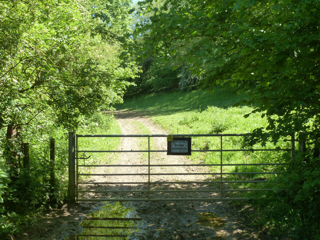
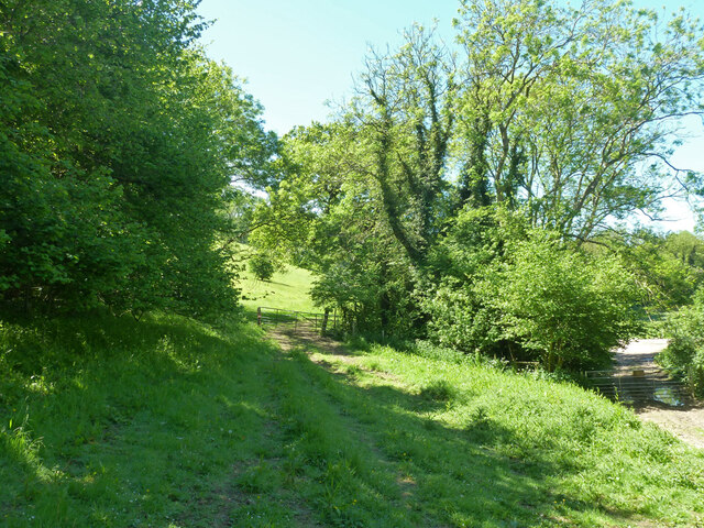
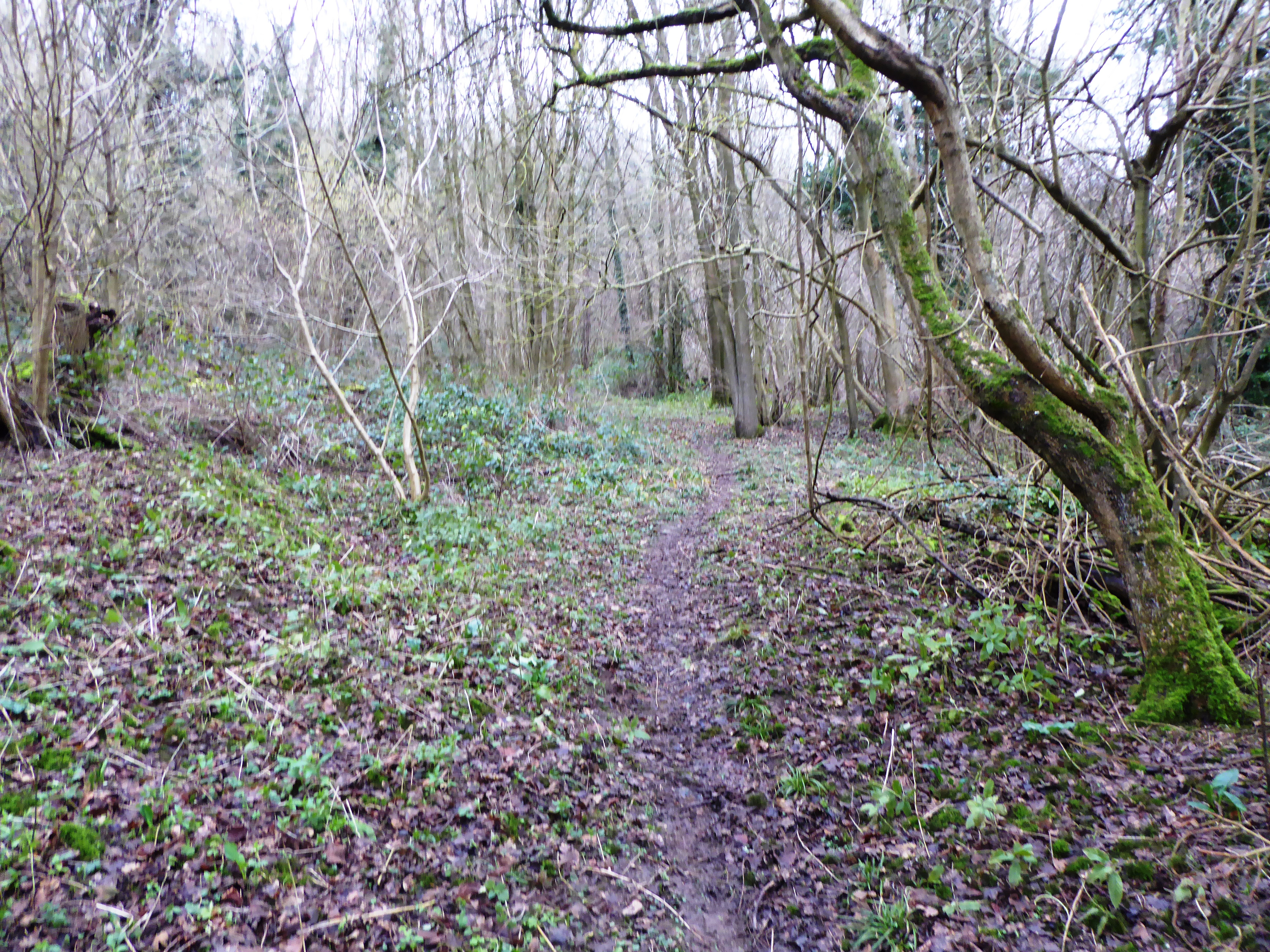
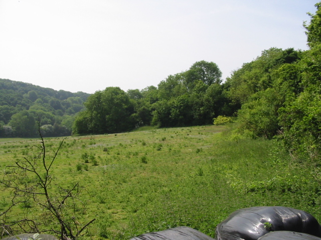
Alkham is also a popular destination for outdoor enthusiasts due to its proximity to the North Downs Way, a long-distance footpath that offers stunning walks and hikes through the scenic countryside. The village is surrounded by an abundance of natural beauty, with fields, meadows, and woodlands providing opportunities for exploration and relaxation.

Although small in size, Alkham is conveniently located near major transportation routes, including the A20 and the A2, making it easily accessible for visitors. The village's close proximity to Dover also offers convenient access to international travel through the Dover Ferry Port and the Channel Tunnel. Overall, Alkham is a charming village that offers a tranquil retreat for those seeking a peaceful escape in the heart of the Kentish countryside.

If you have any feedback on the listing, please let us know in the comments section below.

Alkham Images

Images are sourced within 2km of 51.135741/1.224006 or Grid Reference TR2542. Thanks to Geograph Open Source API. All images are credited.

Lane by Lockeringe Wood Towards South Alkham.
Lane by Lockeringe Wood
Towards South Alkham.
Lockeringe Wood
Lockeringe Wood
Lockeringe Lane towards South Alkham
The Marquis, Alkham 'Restaurant, bar, rooms' rather than pub.
The Marquis, Alkham
'Restaurant, bar, rooms' rather than pub.
Slip Lane looking west From Alkham towards Swingfield Street.
Slip Lane looking west
From Alkham towards Swingfield Street.
Chalksole Green Lane west of Slip Lane junction Towards Swingfield Street.
Chalksole Green Lane west of Slip Lane junction
Towards Swingfield Street.
Slip Lane east of Chalksole Green Lane junction Towards Alkham.
Slip Lane east of Chalksole Green Lane junction
Towards Alkham.
Chalksole Green Lane east of Slip Lane junction Towards Chalksole and Ewell Minnis.
Chalksole Green Lane east of Slip Lane junction
Towards Chalksole and Ewell Minnis.
Chalksole Green Lane Looking west towards Swingfield Street.
Chalksole Green Lane
Looking west towards Swingfield Street.
Harvested field near Ellinge House It looks like it was rape.
Harvested field near Ellinge House
It looks like it was rape.
Corner of harvested field near Ellinge House It looks like it was rape.
Corner of harvested field near Ellinge House
It looks like it was rape.
Bottom near North Court Much further down near Lydden it is called Warren Bottom.
Bottom near North Court
Much further down near Lydden it is called Warren Bottom.
Start of public byway ER122 Alkham Gated, but not locked, as should be.
Start of public byway ER122 Alkham
Gated, but not locked, as should be.
Tracks and gates near the corner on Holloway Lane At the lower level, public byway ER122 passes through a gate to reach Holloway Lane. It is Alkham parish this side of the gate, Swingfield the other.  At the higher level public footpath ER151, Alkham, heads into the field.
Tracks and gates near the corner on Holloway Lane
At the lower level, public byway ER122 passes through a gate to reach Holloway Lane. It is Alkham parish this side of the gate, Swingfield the other. At the higher level public footpath ER151, Alkham, heads into the field.
Public byway ER122 Alkham Heading away from Holloway Lane.
Public byway ER122 Alkham
Heading away from Holloway Lane.
Grassy bank above byway ER122 Alkham
Grassy bank above Holloway Lane
Construction work at Lower Standen Pumping Station, Lower Standen, Alkham Valley Road Planning permission has been granted by Dover District Council under application number DOV/13/00606 for the “erection of single storey building for new pumping station; potable water storage tank; GRP electrical transformer kiosk; surge vessel; hard-standing; alterations to access; temporary site compound and temporary access for construction traffic”.
Construction work at Lower Standen Pumping Station, Lower Standen, Alkham Valley Road
Planning permission has been granted by Dover District Council under application number DOV/13/00606 for the “erection of single storey building for new pumping station; potable water storage tank; GRP electrical transformer kiosk; surge vessel; hard-standing; alterations to access; temporary site compound and temporary access for construction traffic”.
Show me another place!

Alkham is located at Grid Ref: TR2542 (Lat: 51.135741, Lng: 1.224006)

Administrative County: Kent

District: Dover

Police Authority: Kent

What 3 Words

///removing.suitable.paddlers. Near Capel le Ferne, Kent

Related Wikis

Alkham

Alkham is a village and civil parish in the Dover district of Kent, England, about five miles west of Dover. Within the parish are the settlements of Chalksole...

Sladden Wood

Sladden Wood is a 7-hectare (17-acre) nature reserve north of Alkham in Kent. It is managed by the Kent Wildlife Trust.The main trees in this wood are...

Alkham Valley

The Alkham Valley is in the Kent Downs (the eastern part of the North Downs), an Area of Outstanding Natural Beauty, in South East Kent, England. The valley...

Ewell Minnis

Ewell Minnis is a village near Dover in Kent, England. The population is included in the civil parish of Alkham. See Stelling Minnis for information on...

Hougham Without

Hougham Without is a civil parish between Dover and Folkestone in southeast England. The main settlements are the villages of Church Hougham and West Hougham...

Alkham, Lydden and Swingfield Woods

Alkham, Lydden and Swingfield Woods is a 228.3-hectare (564-acre) biological Site of Special Scientific Interest north-west of Dover in Kent. Alkham Valley...

St. Radegund's Abbey

St. Radegund's Abbey at Bradsole was a medieval monastic house in the parish of Hougham Without near Dover in southeast England. It was dedicated to Radegund...

Drellingore

Drellingore is a village in South East Kent, England. It lies in the Alkham Valley, an area of outstanding natural beauty between Folkestone and Dover...

Related Videos

Walking to Temple Ewell in Dover UK

28mins and 28sec the video has been corrupted I do apologise.

A Nice walk with @JacksinUk & @nimmiemilo - 09-02-2023

Welcome to a NEW video and out and about again this time at Temple Ewell which is a village just out side of Dover.. we walked a ...

A Photography Walkabout

A Photography Walkabout #photography #landscapephotography #handheldphotography A short walkabout with my camera, ...

The simple pleasures of a walk in the countryside. Lovely!

BMcreativedigital #getoutside #walk #walking #birthday #habits #thinkingtime #steps #slimdown #toneup #mood #takenotice ...

Nearby Amenities

Located within 500m of 51.135741,1.224006
Alkham
Place: village
Population: 730
Source: npemap.org.uk
Wikidata: Q578630
Lat/Long: 51.1357404/1.2236926
Barrier: kissing_gate
Lat/Long: 51.1314501/1.2252335
Barrier: stile
Lat/Long: 51.1362704/1.2175069
Barrier: kissing_gate
Lat/Long: 51.1361728/1.2221871
Barrier: kissing_gate
Lat/Long: 51.1361832/1.2231032
Barrier: kissing_gate
Lat/Long: 51.136601/1.2235901
Barrier: stile
Lat/Long: 51.1377459/1.2213156
Barrier: kissing_gate
Lat/Long: 51.1371369/1.2220156
Barrier: kissing_gate
Lat/Long: 51.1363533/1.2228584
Post Box
Brand: Royal Mail
Brand Wikidata: Q638098
Collection Times: Mo-Fr 16:15; Sa 10:00
Operator: Royal Mail
Operator Wikidata: Q638098
Post Box Mounting: wall
Post Box Type: wall
Postal Code: CT15
Ref: CT15 53
Royal Cypher: GR
Royal Cypher Wikidata: Q33102273
Lat/Long: 51.1359782/1.2239093
Historic: memorial
Lat/Long: 51.135642/1.2220796
Bus Stop
Newlyns Meadow
Flag: no
Naptan AtcoCode: 240099698
Naptan Bearing: NE
Naptan BusStopType: CUS
Naptan CommonName: Newlyns Meadow
Naptan Indicator: opp
Naptan Landmark: Newlyns Meadow
Naptan NaptanCode: kntgpwda
Naptan Street: Alkham Valley Road
Naptan Verified: no
Public Transport: platform
Ref: kntgpwda
Source: naptan_import
Source Date: 2018-02-15T10:05:00
Lat/Long: 51.1347368/1.2217008
Bus Stop
Newlyns Meadow
Flag: no
Naptan AtcoCode: 240099700
Naptan Bearing: SW
Naptan BusStopType: CUS
Naptan CommonName: Newlyns Meadow
Naptan Indicator: adj
Naptan Landmark: Newlyn Meadow
Naptan NaptanCode: kntgpwat
Naptan Street: Alkham Valley Road
Naptan Verified: no
Public Transport: platform
Ref: kntgpwat
Source: naptan_import
Source Date: 2018-02-15T10:08:00
Lat/Long: 51.1344959/1.2216268
Bus Stop
The Marquis
Flag: no
Naptan AtcoCode: 240099702
Naptan Bearing: E
Naptan BusStopType: CUS
Naptan CommonName: The Marquis
Naptan Indicator: adj
Naptan Landmark: The Marquis
Naptan NaptanCode: kntgpwpm
Naptan Street: Alkham Valley Road
Naptan Verified: no
Public Transport: platform
Ref: kntgpwpm
Source: naptan_import
Source Date: 2018-02-15T10:13:00
Lat/Long: 51.135972/1.2242031
Bus Stop
The Marquis
Bus: yes
Naptan AtcoCode: 2400A031380A
Naptan Bearing: W
Naptan BusStopType: MKD
Naptan CommonName: The Marquis
Naptan Indicator: opp
Naptan Landmark: The Marquis
Naptan NaptanCode: kntdjgjg
Naptan Street: Alkham Valley Road
Naptan Verified: no
Public Transport: platform
Ref: kntdjgjg
Source: naptan_import
Source Date: 2018-02-15T10:11:00
Lat/Long: 51.1358276/1.2242216
Townhall
Alkham Village Hall
Lat/Long: 51.1349651/1.2236822
Turning Circle
Source: Bing
Lat/Long: 51.1350382/1.2268928
The Marquis at Alkham
Addr County: Kent
Addr Postcode: CT15 7DF
Addr Street: Alkham Valley Road
Addr Village: Alkham
Fhrs Id: 1152252
Phone: +44 1304 873410
Tourism: hotel
Website: https://www.themarquisatalkham.co.uk/
Lat/Long: 51.135461/1.2233274
Generator Method: photovoltaic
Generator Output Electricity: yes
Generator Source: solar
Generator Type: solar_photovoltaic_panel
Location: roof
Power: generator
Lat/Long: 51.1363597/1.2268994
Generator Method: photovoltaic
Generator Output Electricity: yes
Generator Source: solar
Generator Type: solar_photovoltaic_panel
Location: roof
Power: generator
Lat/Long: 51.136029/1.2257517
Power: pole
Lat/Long: 51.1324227/1.2276472
The data included in this document is from www.openstreetmap.org. The data is made available under ODbL.

Have you been to Alkham?

Leave your review of Alkham below (or comments, questions and feedback).