Slip Wood
Wood, Forest in Kent Dover
England
Slip Wood

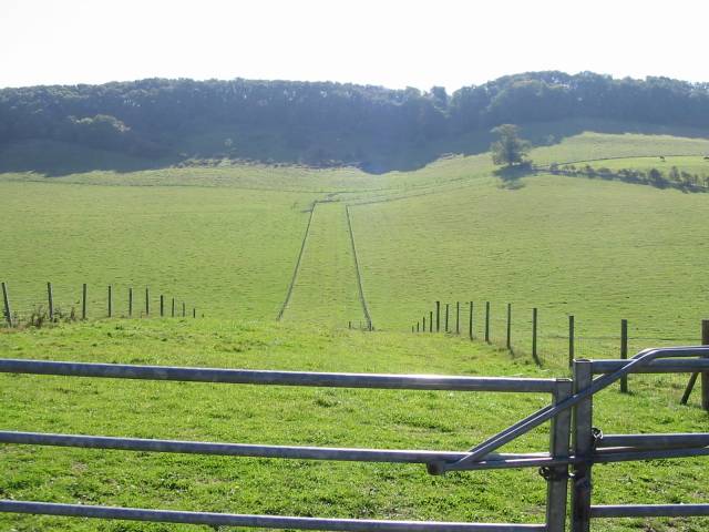
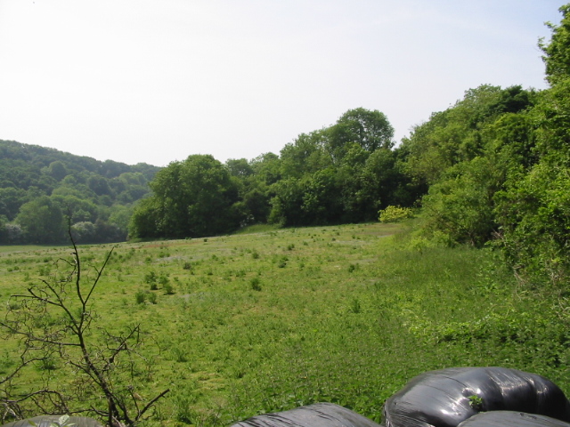
Slip Wood, located in the county of Kent, England, is a picturesque forest renowned for its natural beauty and diverse ecosystem. Spanning over 500 acres, this woodland area is a haven for nature enthusiasts and outdoor adventurers alike. The wood is nestled within the heart of the Kent Downs, a designated Area of Outstanding Natural Beauty.
The forest boasts a rich history, with evidence of human habitation dating back thousands of years. It is believed that Slip Wood has been continuously wooded since at least the medieval period, making it a site of historical importance. Today, it is managed by a local conservation organization, ensuring the preservation of its unique flora and fauna.
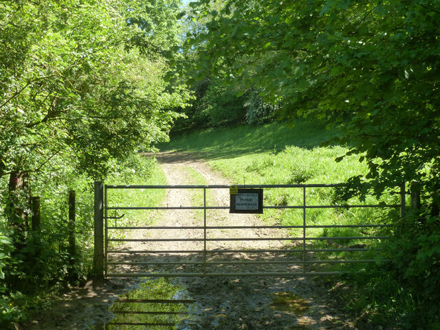
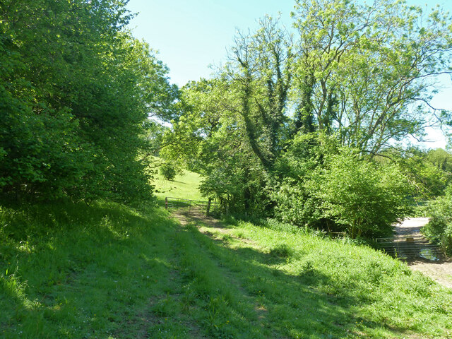
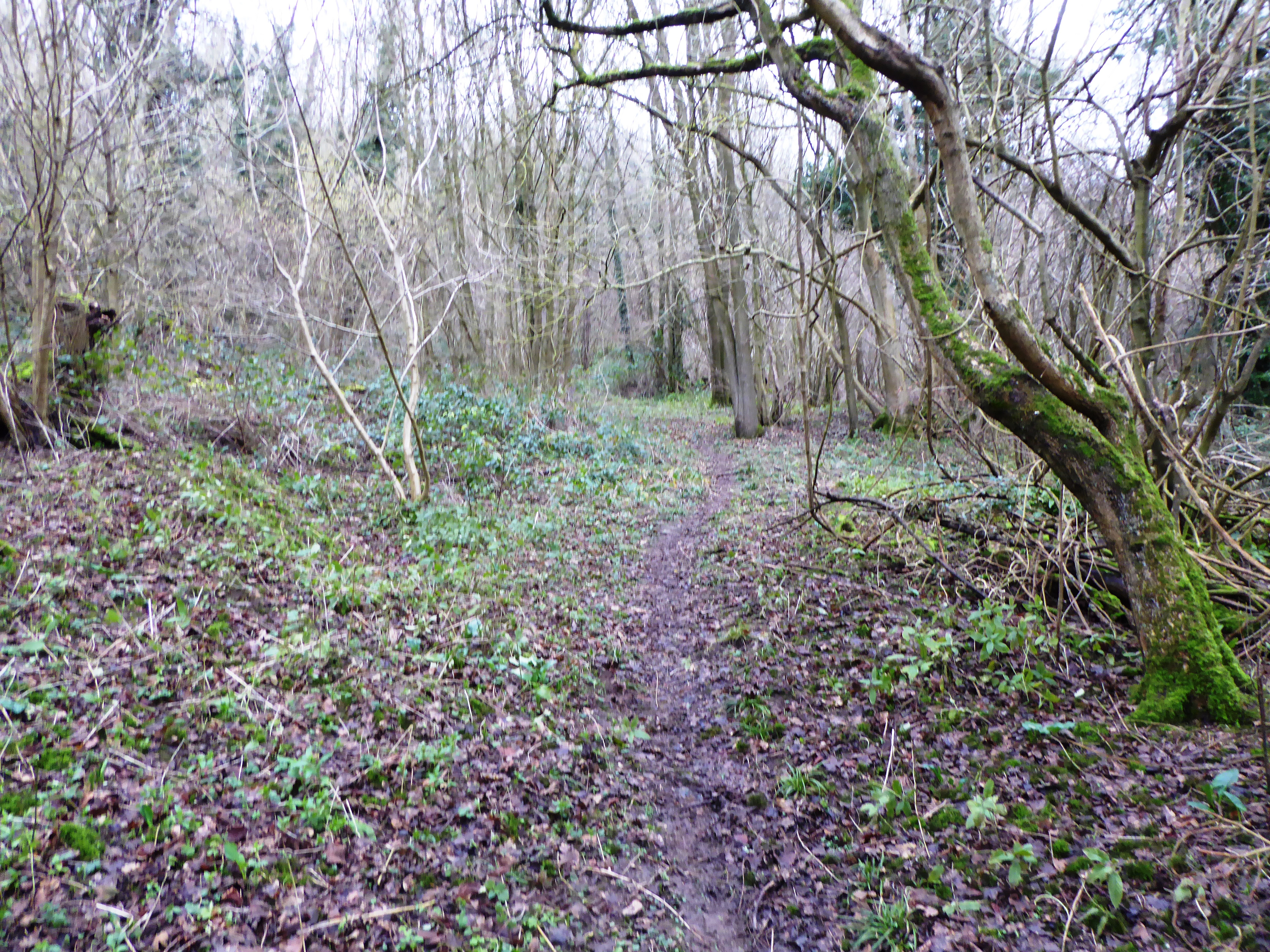
Visitors to Slip Wood are greeted by a network of well-maintained walking trails, allowing them to explore the forest's enchanting surroundings at their own pace. The diverse tree species found within the wood, including oak, beech, and ash, provide a lush canopy that offers shade and shelter to an array of wildlife.
The forest is home to a variety of bird species, such as woodpeckers, nightingales, and tawny owls, making it a popular destination for birdwatchers. Additionally, the wood's diverse undergrowth supports a thriving population of small mammals, including foxes, rabbits, and squirrels.
Slip Wood offers a tranquil escape from the hustle and bustle of everyday life. Whether visitors seek a peaceful stroll through nature, a spot for a picnic, or a chance to observe wildlife in its natural habitat, Slip Wood provides an idyllic setting that caters to all.
If you have any feedback on the listing, please let us know in the comments section below.
Slip Wood Images
Images are sourced within 2km of 51.140202/1.2152325 or Grid Reference TR2542. Thanks to Geograph Open Source API. All images are credited.


Slip Wood is located at Grid Ref: TR2542 (Lat: 51.140202, Lng: 1.2152325)
Administrative County: Kent
District: Dover
Police Authority: Kent
What 3 Words
///film.wheat.frames. Near Capel le Ferne, Kent
Nearby Locations
Related Wikis
Sladden Wood
Sladden Wood is a 7-hectare (17-acre) nature reserve north of Alkham in Kent. It is managed by the Kent Wildlife Trust.The main trees in this wood are...

Alkham
Alkham is a village and civil parish in the Dover district of Kent, England, about five miles west of Dover. Within the parish are the settlements of Chalksole...
Alkham Valley
The Alkham Valley is in the Kent Downs (the eastern part of the North Downs), an Area of Outstanding Natural Beauty, in South East Kent, England. The valley...
Alkham, Lydden and Swingfield Woods
Alkham, Lydden and Swingfield Woods is a 228.3-hectare (564-acre) biological Site of Special Scientific Interest north-west of Dover in Kent. Alkham Valley...

Ewell Minnis
Ewell Minnis is a village near Dover in Kent, England. The population is included in the civil parish of Alkham. See Stelling Minnis for information on...

St Peter's Church, Swingfield
St Peter's Church is a redundant Anglican church in the village of Swingfield, some 3 miles (5 km) northeast of Hawkinge, Kent, England. It is recorded...

Swingfield
Swingfield is a village and civil parish in the district of Folkestone and Hythe in Kent, England. The parish includes the settlements of Densole on the...

Hougham Without
Hougham Without is a civil parish between Dover and Folkestone in southeast England. The main settlements are the villages of Church Hougham and West Hougham...
Nearby Amenities
Located within 500m of 51.140202,1.2152325Have you been to Slip Wood?
Leave your review of Slip Wood below (or comments, questions and feedback).