Valley Belt

Wood, Forest in Norfolk South Norfolk

England

Valley Belt

Neolithic polished flint axe The axe, which measures 135mm x 60mm and about 6,000 years old, was found close to this spot in 1977.
The general location can be seen here <a title="https://www.geograph.org.uk/photo/6946224" href="https://www.geograph.org.uk/photo/6946224">Link</a>
Neolithic polished flint axe Credit: Adrian S Pye

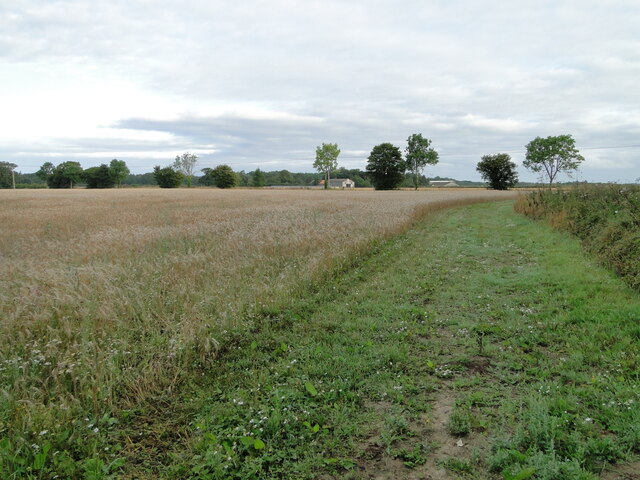
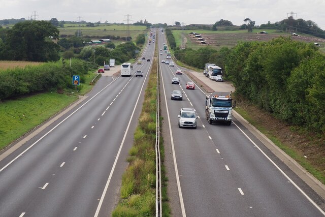
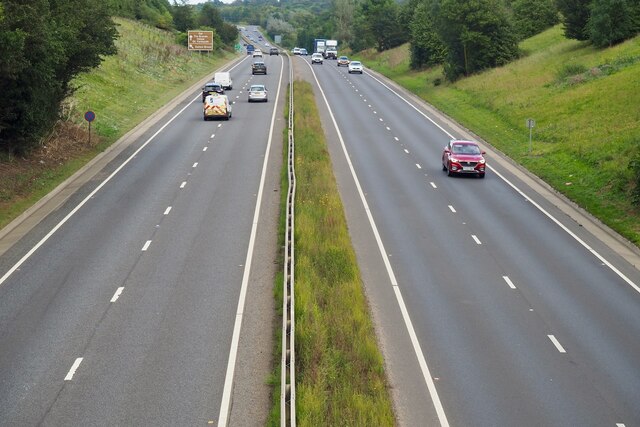
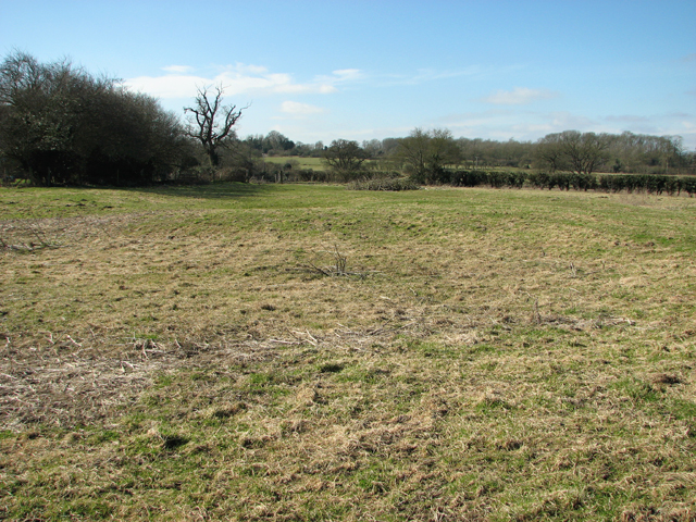
Valley Belt, Norfolk (Wood, Forest) is a picturesque and vibrant area located in Norfolk County, England. It is known for its stunning natural beauty and abundance of woodlands and forests. The region is situated in the eastern part of England and is surrounded by lush greenery and rolling hills.

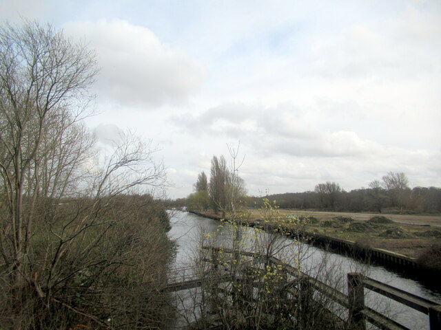
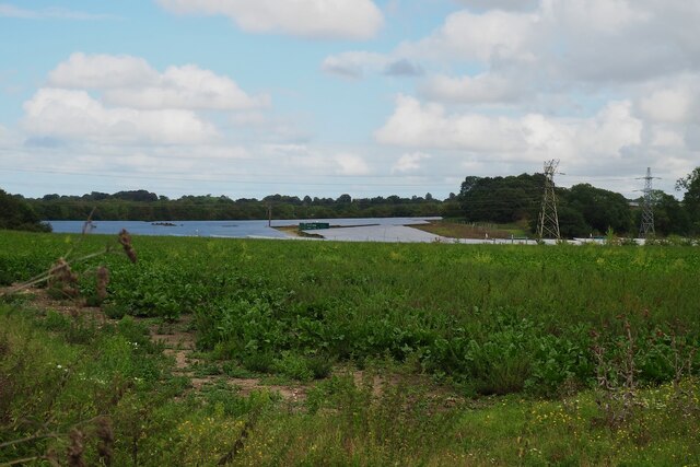
Valley Belt is home to a diverse range of flora and fauna, making it a haven for nature enthusiasts and wildlife lovers. The woodlands and forests are teeming with ancient trees, including oak, beech, and pine, which provide a habitat for various species of birds, mammals, and insects. The area is also known for its colorful wildflowers that bloom during the spring and summer months.

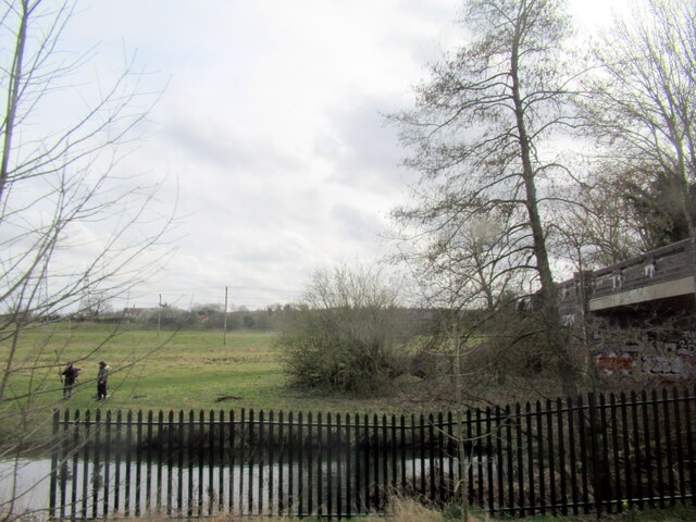
The peaceful and serene atmosphere of Valley Belt makes it an ideal destination for those seeking tranquility and relaxation. The area offers numerous walking and hiking trails that allow visitors to explore its natural wonders at their own pace. Whether it's a leisurely stroll through the woods or a more adventurous hike up the hills, there is something for everyone to enjoy.

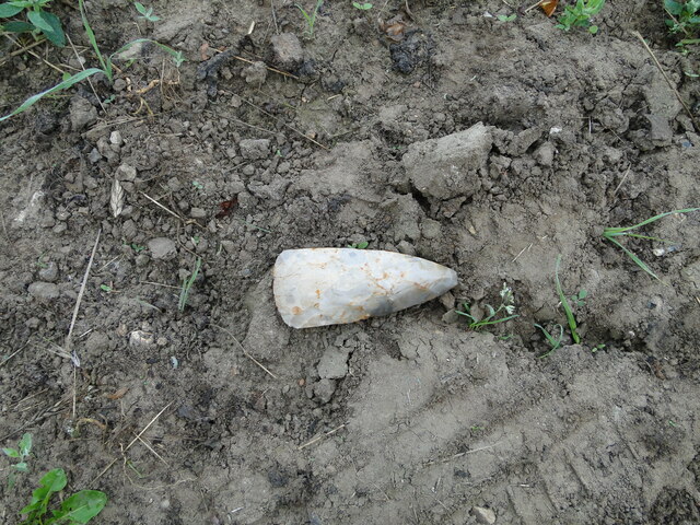
In addition to its natural beauty, Valley Belt is also steeped in history. The region boasts several historic sites and landmarks, including ancient burial mounds and remnants of Roman settlements. These historical attractions offer visitors a glimpse into the area's rich past and provide insight into the lives of its early inhabitants.

With its breathtaking landscapes, diverse wildlife, and rich history, Valley Belt, Norfolk (Wood, Forest) is a true gem of Norfolk County. Whether you are a nature lover, history buff, or simply seeking a peaceful retreat, this picturesque area has something for everyone to enjoy.

If you have any feedback on the listing, please let us know in the comments section below.

Valley Belt Images

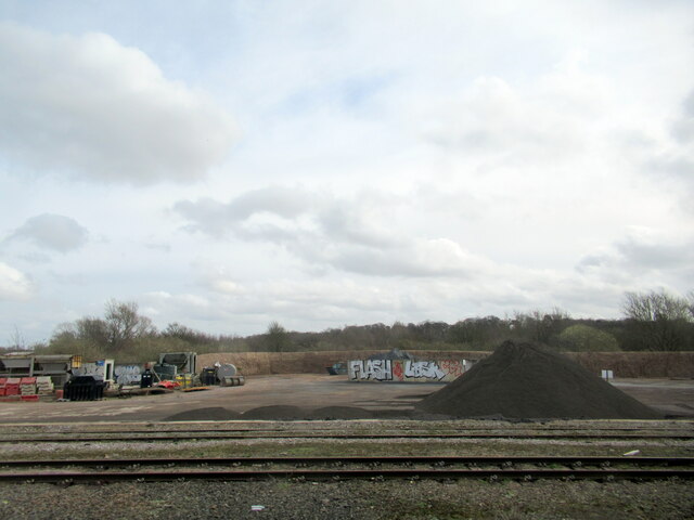
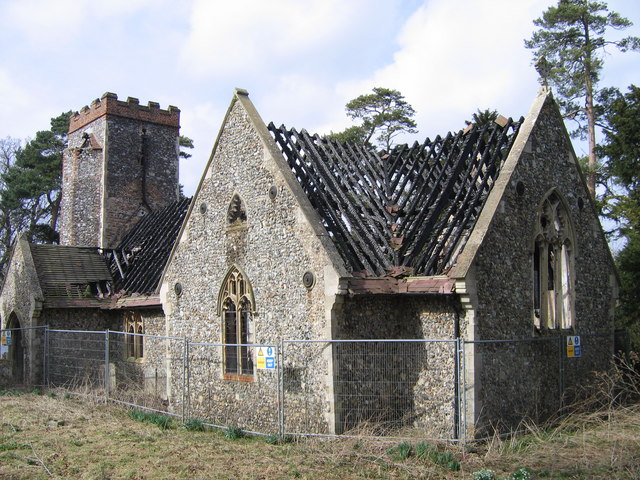
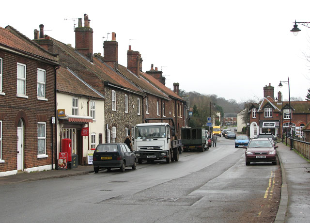
Images are sourced within 2km of 52.602781/1.3212019 or Grid Reference TG2405. Thanks to Geograph Open Source API. All images are credited.

Neolithic polished flint axe The axe, which measures 135mm x 60mm and about 6,000 years old, was found close to this spot in 1977.
The general location can be seen here <a title="https://www.geograph.org.uk/photo/6946224" href="https://www.geograph.org.uk/photo/6946224">Link</a>
Neolithic polished flint axe
The axe, which measures 135mm x 60mm and about 6,000 years old, was found close to this spot in 1977. The general location can be seen here Link
Field headland A polished neolithic flint axe was found in this field in 1977 <a href="https://www.geograph.org.uk/photo/6946221">TG2605 : Neolithic polished flint axe</a>
Field headland
A polished neolithic flint axe was found in this field in 1977 TG2605 : Neolithic polished flint axe
Stoke Road bridge over the River Tas, Norwich
Tarmac Trowse Asphalt Plant, Norwich
Stock of Asphalt at Tarmac Trowse, Norwich
The River Yare from Trowse bridge
The B1332 with information sign
The B1332 junction with the A146 approaching Norwich
The A146 joining the A47 at Norwich
The A47 west, 31 miles to Swaffham
Jaguar Jet at Entrance to Norfolk Archive Centre Jaguar GR1 XW563 jet at entrance to Archive. See also <a href="https://www.geograph.org.uk/photo/4166170">TG2307 : The Spirit of Coltishall</a>.
Jaguar Jet at Entrance to Norfolk Archive Centre
Jaguar GR1 XW563 jet at entrance to Archive. See also TG2307 : The Spirit of Coltishall.
Lodge and gates, Trowse Newton North Lodge, former entrance to Whitlingham Hall (<a href="https://www.geograph.org.uk/photo/4769135">TG2506 : Crown Point Hall</a>). By George Devey, c1864.
Lodge and gates, Trowse Newton
North Lodge, former entrance to Whitlingham Hall (TG2506 : Crown Point Hall). By George Devey, c1864.
It is an ex-bus stop On the B1332, Bungay Road.
It is an ex-bus stop
On the B1332, Bungay Road.
The A47 Looking south west from Stoke Road.
The A47
Looking south west from Stoke Road.
The A47 Looking north east from Stoke Road.
The A47
Looking north east from Stoke Road.
Solar Farm South of Trowse Newton
Solar Farm
South of Trowse Newton
Substation and pylons
Stoke Road bridge over the River Tas and railway Why cross one obstacle when you can cross two!
Stoke Road bridge over the River Tas and railway
Why cross one obstacle when you can cross two!
Show me another place!

Valley Belt is located at Grid Ref: TG2405 (Lat: 52.602781, Lng: 1.3212019)

Administrative County: Norfolk

District: South Norfolk

Police Authority: Norfolk

What 3 Words

///loss.voting.bliss. Near Thorpe Hamlet, Norfolk

Nearby Locations

Boundary Belt Valley Belt

Related Wikis

Bixley

Bixley is a former civil parish now in the parish of Caistor St Edmund and Bixley, in the South Norfolk district of Norfolk, England. According to the...

Trowse

Trowse (pronounced by those from Norwich and by elderly residents of the village), also called Trowse with Newton, is a village in South Norfolk which...

River Tas

The River Tas is a river which flows northwards through South Norfolk in England - towards Norwich. The area is named the Tas Valley after the river. The...

Bixley medieval settlement

Bixley medieval settlement is a deserted medieval village in Norfolk, England, about 2 miles (3.2 km) south-east of Norwich. It is a Scheduled Monument...

Nearby Amenities

Located within 500m of 52.602781,1.3212019
Power: tower
Ref: PPA 3
Lat/Long: 52.604127/1.31417
Power: tower
Ref: PPA 5
Lat/Long: 52.601537/1.320527
Power: tower
Ref: PM 69
Lat/Long: 52.601307/1.320226
Power: tower
Ref: PPA 4
Lat/Long: 52.602832/1.31737
Power: tower
Ref: PM 70
Lat/Long: 52.602669/1.31693
Power: tower
Ref: PPA 6
Lat/Long: 52.600211/1.32382
Power: tower
Ref: PM 68
Lat/Long: 52.600039/1.323359
Material: wood
Power: pole
Lat/Long: 52.604703/1.317399
Power: pole
Lat/Long: 52.604927/1.31657
Power: pole
Lat/Long: 52.605252/1.315369
Power: pole
Lat/Long: 52.604343/1.318746
Power: pole
Lat/Long: 52.603834/1.319749
Power: pole
Lat/Long: 52.603306/1.320755
Power: pole
Lat/Long: 52.602791/1.321852
Power: pole
Lat/Long: 52.602074/1.323308
Power: pole
Lat/Long: 52.601281/1.324944
Power: pole
Lat/Long: 52.60074/1.326068
Power: pole
Lat/Long: 52.600188/1.327229
Motorway Junction
Trowse Interchange
Lat/Long: 52.6040466/1.3153329
Traffic Signals
Lat/Long: 52.6069425/1.3227919
Traffic Signals
Lat/Long: 52.6070003/1.3229205
Traffic Signals
Lat/Long: 52.6069799/1.323435
Traffic Signals
Lat/Long: 52.606698/1.3232131
Traffic Signals
Lat/Long: 52.6069946/1.3232672
Street Lamp
Lat/Long: 52.6039139/1.3282842
Give Way
Lat/Long: 52.6065795/1.3229211
The data included in this document is from www.openstreetmap.org. The data is made available under ODbL.

Have you been to Valley Belt?

Leave your review of Valley Belt below (or comments, questions and feedback).