Boundary Belt
Wood, Forest in Norfolk South Norfolk
England
Boundary Belt
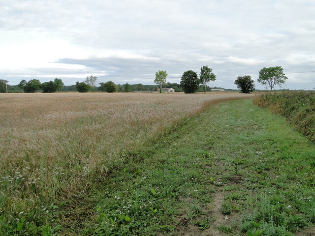
Boundary Belt is a wooded area located in the county of Norfolk, England. This forested area is known for its picturesque landscapes, diverse flora and fauna, and tranquil surroundings. The boundary belt is a designated conservation area, with efforts being made to protect and preserve the natural beauty of the woodlands.
The forest is home to a variety of tree species, including oak, beech, and birch, which provide habitats for a range of wildlife such as deer, squirrels, and birds. Visitors to Boundary Belt can enjoy leisurely walks and hikes along the well-maintained trails that wind through the forest, offering opportunities to observe nature up close.
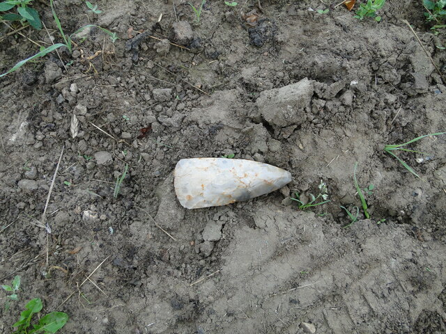
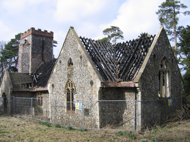
In addition to its natural beauty, Boundary Belt also holds historical significance, with remnants of ancient settlements and archaeological sites scattered throughout the area. The forest has been used by humans for centuries, and evidence of past human activity can still be found among the trees and undergrowth.
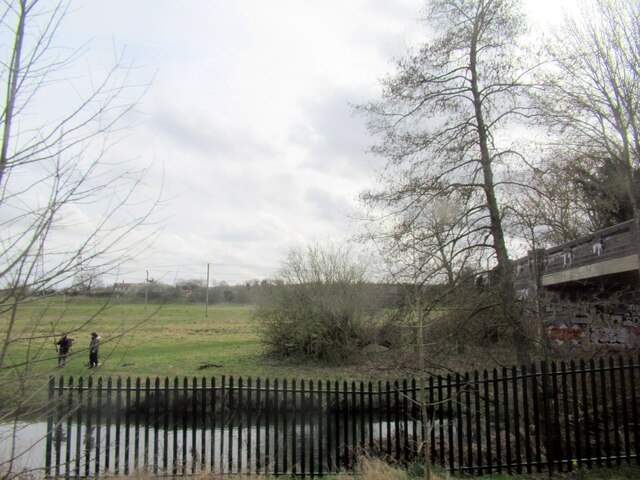
Overall, Boundary Belt in Norfolk is a peaceful and idyllic woodland retreat, perfect for nature lovers, hikers, and those seeking a break from the hustle and bustle of modern life.
If you have any feedback on the listing, please let us know in the comments section below.
Boundary Belt Images
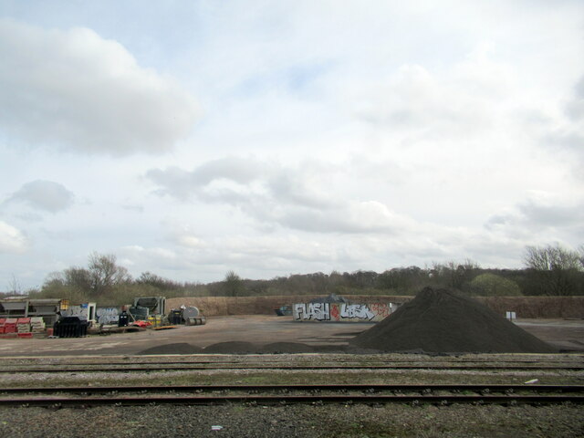
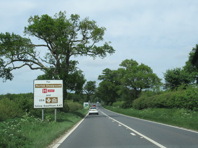
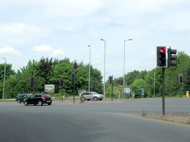
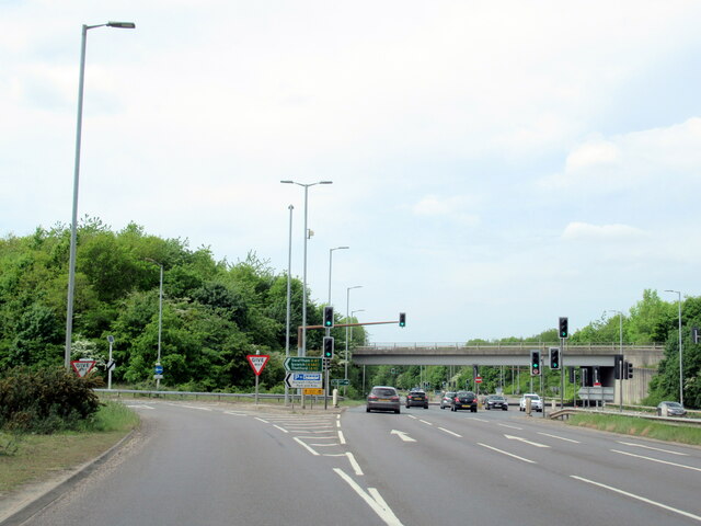
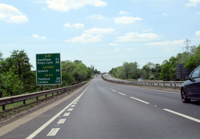
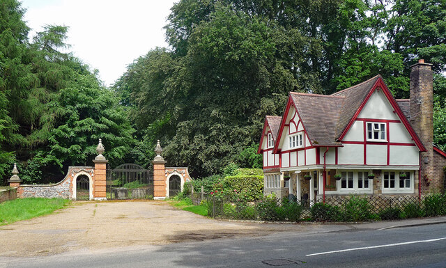
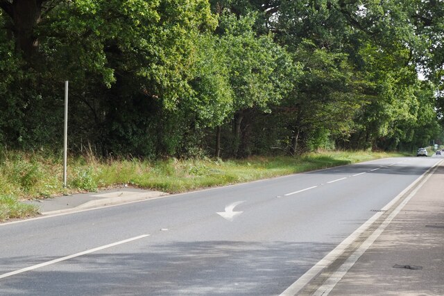
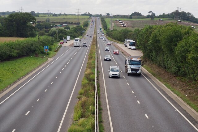
Images are sourced within 2km of 52.601942/1.3171353 or Grid Reference TG2405. Thanks to Geograph Open Source API. All images are credited.


Boundary Belt is located at Grid Ref: TG2405 (Lat: 52.601942, Lng: 1.3171353)
Administrative County: Norfolk
District: South Norfolk
Police Authority: Norfolk
What 3 Words
///during.marked.tested. Near Thorpe Hamlet, Norfolk
Nearby Locations
Related Wikis
Bixley
Bixley is a former civil parish now in the parish of Caistor St Edmund and Bixley, in the South Norfolk district of Norfolk, England. According to the...

River Tas
The River Tas is a river which flows northwards through South Norfolk in England - towards Norwich. The area is named the Tas Valley after the river. The...
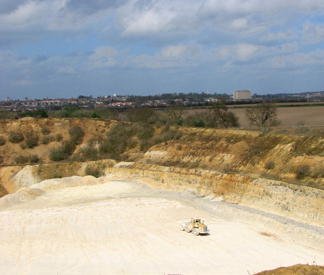
Caistor St Edmund Chalk Pit
Caistor St Edmund Chalk Pit is a 23.6-hectare (58-acre) geological Site of Special Scientific Interest south of Norwich in Norfolk. It is a Geological...
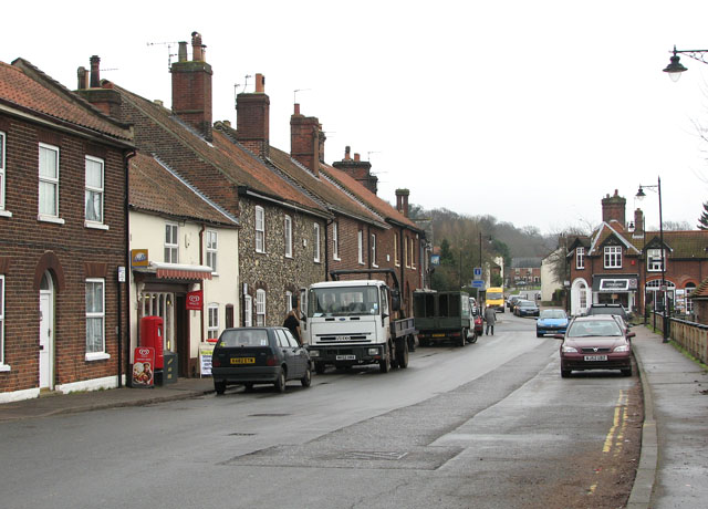
Trowse
Trowse (pronounced by those from Norwich and by elderly residents of the village), also called Trowse with Newton, is a village in South Norfolk which...
Nearby Amenities
Located within 500m of 52.601942,1.3171353Have you been to Boundary Belt?
Leave your review of Boundary Belt below (or comments, questions and feedback).