Alkington

Civil Parish in Gloucestershire Stroud

England

Alkington

Michael Wood Services M5 at night
Michael Wood Services M5 at night Credit: Roy Hughes

Alkington is a civil parish located in the county of Gloucestershire, England. It is situated in the South West region of the country and covers an area of approximately 5 square miles. The parish is predominantly rural, characterized by rolling hills, farmlands, and picturesque countryside.

The village of Alkington itself is small and quaint, with a population of around 300 residents. It is located about 3 miles north of Berkeley and 14 miles south of Gloucester. The village is known for its historic architecture, with several buildings dating back to the 17th and 18th centuries.

The parish is surrounded by natural beauty, including the River Severn to the west and the Berkeley Vale to the east. It offers stunning views and plenty of opportunities for outdoor activities such as hiking, fishing, and birdwatching.

A notable landmark in Alkington is the Alkington Grange, a Grade II listed building that has served as a manor house and farmhouse throughout its history. The grange is a fine example of Georgian architecture and is surrounded by well-maintained gardens and grounds.

The parish has a strong sense of community, with various events and activities organized throughout the year. It also has a primary school, providing education for the local children.

In summary, Alkington is a charming and picturesque civil parish in Gloucestershire, offering a peaceful rural setting, historic architecture, and access to stunning natural landscapes.

If you have any feedback on the listing, please let us know in the comments section below.
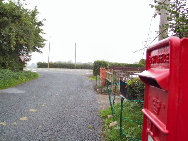
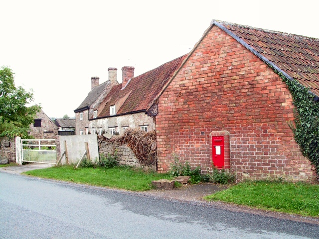
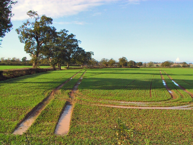
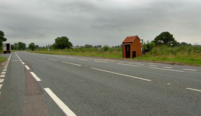
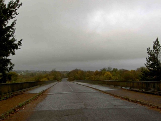
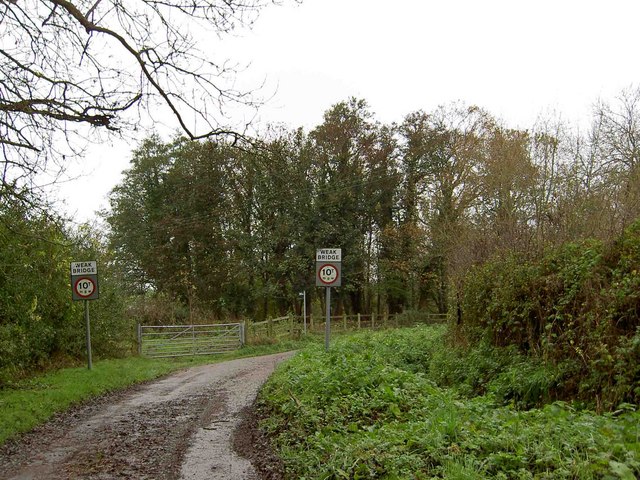
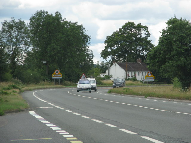
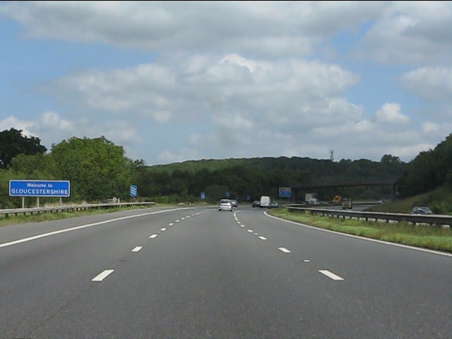
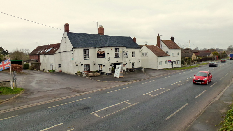
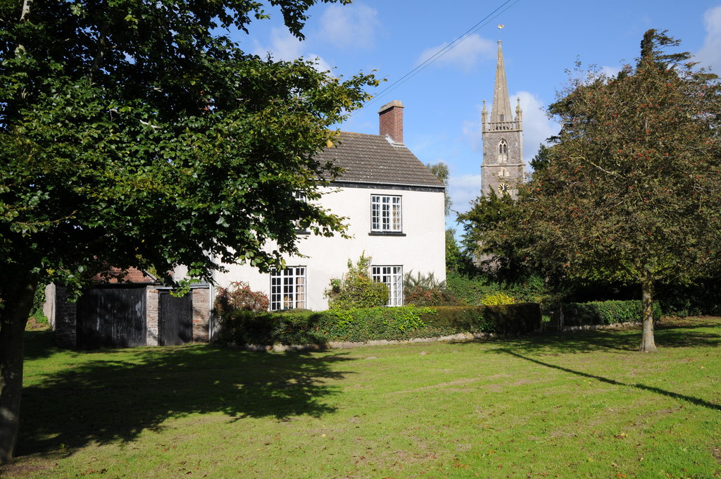
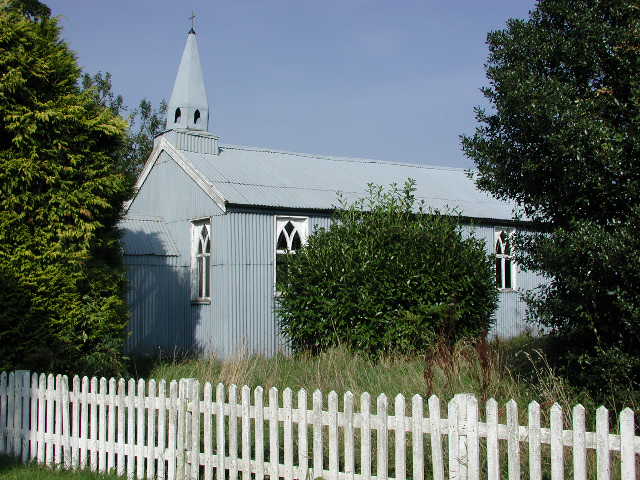
Alkington Images

Images are sourced within 2km of 51.667487/-2.427262 or Grid Reference ST7096. Thanks to Geograph Open Source API. All images are credited.

Michael Wood Services M5 at night
Service station at Michael Wood on the M5 Motorway at night
Michael Wood Services on the M5 Motorway at night
Southbound M5, Access to Michaelwood Services The M5 runs 163 miles from a junction with the M6 at West Bromwich near Birmingham to Exeter in Devon. Constructed between 1962 & 1977. It links the North and Midlands with the South west. <span class="nowrap"><a title="http://en.wikipedia.org/wiki/M5_motorway" rel="nofollow ugc noopener" href="http://en.wikipedia.org/wiki/M5_motorway">Link</a><img style="margin-left:2px;" alt="External link" title="External link - shift click to open in new window" src="https://s1.geograph.org.uk/img/external.png" width="10" height="10"/></span>
Southbound M5, Access to Michaelwood Services
The M5 runs 163 miles from a junction with the M6 at West Bromwich near Birmingham to Exeter in Devon. Constructed between 1962 & 1977. It links the North and Midlands with the South west. LinkExternal link
West towards the lorry park in Michaelwood Services Northbound Michaelwood Services are alongside the M5 motorway in Gloucestershire.
West towards the lorry park in Michaelwood Services Northbound
Michaelwood Services are alongside the M5 motorway in Gloucestershire.
Notice on a car park lamppost in Michaelwood Services Northbound In July 2022 the notice shows "2 Hours Free Parking" and lists the charges payable for vehicles parking here for more than two hours. Michaelwood Services are alongside the M5 motorway in Gloucestershire.
Notice on a car park lamppost in Michaelwood Services Northbound
In July 2022 the notice shows "2 Hours Free Parking" and lists the charges payable for vehicles parking here for more than two hours. Michaelwood Services are alongside the M5 motorway in Gloucestershire.
Towards the main buildings in Michaelwood Services Northbound In the background in July 2022 are M&S Food on the left and Waitrose in the middle. Michaelwood Services are alongside the M5 motorway in Gloucestershire.
Towards the main buildings in Michaelwood Services Northbound
In the background in July 2022 are M&S Food on the left and Waitrose in the middle. Michaelwood Services are alongside the M5 motorway in Gloucestershire.
M5 Service View The view of Michaelwood services on M5 motorway.
M5 Service View
The view of Michaelwood services on M5 motorway.
Swanley Junction View past the postbox at the end of Swanley Lane, to the intersection with the A38 near Woodford
Swanley Junction
View past the postbox at the end of Swanley Lane, to the intersection with the A38 near Woodford
Damery Lane Postbox This postbox near Woodford is set into the wall of the barn at Holly Tree Farm.
Damery Lane Postbox
This postbox near Woodford is set into the wall of the barn at Holly Tree Farm.
Oakleaze Farm Waterlogged fields by the A38 at Chapel Hill. The winter wheat should thrive in the sunny and humid conditions prevailing (early November) if it doesn't drown first. The sharp-eyed may be able to pick out the Oakleaze Farm buildings amongst the trees in the centre of the picture.
Oakleaze Farm
Waterlogged fields by the A38 at Chapel Hill. The winter wheat should thrive in the sunny and humid conditions prevailing (early November) if it doesn't drown first. The sharp-eyed may be able to pick out the Oakleaze Farm buildings amongst the trees in the centre of the picture.
Newport not Fawlty Towers Distressed hotel complex on the A38 at Newport.
Newport not Fawlty Towers
Distressed hotel complex on the A38 at Newport.
Bus shelter on the A38 Near to Newport.
Bus shelter on the A38
Near to Newport.
Stream marks field boundary by Newport
Damery Lane crosses the M5 motorway Michael Wood services is very close by.
Damery Lane crosses the M5 motorway
Michael Wood services is very close by.
Weak bridge ahead on Middle Mill Lane near Stone Gloucestershire
Approach to Woodford along the A38
Welcome to Gloucestershire A friendly sign on the northbound M5, a few hundred yards south of Michaelwood Services.
Welcome to Gloucestershire
A friendly sign on the northbound M5, a few hundred yards south of Michaelwood Services.
Show me another place!

Alkington is located at Grid Ref: ST7096 (Lat: 51.667487, Lng: -2.427262)

Administrative County: Gloucestershire

District: Stroud

Police Authority: Gloucestershire

What 3 Words

///gateway.solve.intruders. Near Berkeley, Gloucestershire

Nearby Locations

Alkington Swanley

Related Wikis

Nearby Amenities

Located within 500m of 51.667487,-2.427262
Lower Wick
Place: hamlet
Wikidata: Q11762918
Lat/Long: 51.6681337/-2.4201333
Post Box
Collection Times: Mo-Fr 16:00; Sa 10:00
Collection Times Checked: 2019-08-17
Drive Through: no
Operator: Royal Mail
Post Box Type: lamp
Ref: GL11 21
Royal Cypher: EIIR
Royal Cypher Wikidata: Q33102113
Source: survey
Lat/Long: 51.6699711/-2.4215867
The data included in this document is from www.openstreetmap.org. The data is made available under ODbL.

Have you been to Alkington?

Leave your review of Alkington below (or comments, questions and feedback).