Alkmonton
Civil Parish in Derbyshire Derbyshire Dales
England
Alkmonton
Alkmonton is a civil parish located in the county of Derbyshire, England. Situated approximately 7 miles southwest of the city of Derby, it falls within the Derbyshire Dales district. The parish covers an area of about 1.5 square miles and is home to a small population of around 100 residents.
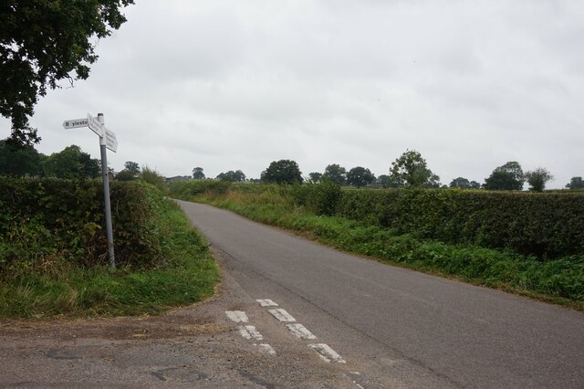
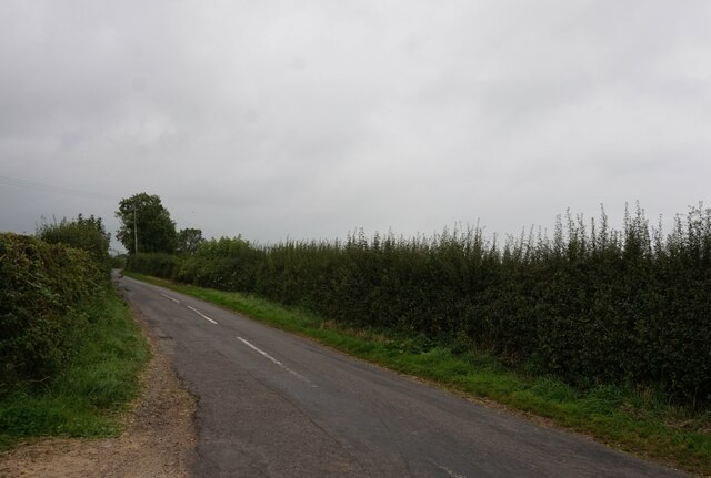
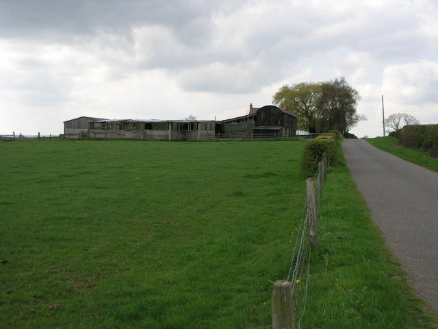
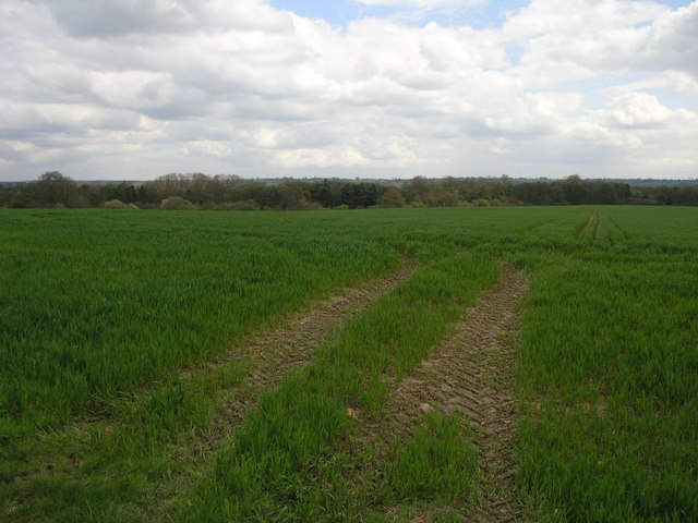
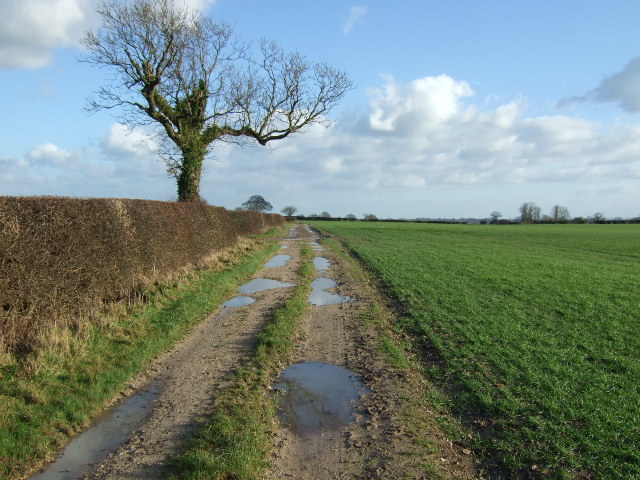
Alkmonton is a rural village that offers a peaceful and picturesque setting. It sits on a gentle slope, surrounded by beautiful countryside and farmland. The parish is well-connected to neighboring areas, with the nearby A515 road providing easy access to other towns and cities.
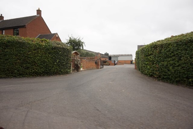
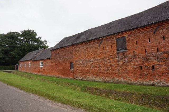
The village itself is characterized by a mix of traditional and modern buildings. There are a number of historic houses and cottages, some dating back several centuries, which add to the village's charm and character. These properties are often constructed with local Derbyshire stone, giving them a distinctive appearance.
Alkmonton is known for its strong sense of community, with various local events and activities taking place throughout the year. The village has a small primary school, providing education for the local children.
The surrounding countryside offers plenty of opportunities for outdoor activities such as walking, cycling, and horse riding. The nearby Carsington Water reservoir is a popular spot for water sports and birdwatching.
Overall, Alkmonton is a tranquil and close-knit community, ideal for those seeking a rural lifestyle within easy reach of urban amenities. Its picturesque setting and friendly atmosphere make it an attractive place to live or visit in Derbyshire.
If you have any feedback on the listing, please let us know in the comments section below.
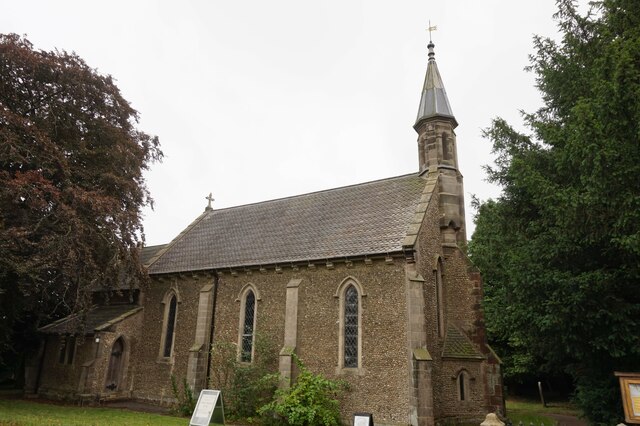
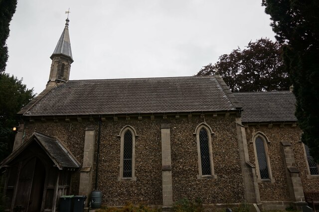
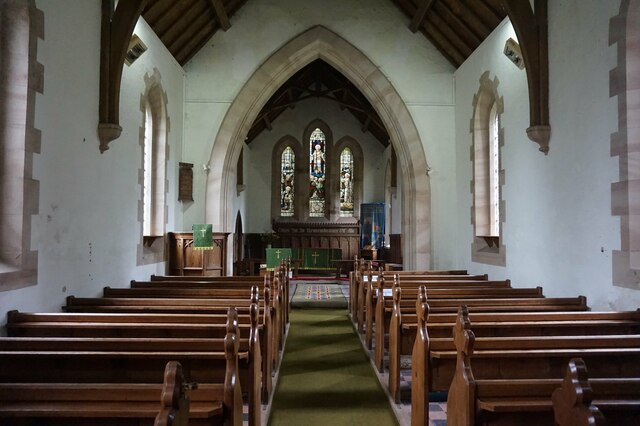
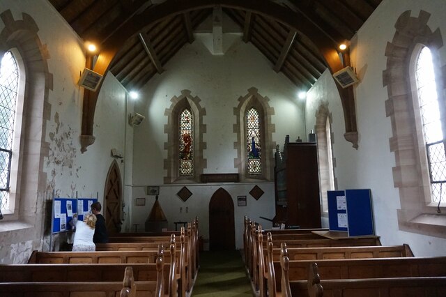
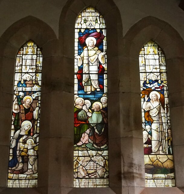
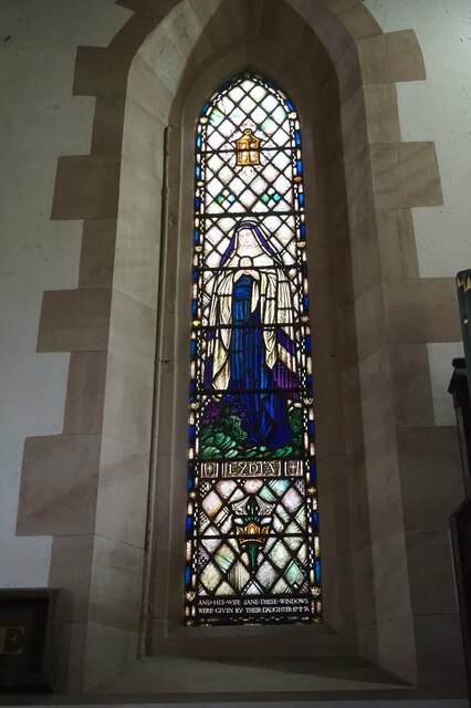
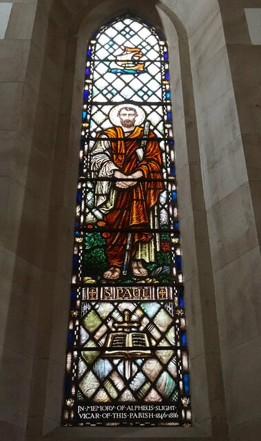
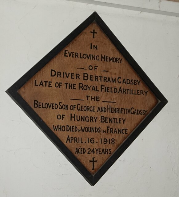
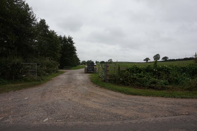
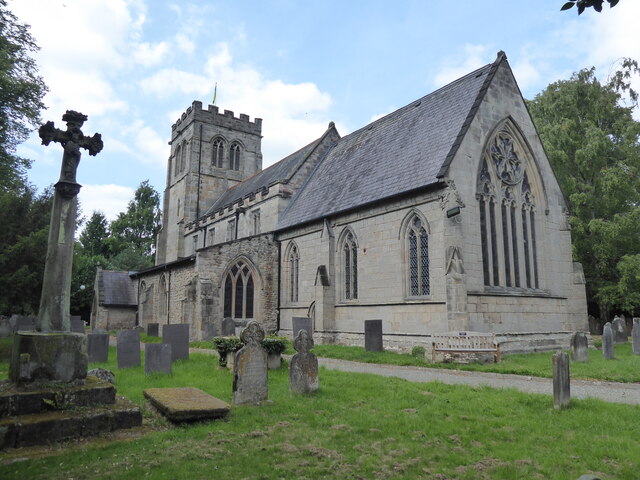
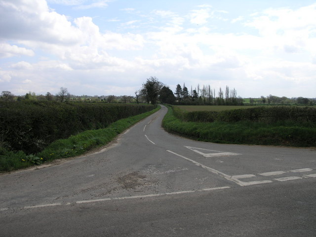
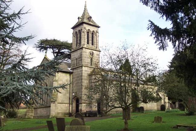
Alkmonton Images
Images are sourced within 2km of 52.934136/-1.708655 or Grid Reference SK1937. Thanks to Geograph Open Source API. All images are credited.
Alkmonton is located at Grid Ref: SK1937 (Lat: 52.934136, Lng: -1.708655)
Administrative County: Derbyshire
District: Derbyshire Dales
Police Authority: Derbyshire
What 3 Words
///blackouts.survivor.basics. Near Mayfield, Staffordshire
Nearby Locations
Related Wikis

Alkmonton medieval settlement
Alkmonton medieval settlement is an archaeological site, a deserted medieval village near the present-day village of Alkmonton, about 5 miles (8 km) south...
Alkmonton
Alkmonton is a village and civil parish in the Derbyshire Dales district of Derbyshire, England, roughly between Uttoxeter and Derby. The parish had a...
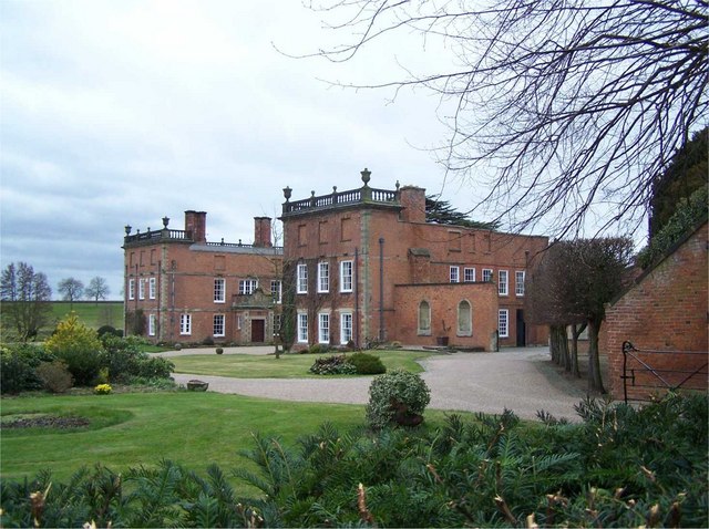
Longford Hall, Derbyshire
Longford Hall is a 16th-century country house at Longford in the Dales district of Derbyshire, England. It is a Grade II* listed building.The hall was...

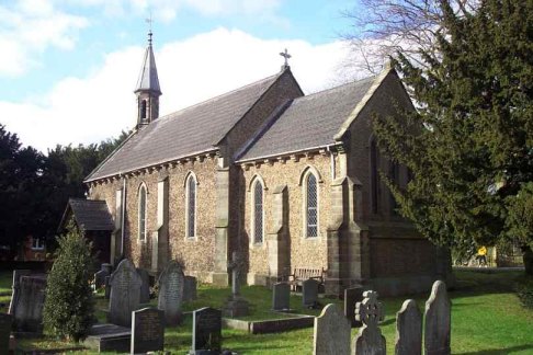
St Chad's Church, Longford
St Chad's Church, Longford is a Grade I listed parish church in the Church of England in Longford, Derbyshire. == History == The church dates from the...
Longford, Derbyshire
Longford is a village and civil parish in Derbyshire Dales district, Derbyshire, England. The population of the civil parish as of the 2011 census was...

Hungry Bentley
Hungry Bentley is a deserted medieval village and civil parish in the Derbyshire Dales district of Derbyshire, England, between Uttoxeter and Derby. The...
Boylestone
Boylestone is a village and civil parish in the Derbyshire Dales district of Derbyshire, England. At the 2011 census, it had a population of 318. The village...
St John the Baptist's Church, Boylestone
St John the Baptist's Church, Boylestone is a Grade II* listed parish church in the Church of England in Boylestone, Derbyshire. == History == The church...
Nearby Amenities
Located within 500m of 52.934136,-1.708655Have you been to Alkmonton?
Leave your review of Alkmonton below (or comments, questions and feedback).