Aldeby

Civil Parish in Norfolk South Norfolk

England

Aldeby

Worlingham Motor Company On Lowestoft Road.
Worlingham Motor Company Credit: JThomas

Aldeby is a civil parish located in the county of Norfolk, England. It is situated on the southern bank of the River Waveney, approximately 12 miles south-east of the town of Beccles. The parish covers an area of about 7 square miles and has a population of around 900 people.

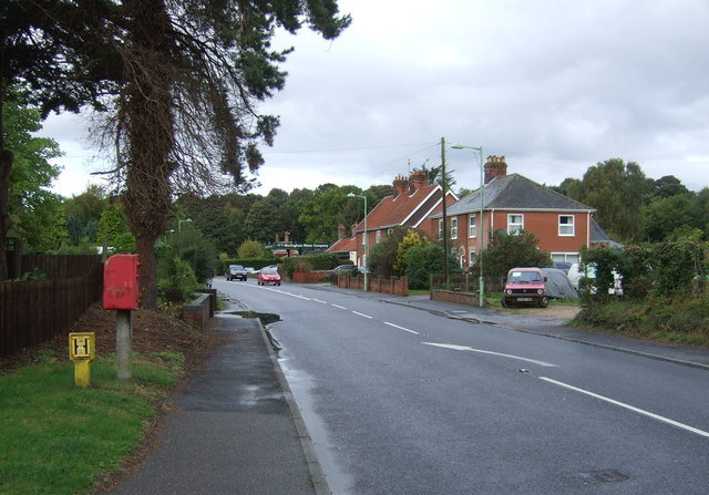
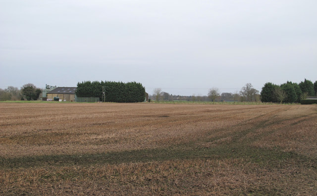
The village of Aldeby is characterized by its picturesque rural setting, with rolling farmlands and a tranquil atmosphere. It is primarily an agricultural area, with farming being the main occupation of the local residents. The village is known for its fertile soil, which makes it ideal for growing crops such as wheat, barley, and sugar beet.

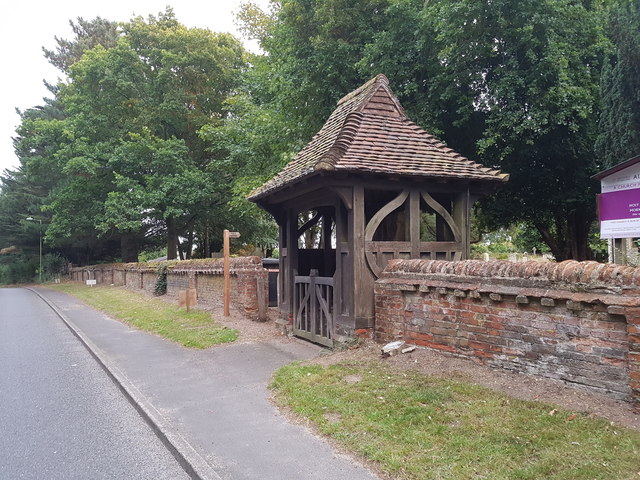
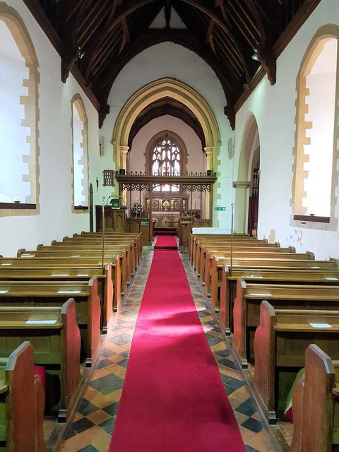
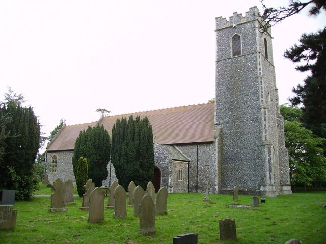
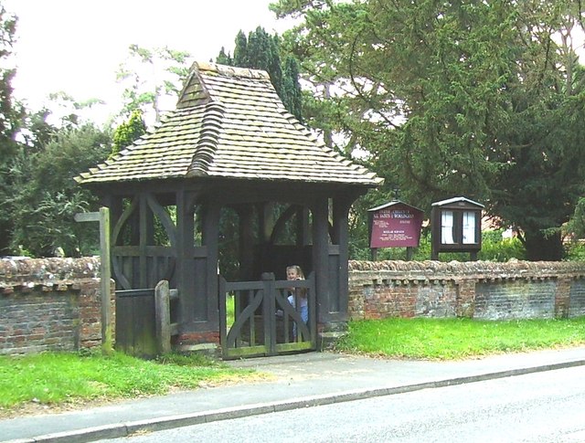
Aldeby is home to several notable landmarks and buildings. St. Mary's Church, dating back to the 12th century, is a prominent feature in the village. It is a Grade I listed building and has a beautiful Norman tower. The church is still in use and holds regular services.

The village also has a primary school, a village hall, and a local pub. The school provides education for children aged between 4 and 11, while the village hall serves as a community hub for various events and activities. The local pub, The White Lion, offers a warm and welcoming atmosphere for residents and visitors alike.

Aldeby is located within the Norfolk Broads, a popular tourist destination known for its natural beauty and boating opportunities. The village provides an excellent base for exploring the surrounding area, with its tranquil riverside location and easy access to the broads.

If you have any feedback on the listing, please let us know in the comments section below.

Aldeby Images

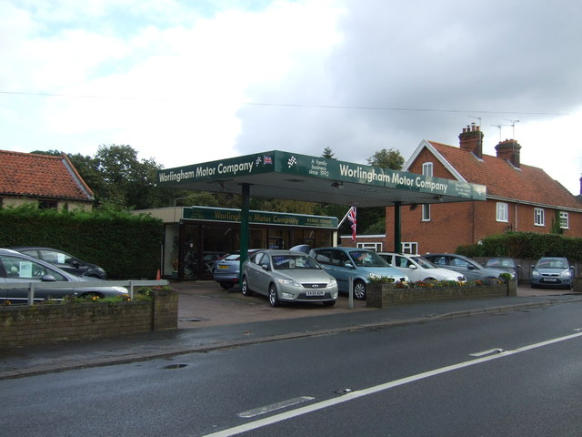
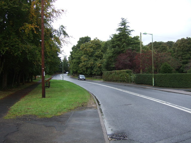
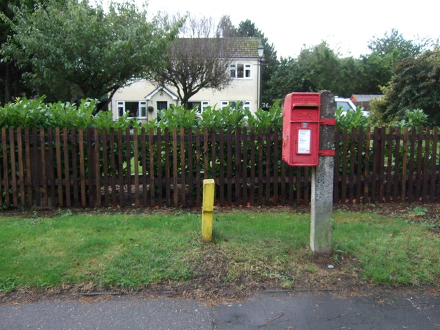
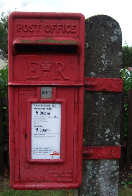
Images are sourced within 2km of 52.468548/1.605377 or Grid Reference TM4491. Thanks to Geograph Open Source API. All images are credited.

Worlingham Motor Company On Lowestoft Road.
Worlingham Motor Company
On Lowestoft Road.
Lowestoft Road, Worlingham Looking east.
Lowestoft Road, Worlingham
Looking east.
Elizabeth II postbox on Lowestoft Road, Worlingham Postbox No. NR34 3434.

See <a href="https://www.geograph.org.uk/photo/5163314">TM4489 : Close up, Elizabeth II postbox on Lowestoft Road, Worlingham</a> for close up
.
See <a href="https://www.geograph.org.uk/photo/5163316">TM4489 : Lowestoft Road, Worlingham</a> for context.
Elizabeth II postbox on Lowestoft Road, Worlingham
Close up, Elizabeth II postbox on Lowestoft Road, Worlingham Postbox No. NR34 3434.

See <a href="https://www.geograph.org.uk/photo/5163312">TM4489 : Elizabeth II postbox on Lowestoft Road, Worlingham</a> for wider view.
Close up, Elizabeth II postbox on Lowestoft Road, Worlingham
Postbox No. NR34 3434. See TM4489 : Elizabeth II postbox on Lowestoft Road, Worlingham for wider view.
Lowestoft Road, Worlingham Showing position of Postbox No. NR34 3434.

See <a href="https://www.geograph.org.uk/photo/5163312">TM4489 : Elizabeth II postbox on Lowestoft Road, Worlingham</a> for postbox.
Lowestoft Road, Worlingham
Showing position of Postbox No. NR34 3434. See TM4489 : Elizabeth II postbox on Lowestoft Road, Worlingham for postbox.
Stubble on arable land near Hall Farm, Worlingham
WW1 Memorial Lych Gate outside Worlingham Parish Church
The nave of Worlingham Parish Church
Roll of Honour inside Worlingham Parish Church
Parish Church of All Saints, Worlingham
Worlingham village sign The sign depicts a cobbler who many years ago used to work in a hollow tree in the village. In the background a swan and grey heron can be seen by the River Waveney upon whose southern bank the village sits.
Worlingham village sign
The sign depicts a cobbler who many years ago used to work in a hollow tree in the village. In the background a swan and grey heron can be seen by the River Waveney upon whose southern bank the village sits.
Worlingham village sign and gates of Worlingham Hall The sign depicts a cobbler who many years ago used to work in a hollow tree in the village. In the background a swan and grey heron can be seen by the River Waveney upon whose southern bank the village sits.
Worlingham village sign and gates of Worlingham Hall
The sign depicts a cobbler who many years ago used to work in a hollow tree in the village. In the background a swan and grey heron can be seen by the River Waveney upon whose southern bank the village sits.
Worlingham village entry board Depicting the village sign, it is located at the beginning of the populated area. There is a matching sign at the other end of the village. <a title="https://www.geograph.org.uk/photo/6676614" href="https://www.geograph.org.uk/photo/6676614">Link</a>
Worlingham village entry board
Depicting the village sign, it is located at the beginning of the populated area. There is a matching sign at the other end of the village. Link
All Saints Parish Church, Worlingham A pretty Church standing in the village of Worlingham enclosed by a 16th century wall and Lychgate. At one time Worlingham had two Churches St. Mary Worlingham magna & St. Peter Worlingham parva, by the 15th century St. Peters became derelict. When the Beccles by-pass was being constructed in 1981 the graveyard of the vanished Church was uncovered, the remains of 23 parishioners were reintered in All Saints Churchyard.
All Saints Parish Church, Worlingham
A pretty Church standing in the village of Worlingham enclosed by a 16th century wall and Lychgate. At one time Worlingham had two Churches St. Mary Worlingham magna & St. Peter Worlingham parva, by the 15th century St. Peters became derelict. When the Beccles by-pass was being constructed in 1981 the graveyard of the vanished Church was uncovered, the remains of 23 parishioners were reintered in All Saints Churchyard.
Lych gate of All Saint's Church Worlingham The Lych gate serves as the war memorial and commemorates nine sailors lost at sea. There is an adjacent gate for the footpath which runs through the church grounds. The gate faces the Lowestoft Road (seen in foreground)
Lych gate of All Saint's Church Worlingham
The Lych gate serves as the war memorial and commemorates nine sailors lost at sea. There is an adjacent gate for the footpath which runs through the church grounds. The gate faces the Lowestoft Road (seen in foreground)
Cut Bench mark on Worlingham All Saints church, Suffolk This bench mark is situated about 64 cm from ground level on the north-west buttress of the tower, facing north-east, at TM 44477 89837. For more information on this and other bench marks visit the bench mark database > <span class="nowrap"><a title="http://www.bench-marks.org.uk/bm31824" rel="nofollow ugc noopener" href="http://www.bench-marks.org.uk/bm31824">Link</a><img style="margin-left:2px;" alt="External link" title="External link - shift click to open in new window" src="https://s1.geograph.org.uk/img/external.png" width="10" height="10"/></span>
Cut Bench mark on Worlingham All Saints church, Suffolk
This bench mark is situated about 64 cm from ground level on the north-west buttress of the tower, facing north-east, at TM 44477 89837. For more information on this and other bench marks visit the bench mark database > LinkExternal link
Headstone for 23 inhabitants This headstone which stands in Worlingham All Saints new graveyard is where 23 skeletons were reburied after being dug up during the building of the Worlingham bypass. The church of Worlingham St Peter's was excavated at the same time and the site can be seen > <a title="https://www.geograph.org.uk/photo/1914701" href="https://www.geograph.org.uk/photo/1914701">Link</a>
Headstone for 23 inhabitants
This headstone which stands in Worlingham All Saints new graveyard is where 23 skeletons were reburied after being dug up during the building of the Worlingham bypass. The church of Worlingham St Peter's was excavated at the same time and the site can be seen > Link
Village Sign at Worlingham, Suffolk The village sign has been missing for a number of years, but is now back in place after restoration. It depicts a cobbler who many years ago used to work in a hollow tree in the village.
Village Sign at Worlingham, Suffolk
The village sign has been missing for a number of years, but is now back in place after restoration. It depicts a cobbler who many years ago used to work in a hollow tree in the village.
Show me another place!

Aldeby is located at Grid Ref: TM4491 (Lat: 52.468548, Lng: 1.605377)

Administrative County: Norfolk

District: South Norfolk

Police Authority: Norfolk

What 3 Words

///ranted.disprove.comical. Near Beccles, Suffolk

Related Wikis

Aldeby

Aldeby is a village and civil parish in the English county of Norfolk. It is bounded to the south by the River Waveney, on the other side of which is Suffolk...

Worlingham Hall

Worlingham Hall is a Grade I listed Georgian country house in Worlingham, 1 mile (1.6 km) to the east of Beccles in the English county of Suffolk. The...

Castle Marshes

Castle Marshes is a 71 hectare nature reserve west of Lowestoft in Suffolk. It is managed by the Suffolk Wildlife Trust. It is part of the Barnby Broad...

Stanley and Alder Carrs, Aldeby

Stanley and Alder Carrs, Aldeby is a 42.7-hectare (106-acre) biological Site of Special Scientific Interest east of Gillingham in Norfolk. It is part of...

Have you been to Aldeby?

Leave your review of Aldeby below (or comments, questions and feedback).