Railway Dyke
Lake, Pool, Pond, Freshwater Marsh in Suffolk East Suffolk
England
Railway Dyke
Railway Dyke is a prominent freshwater feature situated in Suffolk, England. Spanning across an area of approximately 5 hectares, this dyke is located in the vicinity of the small village of Suffolk, nestled amidst the picturesque countryside. The dyke is a vital part of the local ecosystem, providing a habitat for diverse flora and fauna.
The primary source of water for Railway Dyke is rainfall, which is stored in the surrounding catchment area and slowly fed into the dyke. The water level fluctuates throughout the year, influenced by precipitation and evaporation rates. This dynamic water level creates a unique and ever-changing environment.
The vegetation surrounding Railway Dyke is rich and varied, encompassing a mixture of emergent and submerged plants. These include reeds, rushes, and water lilies, which not only beautify the area but also serve as a crucial habitat for a diverse range of animal species. Insects, amphibians, and birds are commonly found in and around the dyke, taking advantage of the rich food sources and shelter provided by the vegetation.
Railway Dyke is also a popular spot for birdwatchers and nature enthusiasts. It attracts a variety of bird species, including ducks, swans, herons, and kingfishers, making it an ideal location for birdwatching and photography. The tranquil surroundings and the diverse range of wildlife make Railway Dyke a haven for nature lovers, offering a peaceful escape from the hustle and bustle of everyday life.
Overall, Railway Dyke in Suffolk serves as a valuable freshwater marsh, providing a vital habitat for a wide range of plants and animals. Its natural beauty and ecological importance make it a treasured part of the local landscape.
If you have any feedback on the listing, please let us know in the comments section below.
Railway Dyke Images
Images are sourced within 2km of 52.46292/1.5926157 or Grid Reference TM4491. Thanks to Geograph Open Source API. All images are credited.


Railway Dyke is located at Grid Ref: TM4491 (Lat: 52.46292, Lng: 1.5926157)
Administrative County: Suffolk
District: East Suffolk
Police Authority: Suffolk
What 3 Words
///tastier.develop.appendix. Near Beccles, Suffolk
Nearby Locations
Related Wikis

Worlingham Hall
Worlingham Hall is a Grade I listed Georgian country house in Worlingham, 1 mile (1.6 km) to the east of Beccles in the English county of Suffolk. The...

Worlingham
Worlingham is a village and civil parish in the East Suffolk district of the English county of Suffolk. It is about 1.3 miles (2.1 km) east of Beccles...

Beccles Town F.C.
Beccles Town Football Club is an English football club based in Beccles, Suffolk. They are nicknamed 'The Wherrymen', because Beccles was once a busy trading...
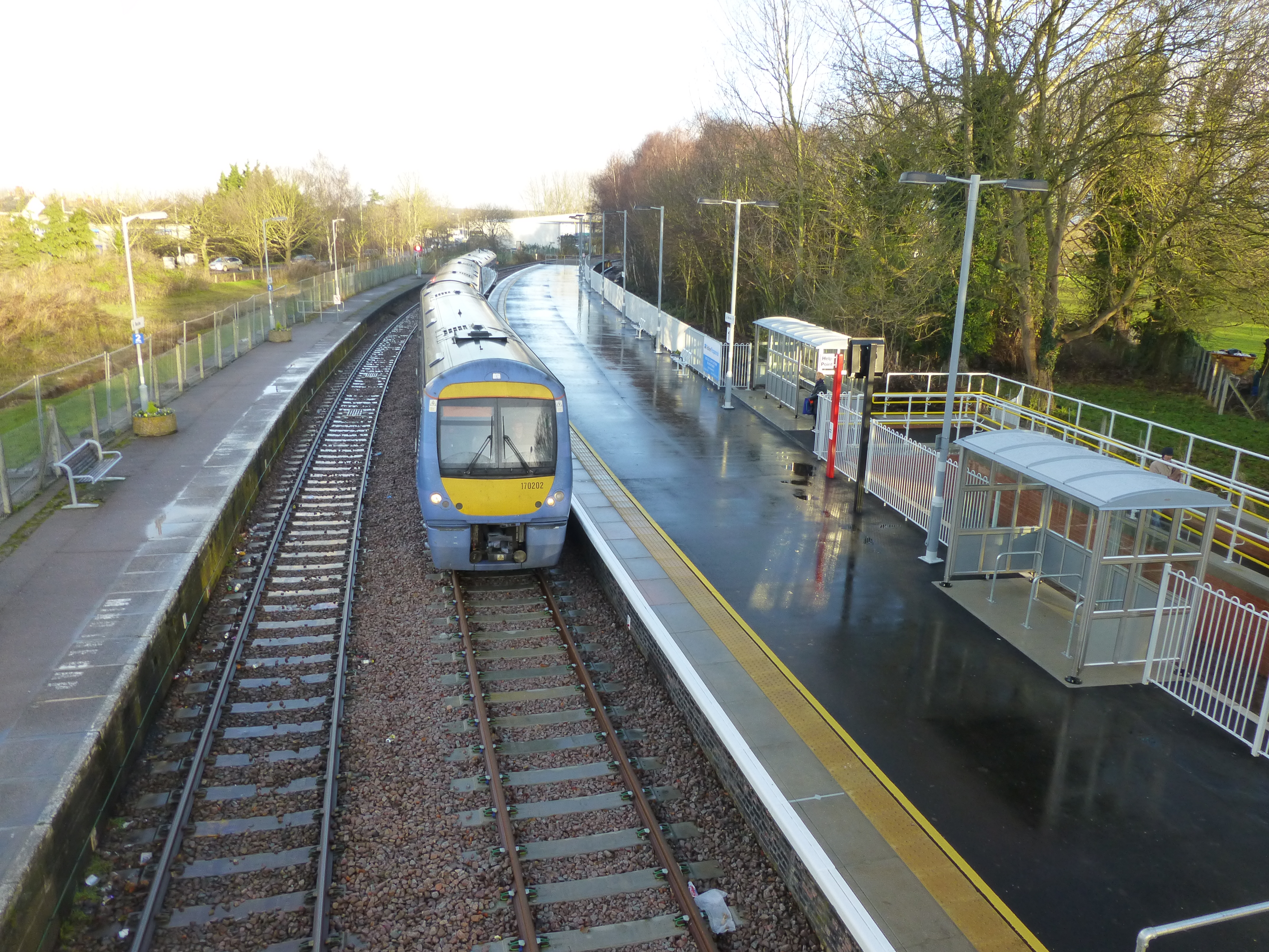
Beccles railway station
Beccles railway station is on the East Suffolk Line in the east of England, serving the town of Beccles, Suffolk. It is 40 miles 34 chains (65.1 km) down...

Stanley and Alder Carrs, Aldeby
Stanley and Alder Carrs, Aldeby is a 42.7-hectare (106-acre) biological Site of Special Scientific Interest east of Gillingham in Norfolk. It is part of...
SET Beccles School
SET Beccles School (formerly Beccles Free School) is a coeducational secondary free school located in Beccles in the English county of Suffolk. == History... ==
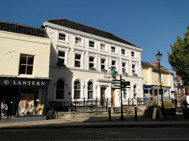
Corn Exchange, Beccles
The Corn Exchange is a commercial building in Exchange Square in Beccles, Suffolk, England. The structure, which is now used as a branch of Lloyds Bank...

Beccles
Beccles ( BEK-əlz) is a market town and civil parish in the English county of Suffolk. The town is shown on the milestone as 109 miles (175 km) from London...
Nearby Amenities
Located within 500m of 52.46292,1.5926157Have you been to Railway Dyke?
Leave your review of Railway Dyke below (or comments, questions and feedback).