Worlingham

Civil Parish in Suffolk East Suffolk

England

Worlingham

A large serpentine wall This 12 foot high wall  was once protection for a walled garden, part of a kitchen garden probably associated with Worlingham Hall. Located in Garden Lane, it is from this garden that the road takes its name. 
This face extends to about 40 metres along the road, being the eastern side. A straight wall joins at the southeast corner and runs 60 metres westward and joins another serpentine wall running south to north terminating in the back garden of numbers 11 and 12 Paddocks Green. Originally covering about an acre, just over 0.4 of a hectare. 
The whole structure is grade II listed #1032014 and was constructed late 18th or early 19th century
A large serpentine wall Credit: Adrian S Pye

Worlingham is a civil parish located in the county of Suffolk, England. It is situated just 2 miles west of the market town of Beccles, on the southern bank of the River Waveney. The parish covers an area of approximately 6 square miles and has a population of around 2,000 residents.

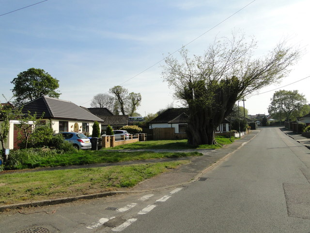
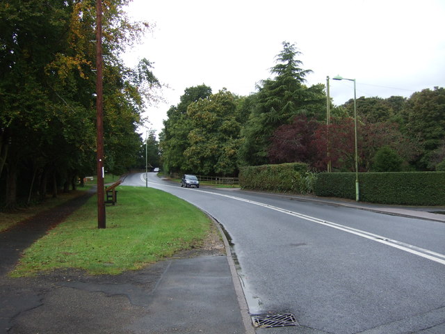
Worlingham is known for its picturesque countryside, with rolling hills and open fields surrounding the village. It is predominantly a rural area, with a few scattered residential properties and farms. The village itself has a charming and peaceful atmosphere, with a mix of traditional and modern houses.

The parish is home to St. Mary's Church, a historic Grade I listed building that dates back to the 14th century. The church is a prominent feature of the village and attracts visitors for its architectural beauty and religious significance.

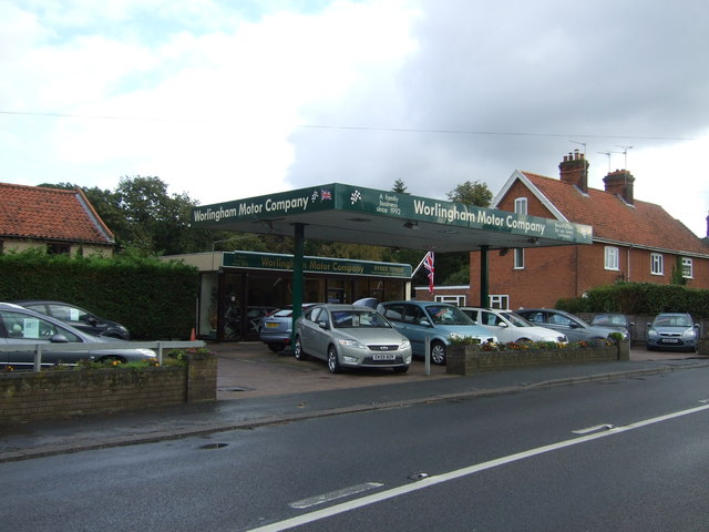
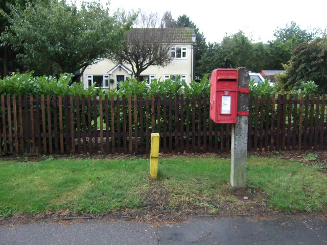
Worlingham has a strong sense of community, with various local amenities available for its residents. These include a primary school, a village hall, a pub, and a few shops and businesses that cater to the daily needs of the residents. The village also has several sports clubs and recreational facilities, including a cricket club and a football club.

The surrounding area offers plenty of opportunities for outdoor activities, such as walking, cycling, and boating. The nearby River Waveney is popular for fishing and boating enthusiasts, while the surrounding countryside provides scenic trails and paths for nature lovers.

Overall, Worlingham is a peaceful and idyllic rural parish, offering a tranquil lifestyle and beautiful natural surroundings for its residents.

If you have any feedback on the listing, please let us know in the comments section below.
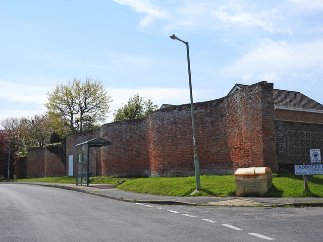
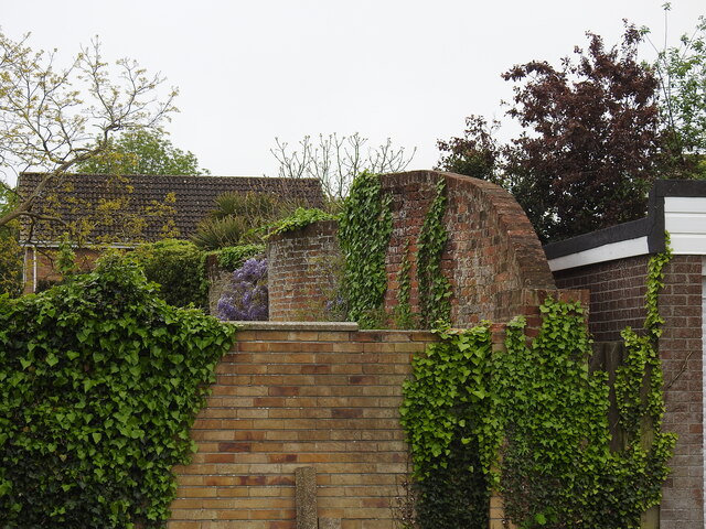
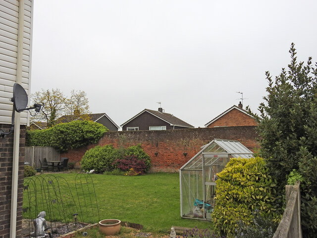
Worlingham Images

Images are sourced within 2km of 52.464332/1.60029 or Grid Reference TM4491. Thanks to Geograph Open Source API. All images are credited.

A large serpentine wall This 12 foot high wall  was once protection for a walled garden, part of a kitchen garden probably associated with Worlingham Hall. Located in Garden Lane, it is from this garden that the road takes its name. 
This face extends to about 40 metres along the road, being the eastern side. A straight wall joins at the southeast corner and runs 60 metres westward and joins another serpentine wall running south to north terminating in the back garden of numbers 11 and 12 Paddocks Green. Originally covering about an acre, just over 0.4 of a hectare. 
The whole structure is grade II listed #1032014 and was constructed late 18th or early 19th century
A large serpentine wall
This 12 foot high wall was once protection for a walled garden, part of a kitchen garden probably associated with Worlingham Hall. Located in Garden Lane, it is from this garden that the road takes its name. This face extends to about 40 metres along the road, being the eastern side. A straight wall joins at the southeast corner and runs 60 metres westward and joins another serpentine wall running south to north terminating in the back garden of numbers 11 and 12 Paddocks Green. Originally covering about an acre, just over 0.4 of a hectare. The whole structure is grade II listed #1032014 and was constructed late 18th or early 19th century
Serpentine wall at Worlingham The wall along with <a href="https://www.geograph.org.uk/photo/7474493">TM4489 : A large serpentine wall</a> enclosed a walled garden of about one acre.
A view of the other end of this wall can be seen here <a href="https://www.geograph.org.uk/photo/7482320">TM4489 : Former walled garden at Worlingham</a>
Serpentine wall at Worlingham
The wall along with TM4489 : A large serpentine wall enclosed a walled garden of about one acre. A view of the other end of this wall can be seen here TM4489 : Former walled garden at Worlingham
Former walled garden at Worlingham The other end of <a href="https://www.geograph.org.uk/photo/7482318">TM4489 : Serpentine wall at Worlingham</a> 
See also <a href="https://www.geograph.org.uk/photo/7474493">TM4489 : A large serpentine wall</a>
Former walled garden at Worlingham
Serpentine wall enclosing a garden At The Walnuts, Worlingham
Serpentine wall enclosing a garden
At The Walnuts, Worlingham
Serpentine wall at The Walnuts A serpentine or crinkle-crankle wall was initially designed to save bricks and reduce to cost of building walls. Suffolk seems to be the historical birthplace of the metamorphic remodelling of the straightforward into the curiously peculiar.
A wavy wall can be built with the thickness of a single brick and is self supporting even in very strong winds whereas a straight wall requires a thickness of at least two bricks (9 inches) and even buttresses if raised over about three feet.

Wikipedia has a few words to add: A crinkle crankle wall, also known as a crinkum crankum, slangenmuur  (snake-wall) sinusoidal, serpentine, ribbon or wavy wall, is an unusual type of structural or garden wall built in a serpentine shape with alternating curves, originally used in Ancient Egypt, but also typically found in Suffolk in England.
The alternate convex and concave curves in the wall provide stability and help it to resist lateral forces,  leading to greater strength than a straight wall of the same thickness of bricks without the need for buttresses.
The phrase "crinkle crankle" is an ablaut reduplication, defined as something with bends and turns, first attested in 1598 (though "crinkle" and "crankle" have somewhat longer histories).
Serpentine wall at The Walnuts
A serpentine or crinkle-crankle wall was initially designed to save bricks and reduce to cost of building walls. Suffolk seems to be the historical birthplace of the metamorphic remodelling of the straightforward into the curiously peculiar. A wavy wall can be built with the thickness of a single brick and is self supporting even in very strong winds whereas a straight wall requires a thickness of at least two bricks (9 inches) and even buttresses if raised over about three feet. Wikipedia has a few words to add: A crinkle crankle wall, also known as a crinkum crankum, slangenmuur (snake-wall) sinusoidal, serpentine, ribbon or wavy wall, is an unusual type of structural or garden wall built in a serpentine shape with alternating curves, originally used in Ancient Egypt, but also typically found in Suffolk in England. The alternate convex and concave curves in the wall provide stability and help it to resist lateral forces, leading to greater strength than a straight wall of the same thickness of bricks without the need for buttresses. The phrase "crinkle crankle" is an ablaut reduplication, defined as something with bends and turns, first attested in 1598 (though "crinkle" and "crankle" have somewhat longer histories).
The Uplands, Worlingham
Worlingham's famous Caucasian Elm decapitated Compare this the picture taken a few years ago <a title="https://www.geograph.org.uk/photo/2133819" href="https://www.geograph.org.uk/photo/2133819">Link</a>
One year previously half the tree had fallen on a bungalow <a title="https://www.geograph.org.uk/photo/4463549" href="https://www.geograph.org.uk/photo/4463549">Link</a>
Worlingham's famous Caucasian Elm decapitated
Compare this the picture taken a few years ago Link One year previously half the tree had fallen on a bungalow Link
Lowestoft Road Heading north west on National Cycle Route 1.
Lowestoft Road
Heading north west on National Cycle Route 1.
Gateway to Musk Hall Off National Cycle Route 1.
Gateway to Musk Hall
Off National Cycle Route 1.
Worlingham Motor Company On Lowestoft Road.
Worlingham Motor Company
On Lowestoft Road.
Lowestoft Road, Worlingham Looking east.
Lowestoft Road, Worlingham
Looking east.
Heading east on Lowestoft Road, Worlingham
Entering Beccles Heading north west on Lowestoft Road.
Entering Beccles
Heading north west on Lowestoft Road.
Close up Elizabeth II postbox outside Worlingham Post Office Postbox No. NR34 3416.

See <a href="https://www.geograph.org.uk/photo/5163291">TM4389 : Elizabeth II postbox outside Worlingham Post Office</a> for wider view.
Close up Elizabeth II postbox outside Worlingham Post Office
Postbox No. NR34 3416. See TM4389 : Elizabeth II postbox outside Worlingham Post Office for wider view.
Elizabeth II postbox outside Worlingham Post Office Postbox No. NR34 3416.

See <a href="https://www.geograph.org.uk/photo/5163259">TM4389 : Close up Elizabeth II postbox outside Worlingham Post Office</a> for close up.

See <a href="https://www.geograph.org.uk/photo/5163293">TM4389 : Worlingham Post Office</a> for context
Elizabeth II postbox outside Worlingham Post Office
Worlingham Post Office Showing position of Postbox No. NR34 3416.

See <a href="https://www.geograph.org.uk/photo/5163291">TM4389 : Elizabeth II postbox outside Worlingham Post Office</a> for postbox.
Worlingham Post Office
Showing position of Postbox No. NR34 3416. See TM4389 : Elizabeth II postbox outside Worlingham Post Office for postbox.
Elizabeth II postbox on Lowestoft Road, Worlingham Postbox No. NR34 3434.

See <a href="https://www.geograph.org.uk/photo/5163314">TM4489 : Close up, Elizabeth II postbox on Lowestoft Road, Worlingham</a> for close up
.
See <a href="https://www.geograph.org.uk/photo/5163316">TM4489 : Lowestoft Road, Worlingham</a> for context.
Elizabeth II postbox on Lowestoft Road, Worlingham
Close up, Elizabeth II postbox on Lowestoft Road, Worlingham Postbox No. NR34 3434.

See <a href="https://www.geograph.org.uk/photo/5163312">TM4489 : Elizabeth II postbox on Lowestoft Road, Worlingham</a> for wider view.
Close up, Elizabeth II postbox on Lowestoft Road, Worlingham
Postbox No. NR34 3434. See TM4489 : Elizabeth II postbox on Lowestoft Road, Worlingham for wider view.
Show me another place!

Worlingham is located at Grid Ref: TM4491 (Lat: 52.464332, Lng: 1.60029)

Administrative County: Suffolk

District: East Suffolk

Police Authority: Suffolk

What 3 Words

///darling.instructs.avoid. Near Beccles, Suffolk

Related Wikis

Worlingham Hall

Worlingham Hall is a Grade I listed Georgian country house in Worlingham, 1 mile (1.6 km) to the east of Beccles in the English county of Suffolk. The...

Worlingham

Worlingham is a village and civil parish in the East Suffolk district of the English county of Suffolk. It is about 1.3 miles (2.1 km) east of Beccles...

Stanley and Alder Carrs, Aldeby

Stanley and Alder Carrs, Aldeby is a 42.7-hectare (106-acre) biological Site of Special Scientific Interest east of Gillingham in Norfolk. It is part of...

Castle Marshes

Castle Marshes is a 71 hectare nature reserve west of Lowestoft in Suffolk. It is managed by the Suffolk Wildlife Trust. It is part of the Barnby Broad...

Nearby Amenities

Located within 500m of 52.464332,1.60029
Crossing Activation: user
Crossing Light: no
Railway: level_crossing
Lat/Long: 52.4613177/1.6039613
Communication Mobile Phone: yes
Man Made: mast
Material: metal
Operator: EE
Tower Construction: lattice
Tower Type: communication
Lat/Long: 52.4622085/1.5994059
The data included in this document is from www.openstreetmap.org. The data is made available under ODbL.

Have you been to Worlingham?

Leave your review of Worlingham below (or comments, questions and feedback).