Aldenham
Civil Parish in Hertfordshire Hertsmere
England
Aldenham

Aldenham is a civil parish located in Hertfordshire, England. It is situated in the southern part of the county, approximately 12 miles northwest of central London. The parish covers an area of around 3.7 square miles and is home to a population of approximately 5,000 people.
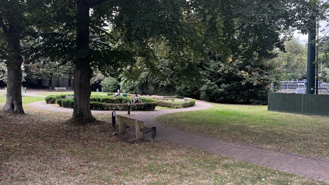
The village of Aldenham is known for its picturesque setting and charming rural atmosphere. It is surrounded by rolling countryside, offering residents and visitors a tranquil and scenic environment. The parish is primarily residential, with a mix of housing ranging from traditional cottages to modern developments.
Aldenham is home to several notable landmarks and attractions. Aldenham Country Park, situated on the outskirts of the village, is a popular destination for outdoor activities, offering woodland walks, a farm, and a lake for fishing and boating. The park also hosts various events and has a café for visitors to enjoy.
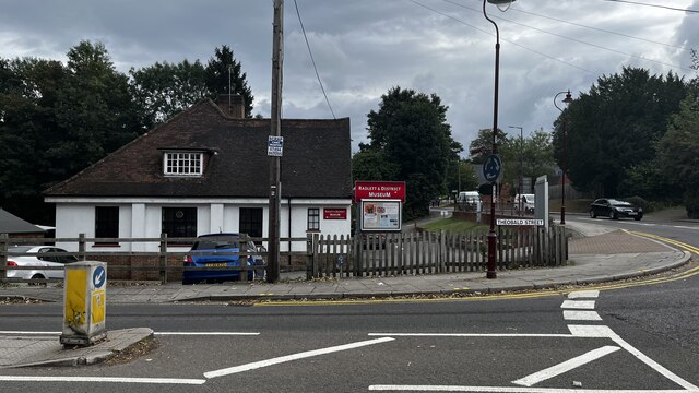
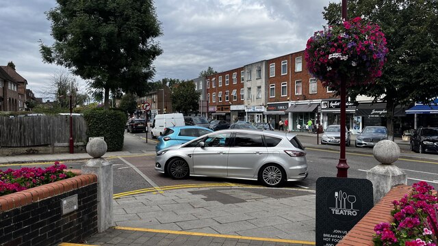
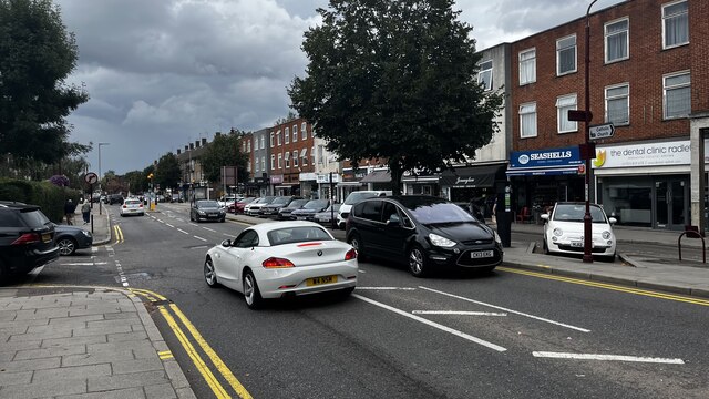
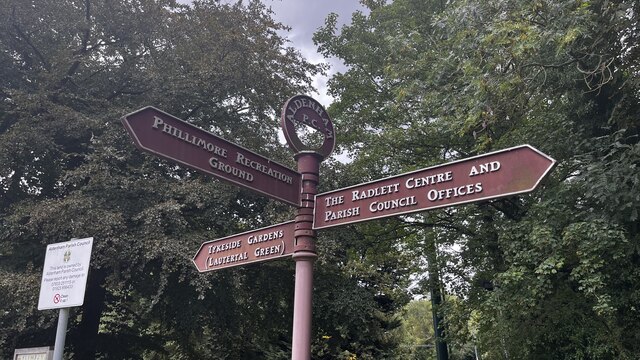
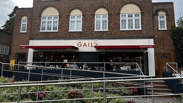
The village itself boasts a range of amenities, including a primary school, a village hall, a post office, and several shops and local businesses. There are also several historic buildings in the area, such as St. John the Baptist Church, which dates back to the 13th century and is known for its beautiful stained glass windows.
Aldenham is well-connected to surrounding areas by road and public transport. The nearby M1 motorway provides easy access to London and other parts of the country, while regular bus services connect the village to nearby towns and cities.
Overall, Aldenham offers its residents a peaceful and idyllic setting, with a close-knit community and a range of amenities to cater to their needs.
If you have any feedback on the listing, please let us know in the comments section below.
Aldenham Images
Images are sourced within 2km of 51.676521/-0.329146 or Grid Reference TQ1598. Thanks to Geograph Open Source API. All images are credited.

Aldenham is located at Grid Ref: TQ1598 (Lat: 51.676521, Lng: -0.329146)
Administrative County: Hertfordshire
District: Hertsmere
Police Authority: Hertfordshire
What 3 Words
///pays.save.deep. Near Radlett, Hertfordshire
Nearby Locations
Related Wikis
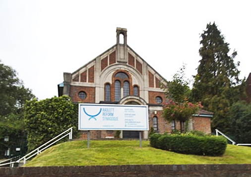
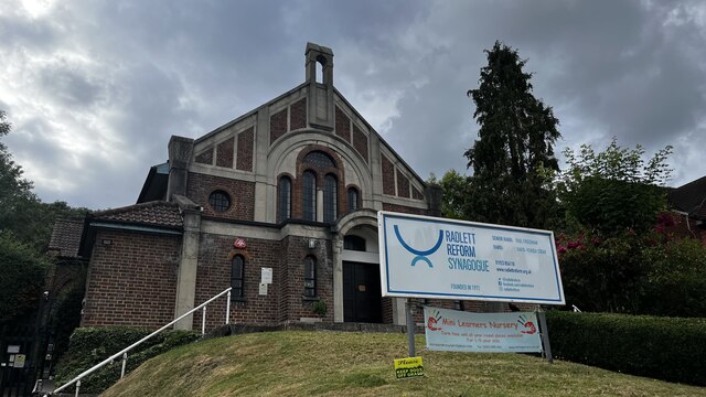
Radlett Reform Synagogue
Radlett Reform Synagogue is a synagogue in Radlett, Hertfordshire, England. It is affiliated to the Movement for Reform Judaism. Its current Senior Rabbi...

Letchmore Heath
Letchmore Heath is a village in Hertfordshire in England, situated about three miles east of Watford. == General == The village, consisting of about 150...

Edge Grove School
Edge Grove School, simply Edge Grove, is a 3–13 mixed, private, day preparatory school in Aldenham, Watford, Hertfordshire, England. It was established...
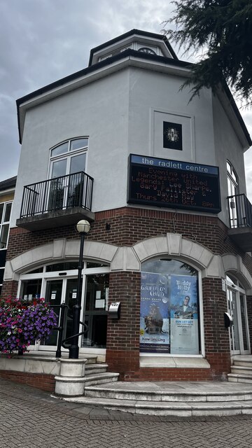
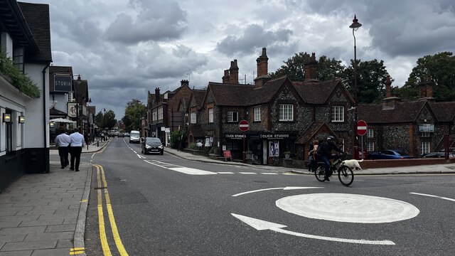
Radlett
Radlett is a village in Hertfordshire, England, between Elstree and St Albans on Watling Street, with a population of 10,060. It is in the council district...

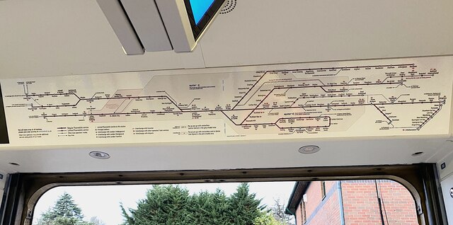
Radlett railway station
Radlett railway station is on the Midland Main Line in England, serving the village of Radlett, Hertfordshire. It is 15 miles 17 chains (24.5 km) down...

Bhaktivedanta Manor
Bhaktivedanta Manor is a Gaudiya Vaishnava Hindu temple set in the Hertfordshire countryside of England, in the village of Letchmore Heath near Watford...

Brunton Memorial Ground
Brunton Memorial Ground is a cricket ground at Radlett in Hertfordshire. The ground is the home of Radlett Cricket Club and, since 2013, has been used...
Aldenham School
Aldenham School is a co-educational independent school for pupils aged eleven to eighteen, located between Elstree and the village of Aldenham in Hertfordshire...
Nearby Amenities
Located within 500m of 51.676521,-0.329146Have you been to Aldenham?
Leave your review of Aldenham below (or comments, questions and feedback).