Alderbury

Civil Parish in Wiltshire

England

Alderbury

Grazing and woodland near Waldon Farm
Grazing and woodland near Waldon Farm Credit: JThomas

Alderbury is a civil parish located in the county of Wiltshire, England. Situated on the banks of the River Avon, it is a scenic area known for its beautiful countryside and charming villages. The parish covers an area of approximately 7 square miles and is home to a population of around 3,500 residents.

The village of Alderbury itself is the main settlement in the parish and offers a range of amenities and services for its residents. It has a primary school, a village hall, a post office, and a small selection of shops and businesses. The local community is closely knit, with various social and sports clubs providing opportunities for residents to engage in activities and events.

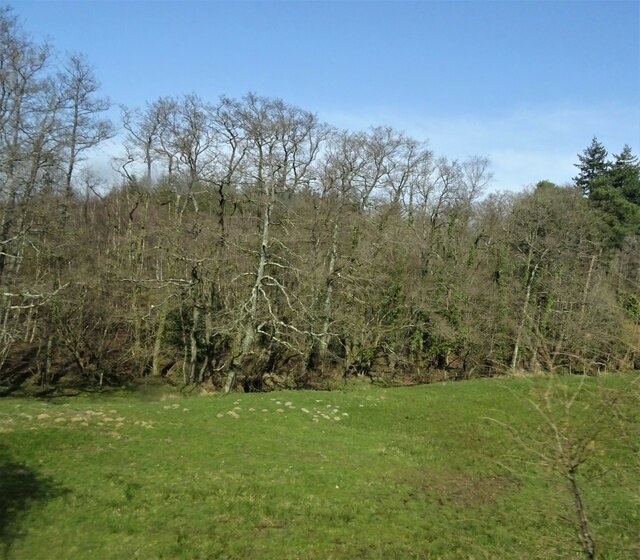
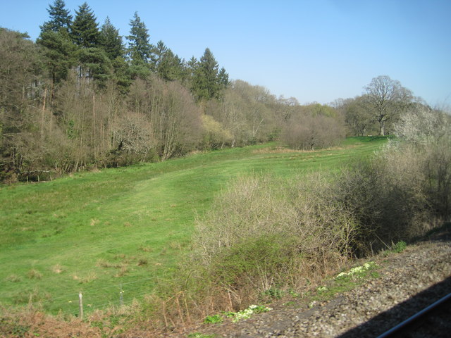
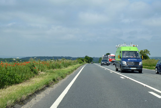
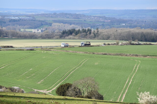
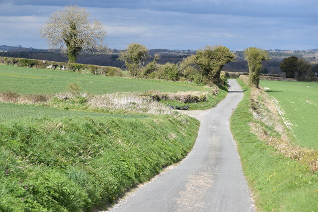
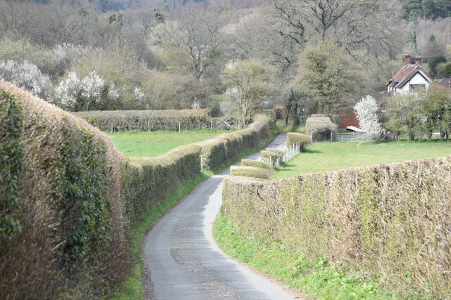
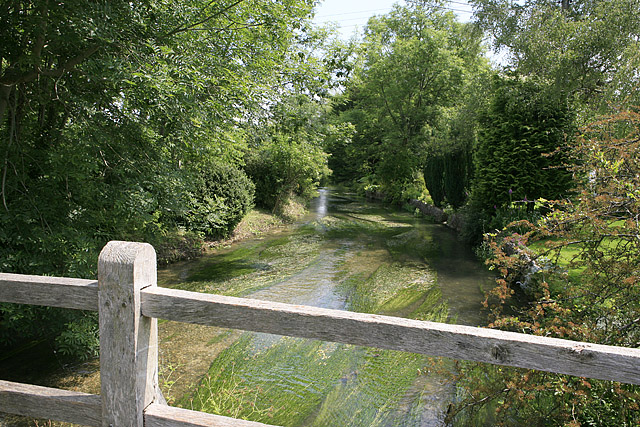
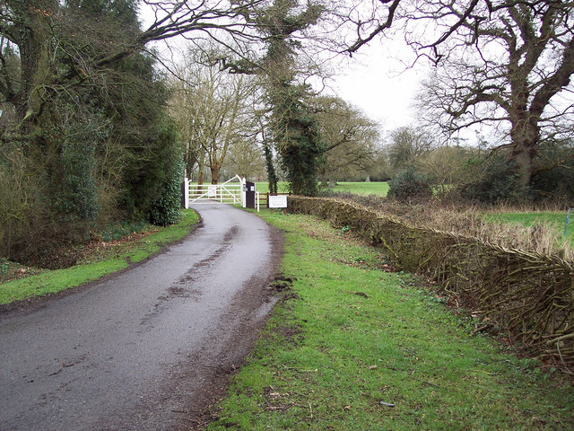
The surrounding countryside is a notable feature of Alderbury. The area is characterized by rolling hills, lush green fields, and picturesque woodlands. It is a popular destination for outdoor enthusiasts, offering ample opportunities for hiking, cycling, and wildlife spotting. The River Avon also provides a tranquil setting for fishing and boating.

Historically, Alderbury has a rich heritage, with evidence of human settlement dating back to the Roman period. The parish boasts several historic buildings, including the Grade I listed St. Mary's Church, which dates back to the 12th century. The area is also known for its traditional thatched cottages and period houses, adding to its charm and character.

Overall, Alderbury, Wiltshire, offers a peaceful and idyllic setting for its residents, combining natural beauty with a strong sense of community and history.

If you have any feedback on the listing, please let us know in the comments section below.
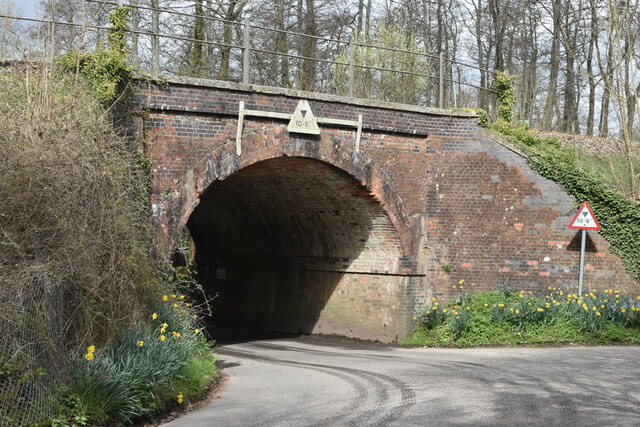
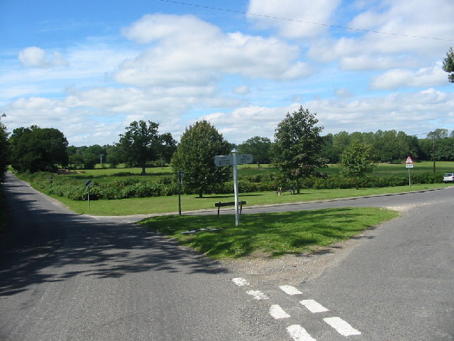
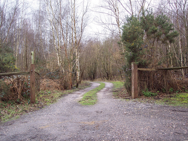
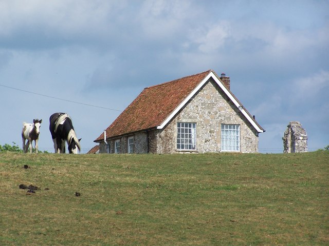
Alderbury Images

Images are sourced within 2km of 51.036858/-1.730281 or Grid Reference SU1926. Thanks to Geograph Open Source API. All images are credited.

Grazing and woodland near Waldon Farm
Steam train at West Grimstead Ex Southern Railway S15 4-6-0 No. E828 about to cross Green Drove bridge at West Grimstead.  The loco was hauling an Eastleigh to Salisbury local railtour.
Steam train at West Grimstead
Ex Southern Railway S15 4-6-0 No. E828 about to cross Green Drove bridge at West Grimstead. The loco was hauling an Eastleigh to Salisbury local railtour.
A36 down the hill towards Whaddon
View from a Southampton-Salisbury train - Field near Waldon Farm
A36 on Witherington Down Heading towards Salisbury, with most of the traffic here coming the other way.
A36 on Witherington Down
Heading towards Salisbury, with most of the traffic here coming the other way.
View from Pepperbox Hill The two lorries are on the A36 southbound and Longford Castle is to the left, with Salisbury District Hospital beyond.
View from Pepperbox Hill
The two lorries are on the A36 southbound and Longford Castle is to the left, with Salisbury District Hospital beyond.
Windwhistle Lane, descending towards West Grimstead
Windwhistle Lane, approaching Broadmead Farm
Railway arch at West Grimstead
Junction of Grimstead Road and Crockford Road, West Grimstead At this peaceful green at the western end of the village, the signpost indicates West Grimstead / West Dean to the left (towards the photographer) and East Grimstead / Farley to the right. The road ahead to the left leads to the A36 at Whaddon.
Junction of Grimstead Road and Crockford Road, West Grimstead
At this peaceful green at the western end of the village, the signpost indicates West Grimstead / West Dean to the left (towards the photographer) and East Grimstead / Farley to the right. The road ahead to the left leads to the A36 at Whaddon.
Entrance to Waldon Farm Fishing Lakes
West Grimstead Chapel
West Grimstead : Houses & Gardens
View towards West Grimstead Taken from a field entrance on Windwhistle Lane
View towards West Grimstead
Taken from a field entrance on Windwhistle Lane
Trees on Windwhistle Lane, view towards West Grimstead
A field of stubble West of Pepperbox Hill and north of Witherington Down.
A field of stubble
West of Pepperbox Hill and north of Witherington Down.
Lay-by on the A36 which is heading towards Southampton Near Pepperbox Hill.
Lay-by on the A36 which is heading towards Southampton
Near Pepperbox Hill.
Monk's lake One of several picturesque private fishing lakes on the Walden Estate
Monk's lake
One of several picturesque private fishing lakes on the Walden Estate
Show me another place!

Alderbury is located at Grid Ref: SU1926 (Lat: 51.036858, Lng: -1.730281)

Unitary Authority: Wiltshire

Police Authority: Wiltshire

What 3 Words

///stocked.kidney.feared. Near Alderbury, Wiltshire

Related Wikis

Alderbury

Alderbury is a village and civil parish in Wiltshire, England, in the south of the county around 3 miles (5 km) southeast of Salisbury.The parish includes...

Ivychurch Priory

Ivychurch Priory was a medieval monastic house in Alderbury, southeast of Salisbury, Wiltshire, England. According to Historic England, "all that remains...

Witherington

Witherington is a small settlement in Wiltshire, England, in the extreme south-east of the county, a tithing of the civil parish of Downton. Although surveyed...

Longford Castle

Longford Castle is a Grade I listed country house on the banks of the River Avon south of Salisbury, Wiltshire, England. It is the seat of the Earl of...

River Ebble

The River Ebble is one of the five rivers of the English city of Salisbury. Rising at Alvediston to the west of the city, it joins the River Avon at Bodenham...

West Grimstead

West Grimstead is a village in the civil parish of Grimstead, on the River Dun in Wiltshire, England, about 4.5 miles (7.2 km) southeast of Salisbury....

Clarendon Park, Wiltshire

Clarendon Park is a Grade I listed building, estate and civil parish near Salisbury in Wiltshire, England. At the 2011 census the population of the parish...

Britford Water Meadows

Britford Water Meadows (grid reference SU166274) is a biological Site of Special Scientific Interest at Britford, south of Salisbury in Wiltshire. It has...

Nearby Amenities

Located within 500m of 51.036858,-1.730281
Pigeon Hill
Place: locality
Source: OS_OpenData_StreetView
Lat/Long: 51.0397636/-1.7324217
Turning Circle
Source: Bing
Lat/Long: 51.0399564/-1.7323906
Barrier: bollard
Foot: yes
Motor Vehicle: no
Lat/Long: 51.0393023/-1.7273422
Whaddon
Place: village
Lat/Long: 51.0406995/-1.7292592
Alderbury Village Stores
Shop: convenience
Lat/Long: 51.0390167/-1.7265225
Barrier: stile
Lat/Long: 51.0366838/-1.7256904
Bus Stop
Alderbury Village Hall
Bus: yes
Departures Board: realtime
Naptan AtcoCode: 4600WIA12278
Naptan Bearing: SE
Naptan CommonName: Village Hall
Naptan Indicator: opp
Naptan NaptanCode: wildjtgd
Naptan PlusbusZoneRef: SLSBRY
Naptan Street: Southampton Road
Naptan Verified: no
Operator: Salisbury Reds
Public Transport: platform
Shelter: yes
Tactile Paving: no
Lat/Long: 51.0400169/-1.7274534
Bus Stop
Alderbury Village Hall
Bench: yes
Bus: yes
Departures Board: realtime
Naptan AtcoCode: 4600WIA12279
Naptan Bearing: NW
Naptan CommonName: Village Hall
Naptan Indicator: NW-bound
Naptan NaptanCode: wildjtgm
Naptan PlusbusZoneRef: SLSBRY
Naptan Street: Southampton Road
Naptan Verified: no
Operator: Salisbury Reds
Public Transport: platform
Shelter: yes
Tactile Paving: no
Lat/Long: 51.0399971/-1.7275464
Post Box
Collection Times: Mo-Fr 09:00, Sa 07:00
Post Box Type: lamp
Ref: SP5 397D
Royal Cypher: GVIR
Royal Cypher Wikidata: Q33102169
Lat/Long: 51.0399021/-1.7276163
Bicycle Parking
Bicycle Parking: stands
Capacity: 8
Covered: no
Lat/Long: 51.0399557/-1.7276421
Ford: yes
Lat/Long: 51.0376216/-1.7350664
Defibrillator
Defibrillator Location: Attached to the exterior wall of the village hall to the right of the main entrance.
Emergency: defibrillator
Indoor: no
Operator: www.aivia.eu
Lat/Long: 51.0399132/-1.7279947
Bus Stop
Avon Drive
Bus: yes
Departures Board: timetable
Naptan AtcoCode: 460000387
Naptan Bearing: NW
Naptan CommonName: Old Police Station
Naptan Indicator: NW-bound
Naptan NaptanCode: wilgagmj
Naptan Street: Southampton Road
Naptan Verified: no
Public Transport: platform
Shelter: no
Lat/Long: 51.038559/-1.7241128
Bus Stop
Avon Drive
Bus: yes
Departures Board: timetable
Naptan AtcoCode: 4600WIA12280
Naptan Bearing: SE
Naptan CommonName: Old Police Station
Naptan Indicator: SE-bound
Naptan NaptanCode: wildjtmt
Naptan PlusbusZoneRef: SLSBRY
Naptan Street: Southampton Road
Naptan Verified: no
Public Transport: platform
Lat/Long: 51.0386348/-1.724066
Alderbury, Whaddon Boundary Line
Traffic Sign: city_limit
Lat/Long: 51.0403091/-1.7279056
Barrier: kissing_gate
Lat/Long: 51.0373895/-1.7335146
Ford: yes
Lat/Long: 51.0373661/-1.7334457
Barrier: stile
Lat/Long: 51.0376558/-1.7366356
Rumboll's Row
Place: locality
Lat/Long: 51.0347369/-1.7341898
The data included in this document is from www.openstreetmap.org. The data is made available under ODbL.

Have you been to Alderbury?

Leave your review of Alderbury below (or comments, questions and feedback).