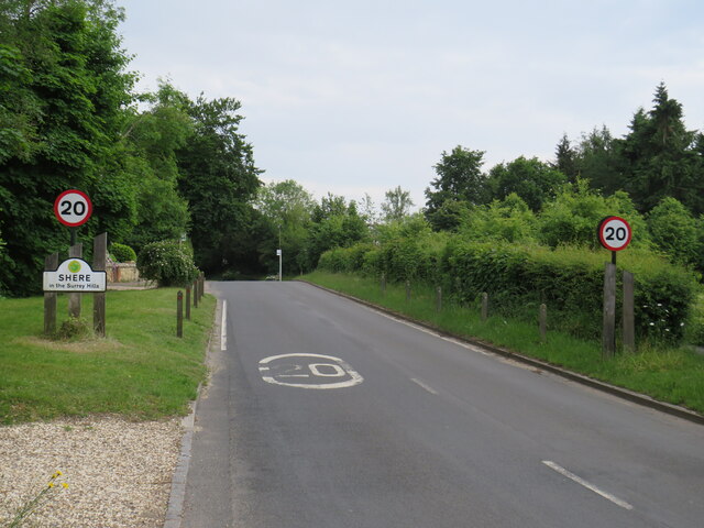
Albury

Civil Parish in Surrey Guildford

England

Albury

No. 35028 'Clan Line' with the Belmond British Pullman No. 35028 'Clan Line' approaches the Sandy Lane bridge near Shere with the Belmond British Pullman circular dining tour from Victoria via Guildford.
No. 35028 'Clan Line' with the Belmond British Pullman Credit: Bob Walters

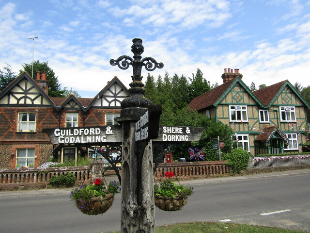
Albury is a civil parish located in the county of Surrey in England. It is situated approximately 5 miles east of Guildford and covers an area of around 2.5 square miles. The parish is primarily rural, characterized by rolling hills, open fields, and picturesque countryside views.

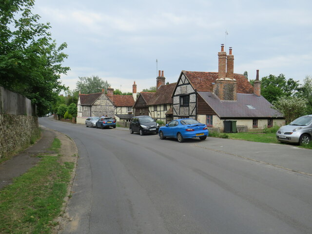
Albury is known for its rich history, with evidence of human habitation dating back to the Mesolithic period. The village itself dates back to the medieval era and features several historic buildings, including the Grade I listed Albury Park Mansion and St. Peter and St. Paul's Church, which dates back to the 12th century.

The village is relatively small, with a population of around 700 residents. It has a close-knit community and a peaceful and tranquil atmosphere. The area is popular with outdoor enthusiasts, offering numerous walking and cycling routes through its beautiful countryside.

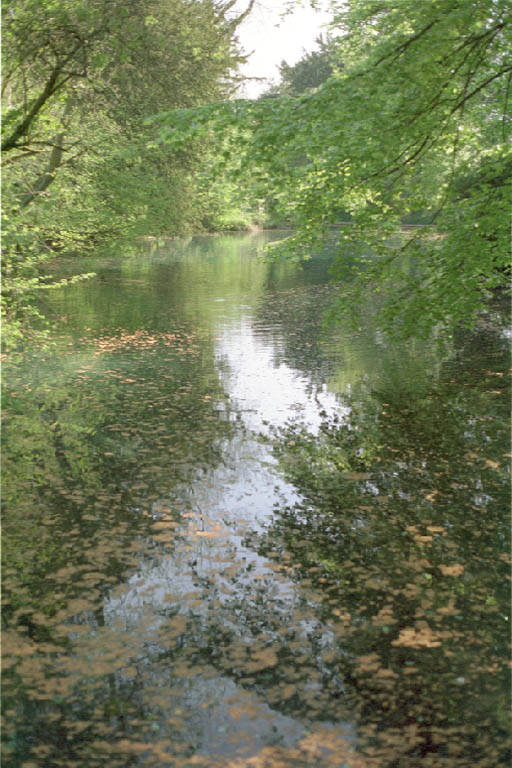
Albury is also home to the Albury Estate, a privately owned estate that covers a large portion of the parish. The estate features a diverse range of habitats, including woodlands, meadows, and ponds, attracting a variety of wildlife.

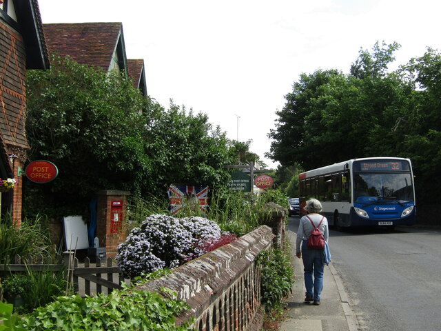
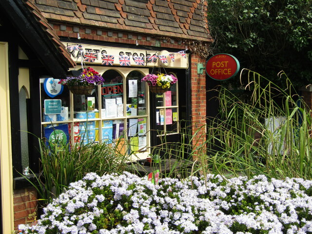
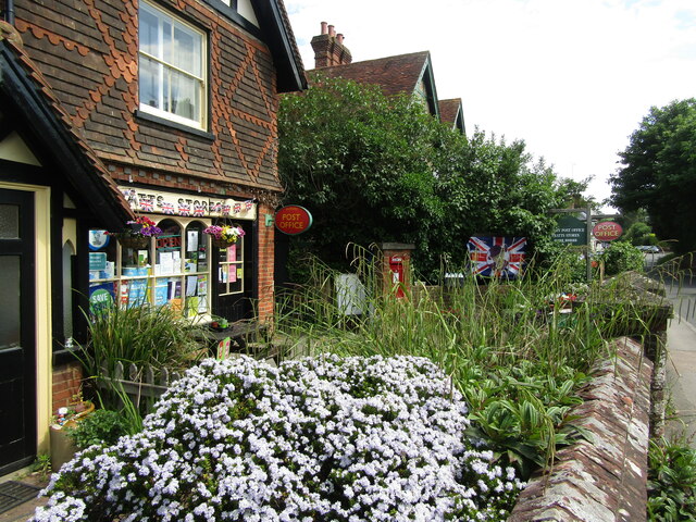
In terms of amenities, Albury has a village hall, a primary school, and a pub, providing essential services for its residents. The village is well-connected, with good road links to nearby towns and villages, making it a convenient location for those seeking a countryside lifestyle while still having access to urban amenities.

Overall, Albury offers a charming and idyllic rural setting, rich in history and natural beauty, making it a desirable place to live or visit for those seeking a peaceful retreat in the Surrey countryside.

If you have any feedback on the listing, please let us know in the comments section below.
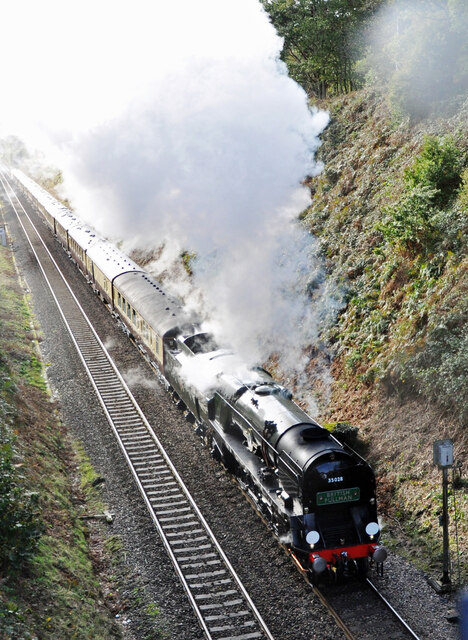
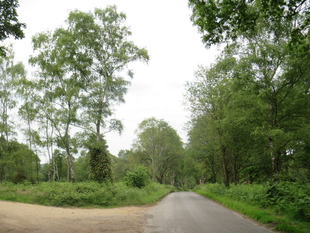
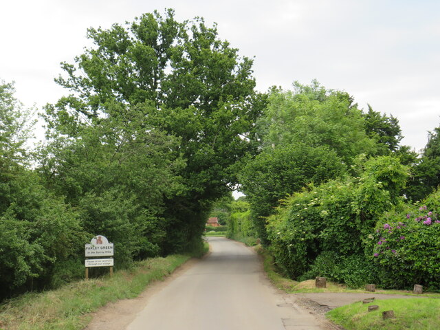
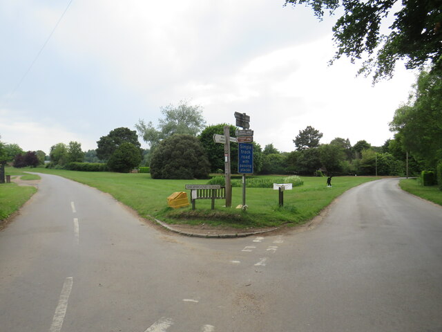
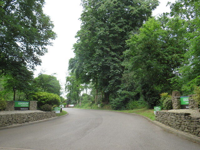
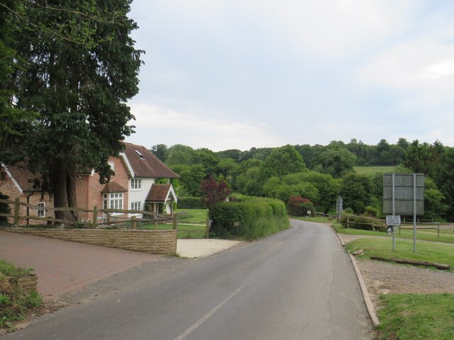
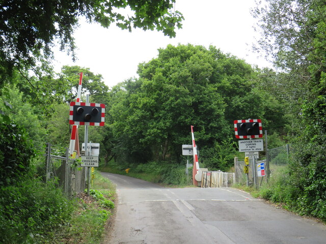
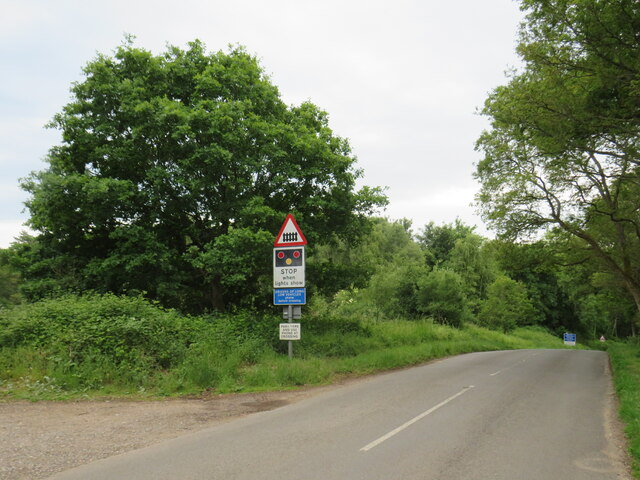
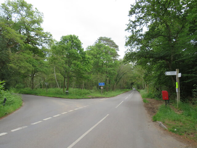
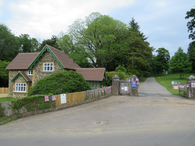
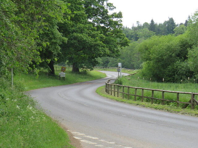
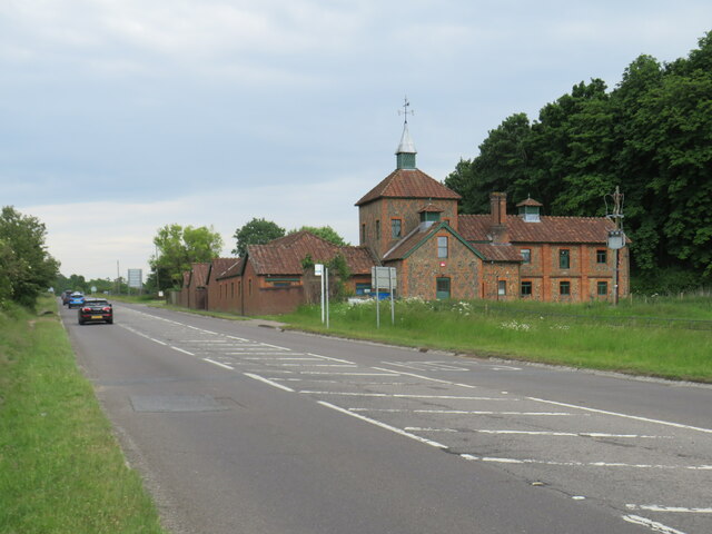
Albury Images

Images are sourced within 2km of 51.211763/-0.492422 or Grid Reference TQ0546. Thanks to Geograph Open Source API. All images are credited.

No. 35028 'Clan Line' with the Belmond British Pullman No. 35028 'Clan Line' approaches the Sandy Lane bridge near Shere with the Belmond British Pullman circular dining tour from Victoria via Guildford.
No. 35028 'Clan Line' with the Belmond British Pullman
No. 35028 'Clan Line' approaches the Sandy Lane bridge near Shere with the Belmond British Pullman circular dining tour from Victoria via Guildford.
Farley Heath Road, near Farley Green Farley Heath Road is a minor road passing through Surrey countryside.  It is on route 22 of the National Cycle Network
Farley Heath Road, near Farley Green
Farley Heath Road is a minor road passing through Surrey countryside. It is on route 22 of the National Cycle Network
August Lane, Farley Green August Lane entering the small hamlet of Farley Green in Surrey.  This road is on route 22 of the National Cycle Network.
August Lane, Farley Green
August Lane entering the small hamlet of Farley Green in Surrey. This road is on route 22 of the National Cycle Network.
Road junction at Farley Green A road junction in the Surrey hamlet of Farley Green.  The road to the right is on route 22 of the National Cycle Network.
Road junction at Farley Green
A road junction in the Surrey hamlet of Farley Green. The road to the right is on route 22 of the National Cycle Network.
Caravan park entrance, Farley Green, near Guildford The entrance to Edgeley caravan park in the Surrey countryside.
Caravan park entrance, Farley Green, near Guildford
The entrance to Edgeley caravan park in the Surrey countryside.
New Road, Brook, near Guildford New Road passing through the hamlet of Brook, near Guildford.
New Road, Brook, near Guildford
New Road passing through the hamlet of Brook, near Guildford.
Level crossing at Brook, near Guildford A level crossing on the North Downs Line at Brook, near Guildford.  Train services on this railway line connect Reading and Guildford with Dorking, Redhill and Gatwick Airport
Level crossing at Brook, near Guildford
A level crossing on the North Downs Line at Brook, near Guildford. Train services on this railway line connect Reading and Guildford with Dorking, Redhill and Gatwick Airport
New Road, near Albury New Road in Surrey countryside, close to the village of Albury.  The road sign warns of a railway level crossing ahead.
New Road, near Albury
New Road in Surrey countryside, close to the village of Albury. The road sign warns of a railway level crossing ahead.
Road junction near Albury A junction of minor roads in the Surrey Hills, near the village of Albury.
Road junction near Albury
A junction of minor roads in the Surrey Hills, near the village of Albury.
Albury Park entrance and lodge An entrance to Albury Park, in Surrey.  The building to the left of the entrance is a lodge.
Albury Park entrance and lodge
An entrance to Albury Park, in Surrey. The building to the left of the entrance is a lodge.
A248 road at Albury A double bend on the A248 road as it enters the village of Albury.
A248 road at Albury
A double bend on the A248 road as it enters the village of Albury.
A25 road near Albury A view eastwards along the A25 road between Albury and Shere in Surrey.  The building on the opposite side of the road is Home Farm.
A25 road near Albury
A view eastwards along the A25 road between Albury and Shere in Surrey. The building on the opposite side of the road is Home Farm.
Upper Street, Shere Upper Street entering the village of Shere in Surrey.  The speed limit drops to 20 miles per hour through the village.
Upper Street, Shere
Upper Street entering the village of Shere in Surrey. The speed limit drops to 20 miles per hour through the village.
Upper Street, Shere Upper Street in the Surrey village of Shere.
Upper Street, Shere
Upper Street in the Surrey village of Shere.
Albury - Village Centre A narrow pavement outside Albury's post office with a Stagecoach bus (Route 32) passing by on its hourly service from Redhill to Guildford.
Albury - Village Centre
A narrow pavement outside Albury's post office with a Stagecoach bus (Route 32) passing by on its hourly service from Redhill to Guildford.
Albury - Post Office The village post office cohabits with Pratt's Stores. Note the flags are out to commemorate the Queen's Platinum Jubilee (2022).
Albury - Post Office
The village post office cohabits with Pratt's Stores. Note the flags are out to commemorate the Queen's Platinum Jubilee (2022).
Albury - Pratt's Stores The village stores shares its premises with the Post Office. Note the flags commemorating the Queen's Platinum Jubilee (1952-2022).
Albury - Pratt's Stores
The village stores shares its premises with the Post Office. Note the flags commemorating the Queen's Platinum Jubilee (1952-2022).
Albury - Signpost Ornate wooden signpost at a tripoint showing the roads to Guildford, Dorking and Albury Church.
Albury - Signpost
Ornate wooden signpost at a tripoint showing the roads to Guildford, Dorking and Albury Church.
Show me another place!

Albury is located at Grid Ref: TQ0546 (Lat: 51.211763, Lng: -0.492422)

Administrative County: Surrey

District: Guildford

Police Authority: Surrey

What 3 Words

///film.snack.soup. Near Chilworth, Surrey

Related Wikis

Albury, Surrey

Albury is a village and civil parish in central Surrey, England, around 3.5 miles (5.6 km) east of Guildford. It is in the Surrey Hills Area of Outstanding...

Albury Park

Albury Park is a country park and Grade II* listed historic country house (Albury Park Mansion) in Surrey, England. It covers over 150 acres (0.61 km2...

Old St Peter and St Paul's Church, Albury

Old St Peter and St Paul's Church is a former Anglican church near the village of Albury, Surrey, England in the care of The Churches Conservation Trust...

Surrey Hills AONB

The Surrey Hills is a 422 km2 (163 sq mi) Area of Outstanding Natural Beauty (AONB) in Surrey, England, which principally covers parts of the North Downs...

Farley Green, Surrey

Farley Green is a small hamlet of Albury in the Greensand Ridge where it forms the south of the Surrey Hills AONB, to the south east of Guildford. �...

Blackheath Common

Blackheath Common is an area of 250 acres (100 ha) of heathland in Surrey, England, near the village of Albury in the borough of Waverley. It is part of...

Silent Pool

Silent Pool is a spring-fed lake at the foot of the North Downs, about 4 miles (6 km) east of Guildford in Surrey. The outflow from Silent Pool runs into...

Blackheath SSSI, Surrey

Blackheath is a 141.6-hectare (350-acre) biological Site of Special Scientific Interest south-east of Guildford in Surrey.This area of dry lowland heath...

Nearby Amenities

Located within 500m of 51.211763,-0.492422
Albury Heath
Natural: heath
Source: npe
Lat/Long: 51.2093441/-0.486587
Barrier: kissing_gate
Lat/Long: 51.2089692/-0.4958762
Crossing: uncontrolled
Railway: crossing
Supervised: no
Lat/Long: 51.2103101/-0.4963088
Crossing: uncontrolled
Railway: crossing
Supervised: no
Lat/Long: 51.2103378/-0.4962865
Power: pole
Source: gps;Bing
Lat/Long: 51.2092271/-0.4960417
Power: pole
Source: gps;Bing
Lat/Long: 51.2093333/-0.4955847
Power: pole
Source: gps;Bing
Lat/Long: 51.209457/-0.4948681
Barrier: stile
Lat/Long: 51.2132627/-0.4951484
Steve's Spot
Description: Steve'e Spot - lovely view over North Downs
Direction: 180
Tourism: viewpoint
Lat/Long: 51.2134021/-0.494508
Direction: 180
Tourism: viewpoint
Lat/Long: 51.2143973/-0.4981768
Power: pole
Source: gps;Bing
Lat/Long: 51.2097972/-0.4983732
Power: pole
Source: gps;Bing
Lat/Long: 51.210192/-0.4988506
Kiln Rough
Natural: wood
Lat/Long: 51.2101266/-0.4907992
Disused: yes
Man Made: kiln
Product: lime
Lat/Long: 51.2100978/-0.4899489
Barrier: yes
Lat/Long: 51.208491/-0.4922071
The data included in this document is from www.openstreetmap.org. The data is made available under ODbL.

Have you been to Albury?

Leave your review of Albury below (or comments, questions and feedback).