Albury Heath

Settlement in Surrey Guildford

England

Albury Heath

No. 35028 'Clan Line' with the Belmond British Pullman No. 35028 'Clan Line' approaches the Sandy Lane bridge near Shere with the Belmond British Pullman circular dining tour from Victoria via Guildford.
No. 35028 'Clan Line' with the Belmond British Pullman Credit: Bob Walters

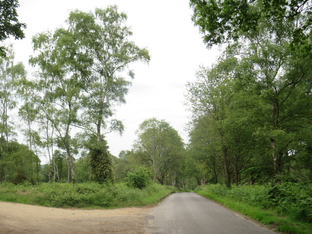
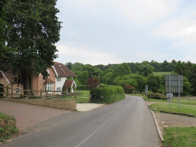
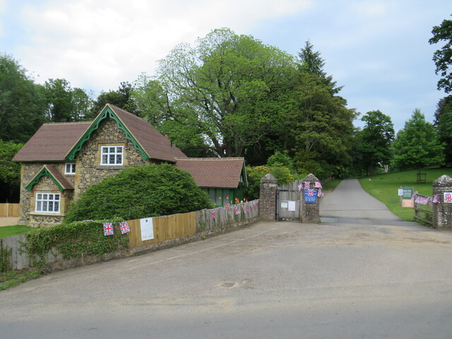
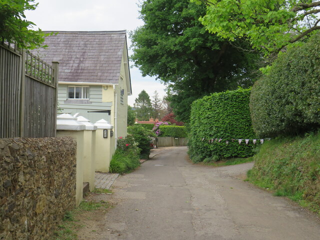
Albury Heath is a picturesque area located in the county of Surrey, England. Situated just outside the village of Albury, it is known for its stunning natural beauty and tranquil atmosphere. The heath is bordered by dense woodlands and rolling hills, creating a serene and idyllic environment for visitors.

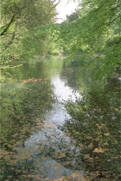
Covering an area of approximately 100 hectares, Albury Heath boasts a diverse range of habitats, including heathland, woodland, and wetland areas. This diversity attracts a wide array of flora and fauna, making it a popular destination for nature enthusiasts and birdwatchers. Visitors can expect to spot various species of birds, such as the stonechat, nightjar, and woodlark, among others.

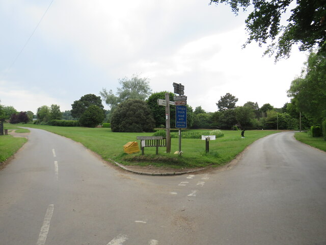
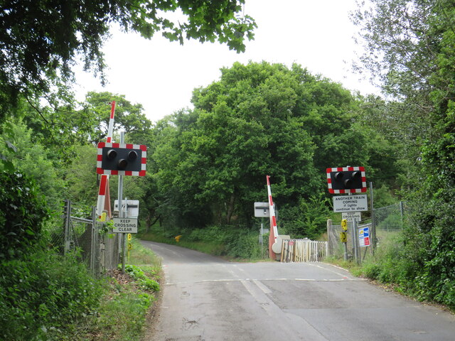
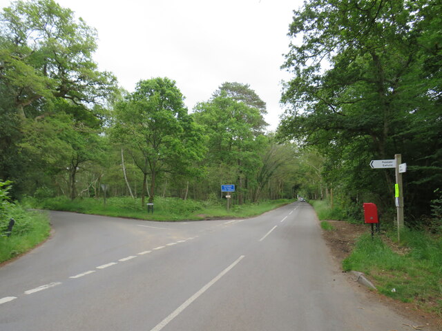
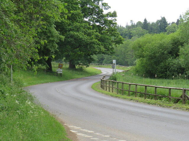
The heath is crisscrossed with well-maintained footpaths and bridleways, making it an excellent location for walking, cycling, and horse riding. Its extensive network of trails allows visitors to explore and enjoy the stunning countryside views that Surrey is renowned for. Additionally, the area is home to a number of picnic spots, providing a perfect setting for a leisurely outdoor meal.

Albury Heath is also steeped in history, with evidence of human habitation dating back to the Bronze Age. The remnants of ancient burial mounds and stone circles can still be seen today, adding an intriguing historical dimension to the area.

Overall, Albury Heath offers a haven of natural beauty and tranquility. Its diverse habitats, scenic trails, and rich history make it a must-visit destination for those seeking a break from the hustle and bustle of everyday life.

If you have any feedback on the listing, please let us know in the comments section below.
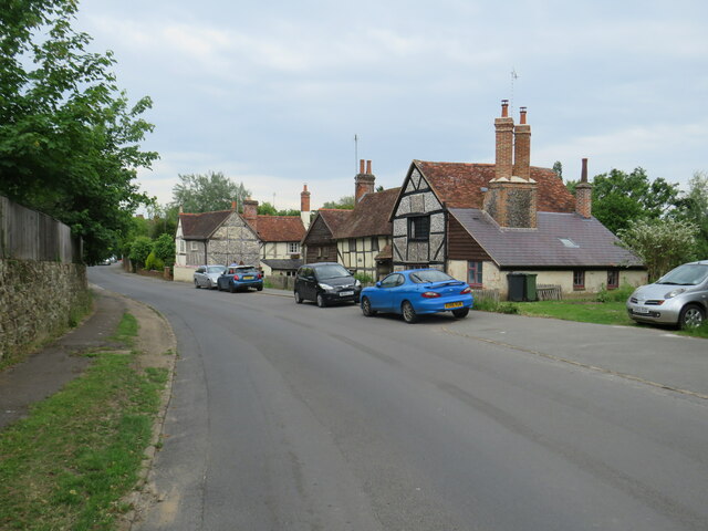
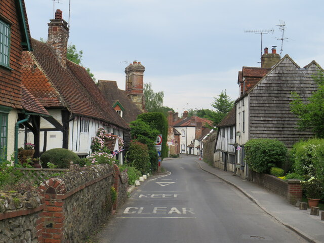
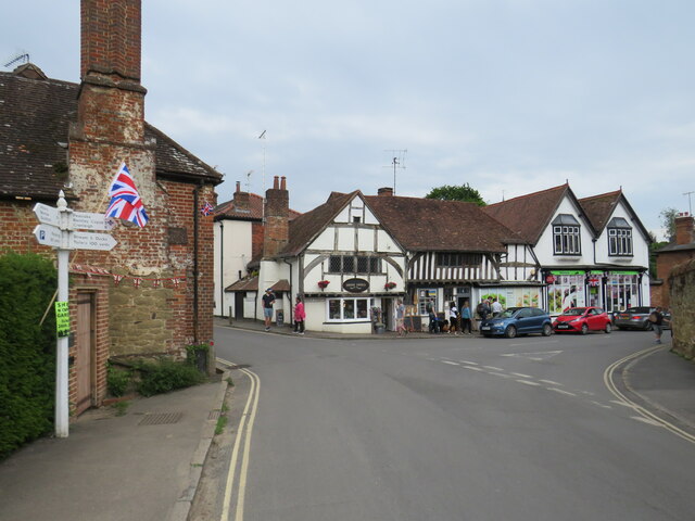
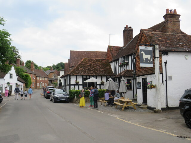
Albury Heath Images

Images are sourced within 2km of 51.20913/-0.485579 or Grid Reference TQ0546. Thanks to Geograph Open Source API. All images are credited.

No. 35028 'Clan Line' with the Belmond British Pullman No. 35028 'Clan Line' approaches the Sandy Lane bridge near Shere with the Belmond British Pullman circular dining tour from Victoria via Guildford.
No. 35028 'Clan Line' with the Belmond British Pullman
No. 35028 'Clan Line' approaches the Sandy Lane bridge near Shere with the Belmond British Pullman circular dining tour from Victoria via Guildford.
Farley Heath Road, near Farley Green Farley Heath Road is a minor road passing through Surrey countryside.  It is on route 22 of the National Cycle Network
Farley Heath Road, near Farley Green
Farley Heath Road is a minor road passing through Surrey countryside. It is on route 22 of the National Cycle Network
August Lane, Farley Green August Lane entering the small hamlet of Farley Green in Surrey.  This road is on route 22 of the National Cycle Network.
August Lane, Farley Green
August Lane entering the small hamlet of Farley Green in Surrey. This road is on route 22 of the National Cycle Network.
Road junction at Farley Green A road junction in the Surrey hamlet of Farley Green.  The road to the right is on route 22 of the National Cycle Network.
Road junction at Farley Green
A road junction in the Surrey hamlet of Farley Green. The road to the right is on route 22 of the National Cycle Network.
Caravan park entrance, Farley Green, near Guildford The entrance to Edgeley caravan park in the Surrey countryside.
Caravan park entrance, Farley Green, near Guildford
The entrance to Edgeley caravan park in the Surrey countryside.
New Road, Brook, near Guildford New Road passing through the hamlet of Brook, near Guildford.
New Road, Brook, near Guildford
New Road passing through the hamlet of Brook, near Guildford.
Level crossing at Brook, near Guildford A level crossing on the North Downs Line at Brook, near Guildford.  Train services on this railway line connect Reading and Guildford with Dorking, Redhill and Gatwick Airport
Level crossing at Brook, near Guildford
A level crossing on the North Downs Line at Brook, near Guildford. Train services on this railway line connect Reading and Guildford with Dorking, Redhill and Gatwick Airport
New Road, near Albury New Road in Surrey countryside, close to the village of Albury.  The road sign warns of a railway level crossing ahead.
New Road, near Albury
New Road in Surrey countryside, close to the village of Albury. The road sign warns of a railway level crossing ahead.
Road junction near Albury A junction of minor roads in the Surrey Hills, near the village of Albury.
Road junction near Albury
A junction of minor roads in the Surrey Hills, near the village of Albury.
Albury Park entrance and lodge An entrance to Albury Park, in Surrey.  The building to the left of the entrance is a lodge.
Albury Park entrance and lodge
An entrance to Albury Park, in Surrey. The building to the left of the entrance is a lodge.
A248 road at Albury A double bend on the A248 road as it enters the village of Albury.
A248 road at Albury
A double bend on the A248 road as it enters the village of Albury.
A25 road near Albury A view eastwards along the A25 road between Albury and Shere in Surrey.  The building on the opposite side of the road is Home Farm.
A25 road near Albury
A view eastwards along the A25 road between Albury and Shere in Surrey. The building on the opposite side of the road is Home Farm.
Upper Street, Shere Upper Street entering the village of Shere in Surrey.  The speed limit drops to 20 miles per hour through the village.
Upper Street, Shere
Upper Street entering the village of Shere in Surrey. The speed limit drops to 20 miles per hour through the village.
Upper Street, Shere Upper Street in the Surrey village of Shere.
Upper Street, Shere
Upper Street in the Surrey village of Shere.
Upper Street, Shere Upper Street in the Surrey village of Shere.
Upper Street, Shere
Upper Street in the Surrey village of Shere.
Shere village centre A road junction in the centre of the village of Shere in Surrey.
Shere village centre
A road junction in the centre of the village of Shere in Surrey.
Middle Street, Shere Middle Street in the village of Shere in Surrey.  To the right of the image is a pub called The White Horse.
Middle Street, Shere
Middle Street in the village of Shere in Surrey. To the right of the image is a pub called The White Horse.
The Spinning Walk, Shere The Spinning Walk, in the village of Shere, is on route 22 of the National Cycle Network.
The Spinning Walk, Shere
The Spinning Walk, in the village of Shere, is on route 22 of the National Cycle Network.
Show me another place!

Albury Heath is located at Grid Ref: TQ0546 (Lat: 51.20913, Lng: -0.485579)

Administrative County: Surrey

District: Guildford

Police Authority: Surrey

What 3 Words

///patio.form.plenty. Near Chilworth, Surrey

Related Wikis

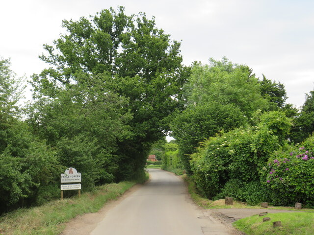
Farley Green, Surrey

Farley Green is a small hamlet of Albury in the Greensand Ridge where it forms the south of the Surrey Hills AONB, to the south east of Guildford. �...

Albury Park

Albury Park is a country park and Grade II* listed historic country house (Albury Park Mansion) in Surrey, England. It covers over 150 acres (0.61 km2...

Old St Peter and St Paul's Church, Albury

Old St Peter and St Paul's Church is a former Anglican church near the village of Albury, Surrey, England in the care of The Churches Conservation Trust...

Surrey Hills AONB

The Surrey Hills is a 422 km2 (163 sq mi) Area of Outstanding Natural Beauty (AONB) in Surrey, England, which principally covers parts of the North Downs...

Albury, Surrey

Albury is a village and civil parish in central Surrey, England, around 3.5 miles (5.6 km) east of Guildford. It is in the Surrey Hills Area of Outstanding...
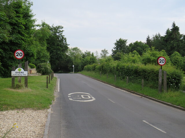
Shere

Shere is a village in the Guildford district of Surrey, England 4.8 miles (7.7 km) east south-east of Guildford and 5.4 miles (8.7 km) west of Dorking...

Silent Pool

Silent Pool is a spring-fed lake at the foot of the North Downs, about 4 miles (6 km) east of Guildford in Surrey. The outflow from Silent Pool runs into...

Blackheath Common

Blackheath Common is an area of 250 acres (100 ha) of heathland in Surrey, England, near the village of Albury in the borough of Waverley. It is part of...

Nearby Amenities

Located within 500m of 51.20913,-0.485579
Brook
Place: hamlet
Source: npe
Lat/Long: 51.2069662/-0.4809063
Albury Heath
Natural: heath
Source: npe
Lat/Long: 51.2093441/-0.486587
Post Box
Collection Times: Mo-Fr 16:30; Sa 09:30
Operator: Royal Mail
Post Box Type: lamp
Ref: GU5 111
Royal Cypher: EIIR
Royal Cypher Wikidata: Q33102113
Source: survey
Lat/Long: 51.212565/-0.4842877
Leisure: pitch
Sport: cricket
Lat/Long: 51.2117309/-0.4850828
Albury Heath
Naptan AtcoCode: 40004407362B
Naptan Bearing: N
Naptan BusStopType: CUS
Naptan CommonName: Albury Heath
Naptan Indicator: Just after
Naptan Landmark: Albury Heath
Naptan NaptanCode: suratdtp
Naptan Street: New Road
Naptan Verified: no
Source: naptan_import
Lat/Long: 51.2125787/-0.4842831
Historic: memorial
Lat/Long: 51.2115115/-0.4839559
Tourism: artwork
Lat/Long: 51.2106576/-0.4848954
Bench
Backrest: yes
Material: wood
Seats: 3
Lat/Long: 51.2114489/-0.4841387
Bench
Backrest: yes
Material: wood
Seats: 3
Lat/Long: 51.2115413/-0.4841602
Bench
Backrest: yes
Material: wood
Seats: 3
Lat/Long: 51.2118085/-0.4842594
Bench
Backrest: yes
Material: wood
Seats: 3
Lat/Long: 51.2119177/-0.484297
Bench
Backrest: yes
Material: wood
Seats: 3
Lat/Long: 51.2122773/-0.4845384
Waste Basket
Source: gps
Lat/Long: 51.2124722/-0.4851124
Bench
Lat/Long: 51.2111636/-0.4817682
Kiln Rough
Natural: wood
Lat/Long: 51.2101266/-0.4907992
Disused: yes
Man Made: kiln
Product: lime
Lat/Long: 51.2100978/-0.4899489
Crossing Barrier: half
Railway: level_crossing
Lat/Long: 51.2075034/-0.4827471
Railway: level_crossing
Lat/Long: 51.2074701/-0.4827646
Barrier: yes
Lat/Long: 51.208491/-0.4922071
The data included in this document is from www.openstreetmap.org. The data is made available under ODbL.

Have you been to Albury Heath?

Leave your review of Albury Heath below (or comments, questions and feedback).