Alby Hill

Settlement in Norfolk North Norfolk

England

Alby Hill

All Saints church, Thwaite
All Saints church, Thwaite Credit: Helen Steed

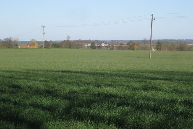
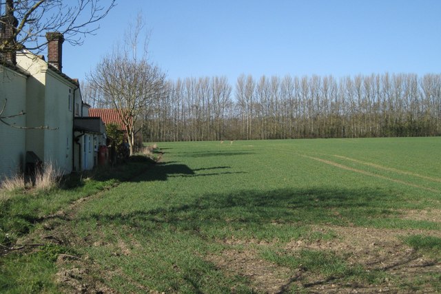
Alby Hill is a picturesque village located in the county of Norfolk, England. Situated in the North Norfolk district, it lies approximately 5 miles south of the market town of Holt. The village is nestled amidst the rolling countryside, offering breathtaking views of the surrounding landscapes.

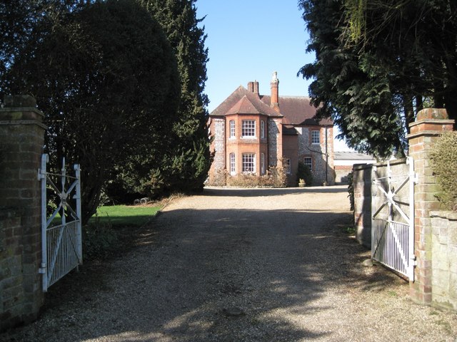
Alby Hill is a small, close-knit community with a population of around 200 residents. The village is renowned for its quaint charm and traditional English character. It boasts a range of period houses and cottages, some dating back several centuries, which add to its timeless appeal.

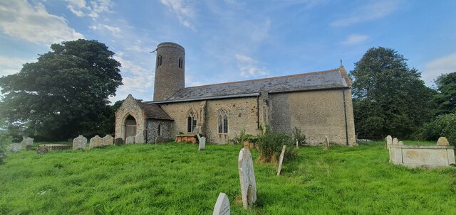
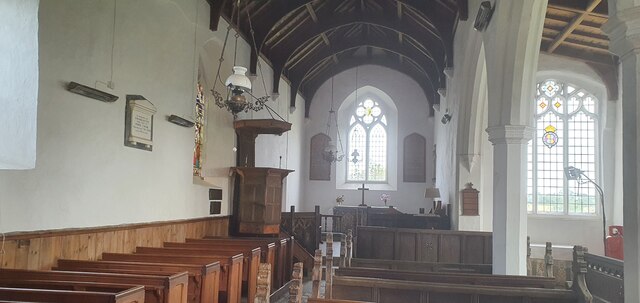
One of the prominent features in Alby Hill is the St Ethelbert’s Church, a beautiful medieval building that stands as a testament to the village's history. The church features striking architecture and holds regular services, attracting both locals and visitors alike.

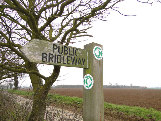
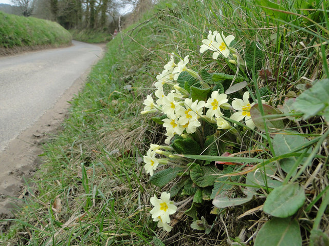
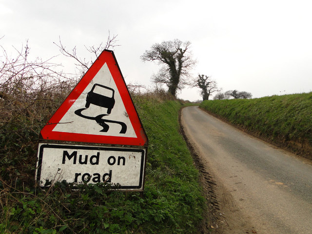
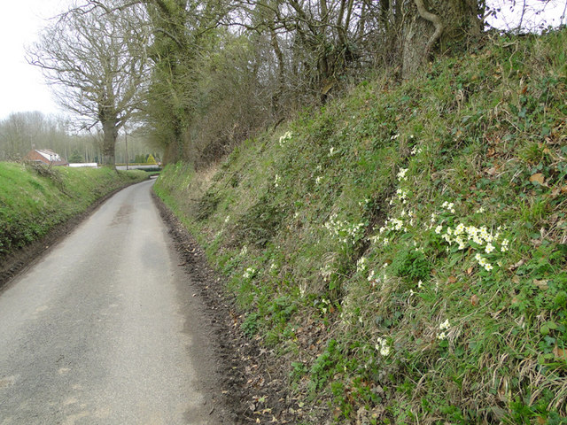
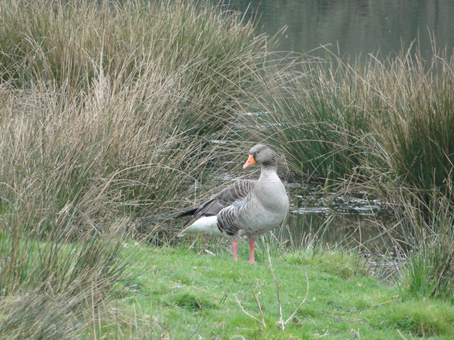
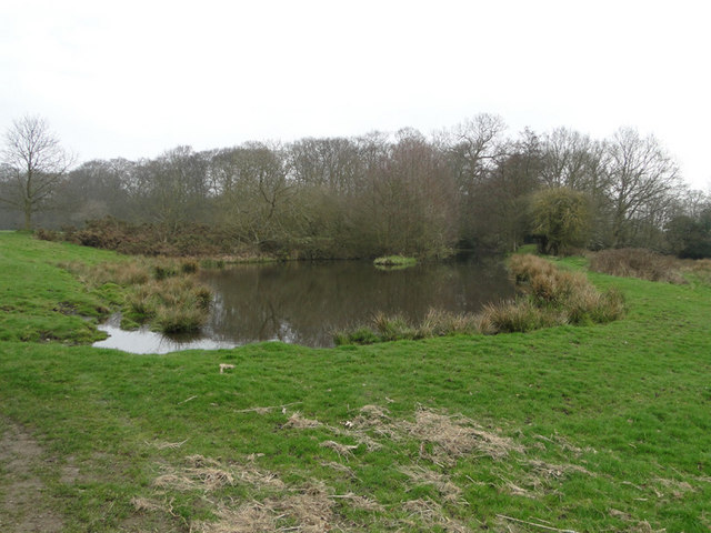
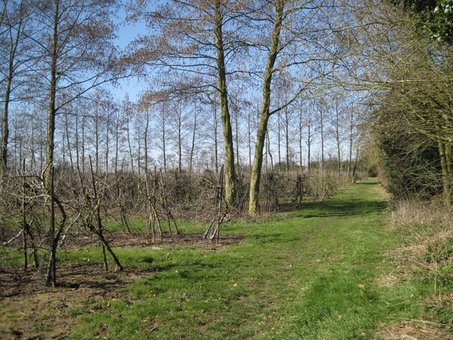
Nature enthusiasts will find Alby Hill a haven, as it is surrounded by scenic countryside, woodlands, and numerous footpaths. The area offers ample opportunities for walking, hiking, and exploring the great outdoors.

Although Alby Hill is a peaceful and tranquil village, it benefits from its close proximity to larger towns, such as Holt and Norwich. This allows residents to enjoy the tranquility of rural life while having convenient access to amenities and services.

In summary, Alby Hill is a charming village in Norfolk, offering a tranquil escape from the hustle and bustle of city life. Its picturesque setting, historic architecture, and natural beauty make it an idyllic place to live or visit.

If you have any feedback on the listing, please let us know in the comments section below.
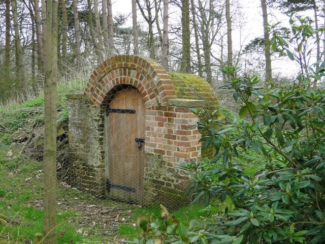
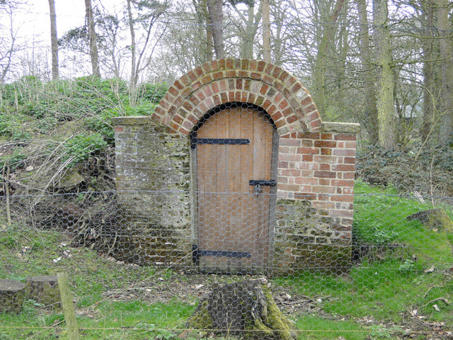
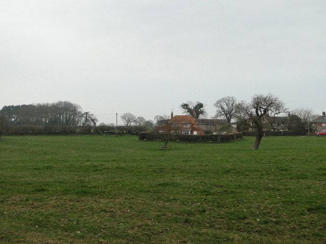
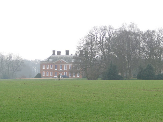
Alby Hill Images

Images are sourced within 2km of 52.861372/1.259292 or Grid Reference TG1934. Thanks to Geograph Open Source API. All images are credited.

All Saints church, Thwaite
Interior of All Saints church, Thwaite
Public Bridleway sign and ploughed fields beyond From Ringbank Lane, which can also be seen in the picture
Public Bridleway sign and ploughed fields beyond
From Ringbank Lane, which can also be seen in the picture
Ringbank Lane, Hanworth with primroses
Mud on Road, Ringbank Lane, Hanworth
Primroses on the bank of Ringbank Lane, Hanworth
Pond at Hanworth
Pond at Hanworth
Pond at Hanworth
Pond at Hanworth
Greylag goose beside the pond at Hanworth
Pond at Hanworth
Pond at Hanworth
Entrance to the ice house in the grounds of Hanworth Hall
Meadowland and house at Hanworth
Winter wheat field with Hanworth Hall in the background
Orchard, mid-March There is a surprising contrast between the lofty windbreaks of Grey Alder (Alnus incana) and the apple trees which appear to be growing on a dwarfing rootstock. Photographed at a junction of public footpaths.
Orchard, mid-March
There is a surprising contrast between the lofty windbreaks of Grey Alder (Alnus incana) and the apple trees which appear to be growing on a dwarfing rootstock. Photographed at a junction of public footpaths.
Edge of a field of grass Beyond the left-hand pole there is another large field; the land falls gently away towards the village of Thurgarton, northwest of Aldborough.
Edge of a field of grass
Beyond the left-hand pole there is another large field; the land falls gently away towards the village of Thurgarton, northwest of Aldborough.
Orchard southwest of Aldborough Across the field rows of poplar and Grey Alder shelter an orchard of dwarfed apple trees. According to OS  the buildings on the left are Manor Farm while Streetmap calls them Old School Cottages with Manor Farm to the north in TG1834: see <a href="https://www.geograph.org.uk/photo/2368507">TG1834 : 'Manor House', Thwaite Road</a> and <a href="https://www.geograph.org.uk/photo/2368519">TG1834 : Community bus at Manor Farm</a>
Orchard southwest of Aldborough
Across the field rows of poplar and Grey Alder shelter an orchard of dwarfed apple trees. According to OS the buildings on the left are Manor Farm while Streetmap calls them Old School Cottages with Manor Farm to the north in TG1834: see TG1834 : 'Manor House', Thwaite Road and TG1834 : Community bus at Manor Farm
'Manor House', Thwaite Road There are farm buildings behind the house. Streetmap identifies this as Manor Farm while OS gives that name to a property to the south which Streetmap calls Old School Cottages <a href="https://www.geograph.org.uk/photo/2368487">TG1833 : Orchard southwest of Aldborough</a>
'Manor House', Thwaite Road
There are farm buildings behind the house. Streetmap identifies this as Manor Farm while OS gives that name to a property to the south which Streetmap calls Old School Cottages TG1833 : Orchard southwest of Aldborough
Show me another place!

Alby Hill is located at Grid Ref: TG1934 (Lat: 52.861372, Lng: 1.259292)

Administrative County: Norfolk

District: North Norfolk

Police Authority: Norfolk

What 3 Words

///wicket.trailing.ordeals. Near Aylsham, Norfolk

Related Wikis

Hanworth, Norfolk

Hanworth is a village and a civil parish in the English county of Norfolk. It is 18.8 miles (30.3 km) north of Norwich, 5.4 miles (8.7 km) south-west of...

Aldborough, Norfolk

Aldborough is a village and former civil parish, now in the parish of Aldborough and Thurgarton (together with Thurgarton), in the North Norfolk district...
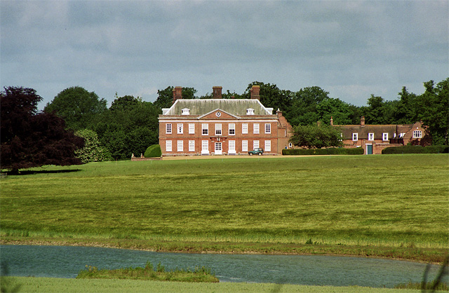
Hanworth Hall

Hanworth Hall is a large late 17th century country house some 500m to the south of the village of Hanworth, Norfolk, England. It is protected and recognised...

Gur Beck

Gur Beck is a minor watercourse which rises in the north of the English county of Norfolk. It is a tributary of the Scarrow Beck. Its spring is a little...

Alby with Thwaite

Alby with Thwaite is a civil parish in the English county of Norfolk. The parish straddles the A140 some 10 km south of Cromer and 30 km north of Norwich...

Thurgarton, Norfolk

Thurgarton is a village and former civil parish, now in the parish of Aldborough and Thurgarton, in the North Norfolk district of the county of Norfolk...

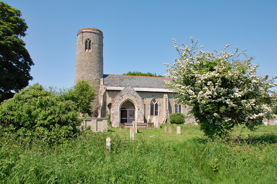
All Saints Church, Thurgarton

All Saints' Church is a redundant Anglican church in the village of Thurgarton, Norfolk, England. It is recorded in the National Heritage List for England...

Wickmere

Wickmere is a village and a civil parish in the English county of Norfolk, 18.9 miles (30.4 km) north of Norwich, 7.3 miles (11.7 km) south-southwest...

Nearby Amenities

Located within 500m of 52.861372,1.259292
Bus Stop
Hill, opp
Naptan AtcoCode: 2900A051
Naptan Bearing: SE
Naptan BusStopType: CUS
Naptan CommonName: Hill
Naptan Indicator: opp
Naptan Landmark: Post Box
Naptan Locality: Alby Hill
Naptan NaptanCode: nfoadamp
Naptan Street: Dovehouse Lane
Naptan Verified: no
Source: naptan_import
Lat/Long: 52.8606982/1.2556083
Bus Stop
Hill, adj
Naptan AtcoCode: 2900A055
Naptan Bearing: NW
Naptan BusStopType: CUS
Naptan CommonName: Hill
Naptan Indicator: adj
Naptan Landmark: Post Box
Naptan Locality: Alby Hill
Naptan NaptanCode: nfoadapa
Naptan Street: Dovehouse Lane
Naptan Verified: no
Source: naptan_import
Lat/Long: 52.8606852/1.255429
Alby Hill
Place: hamlet
Lat/Long: 52.8616809/1.258891
Entrance: yes
Lat/Long: 52.8615526/1.2538563
Parking
Lat/Long: 52.8617377/1.2535395
Power: pole
Lat/Long: 52.860334/1.2553316
Power: pole
Transformer: distribution
Lat/Long: 52.8615438/1.2529073
Power: pole
Lat/Long: 52.8609196/1.2541228
Give Way
Lat/Long: 52.8606222/1.2556715
Post Box
Operator: Royal Mail
Post Box Mounting: brick_pillar
Post Box Type: wall
Lat/Long: 52.8606174/1.2554468
Give Way
Lat/Long: 52.8606854/1.2555139
The data included in this document is from www.openstreetmap.org. The data is made available under ODbL.

Have you been to Alby Hill?

Leave your review of Alby Hill below (or comments, questions and feedback).