Albyfield

Settlement in Cumberland Carlisle

England

Albyfield

Cumrew village Though I cannot be certain, it looks as if the B6413 never went through this small and attractive village.
Cumrew village Credit: David Purchase

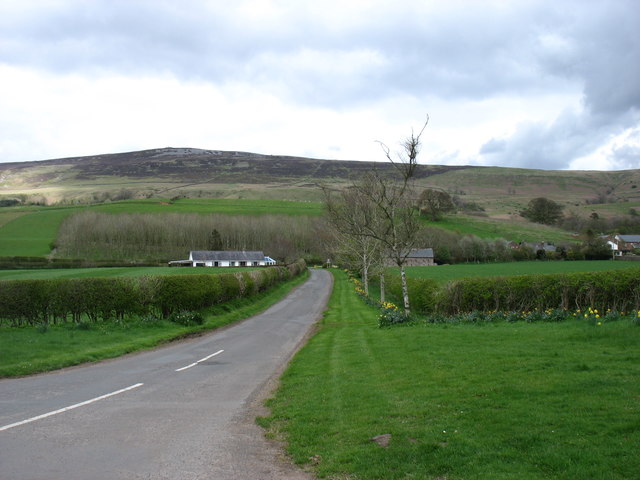
Albyfield is a charming village located in the county of Cumberland, in the northwest of England. Situated on the eastern edge of the Lake District National Park, Albyfield is surrounded by breathtaking natural beauty and offers residents and visitors a tranquil escape from the hustle and bustle of city life.

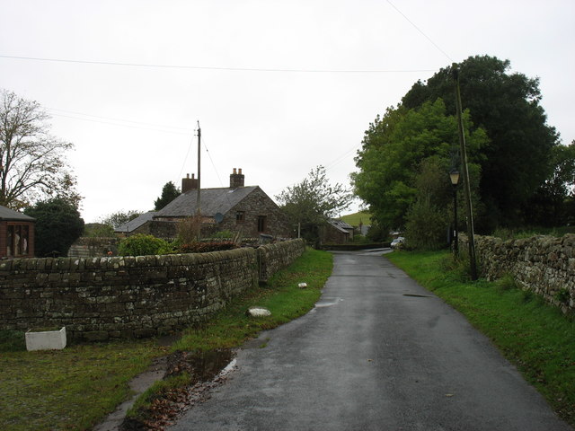
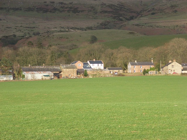
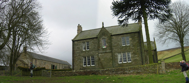
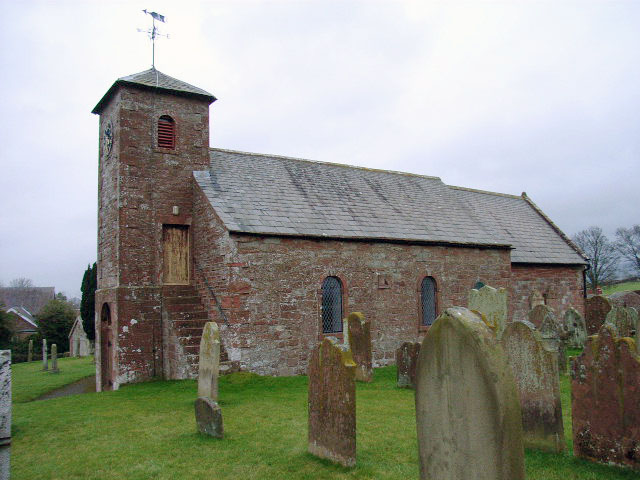
The village itself is characterized by its picturesque stone cottages, quaint streets, and friendly atmosphere. The local community is close-knit, with a population of around 1,500 residents who take pride in their village and its heritage. Albyfield's history can be traced back to medieval times, and remnants of this rich past can still be seen in the architecture of the village.

The village is well-equipped with essential amenities, including a post office, a small supermarket, a primary school, and a few local shops and eateries. For more extensive shopping and entertainment options, residents can easily access the nearby town of Carlisle, which is just a short drive away.

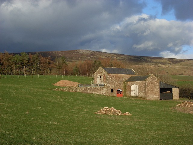
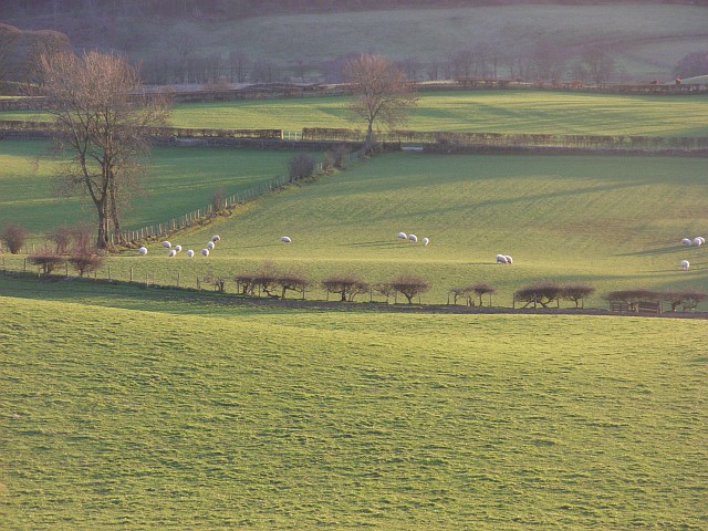
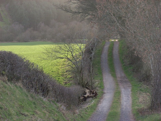
Albyfield's location on the outskirts of the Lake District makes it an ideal base for outdoor enthusiasts. The village is surrounded by rolling hills, verdant forests, and serene lakes, offering ample opportunities for hiking, cycling, fishing, and boating. The nearby Lake District National Park is renowned for its stunning landscapes, attracting visitors from all over the world.

Overall, Albyfield is a delightful village that combines the tranquility of rural living with easy access to the natural wonders of the Lake District. Its warm community, beautiful surroundings, and convenient amenities make it a desirable place to live or visit for those seeking a peaceful and idyllic setting.

If you have any feedback on the listing, please let us know in the comments section below.

Albyfield Images

Images are sourced within 2km of 54.864337/-2.707617 or Grid Reference NY5452. Thanks to Geograph Open Source API. All images are credited.

Cumrew village Though I cannot be certain, it looks as if the B6413 never went through this small and attractive village.
Cumrew village
Though I cannot be certain, it looks as if the B6413 never went through this small and attractive village.
The B6413 to Newbiggin
Farmland near Saughtreegate Cumrew Fell behind.
Farmland near Saughtreegate
Cumrew Fell behind.
The lane to Cumrew Cumrew is a tiny village just east of the B6413. Cumrew Fell is behind: its summit is in <a href="https://www.geograph.org.uk/gridref/NY5652">NY5652</a>.
The lane to Cumrew
Cumrew is a tiny village just east of the B6413. Cumrew Fell is behind: its summit is in NY5652.
Pastures, Albyfield Looking east from the B6413, with Albyfield Plantation and the flank of Cumrew Fell in the background.
Pastures, Albyfield
Looking east from the B6413, with Albyfield Plantation and the flank of Cumrew Fell in the background.
Albyfield Farm Near Cumrew, taken from my Paraglider I took this photograph before we lost permission to fly from this lovely hill (Cumrew Fell); the Grouse were the culprits!
Albyfield Farm Near Cumrew, taken from my Paraglider
I took this photograph before we lost permission to fly from this lovely hill (Cumrew Fell); the Grouse were the culprits!
Pastures, Carlatton A landscape typically of the area - low, bumpy pastoral farmland.
Pastures, Carlatton
A landscape typically of the area - low, bumpy pastoral farmland.
Barn and copse, Saughtreegate Above Gillfoot Bridge. Cumrew Fell in the background.
Barn and copse, Saughtreegate
Above Gillfoot Bridge. Cumrew Fell in the background.
Cumrew A view across fields from the B6413 to houses and farm buildings on the village's only street where a couple of new houses are currently being built.
Cumrew
A view across fields from the B6413 to houses and farm buildings on the village's only street where a couple of new houses are currently being built.
Pastures, Cumrew Looking down to the B6413, which can just be seen between hedges.
Pastures, Cumrew
Looking down to the B6413, which can just be seen between hedges.
Pastures, Carlatton Lakeland's far north in the background.
Pastures, Carlatton
Lakeland's far north in the background.
Pastures and pond, Carlatton Not entirely sure whether this is intended, or if it's just a flood. I suspect the former.
Pastures and pond, Carlatton
Not entirely sure whether this is intended, or if it's just a flood. I suspect the former.
Pastures, Cumrew Bumpy terrain that covers the grid-square.
Pastures, Cumrew
Bumpy terrain that covers the grid-square.
Pastures, Cumrew Looking down to Saughtreegate.
Pastures, Cumrew
Looking down to Saughtreegate.
Pastures, Cumrew Wall linking the very minor road Albyfield to Cumrew lane and the B6413.
Pastures, Cumrew
Wall linking the very minor road Albyfield to Cumrew lane and the B6413.
Pastures, Carlatton Wall heading towards Saughtreehead.
Pastures, Carlatton
Wall heading towards Saughtreehead.
Albyfield sunset Trees beside the lane coming up from the B6413.
Albyfield sunset
Trees beside the lane coming up from the B6413.
Cairn Lonning The track descends to Cairn Beck and accesses plantations.
Cairn Lonning
The track descends to Cairn Beck and accesses plantations.
Show me another place!

Albyfield is located at Grid Ref: NY5452 (Lat: 54.864337, Lng: -2.707617)

Administrative County: Cumbria

District: Carlisle

Police Authority: Cumbria

What 3 Words

///corrode.healers.spoils. Near Wetheral, Cumbria

Nearby Locations

Albyfield

Related Wikis

Nearby Amenities

Located within 500m of 54.864337,-2.707617
Barrier: cattle_grid
Source: survey
Lat/Long: 54.860306/-2.7042256
Power: pole
Lat/Long: 54.8602772/-2.7043298
Power: pole
Lat/Long: 54.861187/-2.7050478
Power: pole
Lat/Long: 54.8620531/-2.7057684
Power: pole
Lat/Long: 54.8629389/-2.7060723
Power: pole
Lat/Long: 54.8638694/-2.7063724
Power: pole
Lat/Long: 54.8648839/-2.7066997
Power: pole
Lat/Long: 54.8658811/-2.707055
Power: pole
Lat/Long: 54.8665665/-2.7072829
Power: pole
Lat/Long: 54.8673027/-2.7075084
Power: pole
Lat/Long: 54.8682322/-2.7076947
Power: pole
Lat/Long: 54.8639615/-2.7055282
Power: pole
Lat/Long: 54.8640504/-2.7047538
The data included in this document is from www.openstreetmap.org. The data is made available under ODbL.

Have you been to Albyfield?

Leave your review of Albyfield below (or comments, questions and feedback).