Alcaig
Settlement in Ross-shire
Scotland
Alcaig

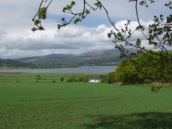
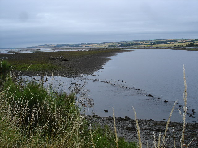
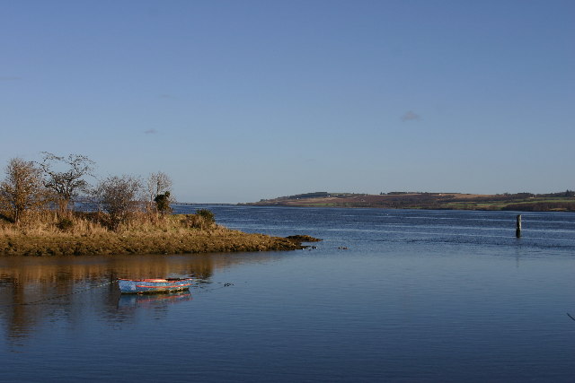
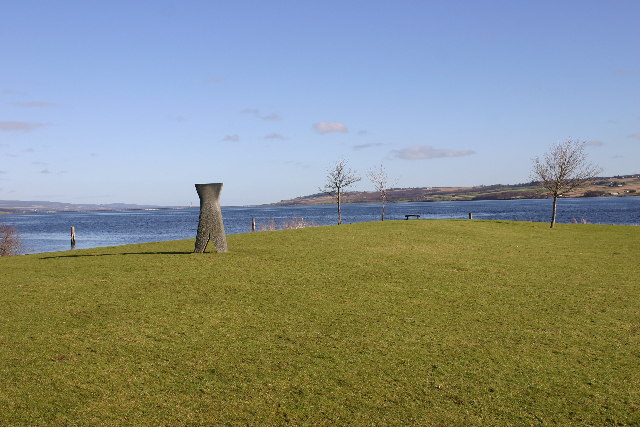
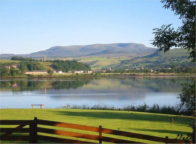
Alcaig is a small village located in the county of Ross-shire, Scotland. Situated on the eastern coast of the Black Isle peninsula, it overlooks the Beauly Firth, offering breathtaking views of the surrounding countryside and the water. With a population of around 300 residents, Alcaig is a close-knit community that offers a peaceful and picturesque setting for its inhabitants.
The village is primarily residential, consisting of a collection of traditional stone-built houses and cottages, giving it a charming and timeless feel. The local economy is mainly centered around agriculture, with some residents also commuting to nearby towns for work.
Alcaig benefits from its proximity to the larger towns of Inverness and Dingwall, both of which are within easy reach by road. This allows residents to access a wider range of amenities, including shopping centers, schools, and healthcare facilities.
Nature enthusiasts will find plenty to explore in the area surrounding Alcaig. The Black Isle peninsula is known for its beautiful landscapes, wildlife, and outdoor recreational opportunities. The coastline offers opportunities for beach walks, birdwatching, and even dolphin spotting in the firth. Additionally, the nearby Black Isle Wildlife Park provides a fun and educational experience for visitors of all ages.
Overall, Alcaig is a tranquil and idyllic village, perfect for those seeking a peaceful lifestyle surrounded by stunning natural beauty. Its close proximity to larger towns and its strong community spirit make it an attractive place to live for both families and individuals looking for a slower pace of life.
If you have any feedback on the listing, please let us know in the comments section below.
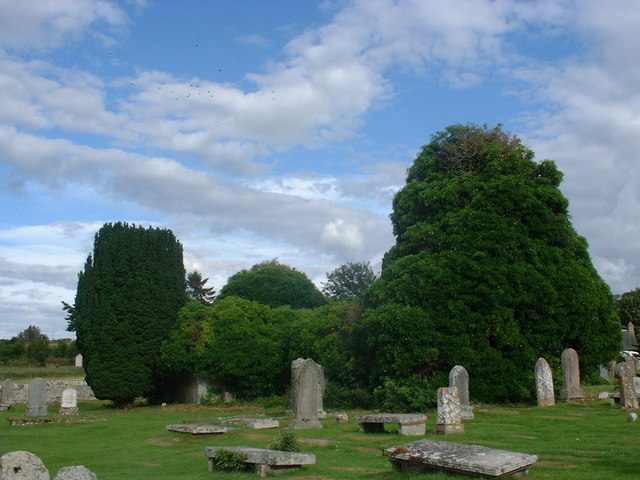
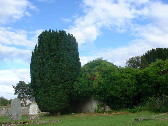
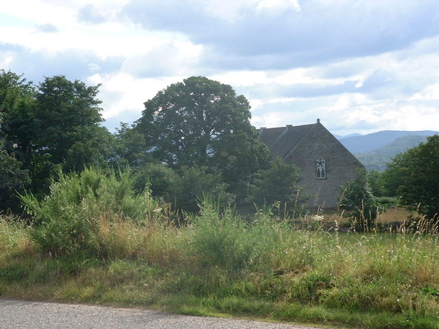
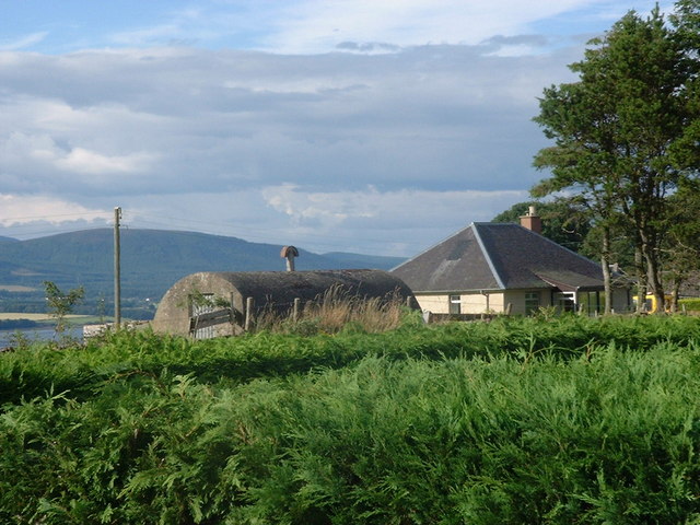
Alcaig Images
Images are sourced within 2km of 57.582236/-4.398827 or Grid Reference NH5657. Thanks to Geograph Open Source API. All images are credited.


Alcaig is located at Grid Ref: NH5657 (Lat: 57.582236, Lng: -4.398827)
Unitary Authority: Highland
Police Authority: Highlands and Islands
What 3 Words
///pats.landlords.parts. Near Dingwall, Highland
Related Wikis
Alcaig
Alcaig (Old Norse which means Auk Bay: Alcaig) is a village located close to Conon Bridge in Dingwall, Ross-shire in Highland, and is within the Scottish...
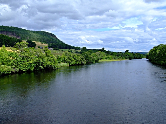
River Conon
The River Conon (Scottish Gaelic: Conann) is a river in the Highlands of Scotland. It begins at Loch Luichart, and flows in a south-easterly direction...

Corntown, Highland
Corntown is a small hamlet, located 1⁄2 mile (800 m) northeast of Conon Bridge in Ross-shire, Scottish Highlands and is in the Scottish council area of...

Urquhart and Logie Wester
Urquhart and Logie Wester is a parish within the county of Ross and Cromarty, Scotland. It is situated in the area known as the Black Isle and is in the...
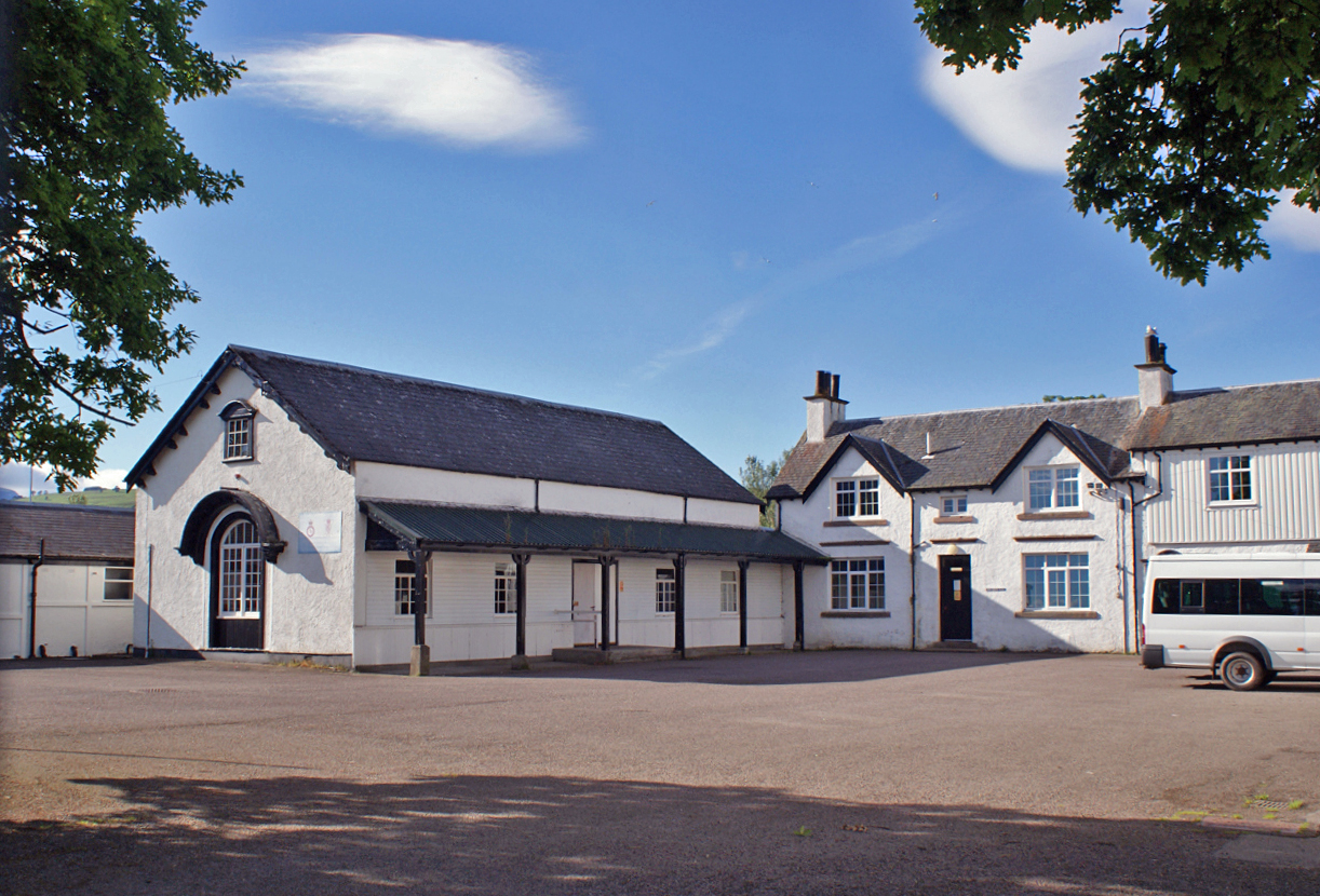
Ferry Road drill hall, Dingwall
The Ferry Road drill hall, known locally as Seaforth Barracks, is a military installation in Dingwall, Scotland. == History == The building was designed...
Ross Memorial Hospital
Ross Memorial Hospital is a health facility in Ferry Road, Dingwall, Scotland. It is managed by NHS Highland. It is a Category B listed building. ��2...

Dingwall Sheriff Court
Dingwall Sheriff Court is a former judicial structure in the High Street, Dingwall, Highland, Scotland. The complex, which was used as the headquarters...
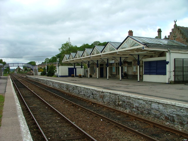
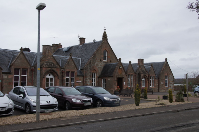
Dingwall railway station
Dingwall railway station serves Dingwall, Scotland. It is located just south of the junction of the Far North Line and the Kyle of Lochalsh Line, and is...
Nearby Amenities
Located within 500m of 57.582236,-4.398827Have you been to Alcaig?
Leave your review of Alcaig below (or comments, questions and feedback).