Alcaston

Settlement in Shropshire

England

Alcaston

A49 Near Upper Affcot Looking north from lay-by on southbound side
A49 Near Upper Affcot Credit: Richard Cooke

Alcaston is a small village located in the county of Shropshire, England. Situated in the southern part of the county, it lies approximately 7 miles southwest of the town of Bridgnorth. The village is nestled in a picturesque rural setting, surrounded by rolling hills and lush green countryside.

Alcaston is known for its quaint and charming atmosphere, with a population of around 200 residents. The village is characterized by its traditional stone-built cottages and historic buildings, which add to its unique and timeless appeal. The architecture reflects the village's rich heritage and history, with some structures dating back several centuries.

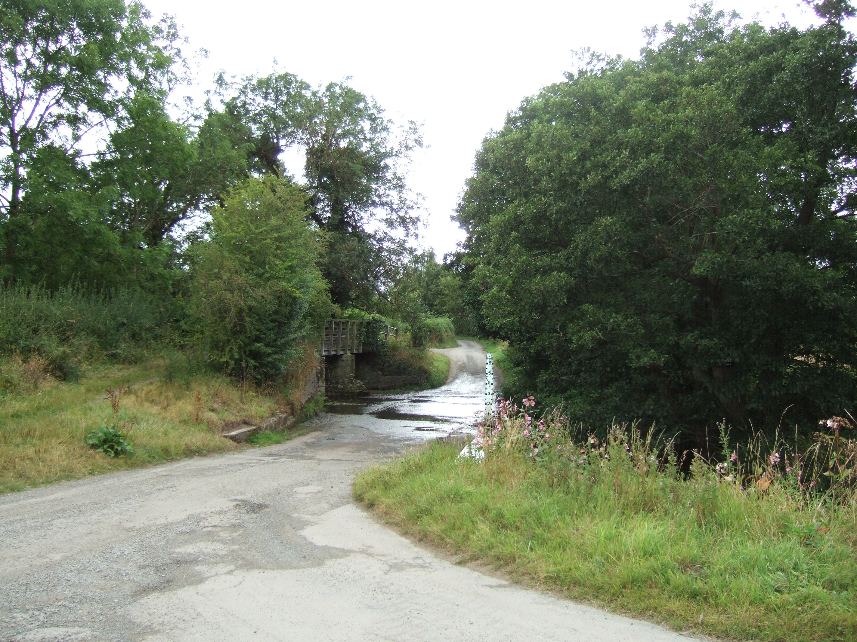
One notable feature of Alcaston is its close proximity to the scenic River Severn, which meanders through the nearby landscape. This offers residents and visitors the opportunity to enjoy leisurely walks by the riverbanks or partake in various water activities.

While Alcaston is primarily a residential community, it does offer some amenities to its residents. These include a local pub, which serves as a social hub for the village, and a small village hall that hosts community events and gatherings throughout the year.

The village is also conveniently located near other towns and cities, with Bridgnorth offering a wider range of amenities and services. Alcaston benefits from its rural location, providing a tranquil and picturesque setting for those seeking a peaceful lifestyle away from the hustle and bustle of larger urban areas.

If you have any feedback on the listing, please let us know in the comments section below.

Alcaston Images

Images are sourced within 2km of 52.479199/-2.796992 or Grid Reference SO4587. Thanks to Geograph Open Source API. All images are credited.
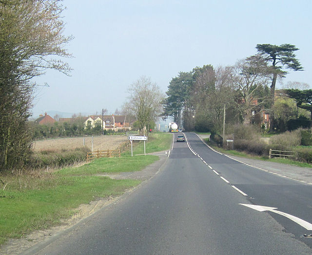
A49 Near Upper Affcot Looking north from lay-by on southbound side
A49 Near Upper Affcot
Looking north from lay-by on southbound side
Lane near Callow Hill
Woodland at Callow Hill Callow Hill, 336m (1,102 ft), is the highest point of Wenlock Edge, Flounders' Folly is a tower on the summit.
Woodland at Callow Hill
Callow Hill, 336m (1,102 ft), is the highest point of Wenlock Edge, Flounders' Folly is a tower on the summit.
Track and bridleway at Callow Hill Callow Hill, 336m (1,102 ft), is the highest point of Wenlock Edge, Flounders' Folly is a tower on the summit.
Track and bridleway at Callow Hill
Callow Hill, 336m (1,102 ft), is the highest point of Wenlock Edge, Flounders' Folly is a tower on the summit.
Path through Frizland Coppice at Callow Hill
Track and bridleway at Callow Hill Callow Hill, 336m (1,102 ft), is the highest point of Wenlock Edge, Flounders' Folly is a tower on the summit.
Track and bridleway at Callow Hill
Callow Hill, 336m (1,102 ft), is the highest point of Wenlock Edge, Flounders' Folly is a tower on the summit.
Dead tree below Flounders Folly On the west side of Callow Hill, the highest point of Wenlock Edge.
Dead tree below Flounders Folly
On the west side of Callow Hill, the highest point of Wenlock Edge.
Moorwood farmland About 215 metres above sea level.
Moorwood farmland
About 215 metres above sea level.
Road junction, near Moorwood The lane heading left [west] at the grass triangle continues past Moorwood House as a bridleway and in the 1880s led to quarries and a limekiln. The lane going right [north-east] heads to Westhope.
Road junction, near Moorwood
The lane heading left [west] at the grass triangle continues past Moorwood House as a bridleway and in the 1880s led to quarries and a limekiln. The lane going right [north-east] heads to Westhope.
Lane through Harton Hollow Wood Wenlock Edge was formed 425 million years ago as a coral reef in a shallow sea. The thickly wooded limestone escarpment stretches in an unbroken line for 18 miles (30 km) between Ironbridge and Craven Arms in Shropshire.
Lane through Harton Hollow Wood
Wenlock Edge was formed 425 million years ago as a coral reef in a shallow sea. The thickly wooded limestone escarpment stretches in an unbroken line for 18 miles (30 km) between Ironbridge and Craven Arms in Shropshire.
Harton Hollow Wood at Wenlock Edge Wenlock Edge was formed 425 million years ago as a coral reef in a shallow sea. The thickly wooded limestone escarpment stretches in an unbroken line for 18 miles (30 km) between Ironbridge and Craven Arms in Shropshire.
Harton Hollow Wood at Wenlock Edge
Wenlock Edge was formed 425 million years ago as a coral reef in a shallow sea. The thickly wooded limestone escarpment stretches in an unbroken line for 18 miles (30 km) between Ironbridge and Craven Arms in Shropshire.
View to Botletmoor Wood
Barn, Marsh Farm
Barn, Marsh Farm
Poultry shed, Marsh Farm
Farmhouse, Marsh Farm
Moorwood Farm in the early morning
Affcott Lodge hotel from A49 north
A49 north entering Fulhampton Turning to Bushmoor on the left
A49 north entering Fulhampton
Turning to Bushmoor on the left
Show me another place!

Alcaston is located at Grid Ref: SO4587 (Lat: 52.479199, Lng: -2.796992)

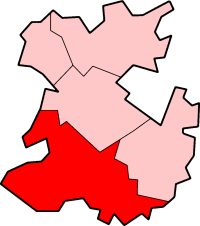
Unitary Authority: Shropshire

Police Authority: West Mercia

What 3 Words

///defensive.director.preheated. Near Craven Arms, Shropshire

Related Wikis

Alcaston

Alcaston is a village in Shropshire, England. == See also == Listed buildings in Acton Scott == External links == Media related to Alcaston at Wikimedia...

Felhampton

Felhampton is a hamlet in Shropshire, England. It is around 3.5 miles (5.6 km) north of Craven Arms, and 17 miles (27 km) south of Shrewsbury. The hamlet...

Marsh Farm Junction

Marsh Farm Junction was a railway junction in Shropshire where the GWR's line from Buildwas via Much Wenlock joined the LNWR/GWR joint line between Shrewsbury...

Upper Affcot

Upper Affcot is a hamlet in Shropshire, England. It is located on the A49 north of Craven Arms and south of Church Stretton, between the hamlets of Strefford...
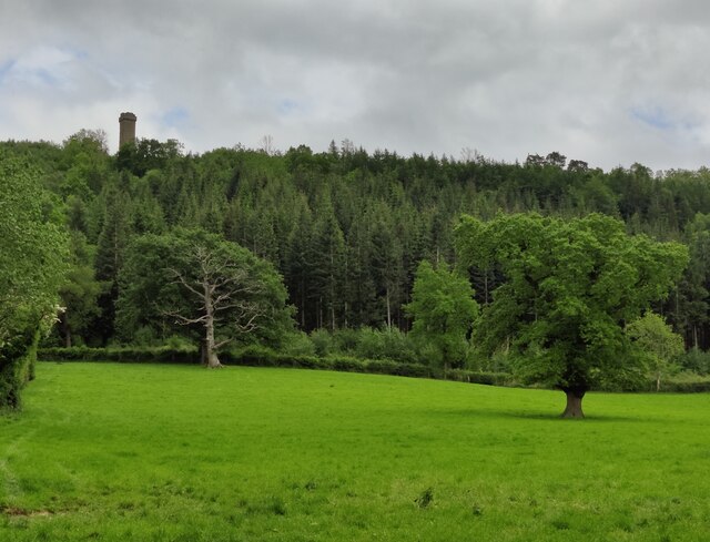
Flounders' Folly

Flounders' Folly is a tower, built in 1838, on Callow Hill, near Craven Arms at the western end of Wenlock Edge in Shropshire, England. The tower is approximately...

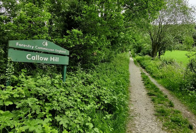
Callow Hill, Shropshire

Callow Hill is a hill near the village of Lower Dinchope between Craven Arms and Ludlow in the English county of Shropshire. Its summit marks the highest...

Strefford

Strefford is a historic hamlet in Shropshire, England. It lies in the civil parish of Wistanstow and is situated just off the A49 road 2 miles (3.2 km...

South Shropshire

South Shropshire was, between 1974 and 2009, a local government district in south west Shropshire, England. South Shropshire was the most rural district...

Nearby Amenities

Located within 500m of 52.479199,-2.796992
Power: pole
Lat/Long: 52.4795295/-2.8011811
Power: pole
Lat/Long: 52.4796798/-2.8030533
Power: pole
Lat/Long: 52.4798007/-2.804161
Generator Output Electricity: yes
Generator Source: solar
Generator Type: solar_photovoltaic_panel
Location: roof
Power: generator
Lat/Long: 52.4800179/-2.7972409
Generator Output Electricity: yes
Generator Source: solar
Generator Type: solar_photovoltaic_panel
Location: roof
Power: generator
Lat/Long: 52.4798922/-2.7975071
Generator Output Electricity: yes
Generator Source: solar
Generator Type: solar_photovoltaic_panel
Location: roof
Power: generator
Lat/Long: 52.4788442/-2.7990071
Telephone
HE Ref: 1383217
Booth: K6
Covered: booth
Listed Status: Grade II
Payment Coins: no
Phone: +44 1694 781234
Lat/Long: 52.479438/-2.7996093
Post Box
Post Box Type: lamp
Lat/Long: 52.4794637/-2.8014752
The data included in this document is from www.openstreetmap.org. The data is made available under ODbL.

Have you been to Alcaston?

Leave your review of Alcaston below (or comments, questions and feedback).