Back Gut
Sea, Estuary, Creek in Ross-shire
Scotland
Back Gut

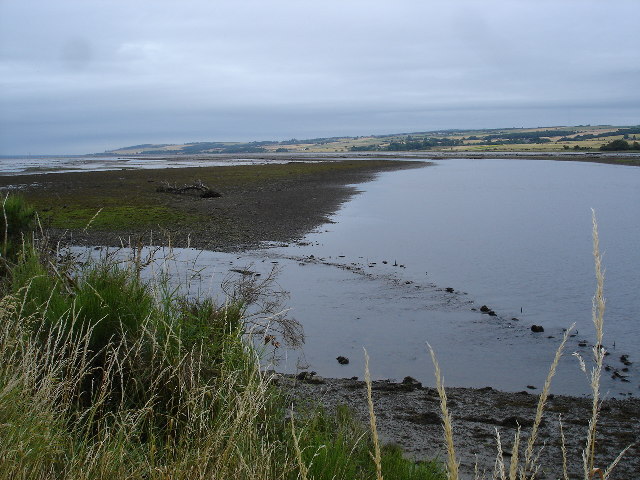
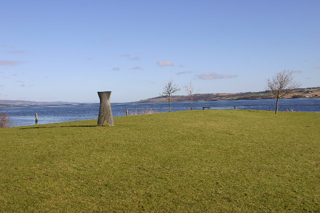
Back Gut is a small coastal area located in Ross-shire, Scotland. Situated along the northern coast of the country, it boasts a stunning landscape that combines the beauty of the sea, estuary, and creek. The area is known for its picturesque views and tranquil atmosphere, making it a popular destination for nature enthusiasts and those seeking a peaceful retreat.
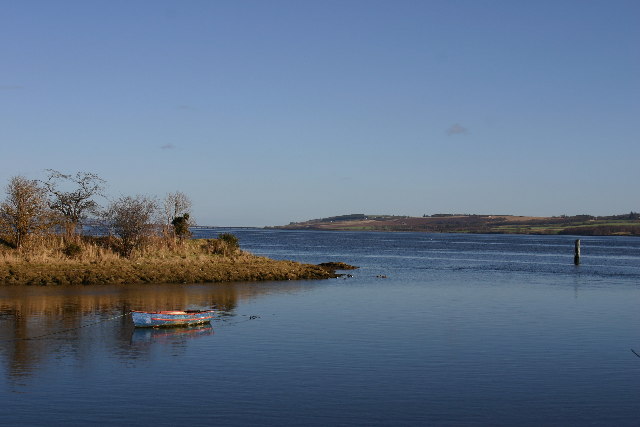
The main highlight of Back Gut is its proximity to the sea. The coastline is characterized by rugged cliffs, sandy beaches, and rocky outcrops, creating a striking contrast against the azure waters. The sea is home to a diverse range of marine life, including seals, dolphins, and various seabird species, making it a haven for wildlife enthusiasts and birdwatchers.
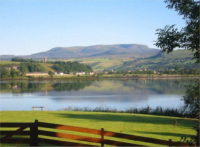
Further inland, Back Gut opens up into an estuary. This area is characterized by its calm and shallow waters, making it an important habitat for numerous species of fish, shellfish, and birds. The estuary provides an ideal environment for fishing and birdwatching, with many visitors enjoying the opportunity to spot wading birds, such as herons and oystercatchers, as well as the occasional otter.
Finally, a small creek meanders through Back Gut, adding another dimension to the natural beauty of the area. The creek is a peaceful waterway that winds its way through lush vegetation and provides a serene setting for walks and picnics.
Overall, Back Gut in Ross-shire offers a diverse and captivating natural environment, combining the beauty of the sea, estuary, and creek. Its tranquility and abundance of wildlife make it a perfect destination for those seeking a peaceful retreat amidst the stunning Scottish coastal scenery.
If you have any feedback on the listing, please let us know in the comments section below.
Back Gut Images
Images are sourced within 2km of 57.58118/-4.4094031 or Grid Reference NH5657. Thanks to Geograph Open Source API. All images are credited.


Back Gut is located at Grid Ref: NH5657 (Lat: 57.58118, Lng: -4.4094031)
Unitary Authority: Highland
Police Authority: Highlands and Islands
What 3 Words
///city.lingering.awakening. Near Dingwall, Highland
Related Wikis
Alcaig
Alcaig (Old Norse which means Auk Bay: Alcaig) is a village located close to Conon Bridge in Dingwall, Ross-shire in Highland, and is within the Scottish...
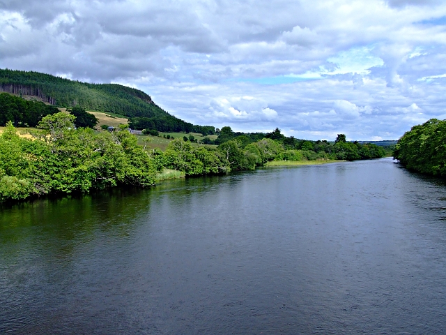
River Conon
The River Conon (Scottish Gaelic: Conann) is a river in the Highlands of Scotland. It begins at Loch Luichart, and flows in a south-easterly direction...

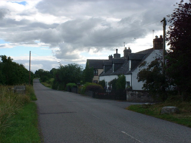
Corntown, Highland
Corntown is a small hamlet, located 1⁄2 mile (800 m) northeast of Conon Bridge in Ross-shire, Scottish Highlands and is in the Scottish council area of...
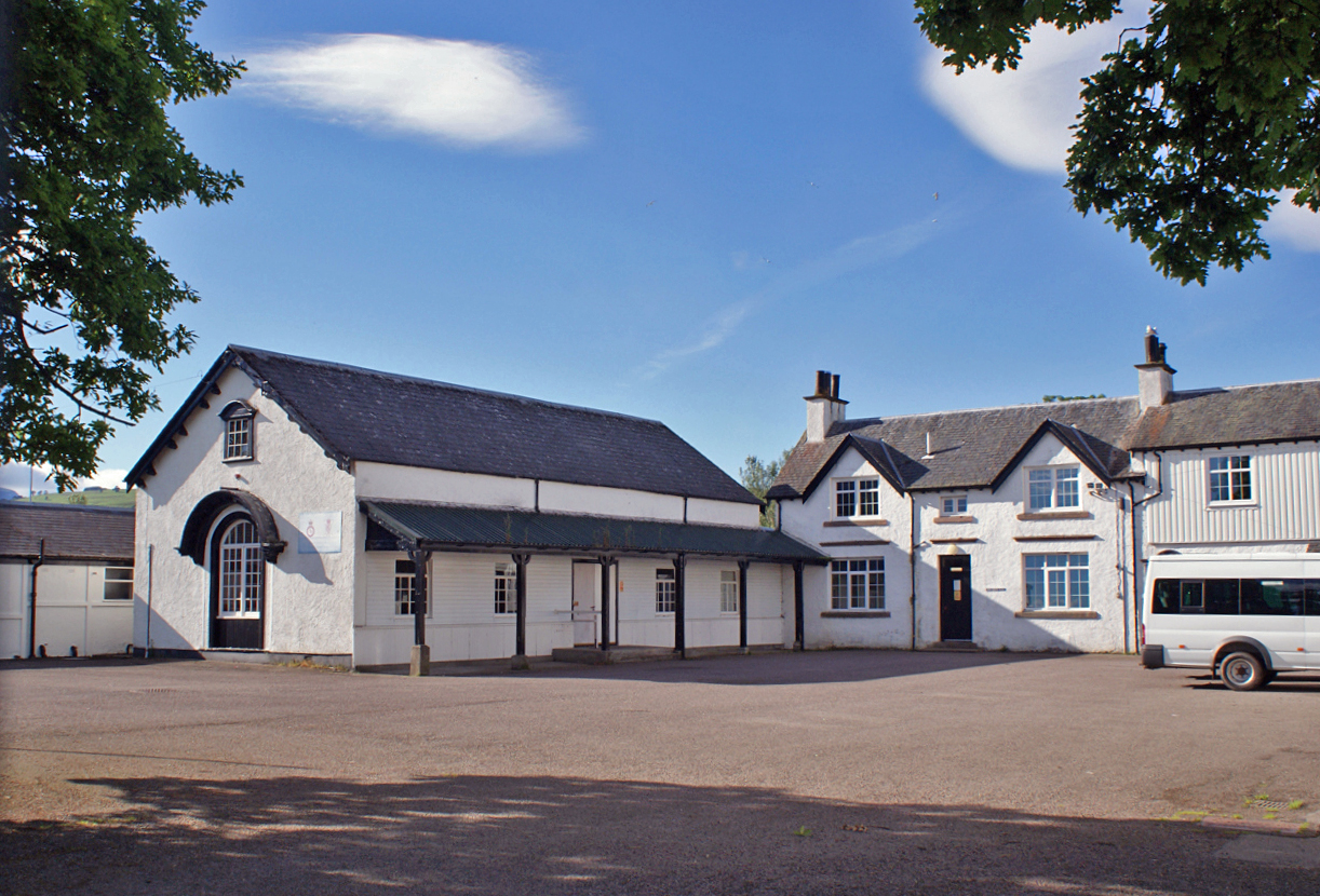
Ferry Road drill hall, Dingwall
The Ferry Road drill hall, known locally as Seaforth Barracks, is a military installation in Dingwall, Scotland. == History == The building was designed...
Ross Memorial Hospital
Ross Memorial Hospital is a health facility in Ferry Road, Dingwall, Scotland. It is managed by NHS Highland. It is a Category B listed building. ��2...

Dingwall Sheriff Court
Dingwall Sheriff Court is a former judicial structure in the High Street, Dingwall, Highland, Scotland. The complex, which was used as the headquarters...
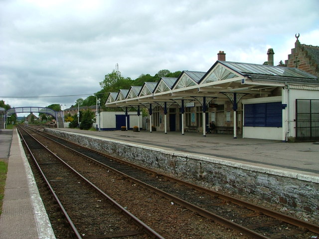
Dingwall railway station
Dingwall railway station serves Dingwall, Scotland. It is located just south of the junction of the Far North Line and the Kyle of Lochalsh Line, and is...

Urquhart and Logie Wester
Urquhart and Logie Wester is a parish within the county of Ross and Cromarty, Scotland. It is situated in the area known as the Black Isle and is in the...
Nearby Amenities
Located within 500m of 57.58118,-4.4094031Have you been to Back Gut?
Leave your review of Back Gut below (or comments, questions and feedback).