West Basin
Sea, Estuary, Creek in Lanarkshire
Scotland
West Basin
West Basin is a picturesque coastal area located in Lanarkshire, Scotland. Situated along the western coastline, it is known for its unique combination of sea, estuary, and creek, which make it a popular spot for both locals and tourists alike.
The main feature of West Basin is its seafront, which stretches for several kilometers. With its sandy beaches and clear waters, it offers visitors the opportunity to relax, sunbathe, and enjoy various water activities such as swimming, paddleboarding, and kayaking. The sea also provides an ideal environment for fishing enthusiasts, who often flock to the area to try their luck at catching a variety of fish species.
Adjacent to the sea, West Basin boasts an estuary that is formed by the convergence of a river and the sea. This estuary is a haven for birdwatchers, as it attracts a diverse range of bird species throughout the year. Visitors can observe graceful herons, elegant swans, and various types of waterfowl, making it a paradise for nature enthusiasts.
A creek traverses through West Basin, adding to its charm and natural beauty. The creek winds its way through the landscape, creating a peaceful and tranquil atmosphere. It offers visitors the opportunity to explore the area on foot, following its path and taking in the stunning scenery.
Overall, West Basin in Lanarkshire is a captivating coastal area that showcases the beauty of the sea, estuary, and creek. With its diverse range of activities and natural attractions, it is a must-visit destination for anyone seeking relaxation and a connection with nature.
If you have any feedback on the listing, please let us know in the comments section below.
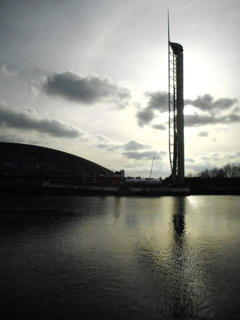
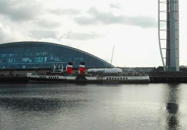
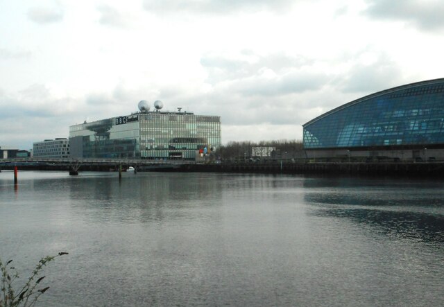
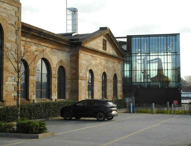
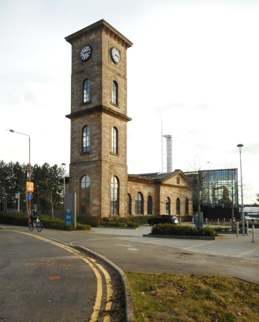
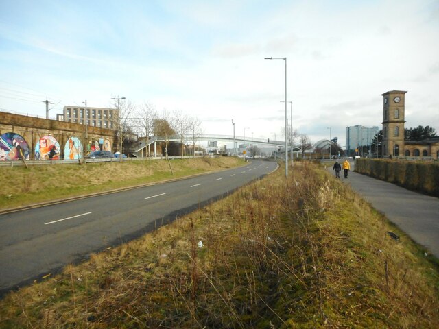
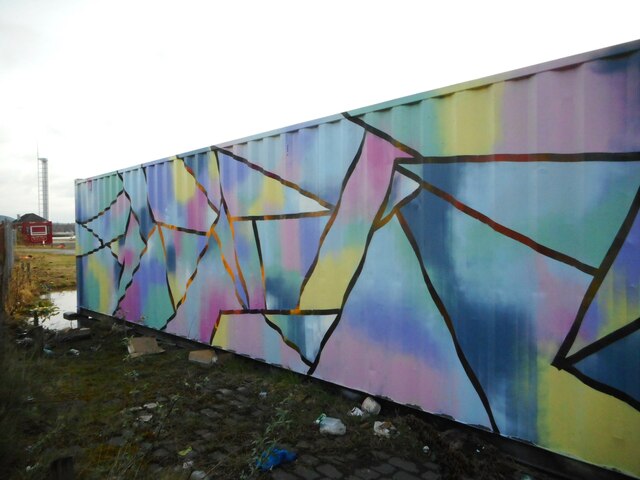
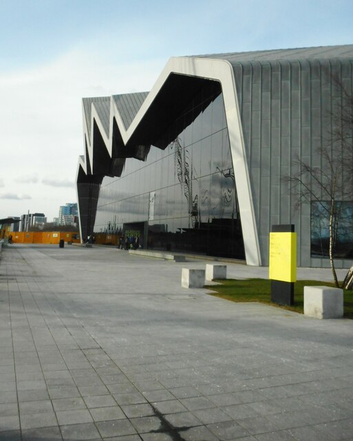
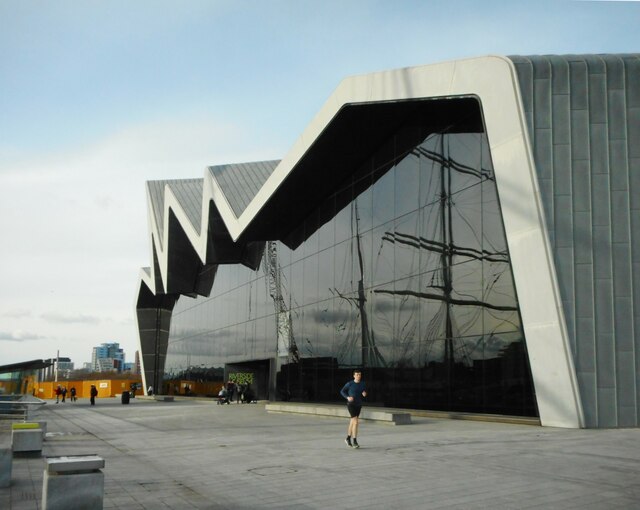
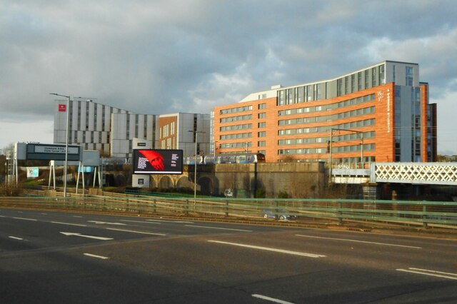
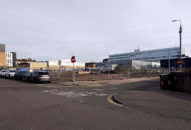
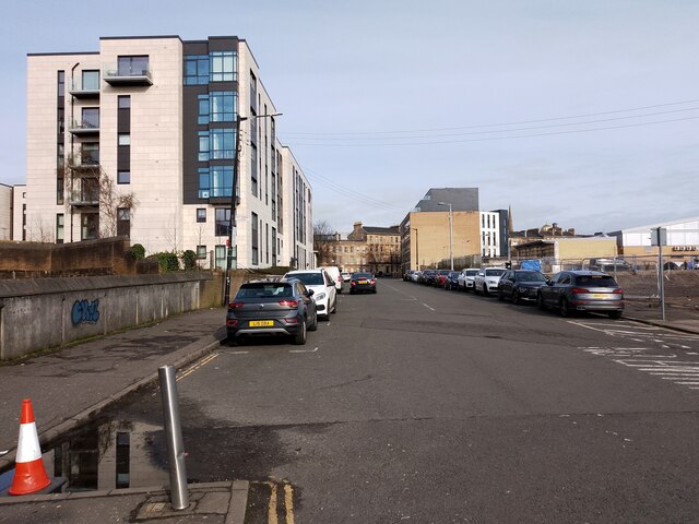
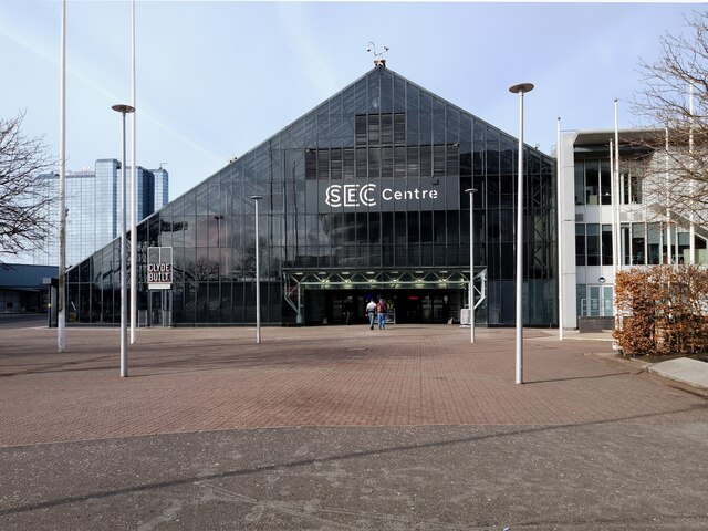
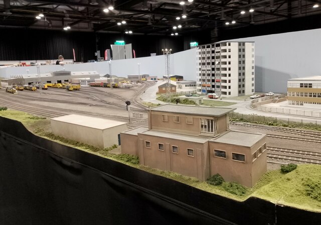
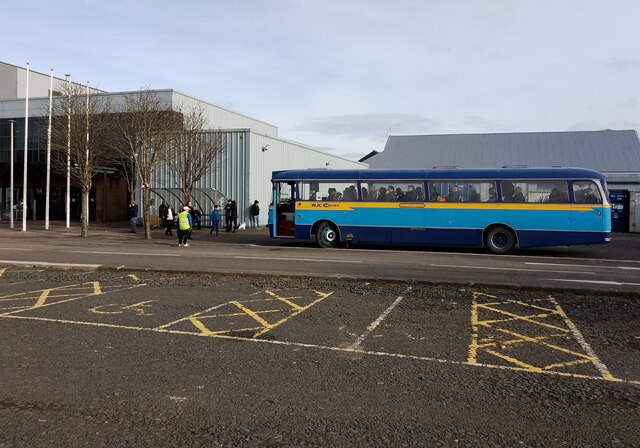
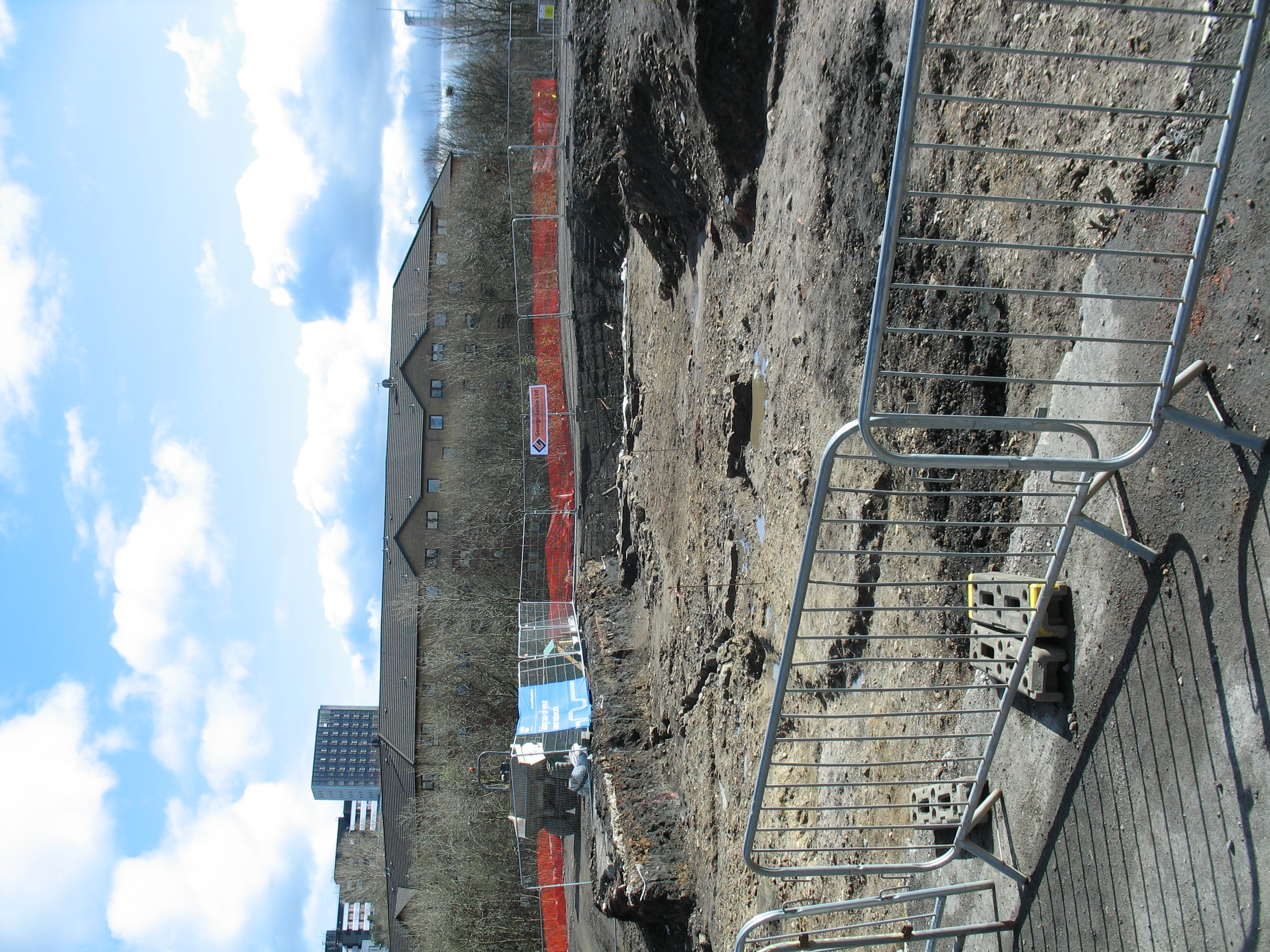
West Basin Images
Images are sourced within 2km of 55.865545/-4.302587 or Grid Reference NS5665. Thanks to Geograph Open Source API. All images are credited.

West Basin is located at Grid Ref: NS5665 (Lat: 55.865545, Lng: -4.302587)
Unitary Authority: City of Glasgow
Police Authority: Greater Glasgow
What 3 Words
///rents.badly.factories. Near Glasgow
Nearby Locations
Related Wikis

Riverside Museum
The Riverside Museum (replacing the preceding Glasgow Museum of Transport) is a museum in the Yorkhill area of Glasgow, Scotland, housed in a building...
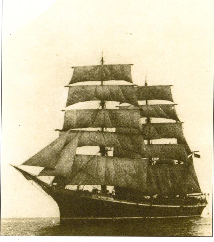
Glenlee (ship)
Glenlee is a steel-hulled three-masted barque, built as a cargo ship at Port Glasgow under that name in 1896 for Glasgow owners. With later owners she...
Partick Castle
Partick Castle was located in Partick, now a Western suburb of Glasgow. It was built in 1611 for the Glasgow benefactor George Hutcheson and situated...

River Kelvin
The River Kelvin (Scottish Gaelic: Abhainn Cheilbhinn) is a tributary of the River Clyde in northern and northeastern Glasgow, Scotland. It rises on the...
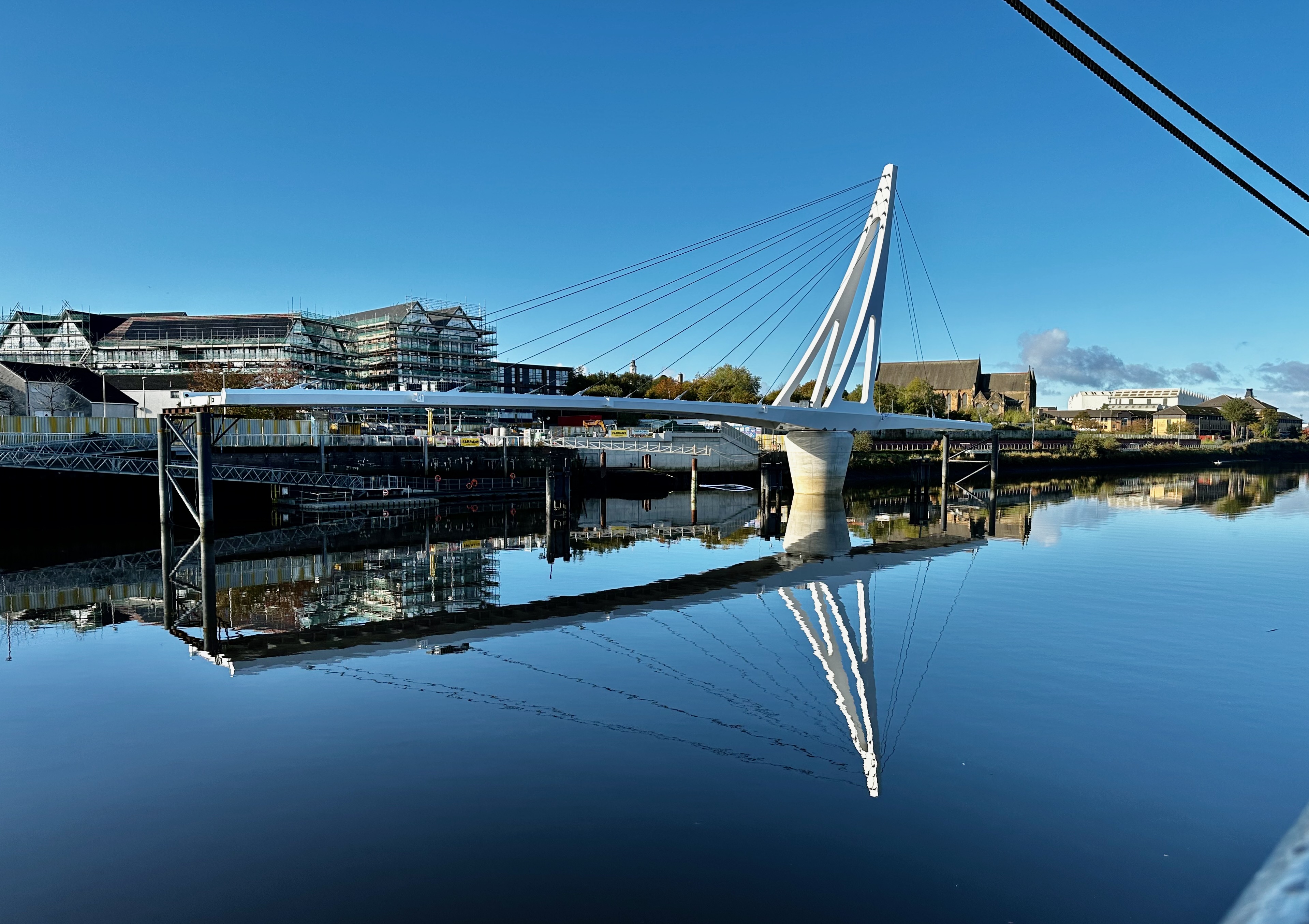
Govan-Partick Bridge
The Govan-Partick Bridge is a new bridge under construction in Glasgow, Scotland, across the River Clyde, close to the Riverside Museum. To allow ships...

West Glasgow Ambulatory Care Hospital
The West Glasgow Ambulatory Care Hospital is a healthcare facility in Yorkhill, Glasgow. The new ambulatory care facility was created in December 2015...
Partick Central railway station
Partick Central railway station was a station serving the Partick area of the city of Glasgow. Built in the 1890s by the Lanarkshire and Dunbartonshire...

Yorkhill Parade drill hall
The Yorkhill Parade drill hall is a former military installation in Glasgow. == History == The building was designed as the headquarters of the Glasgow...
Nearby Amenities
Located within 500m of 55.865545,-4.302587Have you been to West Basin?
Leave your review of West Basin below (or comments, questions and feedback).