Basin
Sea, Estuary, Creek in Lanarkshire
Scotland
Basin
Basin is a small coastal town located in the county of Lanarkshire, Scotland. Situated on the western coast of the country, it lies at the mouth of the River Clyde where it meets the North Atlantic Ocean. The town is known for its picturesque sea views, estuary, and nearby creek.
The sea in Basin is a prominent feature, offering residents and visitors alike opportunities for various recreational activities such as swimming, fishing, and boating. The coastal area is also popular for its stunning sunsets and scenic walks along the sandy beaches.
At the mouth of the River Clyde, an estuary can be found. This estuary is a complex ecosystem where freshwater from the river mixes with saltwater from the ocean. It supports a diverse range of flora and fauna, including various species of fish and birds. The estuary is an important habitat for wildlife and is often frequented by birdwatchers and nature enthusiasts.
Adjacent to the estuary is a creek, which is a narrow water channel that branches off from the main river. This creek provides a sheltered environment for small boats and is a popular spot for recreational sailing and kayaking. The creek is also used for commercial purposes, with local fishermen using it as a base for their operations.
Overall, Basin in Lanarkshire offers a beautiful coastal setting with its sea, estuary, and creek, providing a range of opportunities for both leisure and industry.
If you have any feedback on the listing, please let us know in the comments section below.
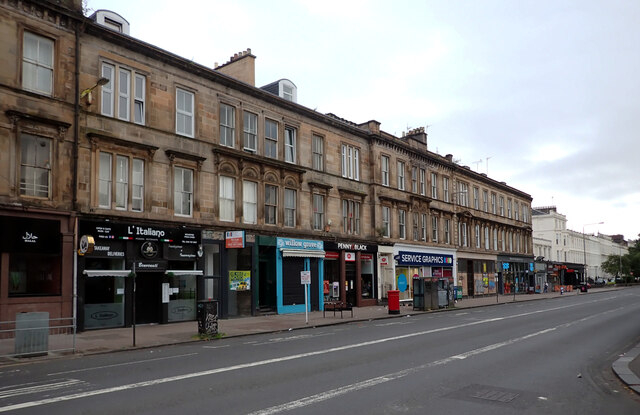
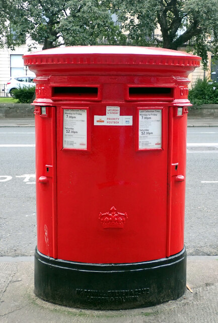
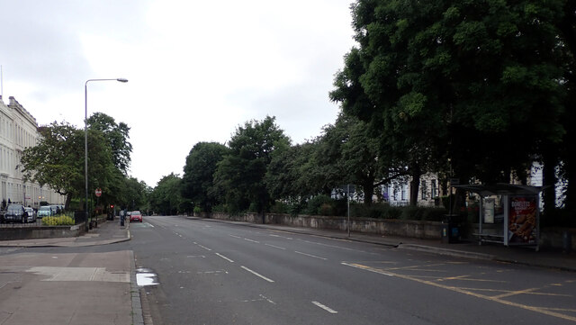
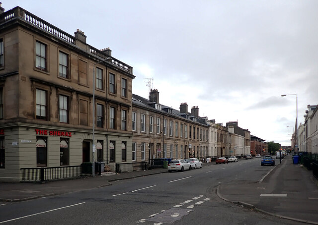
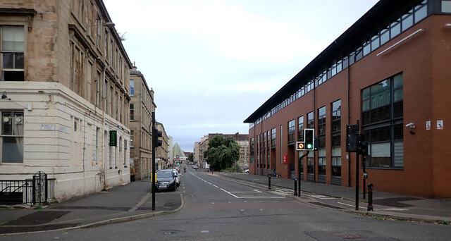
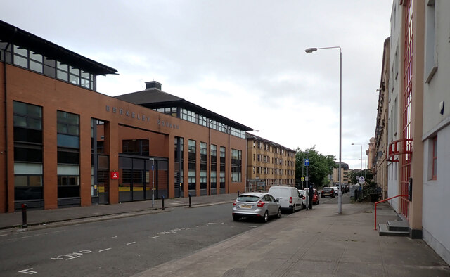
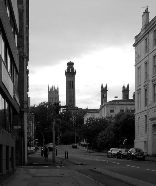
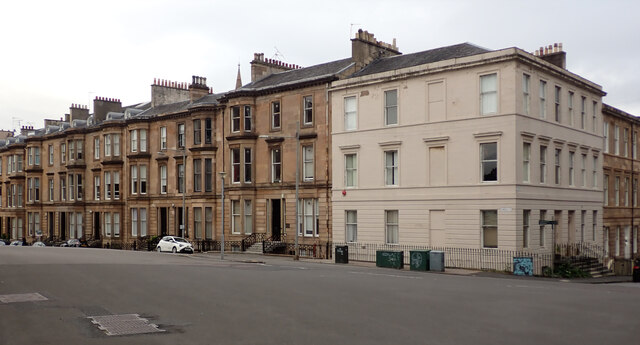
Basin Images
Images are sourced within 2km of 55.861944/-4.3033966 or Grid Reference NS5565. Thanks to Geograph Open Source API. All images are credited.


Basin is located at Grid Ref: NS5565 (Lat: 55.861944, Lng: -4.3033966)
Unitary Authority: City of Glasgow
Police Authority: Greater Glasgow
What 3 Words
///people.actors.breath. Near Glasgow
Nearby Locations
Related Wikis

St Gerard's Roman Catholic Secondary School, Govan
St Gerard's RC Secondary was a secondary school in Govan, Glasgow, Scotland, formerly known as St Gerard's Senior Secondary School. The school took pupils...

Govan
Govan ( GUV-ən; Cumbric: Gwovan; Scots: Gouan; Scottish Gaelic: Baile a' Ghobhainn) is a district, parish, and former burgh now part of south-west Glasgow...
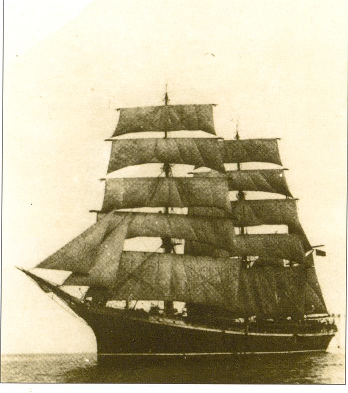
Glenlee (ship)
Glenlee is a steel-hulled three-masted barque, built as a cargo ship at Port Glasgow under that name in 1896 for Glasgow owners. With later owners she...

Riverside Museum
The Riverside Museum (replacing the preceding Glasgow Museum of Transport) is a museum in the Yorkhill area of Glasgow, Scotland, housed in a building...

Clydeside distillery
Clydeside distillery is a Scotch whisky distillery in Glasgow, Scotland. When production began in 2017, Clydeside was the first active distillery in Glasgow...
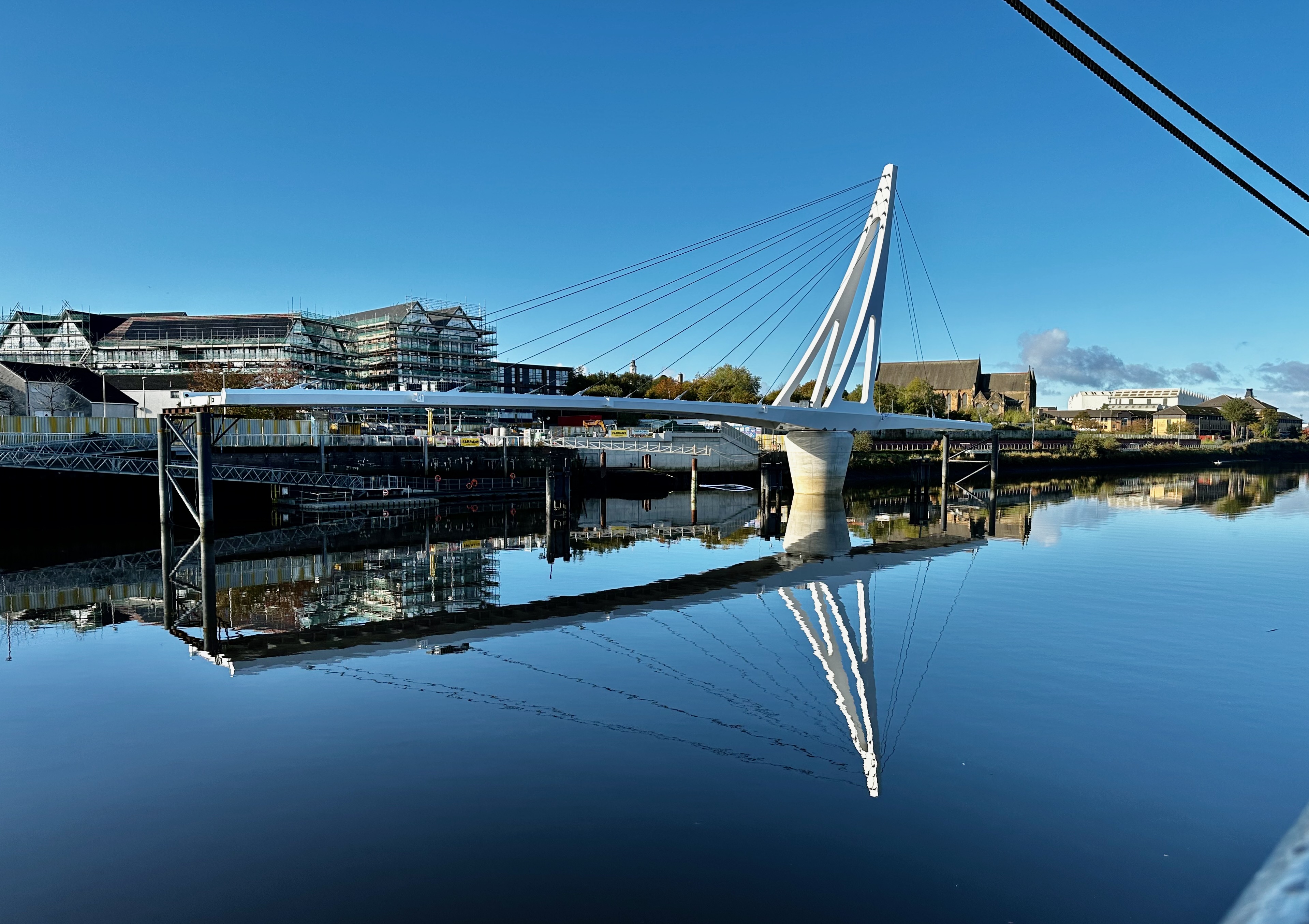
Govan-Partick Bridge
The Govan-Partick Bridge is a new bridge under construction in Glasgow, Scotland, across the River Clyde, close to the Riverside Museum. To allow ships...

Govan subway station
Govan subway station is a station serving the area of Govan in Glasgow, Scotland. It is located on the south side of the River Clyde. Just to the south...
Govan railway station
Govan railway station was a railway station in Govan, a district of Glasgow, Scotland. The station was originally part of an extension to the Glasgow and...
Nearby Amenities
Located within 500m of 55.861944,-4.3033966Have you been to Basin?
Leave your review of Basin below (or comments, questions and feedback).