Riverside
Settlement in Lanarkshire
Scotland
Riverside

Riverside is a small village located in the county of Lanarkshire, Scotland. Situated on the banks of the River Clyde, it is approximately 15 miles southeast of Glasgow. With a population of around 2,000 residents, Riverside is known for its picturesque setting and peaceful atmosphere.
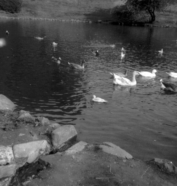
The village is characterized by its charming traditional architecture, with many stone-built houses lining its streets. The surrounding countryside is dominated by lush green fields and rolling hills, providing a scenic backdrop to the village. The River Clyde, which runs through Riverside, offers opportunities for recreational activities such as fishing and boating.
Despite its small size, Riverside boasts a few amenities to cater to its residents' needs. There is a local primary school, providing education for children in the village and surrounding areas. Additionally, there are a few small shops and a pub, offering basic goods and services to the community.
For those seeking more extensive amenities, the nearby town of Hamilton is only a short drive away. Here, residents can find a wider range of shops, restaurants, and recreational facilities.
Riverside is well-connected to other parts of Lanarkshire and beyond. The village has good road links, with the A725 and M74 motorway easily accessible, providing connections to Glasgow and other major cities in Scotland. Public transportation is also available, with regular bus services connecting Riverside to nearby towns and villages.
Overall, Riverside offers a tranquil and picturesque place to live, with its beautiful natural surroundings and close-knit community.
If you have any feedback on the listing, please let us know in the comments section below.
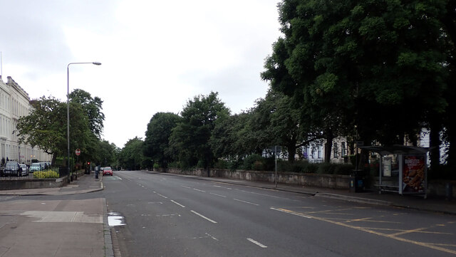
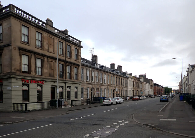
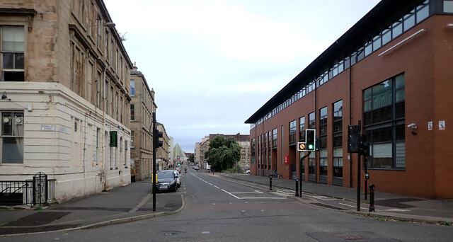
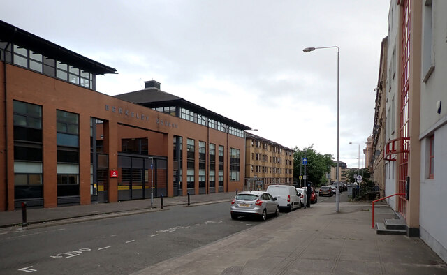
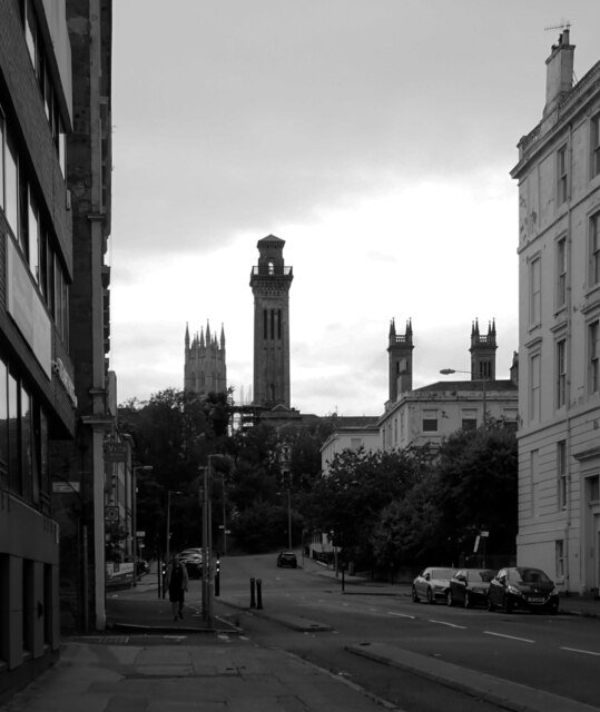
Riverside Images
Images are sourced within 2km of 55.858345/-4.2987891 or Grid Reference NS5665. Thanks to Geograph Open Source API. All images are credited.


Riverside is located at Grid Ref: NS5665 (Lat: 55.858345, Lng: -4.2987891)
Unitary Authority: City of Glasgow
Police Authority: Greater Glasgow
What 3 Words
///locals.middle.rots. Near Glasgow
Nearby Locations
Related Wikis
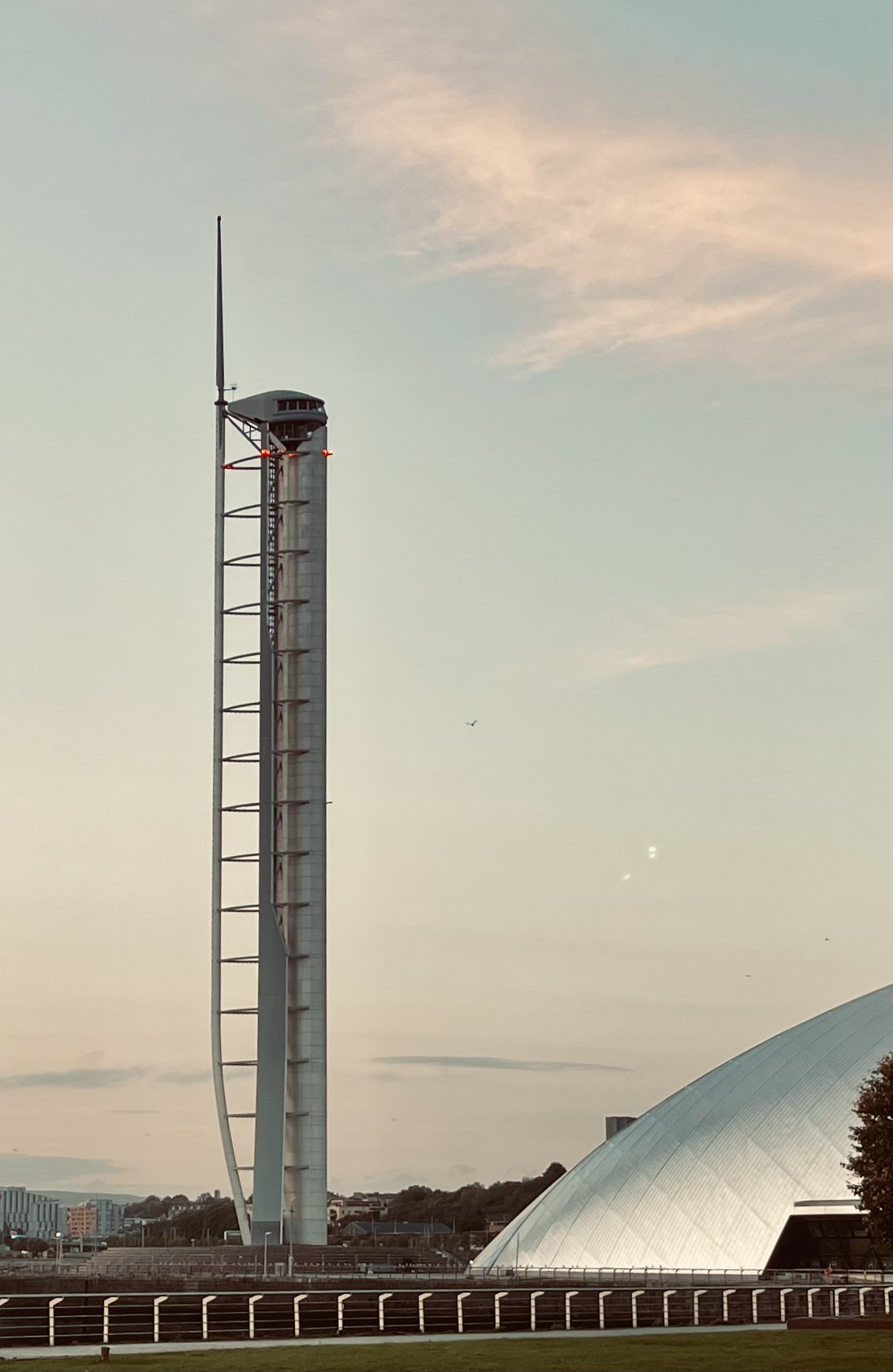
Glasgow Tower
Glasgow Tower (formerly known as the Millennium Tower) is a 127 metres (417 ft) free-standing landmark observation tower located on the south bank of the...
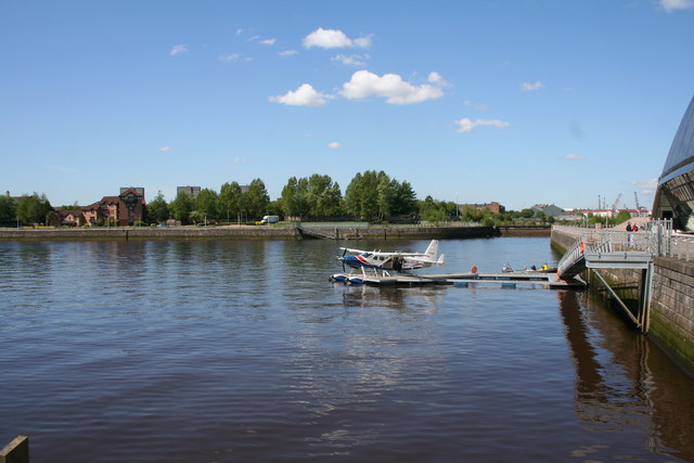
Glasgow Seaplane Terminal
Glasgow Seaplane Terminal is a seaplane airport terminal in Glasgow, Scotland. It opened in August 2007. The terminal is located in the 'Princes Dock'...

Govan Town Hall
Govan Town Hall is a former municipal facility on Govan Road, Govan, Scotland. The town hall, which was the headquarters of Govan Burgh Council, is a Category...

Glasgow Science Centre
Glasgow Science Centre is a visitor attraction located in the Clyde Waterfront Regeneration area on the south bank of the River Clyde in Glasgow, Scotland...

Pacific Quay
Pacific Quay is an area south of the River Clyde in Glasgow, Scotland. It is located at the former Plantation Quay and Princes' Dock Basin. The Princes...

Millennium Bridge, Glasgow
The Millennium Bridge is a pedestrian bridge over the River Clyde in the city of Glasgow, Scotland, built as part of the millennium celebrations and funded...

Clydeside distillery
Clydeside distillery is a Scotch whisky distillery in Glasgow, Scotland. When production began in 2017, Clydeside was the first active distillery in Glasgow...

Media Village Scotland
Media Village Scotland is a television studio complex at Pacific Quay, Glasgow, Scotland. It is home to BBC Scotland & STV. It is situated near the Scottish...
Related Videos

Walking Through Victoria Park, Glasgow, Scotland | 4K, Binaural Audio
A rare sunny evening in February in Victoria Park, Glasgow. Temperature is around 10C with low wind speeds. Subscribe for ...

Walking From University Avenue To Charing Cross in Glasgow, Scotland | 4K, Binaural Audio
A walk from University Avenue to Charing Cross in Glasgow Scotland. The walk takes us past Glasgow University and along ...

Walking Along Great Western Road, Glasgow, Scotland | 4K, Binaural Audio - March 2021
A walk along Great Western Road in the West End of Glasgow, Scotland in March 2021. Temperature is about 9C with low wind ...

University of Glasgow, The real life Hogwarts - Full Campus Walking Tour 2023
Back with a video after long time!! This video is about University of Glasgow full campus walking tour in 2023 late Summer time.
Nearby Amenities
Located within 500m of 55.858345,-4.2987891Have you been to Riverside?
Leave your review of Riverside below (or comments, questions and feedback).