Thurgarton Wood
Wood, Forest in Norfolk North Norfolk
England
Thurgarton Wood
Thurgarton Wood is a beautiful forest located in the county of Norfolk, England. Spanning an area of approximately 200 acres, it is a popular destination for nature enthusiasts, hikers, and wildlife lovers. The wood is situated near the village of Aldborough, just a few miles away from the market town of Aylsham.
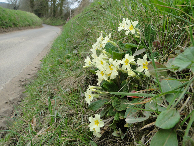
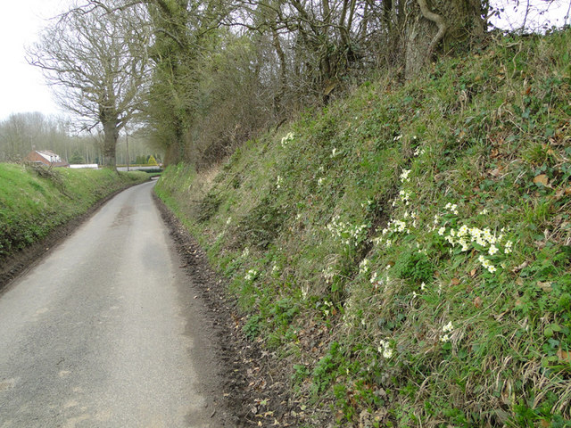
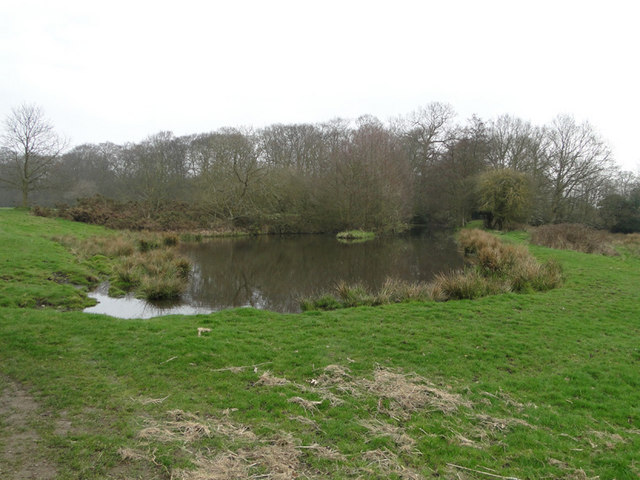
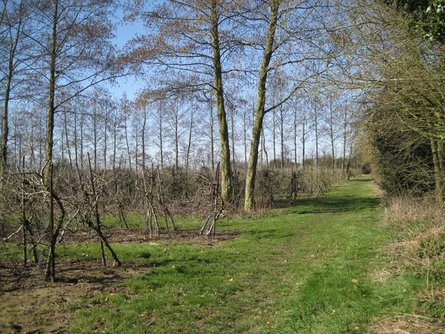
Thurgarton Wood boasts a diverse range of tree species, including towering oaks, beech, birch, and ash trees. The dense canopy provides a shaded and cool environment, perfect for a leisurely stroll on a hot summer's day. The forest floor is covered with an array of wildflowers, ferns, and mosses, creating a picturesque and serene atmosphere.
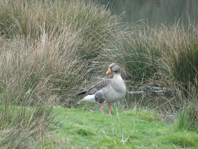
The wood is home to a wide variety of wildlife. Visitors may catch glimpses of roe deer, foxes, and badgers, as well as a multitude of bird species such as woodpeckers, owls, and warblers. Nature lovers can also spot butterflies and dragonflies fluttering around the woodland edges, adding a touch of vibrant color to the surroundings.
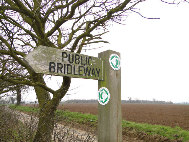
There are several well-maintained trails and footpaths that wind their way through Thurgarton Wood, allowing visitors to explore its natural beauty at their own pace. Along the way, one may encounter charming wooden benches and picnic spots, providing the perfect opportunity to rest and take in the peaceful ambiance.
Thurgarton Wood is a true haven of tranquility, offering a refreshing escape from the hustle and bustle of everyday life. Whether you are seeking a peaceful walk, a chance to spot wildlife, or simply a place to immerse yourself in nature, this enchanting forest is a must-visit destination in Norfolk.
If you have any feedback on the listing, please let us know in the comments section below.
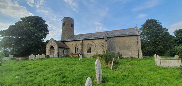
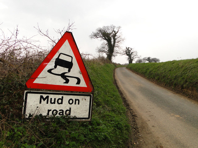
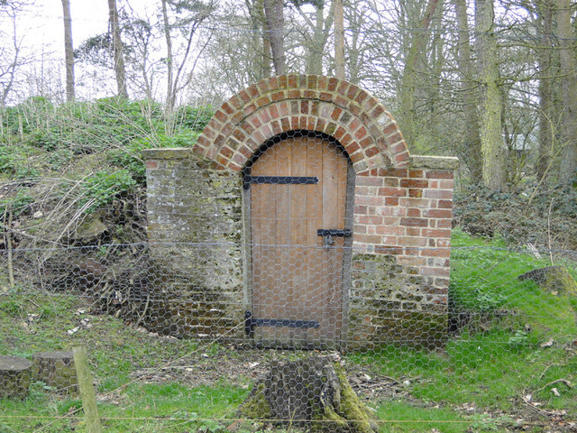
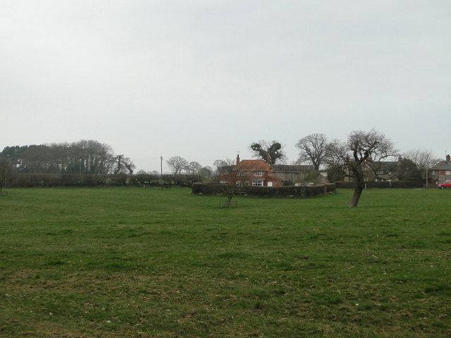
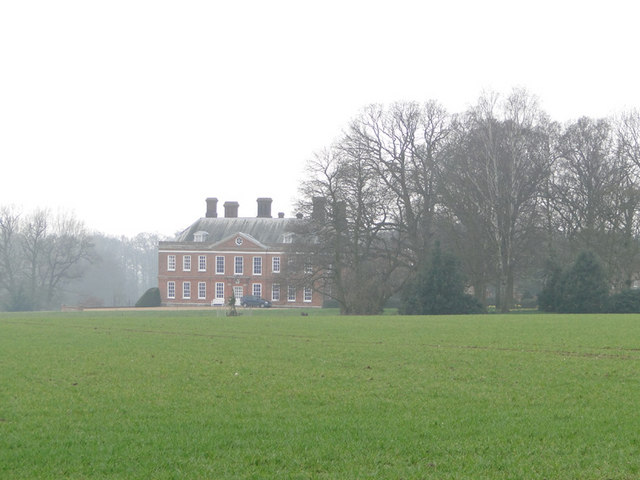
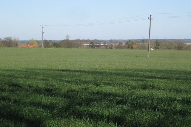
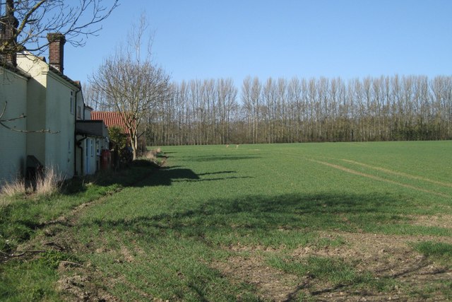
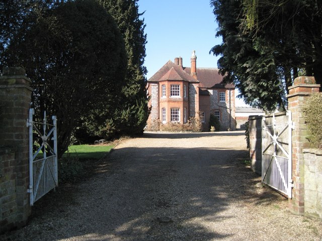
Thurgarton Wood Images
Images are sourced within 2km of 52.864147/1.2565443 or Grid Reference TG1934. Thanks to Geograph Open Source API. All images are credited.


Thurgarton Wood is located at Grid Ref: TG1934 (Lat: 52.864147, Lng: 1.2565443)
Administrative County: Norfolk
District: North Norfolk
Police Authority: Norfolk
What 3 Words
///cabbage.dated.proves. Near Aylsham, Norfolk
Nearby Locations
Related Wikis
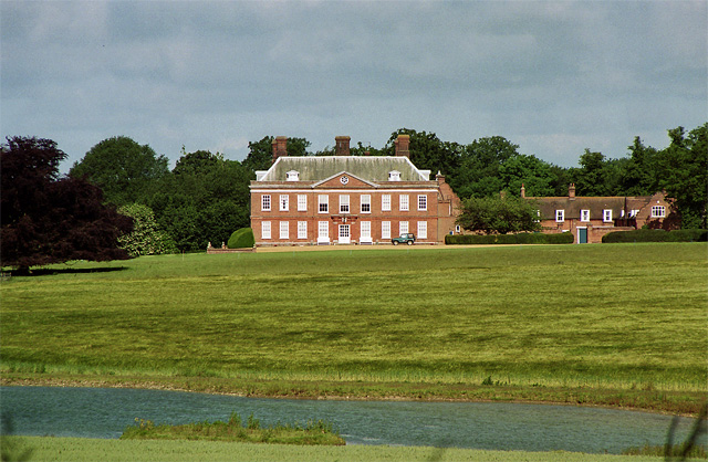
Hanworth Hall
Hanworth Hall is a large late 17th-century country house some 500 m to the south of the village of Hanworth, Norfolk, England. It is protected and recognised...

Hanworth, Norfolk
Hanworth is a village and a civil parish in the English county of Norfolk. It is 18.8 miles (30.3 km) north of Norwich, 5.4 miles (8.7 km) south-west of...

Aldborough, Norfolk
Aldborough is a village and former civil parish, now in the parish of Aldborough and Thurgarton (together with Thurgarton), in the North Norfolk district...

Gur Beck
Gur Beck is a minor watercourse which rises in the north of the English county of Norfolk. It is a tributary of the Scarrow Beck. Its spring is a little...
Nearby Amenities
Located within 500m of 52.864147,1.2565443Have you been to Thurgarton Wood?
Leave your review of Thurgarton Wood below (or comments, questions and feedback).