Alby Hill Carr
Wood, Forest in Norfolk North Norfolk
England
Alby Hill Carr
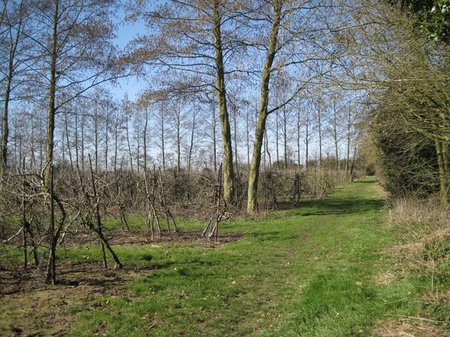
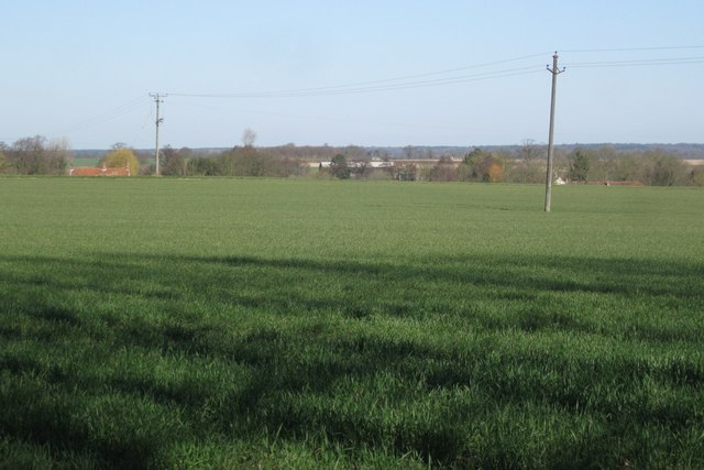
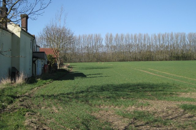
Alby Hill Carr, Norfolk (Wood, Forest) is a picturesque rural area located in the county of Norfolk, England. Situated on a gently rolling landscape, it is known for its abundant woodland and serene countryside atmosphere.
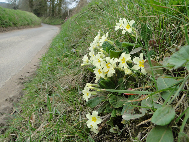
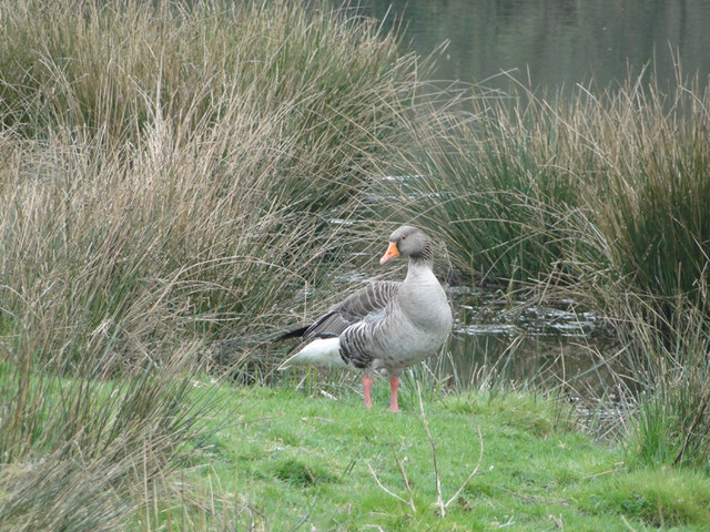
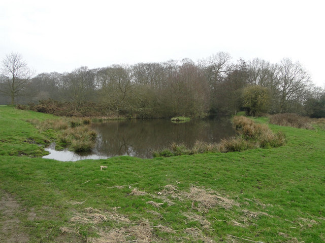
Covering an area of approximately 200 acres, Alby Hill Carr boasts a diverse range of tree species, including oak, beech, and ash. These woodlands provide a habitat for a variety of wildlife, making it a popular spot for nature lovers and birdwatchers. The area is particularly known for its population of red squirrels, which can often be spotted darting between the trees.
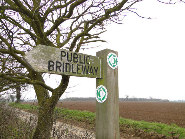
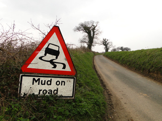
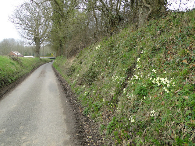
The peacefulness and tranquility of Alby Hill Carr make it an ideal destination for outdoor activities such as hiking, walking, and cycling. There are several well-marked trails and footpaths that wind through the woods, offering visitors the chance to explore the natural beauty of the area.
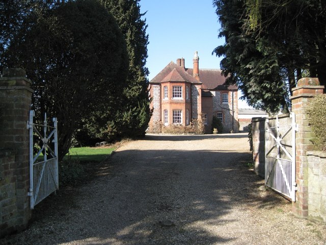
In addition to its natural attractions, Alby Hill Carr also includes a small village with a scattering of charming cottages and farmhouses. The village is home to a close-knit community that takes pride in preserving the area's rural charm and traditional way of life.
Overall, Alby Hill Carr, Norfolk (Wood, Forest) is a captivating destination for those seeking a peaceful retreat in the heart of nature. With its picturesque woodlands, abundant wildlife, and idyllic countryside scenery, this area offers a truly immersive experience for visitors and locals alike.
If you have any feedback on the listing, please let us know in the comments section below.
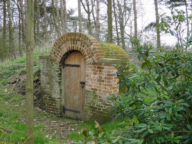
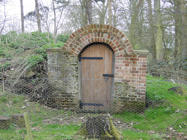
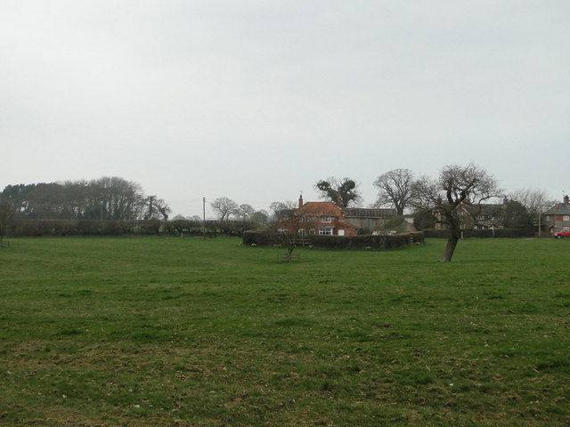
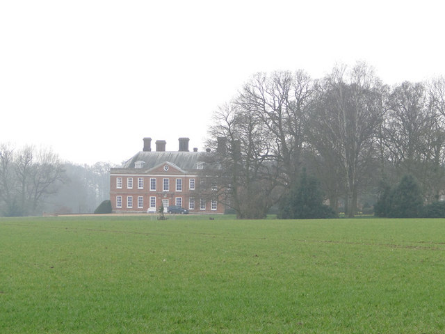
Alby Hill Carr Images
Images are sourced within 2km of 52.864239/1.261366 or Grid Reference TG1934. Thanks to Geograph Open Source API. All images are credited.


Alby Hill Carr is located at Grid Ref: TG1934 (Lat: 52.864239, Lng: 1.261366)
Administrative County: Norfolk
District: North Norfolk
Police Authority: Norfolk
What 3 Words
///paint.smirking.petition. Near Aylsham, Norfolk
Nearby Locations
Related Wikis

Hanworth, Norfolk
Hanworth is a village and a civil parish in the English county of Norfolk. It is 18.8 miles (30.3 km) north of Norwich, 5.4 miles (8.7 km) south-west of...
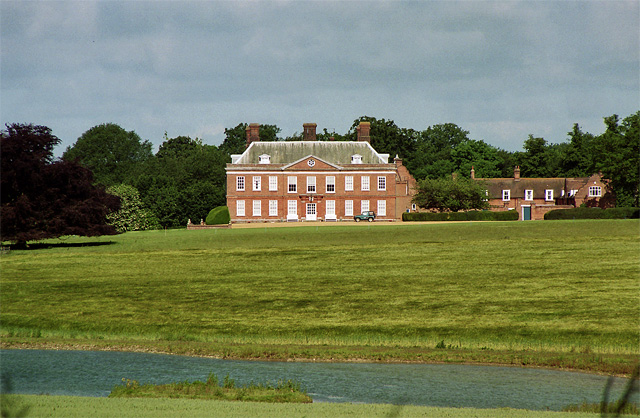
Hanworth Hall
Hanworth Hall is a large late 17th century country house some 500m to the south of the village of Hanworth, Norfolk, England. It is protected and recognised...

Gur Beck
Gur Beck is a minor watercourse which rises in the north of the English county of Norfolk. It is a tributary of the Scarrow Beck. Its spring is a little...

Aldborough, Norfolk
Aldborough is a village and former civil parish, now in the parish of Aldborough and Thurgarton (together with Thurgarton), in the North Norfolk district...

Thurgarton, Norfolk
Thurgarton is a village and former civil parish, now in the parish of Aldborough and Thurgarton, in the North Norfolk district of the county of Norfolk...
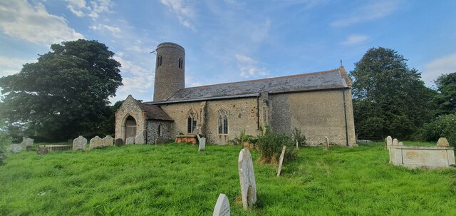
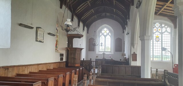
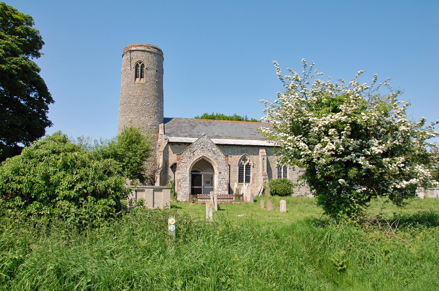
All Saints Church, Thurgarton
All Saints' Church is a redundant Anglican church in the village of Thurgarton, Norfolk, England. It is recorded in the National Heritage List for England...
Alby with Thwaite
Alby with Thwaite is a civil parish in the English county of Norfolk. The parish straddles the A140 some 10 km south of Cromer and 30 km north of Norwich...

Gunton Park Lake
Gunton Park Lake is a 18.3-hectare (45-acre) biological Site of Special Scientific Interest by Gunton Hall, north-west of North Walsham in Norfolk. It...
Nearby Amenities
Located within 500m of 52.864239,1.261366Have you been to Alby Hill Carr?
Leave your review of Alby Hill Carr below (or comments, questions and feedback).