Craft Shaw
Wood, Forest in Kent Shepway
England
Craft Shaw
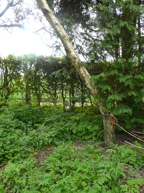
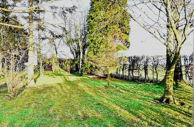
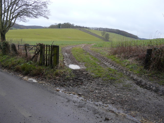
Craft Shaw, located in Kent, England, is a picturesque woodland area known for its natural beauty and serene atmosphere. Covering an expansive area, Craft Shaw is a popular destination for nature lovers and outdoor enthusiasts.
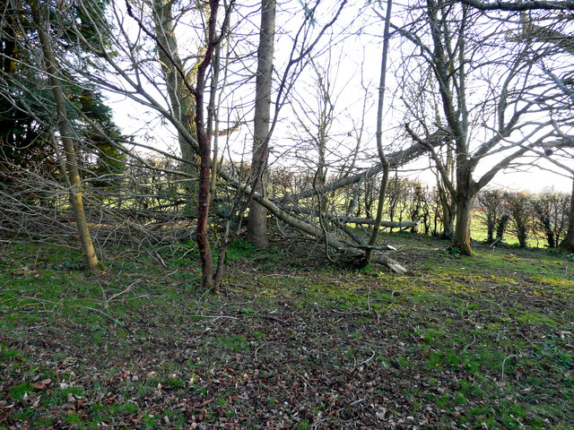
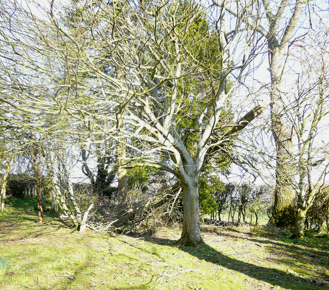
The woodland is predominantly composed of a diverse range of trees, including oak, beech, and pine, which give the area a striking and vibrant appearance throughout the year. The dense forest canopy provides shelter to a plethora of wildlife species, making it an ideal spot for birdwatching and animal spotting.
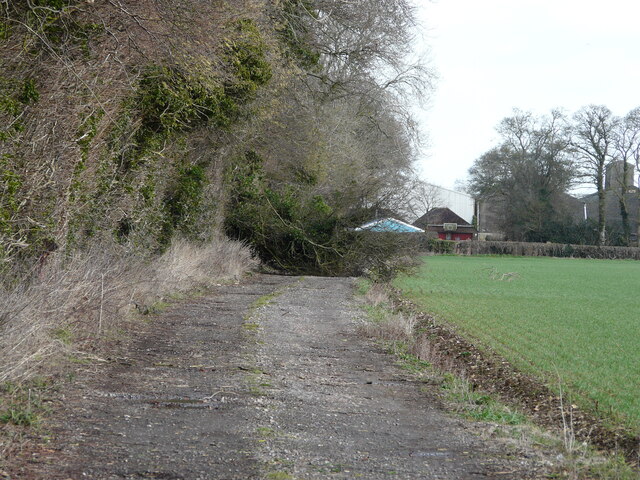
Craft Shaw offers numerous walking trails that wind through the forest, allowing visitors to explore its hidden gems and enjoy its tranquil ambiance. These well-maintained paths cater to all levels of fitness and are suitable for both leisurely strolls and more challenging hikes.
Visitors to Craft Shaw can also enjoy a range of recreational activities, such as picnicking, camping, and photography. The well-equipped picnic areas provide a perfect spot to relax and enjoy the surrounding natural beauty, while the designated camping sites offer a unique opportunity to spend a night under the stars.
The forest is also home to a variety of plants and wildflowers, creating a vibrant and colorful display during the spring and summer months. This makes Craft Shaw a popular destination for botany enthusiasts and photographers seeking to capture the beauty of nature.
Overall, Craft Shaw in Kent is a captivating woodland area that offers a peaceful escape from the bustling city life. With its diverse flora and fauna, well-maintained walking trails, and recreational opportunities, it continues to attract visitors from near and far who seek solace in the beauty of nature.
If you have any feedback on the listing, please let us know in the comments section below.
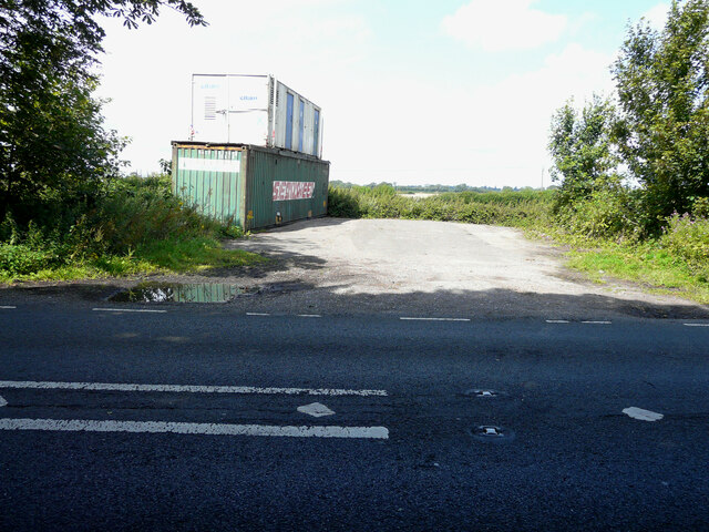
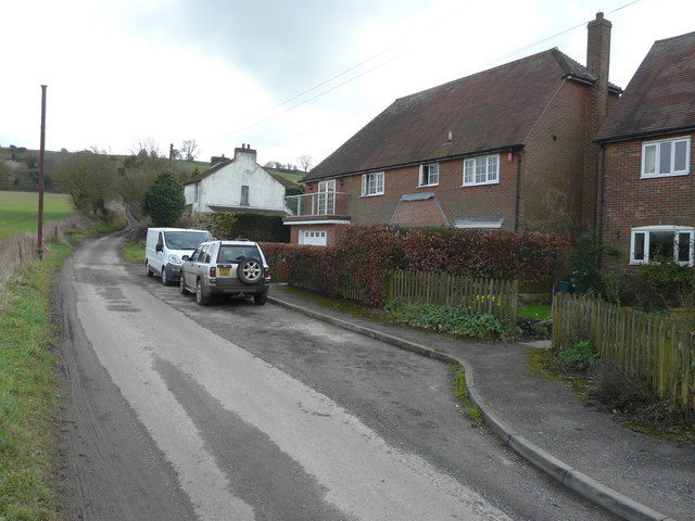
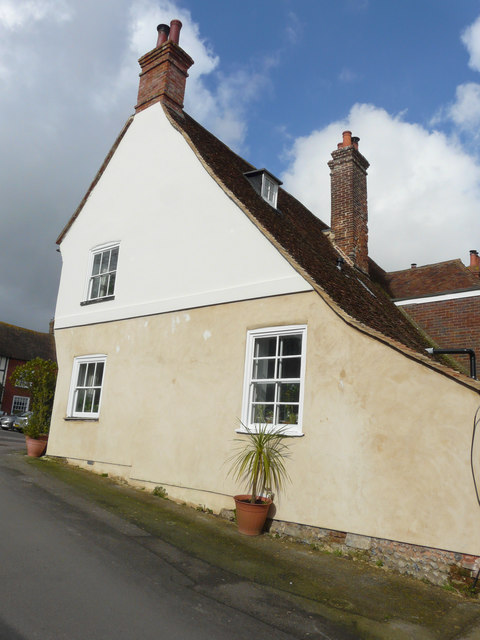
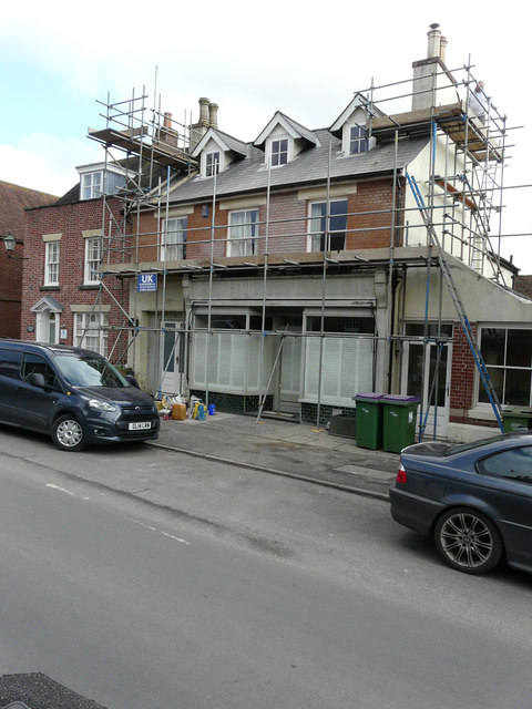
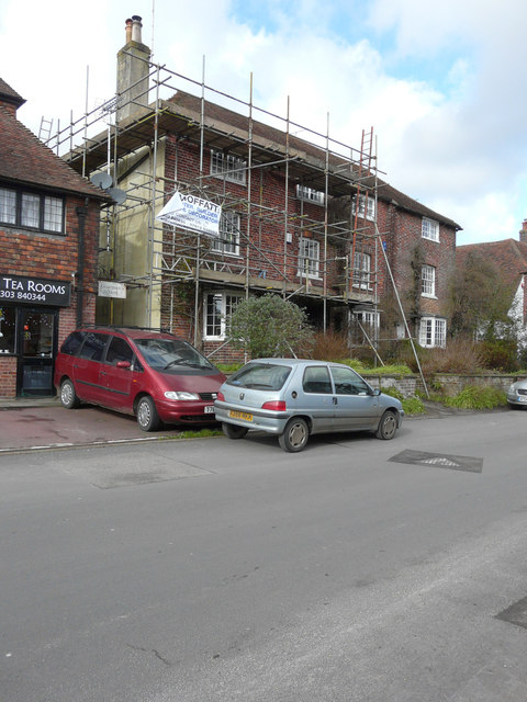
Craft Shaw Images
Images are sourced within 2km of 51.153327/1.1394404 or Grid Reference TR1944. Thanks to Geograph Open Source API. All images are credited.


Craft Shaw is located at Grid Ref: TR1944 (Lat: 51.153327, Lng: 1.1394404)
Administrative County: Kent
District: Shepway
Police Authority: Kent
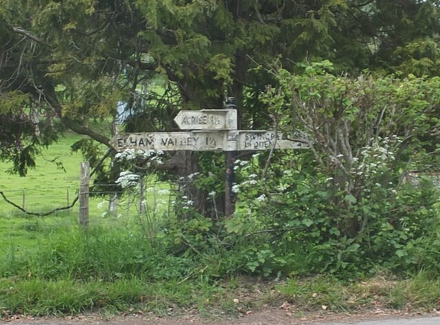
What 3 Words
///engraving.fortified.written. Near Wootton, Kent
Nearby Locations
Related Wikis
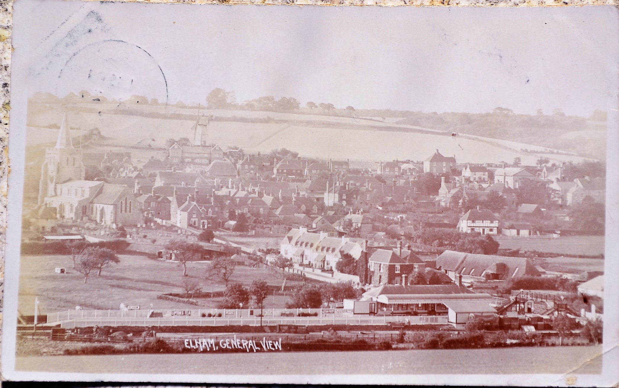
Elham railway station
Elham railway station is a disused railway station on the Elham Valley Railway which served the village of Elham in Kent and the surrounding villages....

Acrise
Acrise is an ecclesiastical and civil parish in the Folkestone and Hythe district, Kent, England, located between Elham and Densole and about six miles...

St Martin's Church, Acrise
St Martin's Church is an Anglican church in the village and parish of Acrise in Kent, England. The church dates back to the Norman era, and was designated...

Acrise Place
Acrise Place is a mainly 18th-century house located about 6 miles (9.6 km) north of Folkestone in the village of Acrise, Kent, England. It is a Grade II...

Elham, Kent
Elham () is a village and civil parish in East Kent situated approximately 9 miles (14 km) south of Canterbury and 5 miles (8 km) north west of Folkestone...
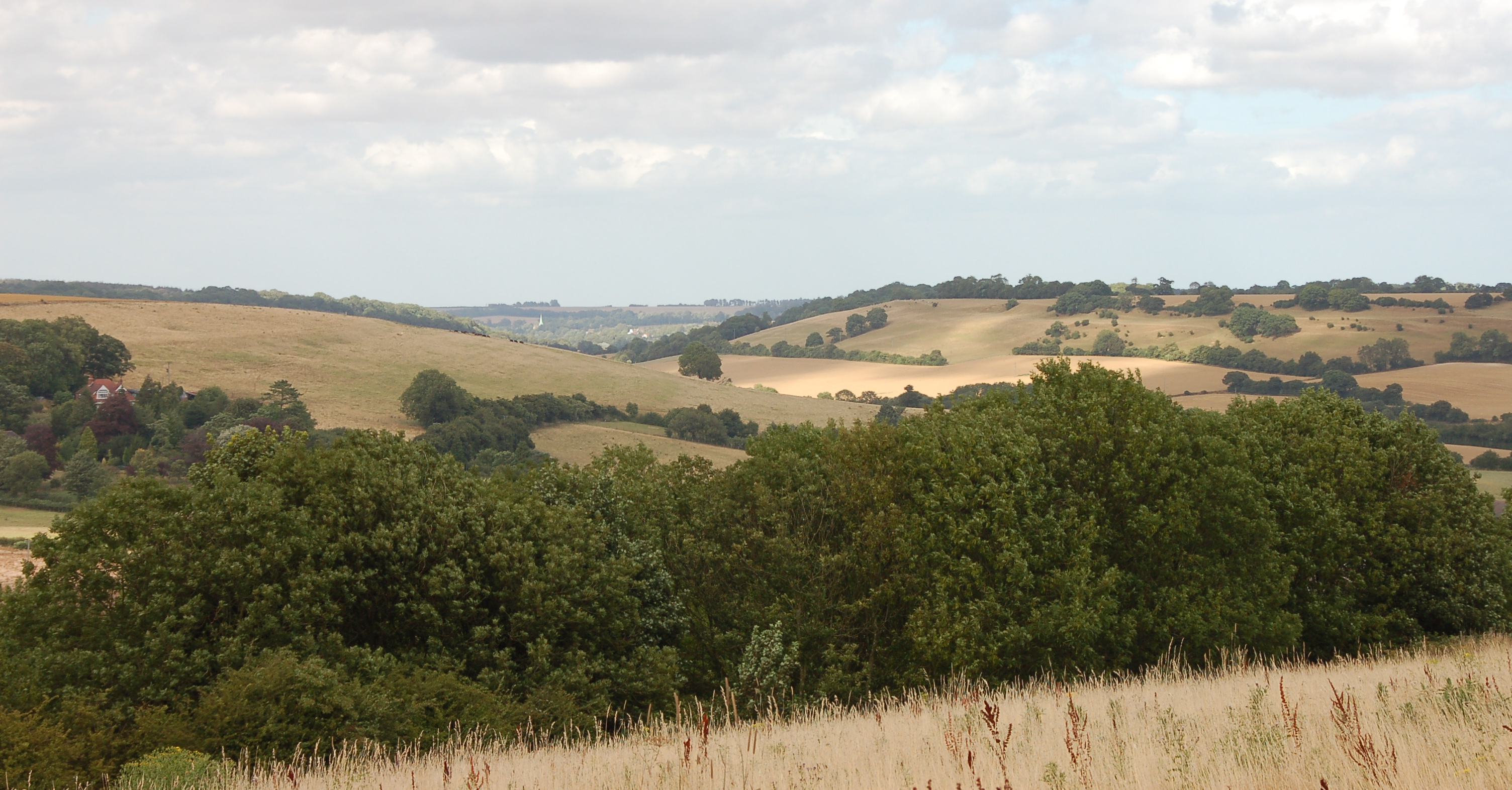
Elham Valley
The Elham Valley is a chalk valley carved by the River Nailbourne situated in the North Downs in East Kent. The valley is named after the settlement of...

Selsted
Selsted is a hamlet in Kent, England. It is in the local government district of Folkestone and Hythe, and the electoral ward of North Downs East.During...

Wingmore
Wingmore is a small village between Canterbury and Folkestone in Kent, England. It is situated in the Elham Valley approximately halfway between the larger...
Nearby Amenities
Located within 500m of 51.153327,1.1394404Have you been to Craft Shaw?
Leave your review of Craft Shaw below (or comments, questions and feedback).