Little Knowlhill Shaw

Wood, Forest in Kent Shepway

England

Little Knowlhill Shaw

Damage by Storm Eunice In the garden of <a href="https://www.geograph.org.uk/photo/1273012">TR2043 : Winterdown Cottage</a>. The damage was caused by the branch of a crack willow being torn off and coming to rest an angle. The incidence may have occurred on Friday 18 February when, at noon, there was an especially violent gust, which caused a lack of power (for 50 hours) to this and other properties in the vicinity.
Damage by Storm Eunice Credit: John Baker

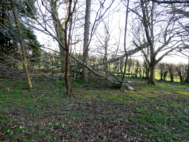
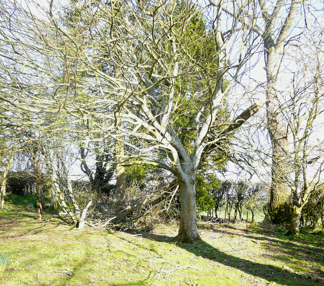
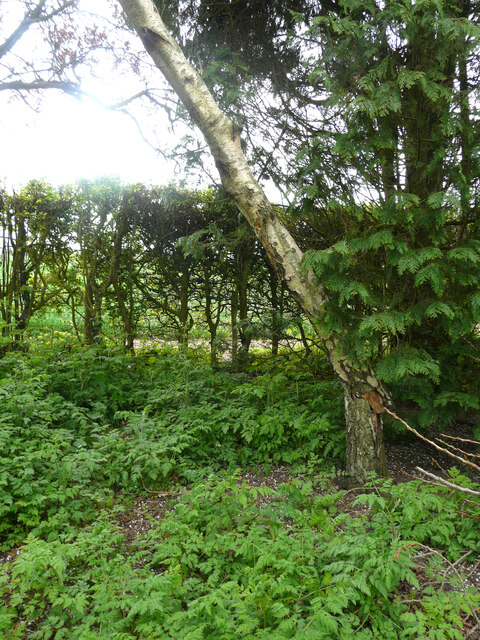
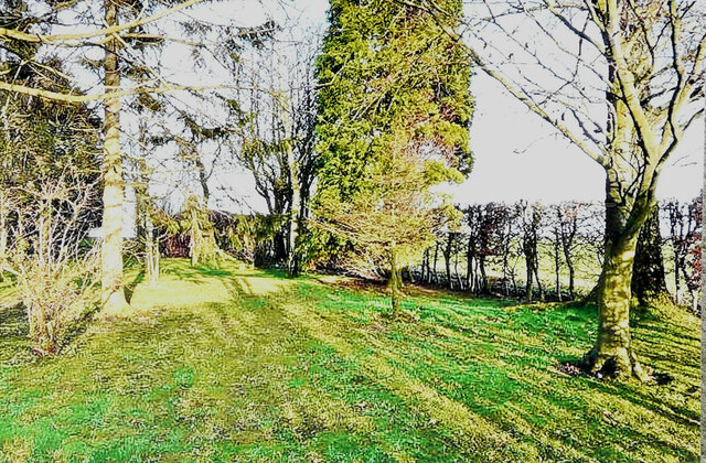
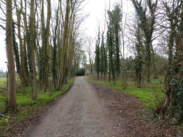
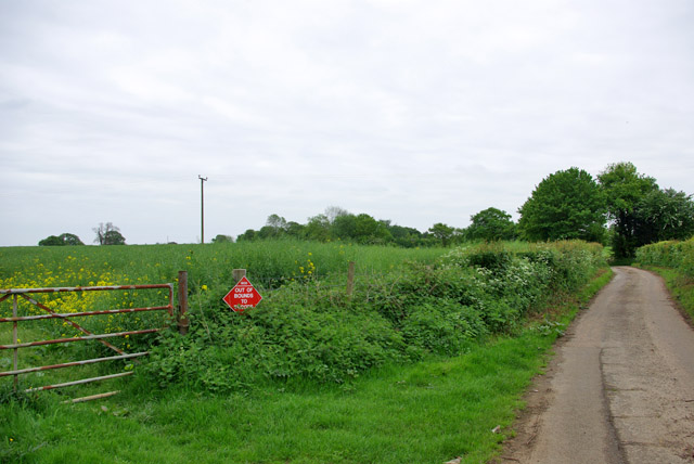
Little Knowlhill Shaw is a small woodland area located in the county of Kent, England. It is situated in the village of Knowlhill, near the larger town of Sevenoaks. The woodland covers an area of approximately 10 acres and is known for its diverse range of tree species.

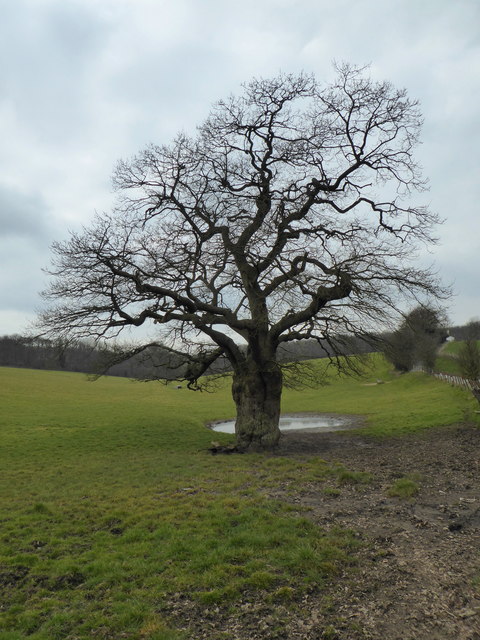
The shaw is predominantly made up of broad-leaved trees such as oak, ash, and beech, which provide a dense canopy covering the forest floor. This creates a rich and varied habitat for a wide range of wildlife, including birds, mammals, and insects. The woodland is particularly popular with birdwatchers, who come to spot species such as woodpeckers, nuthatches, and tawny owls.

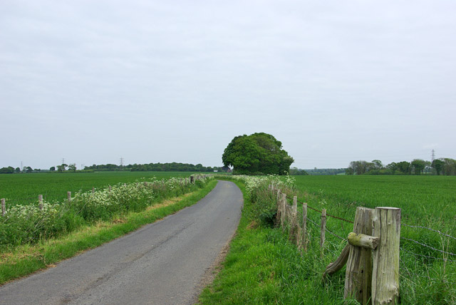
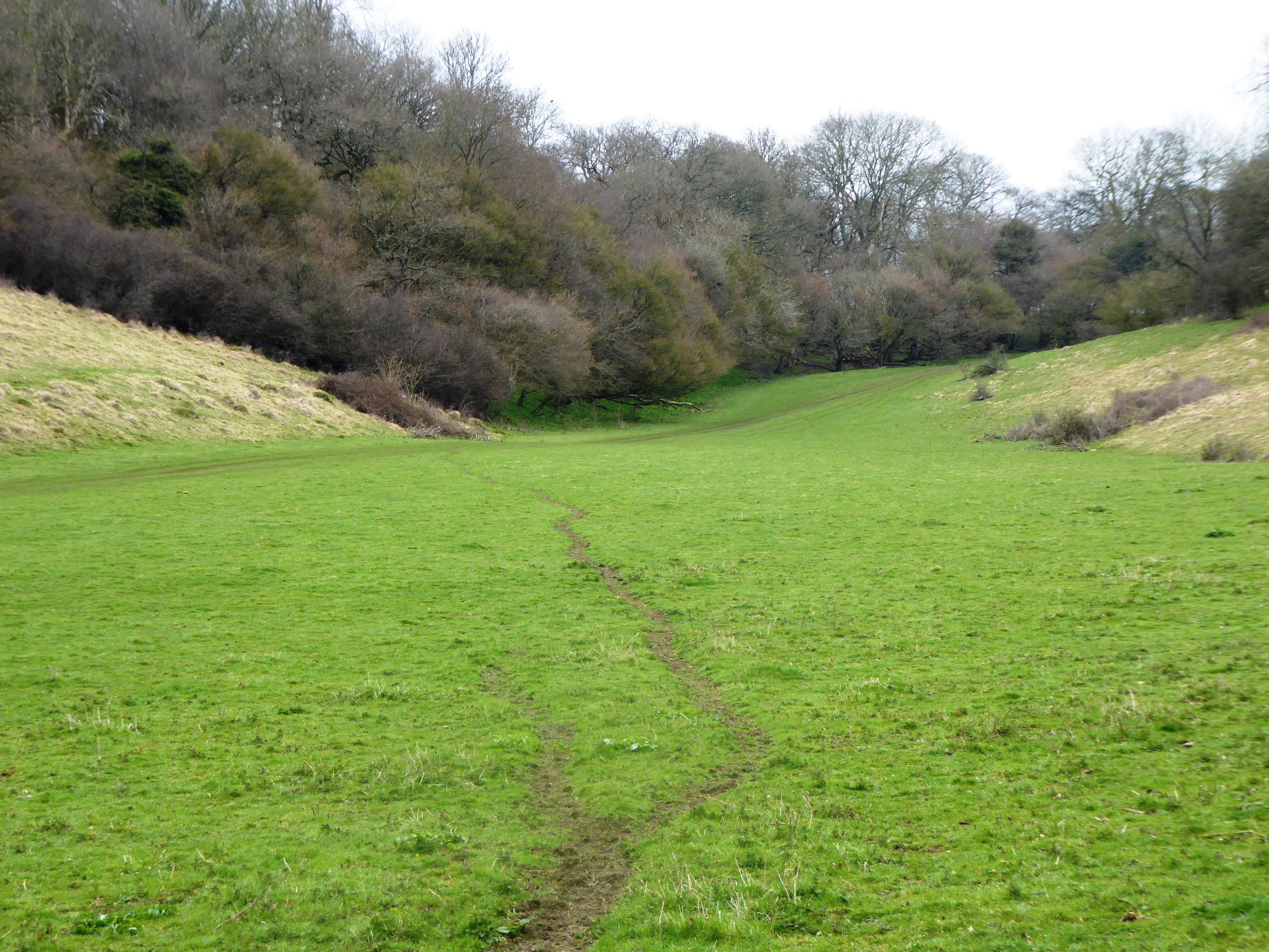
The shaw is also home to several walking trails, which allow visitors to explore the woodland and enjoy its natural beauty. These paths wind through the trees, offering glimpses of wildflowers, ferns, and mosses that thrive in the damp, shaded conditions. In the spring, the woodland floor is carpeted with bluebells, creating a stunning display of color.

Little Knowlhill Shaw is managed by a local conservation group, who work to protect and preserve its natural environment. They regularly carry out maintenance tasks such as tree planting and removal of invasive species to ensure the woodland remains healthy and sustainable.

Overall, Little Knowlhill Shaw is a hidden gem in the Kent countryside, offering visitors a peaceful retreat and the chance to connect with nature. Its diverse flora and fauna make it a haven for wildlife enthusiasts and nature lovers alike.

If you have any feedback on the listing, please let us know in the comments section below.

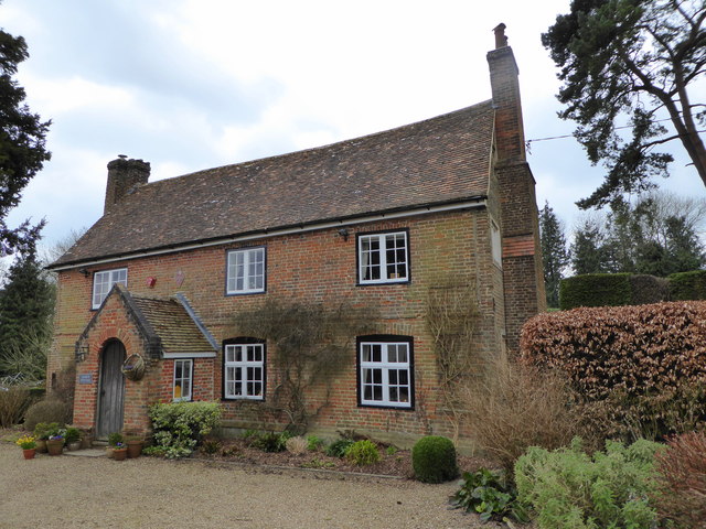
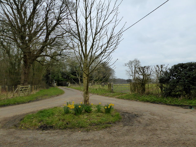
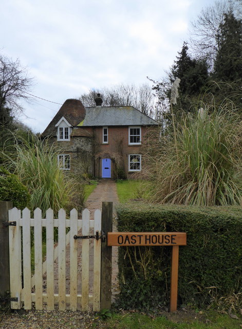
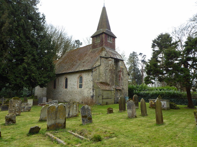
Little Knowlhill Shaw Images

Images are sourced within 2km of 51.13291/1.1376971 or Grid Reference TR1941. Thanks to Geograph Open Source API. All images are credited.

Damage by Storm Eunice In the garden of <a href="https://www.geograph.org.uk/photo/1273012">TR2043 : Winterdown Cottage</a>. The damage was caused by the branch of a crack willow being torn off and coming to rest an angle. The incidence may have occurred on Friday 18 February when, at noon, there was an especially violent gust, which caused a lack of power (for 50 hours) to this and other properties in the vicinity.
Damage by Storm Eunice
In the garden of TR2043 : Winterdown Cottage. The damage was caused by the branch of a crack willow being torn off and coming to rest an angle. The incidence may have occurred on Friday 18 February when, at noon, there was an especially violent gust, which caused a lack of power (for 50 hours) to this and other properties in the vicinity.
Damage by Storm Eunice In the garden of <a href="https://www.geograph.org.uk/photo/1273012">TR2043 : Winterdown Cottage</a>. The damage was caused by the branch of a crack willow being torn off and coming to rest an angle. The incidence may have occurred on Friday 18 February when, at noon, there was an especially violent gust, which caused a lack of power (for 50 hours) to this and other properties in the vicinity. 

This view of the <a href="https://www.geograph.org.uk/photo/7152703">TR2043 : Damage by Storm Eunice</a> was taken from  the northwest.
Damage by Storm Eunice
In the garden of TR2043 : Winterdown Cottage. The damage was caused by the branch of a crack willow being torn off and coming to rest an angle. The incidence may have occurred on Friday 18 February when, at noon, there was an especially violent gust, which caused a lack of power (for 50 hours) to this and other properties in the vicinity. This view of the TR2043 : Damage by Storm Eunice was taken from the northwest.
Damage by Storm Eunice A silver birch (betula pendula)) in the garden of <a href="https://www.geograph.org.uk/photo/1273012">TR2043 : Winterdown Cottage</a> had the bottom of its trunk split by the force of the wind, which resulted in the tree adopting a pronounced lean. The incidence may have occurred on Friday 18 February when, at noon, there was an especially violent gust, which caused a lack of power (for 50 hours) to this and other properties in the vicinity.
Damage by Storm Eunice
A silver birch (betula pendula)) in the garden of TR2043 : Winterdown Cottage had the bottom of its trunk split by the force of the wind, which resulted in the tree adopting a pronounced lean. The incidence may have occurred on Friday 18 February when, at noon, there was an especially violent gust, which caused a lack of power (for 50 hours) to this and other properties in the vicinity.
A selection of trees In the garden of <a href="https://www.geograph.org.uk/photo/1273012">TR2043 : Winterdown Cottage</a> showing the silver birch (betula pendula), which 14 years later suffered severe <a href="https://www.geograph.org.uk/photo/7154502">TR2043 : Damage by Storm Eunice</a>.  .
A selection of trees
In the garden of TR2043 : Winterdown Cottage showing the silver birch (betula pendula), which 14 years later suffered severe TR2043 : Damage by Storm Eunice. .
Court Cottage, Acrise A Grade II listed late 16th and early 17th century building with an 18th century front.
Court Cottage, Acrise
A Grade II listed late 16th and early 17th century building with an 18th century front.
Lanes at Acrise The track ahead leads to The Old Rectory, to the right the lane leads to Acrise and St. Martin's Church.
Lanes at Acrise
The track ahead leads to The Old Rectory, to the right the lane leads to Acrise and St. Martin's Church.
Oast House,  Acrise An unusual oast house conversion on Hoad Road.
Oast House, Acrise
An unusual oast house conversion on Hoad Road.
St. Martin's Church, Acrise A Grade I listed building dating from the 11th century.
St. Martin's Church, Acrise
A Grade I listed building dating from the 11th century.
Path leading to St. Martin's Church, Acrise
Winter tree, Acrise
Winter tree, Acrise
Lane near Elham Purposely heading towards nowhere in particular.
Lane near Elham
Purposely heading towards nowhere in particular.
Farm track near Paddlesworth Court Farm It appears to be mainly access to stables and paddocks.
Farm track near Paddlesworth Court Farm
It appears to be mainly access to stables and paddocks.
Lane from Paddlesworth to Densole
Lane from Denshole to Paddlesworth
Out of bounds to troops A military training area covers a large area of agricultural land around here, so these signs are frequent where troops are not supposed to roam.
Out of bounds to troops
A military training area covers a large area of agricultural land around here, so these signs are frequent where troops are not supposed to roam.
Lane towards Mill Down Farm
View towards Hunts Rough Wood Behind the hedge on the right of the lane to Great Shuttlesfield Farm.
View towards Hunts Rough Wood
Behind the hedge on the right of the lane to Great Shuttlesfield Farm.
Turning dead wood into sawdust From the other side of the valley, where I live, the noise sounded like that made by a helicopter. As the Army uses land in this area for military exercises, my neighbours and I assumed it was one of theirs. However, we had suffered the noise for three hours during the previous afternoon and were to suffer it for another three, the following morning. My curiosity got the better of me, which is why I took the photograph. It shows a hydraulic lift, perched on a tractor’s trailer, lifting lengths of dead wood with its claw, which were then dropped into a machine, which ground them into sawdust. This was then transferred into the trailer of the other tractor to be removed from the site, when the trailer was full.
Turning dead wood into sawdust
From the other side of the valley, where I live, the noise sounded like that made by a helicopter. As the Army uses land in this area for military exercises, my neighbours and I assumed it was one of theirs. However, we had suffered the noise for three hours during the previous afternoon and were to suffer it for another three, the following morning. My curiosity got the better of me, which is why I took the photograph. It shows a hydraulic lift, perched on a tractor’s trailer, lifting lengths of dead wood with its claw, which were then dropped into a machine, which ground them into sawdust. This was then transferred into the trailer of the other tractor to be removed from the site, when the trailer was full.
Show me another place!

Little Knowlhill Shaw is located at Grid Ref: TR1941 (Lat: 51.13291, Lng: 1.1376971)

Administrative County: Kent

District: Shepway

Police Authority: Kent

What 3 Words

///combines.self.caused. Near Hawkinge, Kent

Related Wikis

Acrise Place

Acrise Place is a mainly 18th-century house located about 6 miles (9.6 km) north of Folkestone in the village of Acrise, Kent, England. It is a Grade II...

St Martin's Church, Acrise

St Martin's Church is an Anglican church in the village and parish of Acrise in Kent, England. The church dates back to the Norman era, and was designated...

Acrise

Acrise is an ecclesiastical and civil parish in the Folkestone and Hythe district, Kent, England, located between Elham and Densole and about six miles...

Paddlesworth

Paddlesworth is a hamlet and parish located about 3 miles (4.8 km) NNW of Folkestone in Kent, England, near Hawkinge. Paddlesworth was a sighting-point...

Cheriton Hill

Cheriton Hill is a hill overlooking the English Channel near Folkestone in the south-east corner of Kent, England. The relatively low-lying hill (reaching...

Great Shuttlesfield Down

Great Shuttlesfield Down is a 21.8-hectare (54-acre) biological Site of Special Scientific Interest north of Folkestone in Kent.This unimproved grassland...

Kent Battle of Britain Museum

The Kent Battle of Britain Museum is an aviation museum located in Hawkinge, Kent, focused on the Allied and Axis men of the Battle of Britain. The Spirit...

RAF Hawkinge

Royal Air Force Hawkinge or more simply RAF Hawkinge is a former Royal Air Force station located 13.23 miles (21.29 km) east of Ashford, 2.2 miles (3.5...

Nearby Amenities

Located within 500m of 51.13291,1.1376971
The data included in this document is from www.openstreetmap.org. The data is made available under ODbL.

Have you been to Little Knowlhill Shaw?

Leave your review of Little Knowlhill Shaw below (or comments, questions and feedback).