Boleyns Covert
Wood, Forest in Suffolk Babergh
England
Boleyns Covert

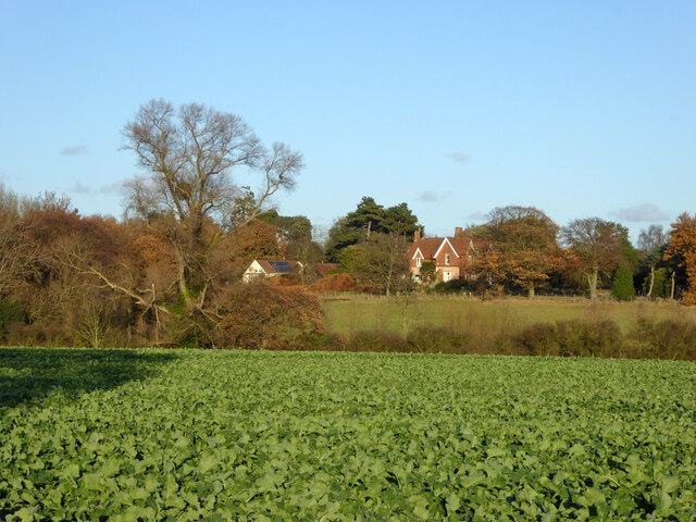
Boleyns Covert, located in Suffolk, England, is a captivating wood or forest that offers visitors a tranquil retreat amidst nature's beauty. Spanning an area of approximately [insert size], this enchanting woodland is known for its rich biodiversity and historical significance.
The forest is home to a diverse range of flora and fauna, boasting an array of native tree species such as oak, beech, and birch. The dense canopy provides a haven for various bird species including woodpeckers, owls, and warblers, making it a paradise for birdwatching enthusiasts. Nature enthusiasts can also spot an array of woodland mammals such as deer, foxes, and squirrels, adding to the allure of this natural haven.
Boleyns Covert holds historical significance as well, with its name thought to be derived from Anne Boleyn, the second wife of King Henry VIII. Local folklore suggests that the covert was once a hunting ground for the Boleyn family during their residence at nearby Blickling Hall.
Visitors to Boleyns Covert can explore its picturesque trails, which wind through the woodland, offering breathtaking views of ancient trees, vibrant wildflowers, and babbling brooks. The peaceful atmosphere and serene surroundings make it an ideal location for nature walks, picnics, or simply unwinding amidst the calming sounds of nature.
Whether you're a nature enthusiast, history buff, or seeking a serene escape from city life, Boleyns Covert in Suffolk is a must-visit destination that combines natural beauty and historical charm.
If you have any feedback on the listing, please let us know in the comments section below.
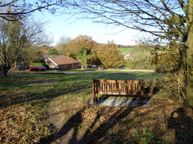
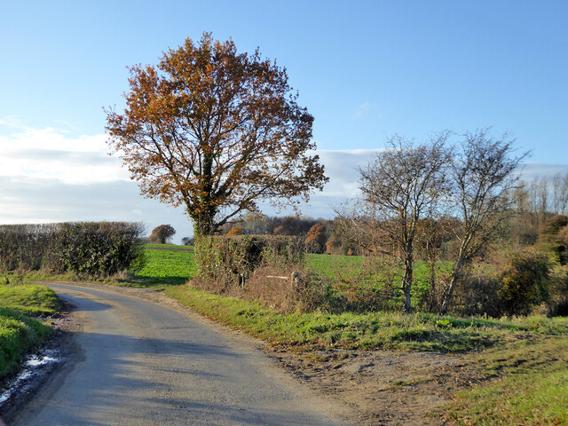
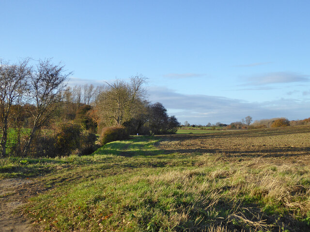
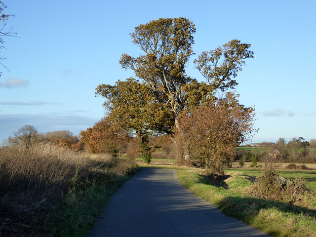
Boleyns Covert Images
Images are sourced within 2km of 51.964162/1.19505 or Grid Reference TM1934. Thanks to Geograph Open Source API. All images are credited.


Boleyns Covert is located at Grid Ref: TM1934 (Lat: 51.964162, Lng: 1.19505)
Administrative County: Suffolk
District: Babergh
Police Authority: Suffolk
What 3 Words
///mutual.loosed.coconuts. Near Holbrook, Suffolk
Nearby Locations
Related Wikis

Harkstead
Harkstead is a village and civil parish in the county of Suffolk, England. The village is located on the northern bank of the River Stour estuary at Holbrook...
Stour Estuary
Stour Estuary is a 2,523 hectare biological and geological Site of Special Scientific Interest which stretches from Manningtree to Harwich in Essex and...

Erwarton
Erwarton or Arwarton is a small village and civil parish in the Babergh district of Suffolk, England. The parish includes the hamlet of Shop Corner. Located...

River Stour, Suffolk
The River Stour (, pronounced rhyming with either "tour" or "sour") is a major river in East Anglia, England. It is 47 miles (76 km) long and forms most...
Nearby Amenities
Located within 500m of 51.964162,1.19505Have you been to Boleyns Covert?
Leave your review of Boleyns Covert below (or comments, questions and feedback).