Hoath Wood
Wood, Forest in Kent Canterbury
England
Hoath Wood

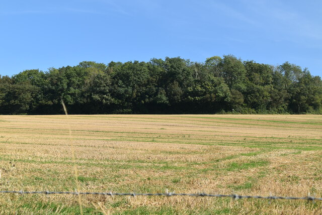
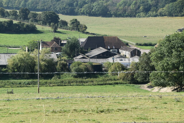
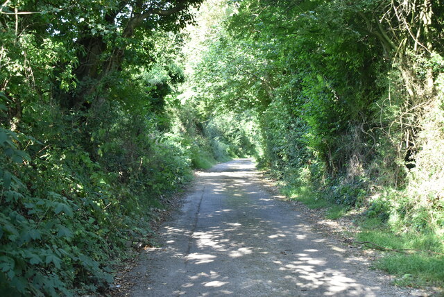
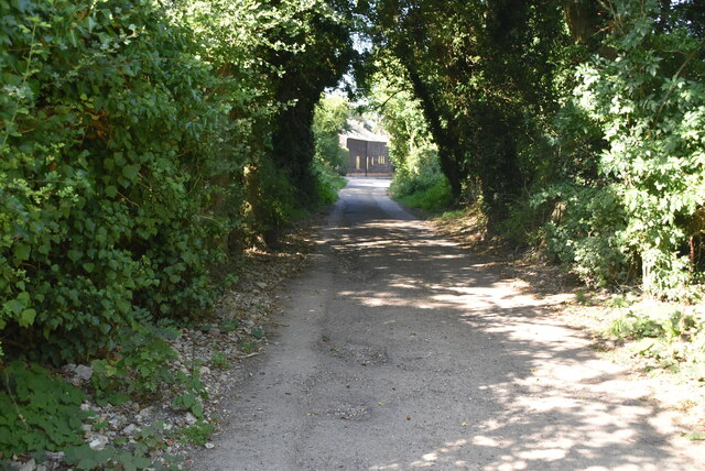
Hoath Wood is a picturesque woodland located in the county of Kent, England. Covering an area of approximately 450 acres, it is situated near the village of Chiddingstone Hoath in the Sevenoaks District. The wood is renowned for its natural beauty and rich biodiversity, attracting nature enthusiasts and hikers alike.
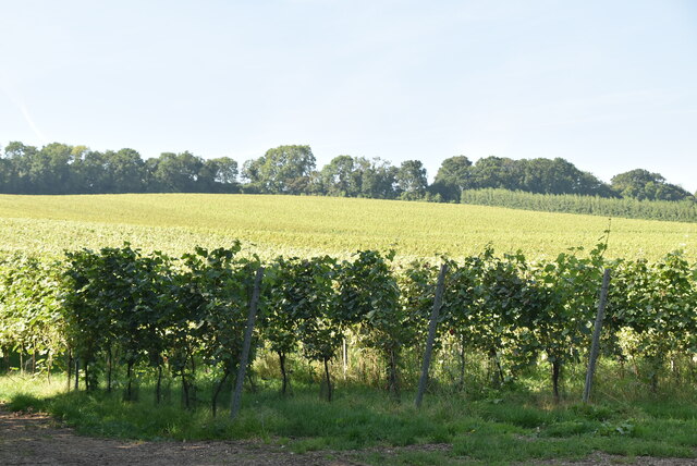
The woodland primarily consists of mixed broadleaf trees, including oak, beech, and chestnut, creating a diverse and vibrant ecosystem. It is also home to a variety of wildlife, such as deer, badgers, foxes, and numerous bird species, making it an ideal spot for birdwatching and wildlife photography.
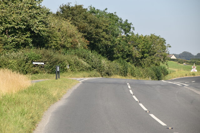
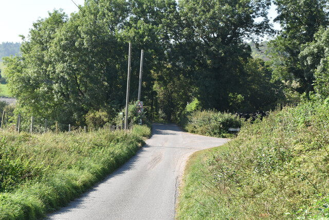
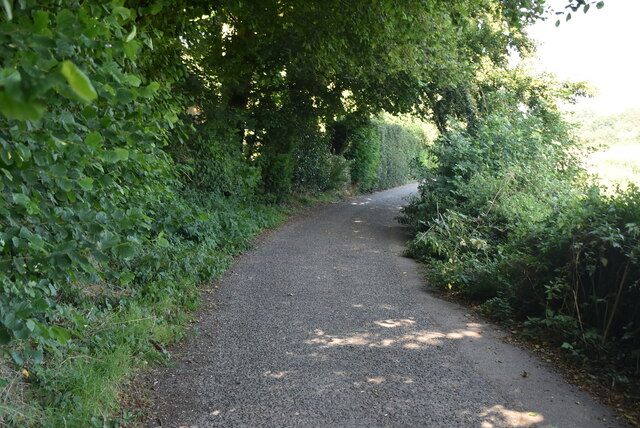
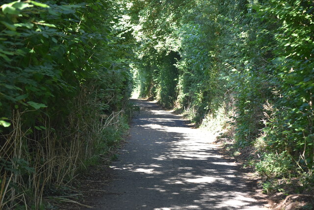
Hoath Wood offers several well-maintained trails, providing visitors with the opportunity to explore its enchanting surroundings. These trails vary in length and difficulty, catering to both casual walkers and more experienced hikers. Along the way, visitors can admire the serene atmosphere, breathe in the fresh air, and enjoy the scenic views.
The wood has a rich historical background, with evidence of human activity dating back to the Iron Age. It was once a popular hunting ground for the nobility and served as a valuable resource for timber during medieval times. Today, the wood is managed by the Forestry Commission, ensuring its preservation and continued enjoyment for generations to come.
Overall, Hoath Wood in Kent offers a peaceful and idyllic escape for nature lovers, providing a haven of tranquility and natural wonders.
If you have any feedback on the listing, please let us know in the comments section below.
Hoath Wood Images
Images are sourced within 2km of 51.196015/1.1414986 or Grid Reference TR1948. Thanks to Geograph Open Source API. All images are credited.


Hoath Wood is located at Grid Ref: TR1948 (Lat: 51.196015, Lng: 1.1414986)
Administrative County: Kent
District: Canterbury
Police Authority: Kent
What 3 Words
///crumple.crumbles.existence. Near Barham, Kent
Nearby Locations
Related Wikis

Jumping Downs
Jumping Downs is a 5.7-hectare (14-acre) Local Nature Reserve near Aylesham, between Canterbury and Dover in Kent. It is owned by the Jumping Downs Trust...

Heart's Delight, City of Canterbury
Heart's Delight is a settlement located near Barham in Kent, England. There is a similarly-known settlement near Sittingbourne in the Swale district of...
Breach, Kent
Breach is a small settlement in the Elham Valley about one mile (1.6 km) south of Barham(where, at the 2011 Census, the population was included) in Kent...

Barham railway station
Barham was a station on the Elham Valley Railway. It opened in 1887 and closed to passengers in 1940 and freight in 1947. == History == The station opened...

Barham, Kent
Barham is a village and civil parish in the City of Canterbury district of Kent, England. Barham village is approximately 6 miles (10 km) south-east from...
Marley, Canterbury
Marley is a scattered hamlet in the civil parish of Kingston, in the county of Kent, England. The hamlet is on a minor road about 1 mile (1.6 km) southwest...
Bladbean
Bladbean is a scattered hamlet between Canterbury and Folkestone in Kent, England. It lies along a minor road east of Stelling Minnis. It is in the civil...
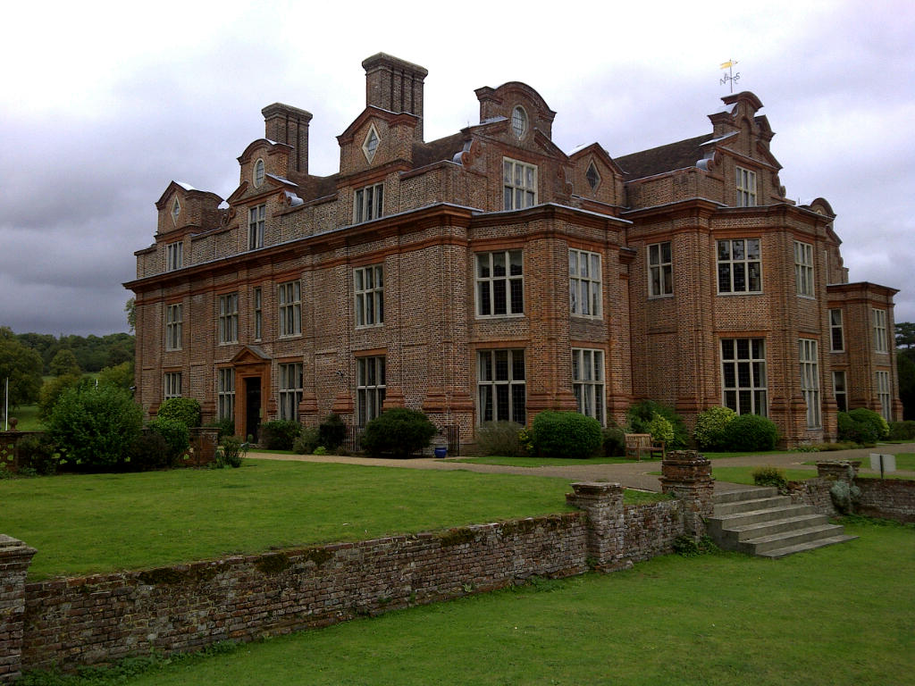
Broome Park
Broome Park is a country house in Barham, within the City of Canterbury, Kent, England. It was built for Basil Dixwell between 1635 and 1638. In the early...
Nearby Amenities
Located within 500m of 51.196015,1.1414986Have you been to Hoath Wood?
Leave your review of Hoath Wood below (or comments, questions and feedback).