Barham
Civil Parish in Kent Canterbury
England
Barham

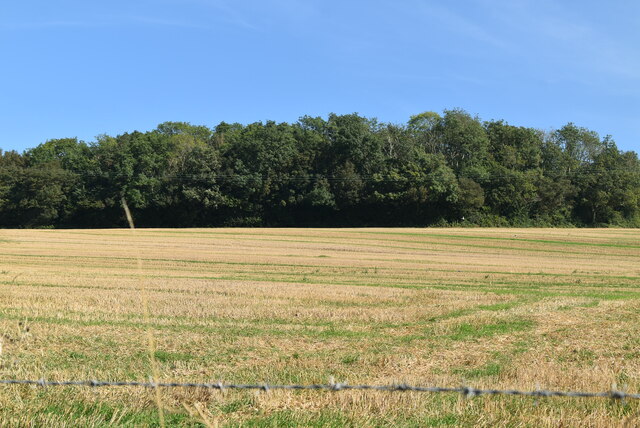
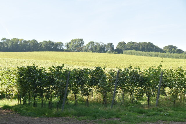
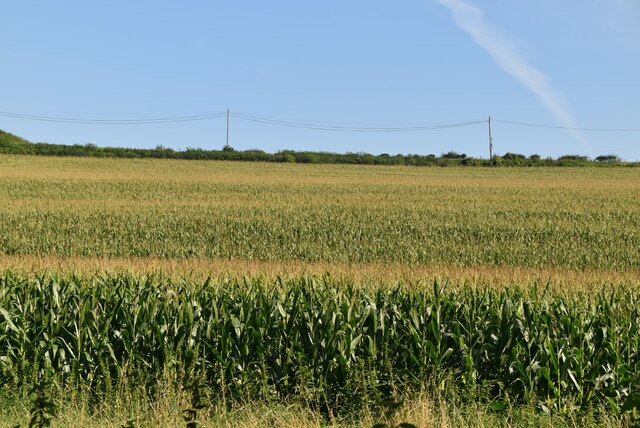
Barham is a civil parish located in the county of Kent, England. It is situated approximately 7 miles south-east of the city of Canterbury and covers an area of around 8 square miles. The village is surrounded by beautiful countryside and is nestled within the Kent Downs Area of Outstanding Natural Beauty.
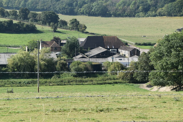
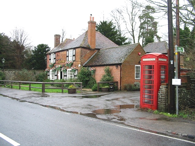
The parish of Barham consists of a small population, estimated to be around 1,000 residents. The village itself is characterized by its charming, traditional architecture, with many timber-framed houses and thatched cottages dating back centuries. The local community is tight-knit and friendly, with a strong sense of pride in their village.
Barham boasts a range of amenities to cater to the needs of its residents. These include a village hall, a primary school, a post office, and a pub. The village also has a number of local businesses, such as shops, cafes, and small-scale industries.
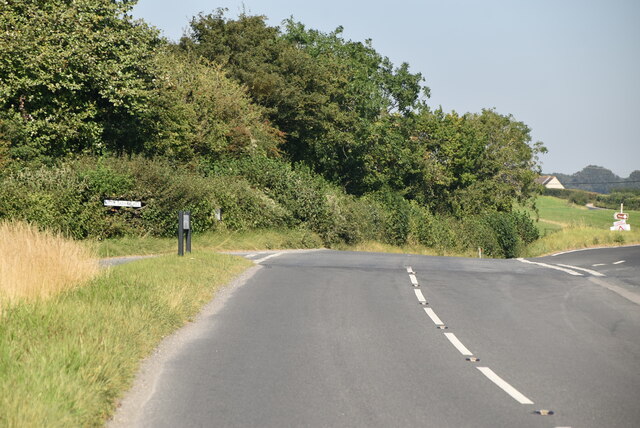
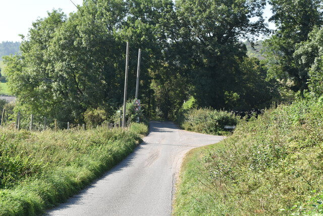
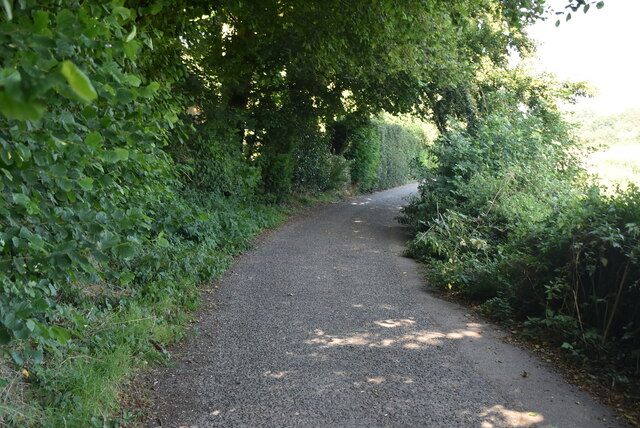
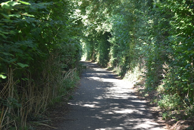
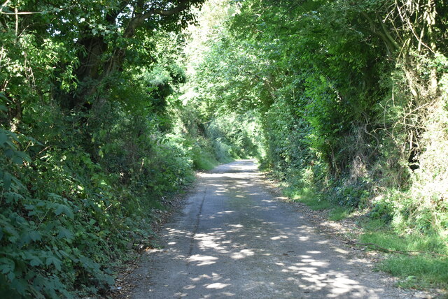
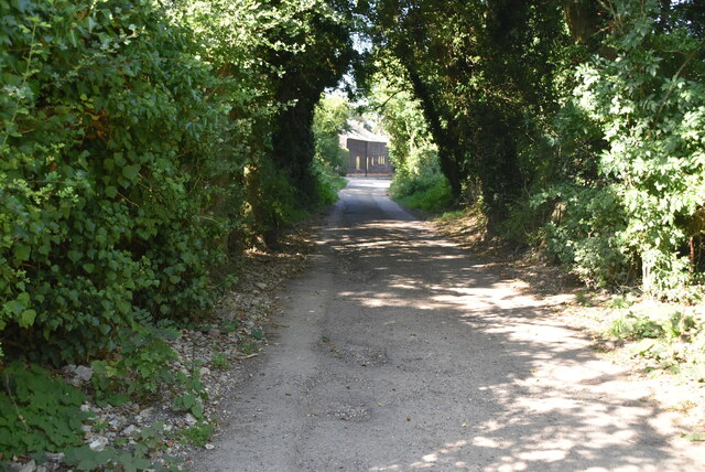
The surrounding countryside offers residents and visitors ample opportunities for outdoor activities, such as hiking, cycling, and horse riding. The area is crisscrossed by numerous footpaths and bridleways, allowing people to explore the stunning natural landscapes that Kent is renowned for.
Overall, Barham is a picturesque and peaceful village in the heart of the Kent countryside. It offers residents a close-knit community, beautiful surroundings, and a range of amenities to enjoy.
If you have any feedback on the listing, please let us know in the comments section below.
Barham Images
Images are sourced within 2km of 51.197609/1.14612 or Grid Reference TR1948. Thanks to Geograph Open Source API. All images are credited.


Barham is located at Grid Ref: TR1948 (Lat: 51.197609, Lng: 1.14612)
Administrative County: Kent
District: Canterbury
Police Authority: Kent
What 3 Words
///solutions.badly.dumplings. Near Barham, Kent
Nearby Locations
Related Wikis

Heart's Delight, City of Canterbury
Heart's Delight is a settlement located near Barham in Kent, England. There is a similarly-known settlement near Sittingbourne in the Swale district of...

Jumping Downs
Jumping Downs is a 5.7-hectare (14-acre) Local Nature Reserve near Aylesham, between Canterbury and Dover in Kent. It is owned by the Jumping Downs Trust...

Barham railway station
Barham was a station on the Elham Valley Railway. It opened in 1887 and closed to passengers in 1940 and freight in 1947. == History == The station opened...

Barham, Kent
Barham is a village and civil parish in the City of Canterbury district of Kent, England. Barham village is approximately 6 miles (10 km) south-east from...
Breach, Kent
Breach is a small settlement in the Elham Valley about one mile (1.6 km) south of Barham(where, at the 2011 Census, the population was included) in Kent...
Marley, Canterbury
Marley is a scattered hamlet in the civil parish of Kingston, in the county of Kent, England. The hamlet is on a minor road about 1 mile (1.6 km) southwest...
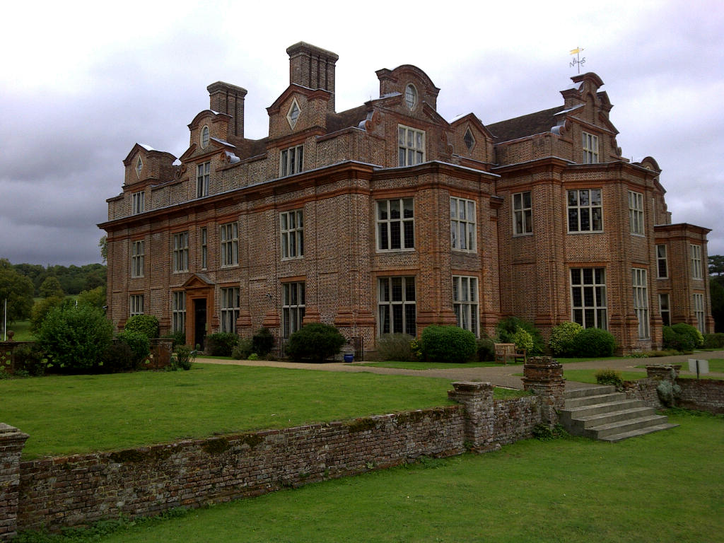
Broome Park
Broome Park is a country house in Barham, within the City of Canterbury, Kent, England. It was built for Basil Dixwell between 1635 and 1638. In the early...
Denton, Kent
Denton is a village and former civil parish, now in the parish of Denton with Wootton, in the Dover district of Kent, England. In 1961 the parish had a...
Nearby Amenities
Located within 500m of 51.197609,1.14612Have you been to Barham?
Leave your review of Barham below (or comments, questions and feedback).