Barforth
Civil Parish in Yorkshire
England
Barforth
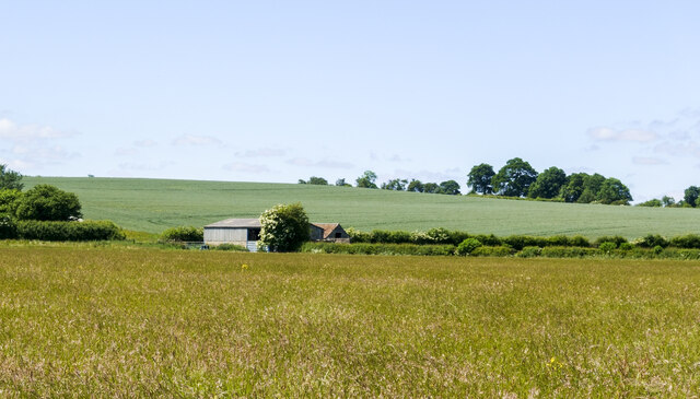
Barforth is a small civil parish located in the county of Yorkshire, England. It is situated in the district of Richmondshire, within the northern part of the country. The village of Barforth is nestled in a rural setting, surrounded by picturesque countryside and rolling hills.
The history of Barforth can be traced back to medieval times, and its name derives from Old Norse origins, suggesting a Viking influence on the area. The village is characterized by its quaint and traditional architecture, with an array of well-preserved stone houses and farm buildings.
The parish is home to a small but close-knit community, with a population of around 200 residents. The village has a strong sense of community spirit, with various social events and activities organized throughout the year, such as village fetes and fundraisers.
Despite its small size, Barforth offers a range of amenities to its residents. These include a village hall, a local pub, and a primary school. Nearby larger towns and cities provide additional services and facilities, such as supermarkets and healthcare centers.
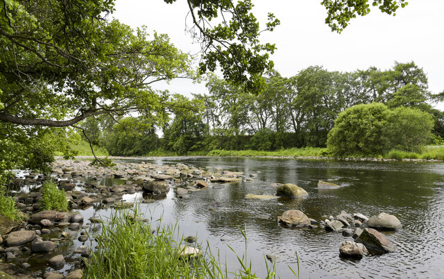
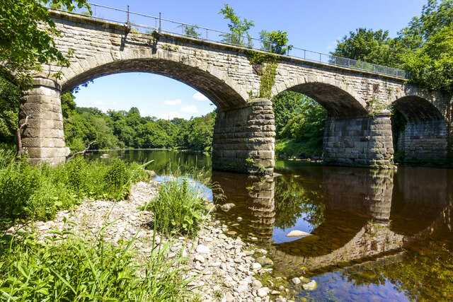
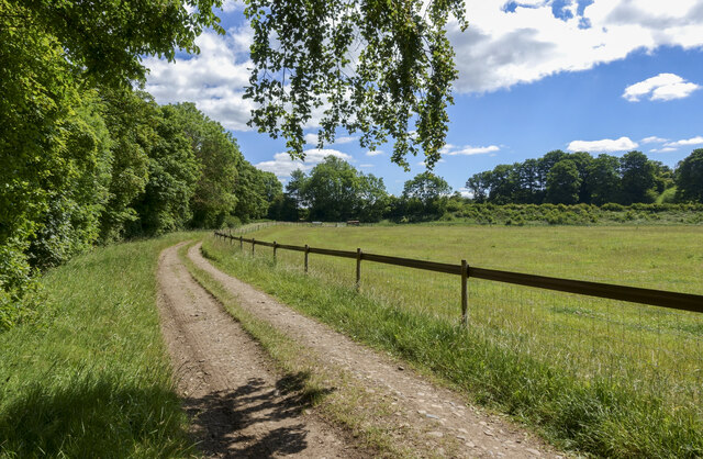
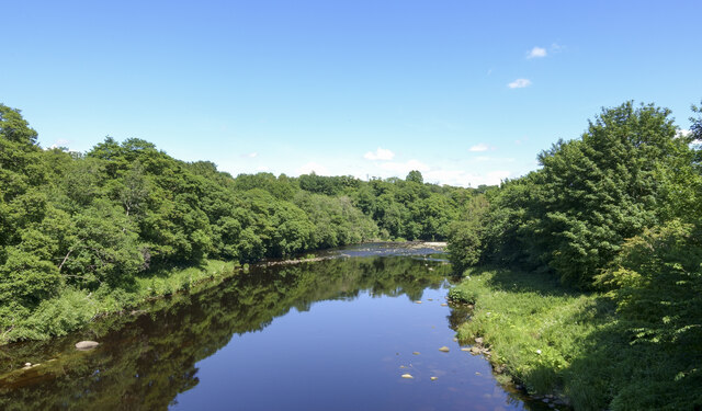
The surrounding countryside provides ample opportunities for outdoor activities, with numerous walking and cycling routes in the area. Barforth is also conveniently located close to the River Tees, offering residents and visitors the chance to enjoy fishing and boating activities.
In conclusion, Barforth is a charming and tranquil civil parish in Yorkshire, known for its rural beauty, strong community spirit, and access to outdoor pursuits.
If you have any feedback on the listing, please let us know in the comments section below.
Barforth Images
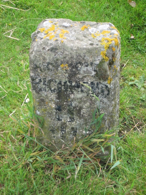
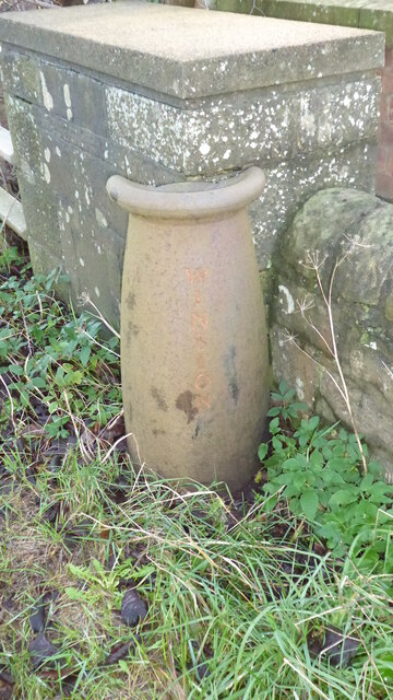
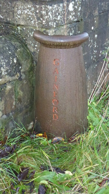
Images are sourced within 2km of 54.538806/-1.754621 or Grid Reference NZ1515. Thanks to Geograph Open Source API. All images are credited.
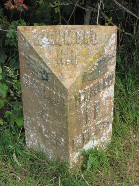
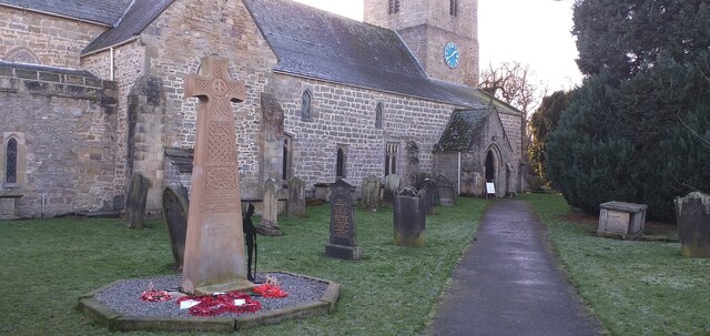
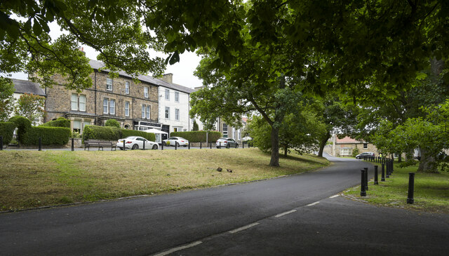


Barforth is located at Grid Ref: NZ1515 (Lat: 54.538806, Lng: -1.754621)
Division: North Riding
Unitary Authority: County Durham
Police Authority: Durham
What 3 Words
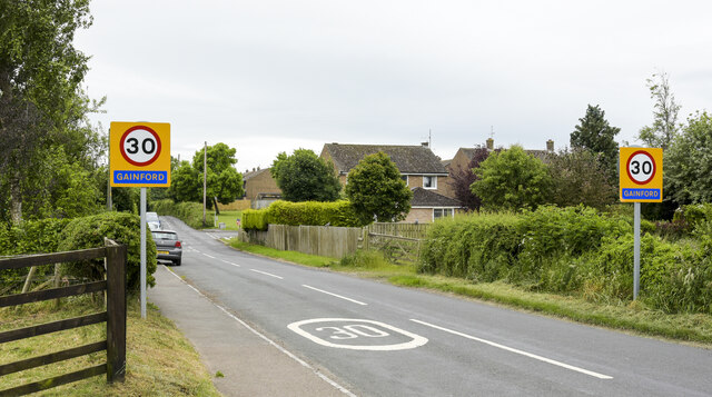
///shuttled.snipped.searcher. Near Gainford, Co. Durham
Nearby Locations
Related Wikis

Barforth
Barforth is a civil parish in the Teesdale district of County Durham, England, near Gainford. According to the 2001 census the parish had a population...
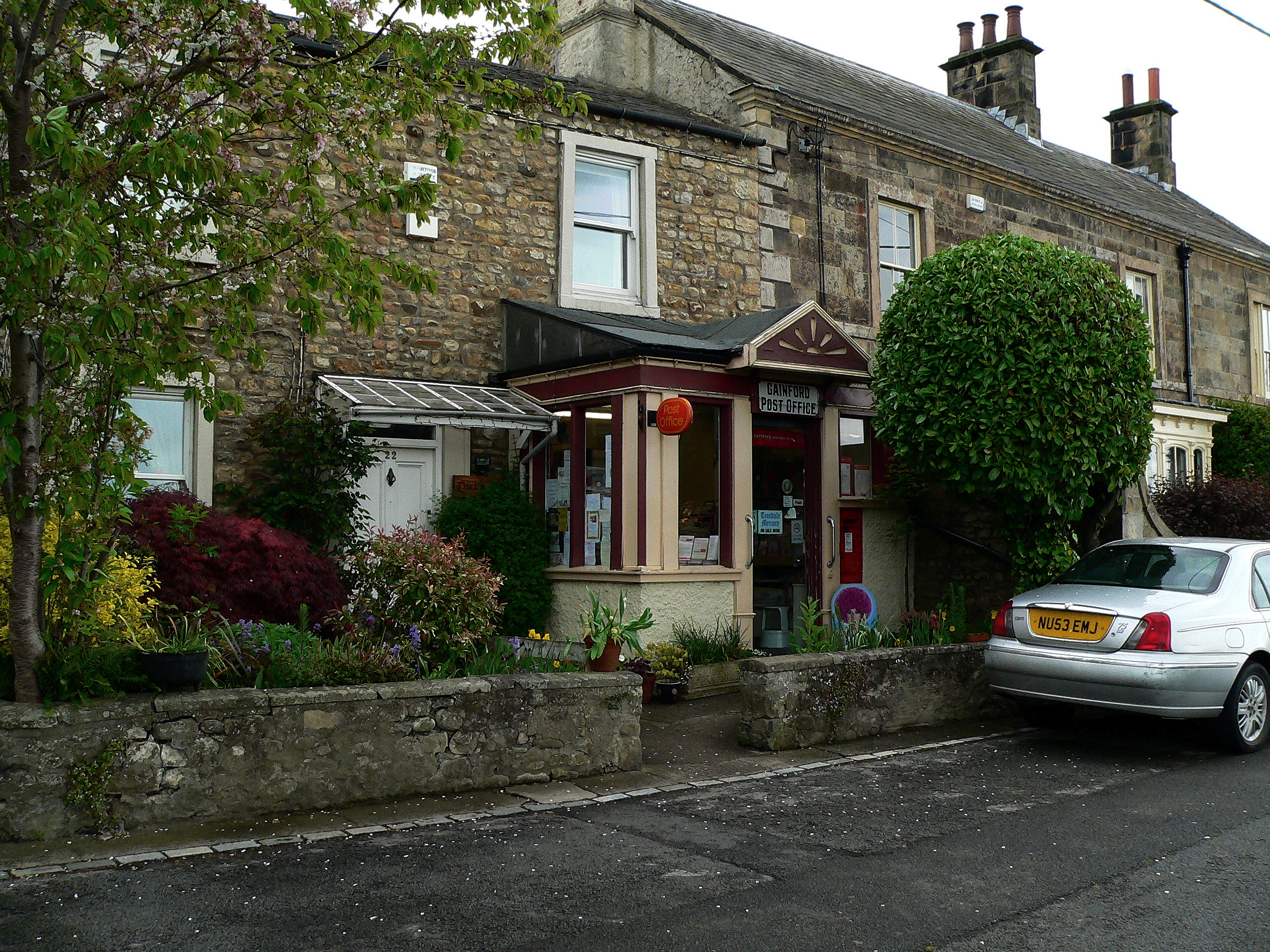
Gainford, County Durham
Gainford or Gainford on Tees is a village on the north bank of the River Tees in County Durham, England. It is half-way between Barnard Castle and Darlington...

Gainford Hall
Gainford Hall is a privately owned Jacobean manor house at Gainford, County Durham. It is a Grade I listed building but as of 2014 is registered as a Building...
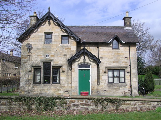
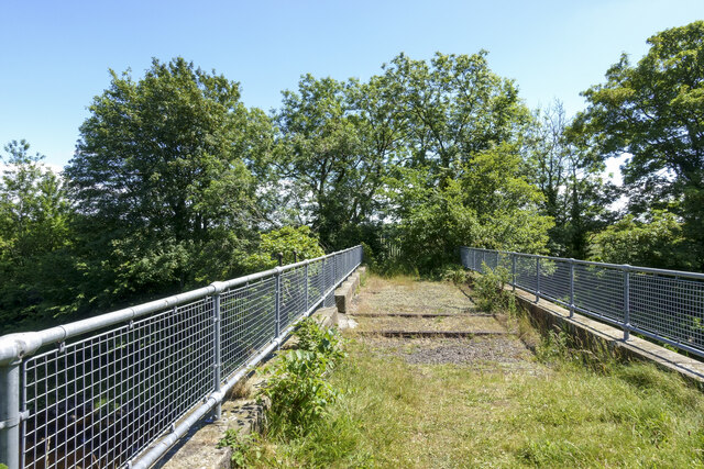
Gainford railway station
Gainford railway station is a disused station in Gainford, County Durham, North East England, on the Darlington and Barnard Castle Railway. On 24 October...
Have you been to Barforth?
Leave your review of Barforth below (or comments, questions and feedback).