Harkstead
Civil Parish in Suffolk Babergh
England
Harkstead

Harkstead is a civil parish located in the county of Suffolk, England. Situated on the Shotley Peninsula, it is bordered by the River Orwell to the west and the River Stour to the east. The parish covers an area of approximately 6 square kilometers and is home to a population of around 400 residents.
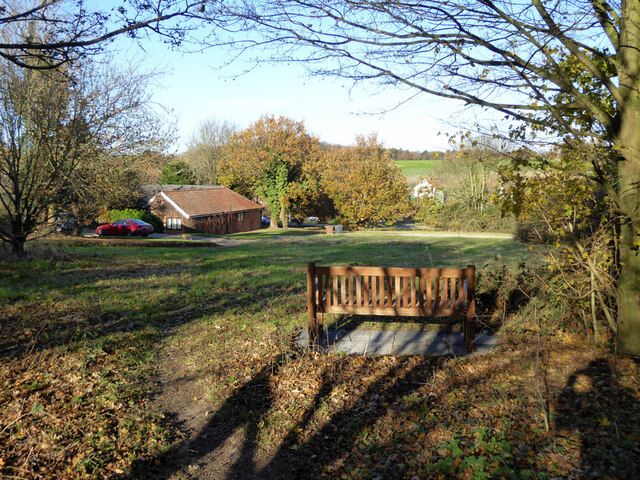
The village of Harkstead itself is small and picturesque, with a charming mix of traditional cottages and modern houses. The village center features a beautiful medieval church, St Mary's, which dates back to the 14th century. It is known for its impressive tower and stunning stained glass windows.
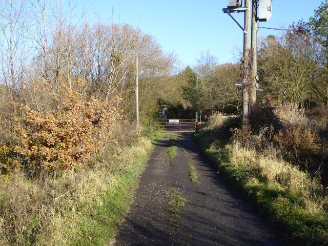
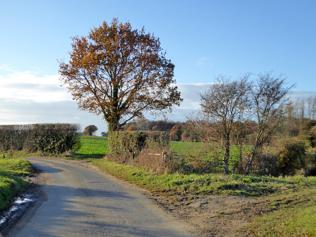
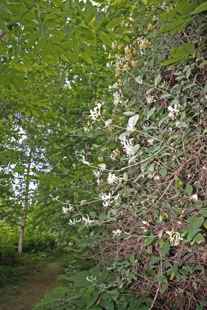
Surrounded by rolling countryside, Harkstead offers a peaceful and rural setting, making it an attractive place for nature lovers and those seeking a tranquil retreat. The area is well-known for its scenic walks, with the nearby Shotley Peninsula providing stunning views of the surrounding estuaries and countryside.
Despite its small size, Harkstead has a strong sense of community, with several local clubs and organizations that bring residents together. The village also has a primary school, providing education for the local children.
In terms of amenities, Harkstead has a village hall that hosts various events and activities throughout the year. There are no shops or pubs in the village, but nearby towns and villages provide easy access to essential services and amenities.
Overall, Harkstead offers a charming and idyllic rural lifestyle, with its scenic surroundings, community spirit, and historical charm.
If you have any feedback on the listing, please let us know in the comments section below.
Harkstead Images
Images are sourced within 2km of 51.967397/1.195784 or Grid Reference TM1934. Thanks to Geograph Open Source API. All images are credited.


Harkstead is located at Grid Ref: TM1934 (Lat: 51.967397, Lng: 1.195784)
Administrative County: Suffolk
District: Babergh
Police Authority: Suffolk
What 3 Words
///brings.slam.unstated. Near Holbrook, Suffolk
Nearby Locations
Related Wikis

Harkstead
Harkstead is a village and civil parish in the county of Suffolk, England. The village is located on the northern bank of the River Stour estuary at Holbrook...
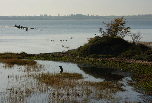
Stour Estuary
Stour Estuary is a 2,523 hectare biological and geological Site of Special Scientific Interest which stretches from Manningtree to Harwich in Essex and...

Erwarton
Erwarton or Arwarton is a small village and civil parish in the Babergh district of Suffolk, England. The parish includes the hamlet of Shop Corner. Located...

River Stour, Suffolk
The River Stour (, pronounced rhyming with either "tour" or "sour") is a major river in East Anglia, England. It is 47 miles (76 km) long and forms most...

Chelmondiston
Chelmondiston is a small village and civil parish in Suffolk, England located on the Shotley Peninsula, five miles south-east of Ipswich. The hamlet of...

Holbrook, Suffolk
Holbrook is a village situated close to the northern shore of the estuary of the River Stour, in Suffolk, England. It is located on the Shotley Peninsula...
Copperas Wood
Copperas Wood is a 13.8-hectare (34-acre) nature reserve between Ramsey and Wrabness in Essex. It is owned and managed by the Essex Wildlife Trust, and...

Royal Hospital School
The Royal Hospital School (usually shortened as "RHS" and historically nicknamed "The Cradle of the Navy") is a British co-educational fee-charging boarding...
Nearby Amenities
Located within 500m of 51.967397,1.195784Have you been to Harkstead?
Leave your review of Harkstead below (or comments, questions and feedback).