Harlaston
Civil Parish in Staffordshire Lichfield
England
Harlaston

Harlaston is a civil parish located in the county of Staffordshire, England. Situated approximately 5 miles southwest of the town of Tamworth, it covers an area of around 6 square miles. The parish is surrounded by picturesque countryside, offering a serene and tranquil environment for residents and visitors alike.
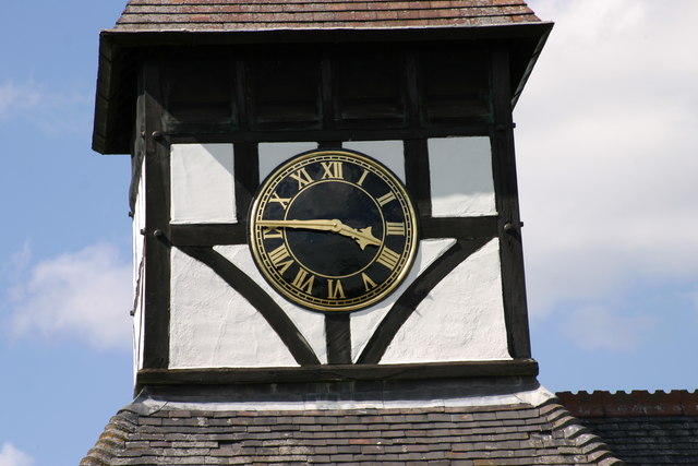
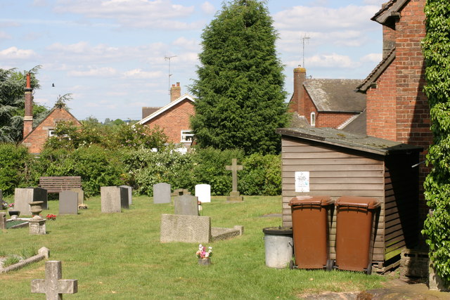
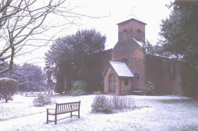
With a population of around 500 people, Harlaston is a small and close-knit community. The village itself is characterized by a mix of historic and modern buildings, showcasing the area's rich heritage. The centerpiece of the village is the St. Matthew's Church, a beautiful medieval church that dates back to the 12th century. Its stunning architecture and peaceful atmosphere make it a popular destination for those interested in history and spirituality.
Harlaston offers a range of amenities to cater to the needs of its residents. These include a primary school, a village hall, and a pub, which serve as central meeting points for the community. The village is also well-connected, with regular bus services to nearby towns and cities.
Surrounded by rolling hills and picturesque landscapes, Harlaston is an ideal location for outdoor enthusiasts. The area is dotted with footpaths and bridleways, making it perfect for walking, hiking, and horse riding. The nearby Foremark Reservoir provides opportunities for water-based activities such as fishing and sailing.
Overall, Harlaston is a charming and peaceful village that offers a high quality of life for its residents. Its rich history, natural beauty, and strong sense of community make it a truly special place to live or visit in Staffordshire.
If you have any feedback on the listing, please let us know in the comments section below.
Harlaston Images
Images are sourced within 2km of 52.687203/-1.68555 or Grid Reference SK2109. Thanks to Geograph Open Source API. All images are credited.


Harlaston is located at Grid Ref: SK2109 (Lat: 52.687203, Lng: -1.68555)
Administrative County: Staffordshire
District: Lichfield
Police Authority: Staffordshire
What 3 Words
///settled.width.exonerate. Near Whittington, Staffordshire
Nearby Locations
Related Wikis

Harlaston
Harlaston is a village and civil parish in Staffordshire, England. It lies on the River Mease, about 5 miles (8 km) north of Tamworth. There is an Early...

Elford railway station
Elford railway station was a railway station serving the village of Elford and the manor of Haselour Hall in Staffordshire. == History == It was opened...

Edingale
Edingale is a village and civil parish in Lichfield District, Staffordshire, England. It lies on the River Mease, around 7 miles (11 km) north of Tamworth...

Elford
Elford is a village and civil parish in Lichfield District, Staffordshire, England. It is on the east bank of the River Tame, about 5 miles (8 km) east...

Haunton
Haunton is a village in Staffordshire, England. It lies on the River Mease, about 7 miles (11 km) north of Tamworth, 1½ miles east of Harlaston and 1 mile...

St Peter's Church, Elford
St Peter's Church, Elford is a parish church in the village of Elford, Staffordshire in the United Kingdom. The church is situated on the eastern edge...
Wigginton, Staffordshire
Wigginton is a village and former civil parish, now in the parish of Wigginton and Hopwas, in the Lichfield district, in the county of Staffordshire, England...
Comberford
Comberford is a small settlement in Staffordshire, England. It lies by the River Tame, about 4 kilometres (2 mi) north-east of Tamworth along the A513...
Nearby Amenities
Located within 500m of 52.687203,-1.68555Have you been to Harlaston?
Leave your review of Harlaston below (or comments, questions and feedback).