Albury Heath

Downs, Moorland in Surrey Guildford

England

Albury Heath

No. 35028 'Clan Line' with the Belmond British Pullman No. 35028 'Clan Line' approaches the Sandy Lane bridge near Shere with the Belmond British Pullman circular dining tour from Victoria via Guildford.
No. 35028 'Clan Line' with the Belmond British Pullman Credit: Bob Walters

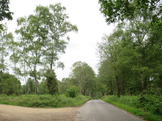
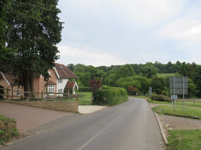
Albury Heath is a picturesque area located in Surrey, England, encompassing both downs and moorland landscapes. Situated near the village of Albury, it offers a tranquil and scenic environment for visitors and nature enthusiasts alike.

The heath is characterized by its rolling hills and open grasslands, providing a diverse habitat for various plant and animal species. The area is home to an array of wildlife, including rabbits, foxes, and numerous bird species such as skylarks and meadow pipits. Visitors may also spot reptiles like adders and common lizards basking in the sunshine.

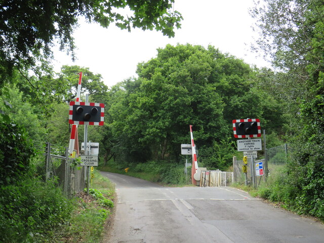
Covering a significant area, Albury Heath offers ample opportunities for outdoor activities. Walking and cycling trails meander through the heath, allowing visitors to explore the stunning vistas and immerse themselves in the natural beauty of the surroundings. The well-maintained paths are suitable for all ages and fitness levels, making it an ideal destination for families and avid hikers alike.

In addition to its natural charm, Albury Heath also holds historical significance. The area has evidence of Iron Age settlements and is believed to have been inhabited for centuries. It is not uncommon to stumble upon remnants of ancient structures or archaeological sites while exploring the heath.

Overall, Albury Heath in Surrey is a captivating destination that combines natural beauty, recreational opportunities, and a rich history. Whether it be for a leisurely stroll, wildlife spotting, or a deeper appreciation of the area's heritage, Albury Heath offers something for everyone to enjoy.

If you have any feedback on the listing, please let us know in the comments section below.
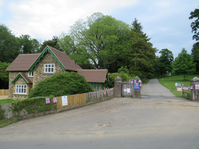
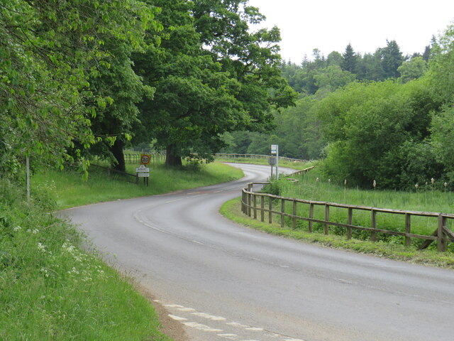
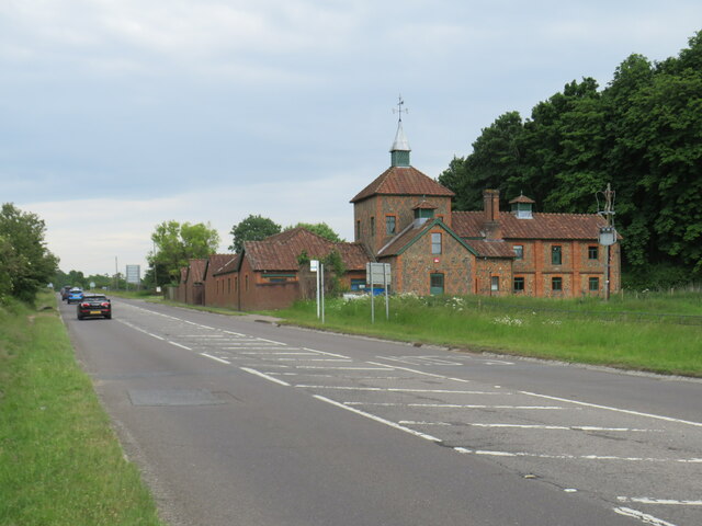
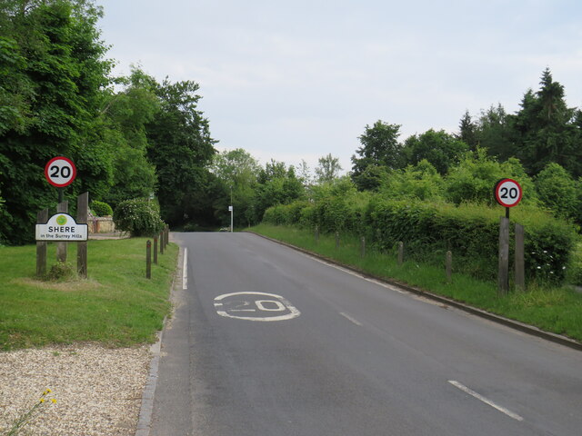
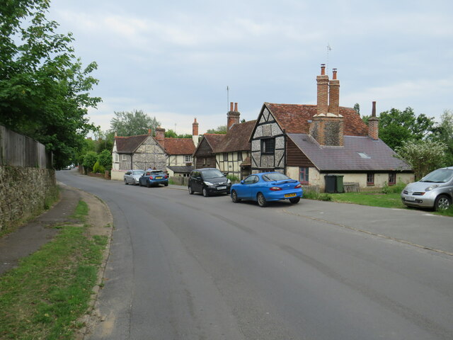
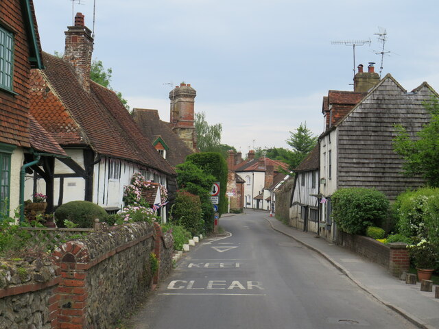
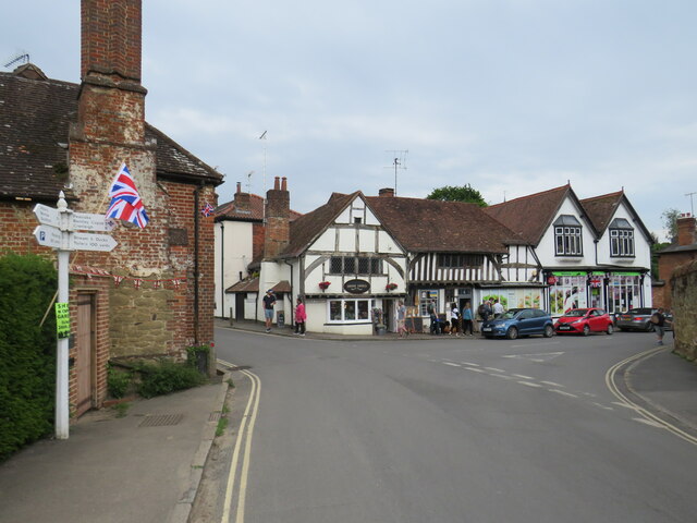
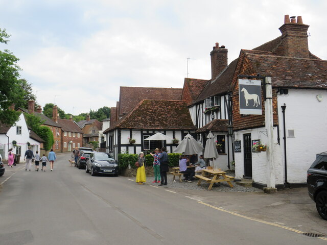
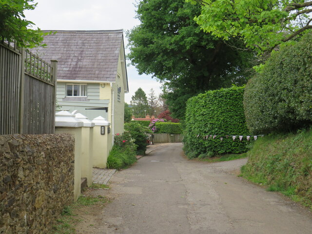
Albury Heath Images

Images are sourced within 2km of 51.210956/-0.48451507 or Grid Reference TQ0546. Thanks to Geograph Open Source API. All images are credited.

No. 35028 'Clan Line' with the Belmond British Pullman No. 35028 'Clan Line' approaches the Sandy Lane bridge near Shere with the Belmond British Pullman circular dining tour from Victoria via Guildford.
No. 35028 'Clan Line' with the Belmond British Pullman
No. 35028 'Clan Line' approaches the Sandy Lane bridge near Shere with the Belmond British Pullman circular dining tour from Victoria via Guildford.
Farley Heath Road, near Farley Green Farley Heath Road is a minor road passing through Surrey countryside.  It is on route 22 of the National Cycle Network
Farley Heath Road, near Farley Green
Farley Heath Road is a minor road passing through Surrey countryside. It is on route 22 of the National Cycle Network
August Lane, Farley Green August Lane entering the small hamlet of Farley Green in Surrey.  This road is on route 22 of the National Cycle Network.
August Lane, Farley Green
August Lane entering the small hamlet of Farley Green in Surrey. This road is on route 22 of the National Cycle Network.
Road junction at Farley Green A road junction in the Surrey hamlet of Farley Green.  The road to the right is on route 22 of the National Cycle Network.
Road junction at Farley Green
A road junction in the Surrey hamlet of Farley Green. The road to the right is on route 22 of the National Cycle Network.
Caravan park entrance, Farley Green, near Guildford The entrance to Edgeley caravan park in the Surrey countryside.
Caravan park entrance, Farley Green, near Guildford
The entrance to Edgeley caravan park in the Surrey countryside.
New Road, Brook, near Guildford New Road passing through the hamlet of Brook, near Guildford.
New Road, Brook, near Guildford
New Road passing through the hamlet of Brook, near Guildford.
Level crossing at Brook, near Guildford A level crossing on the North Downs Line at Brook, near Guildford.  Train services on this railway line connect Reading and Guildford with Dorking, Redhill and Gatwick Airport
Level crossing at Brook, near Guildford
A level crossing on the North Downs Line at Brook, near Guildford. Train services on this railway line connect Reading and Guildford with Dorking, Redhill and Gatwick Airport
New Road, near Albury New Road in Surrey countryside, close to the village of Albury.  The road sign warns of a railway level crossing ahead.
New Road, near Albury
New Road in Surrey countryside, close to the village of Albury. The road sign warns of a railway level crossing ahead.
Road junction near Albury A junction of minor roads in the Surrey Hills, near the village of Albury.
Road junction near Albury
A junction of minor roads in the Surrey Hills, near the village of Albury.
Albury Park entrance and lodge An entrance to Albury Park, in Surrey.  The building to the left of the entrance is a lodge.
Albury Park entrance and lodge
An entrance to Albury Park, in Surrey. The building to the left of the entrance is a lodge.
A248 road at Albury A double bend on the A248 road as it enters the village of Albury.
A248 road at Albury
A double bend on the A248 road as it enters the village of Albury.
A25 road near Albury A view eastwards along the A25 road between Albury and Shere in Surrey.  The building on the opposite side of the road is Home Farm.
A25 road near Albury
A view eastwards along the A25 road between Albury and Shere in Surrey. The building on the opposite side of the road is Home Farm.
Upper Street, Shere Upper Street entering the village of Shere in Surrey.  The speed limit drops to 20 miles per hour through the village.
Upper Street, Shere
Upper Street entering the village of Shere in Surrey. The speed limit drops to 20 miles per hour through the village.
Upper Street, Shere Upper Street in the Surrey village of Shere.
Upper Street, Shere
Upper Street in the Surrey village of Shere.
Upper Street, Shere Upper Street in the Surrey village of Shere.
Upper Street, Shere
Upper Street in the Surrey village of Shere.
Shere village centre A road junction in the centre of the village of Shere in Surrey.
Shere village centre
A road junction in the centre of the village of Shere in Surrey.
Middle Street, Shere Middle Street in the village of Shere in Surrey.  To the right of the image is a pub called The White Horse.
Middle Street, Shere
Middle Street in the village of Shere in Surrey. To the right of the image is a pub called The White Horse.
The Spinning Walk, Shere The Spinning Walk, in the village of Shere, is on route 22 of the National Cycle Network.
The Spinning Walk, Shere
The Spinning Walk, in the village of Shere, is on route 22 of the National Cycle Network.
Show me another place!

Albury Heath is located at Grid Ref: TQ0546 (Lat: 51.210956, Lng: -0.48451507)

Administrative County: Surrey

District: Guildford

Police Authority: Surrey

What 3 Words

///staple.basket.nights. Near Chilworth, Surrey

Related Wikis

Albury Park

Albury Park is a country park and Grade II* listed historic country house (Albury Park Mansion) in Surrey, England. It covers over 150 acres (0.61 km2...

Old St Peter and St Paul's Church, Albury

Old St Peter and St Paul's Church is a former Anglican church near the village of Albury, Surrey, England in the care of The Churches Conservation Trust...

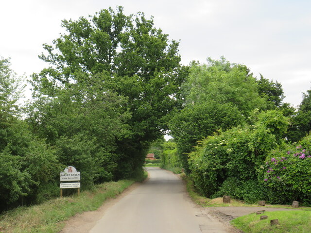
Farley Green, Surrey

Farley Green is a small hamlet of Albury in the Greensand Ridge where it forms the south of the Surrey Hills AONB, to the south east of Guildford. �...

Albury, Surrey

Albury is a village and civil parish in central Surrey, England, around 3.5 miles (5.6 km) east of Guildford. It is in the Surrey Hills Area of Outstanding...

Shere

Shere is a village in the Guildford district of Surrey, England 4.8 miles (7.7 km) east south-east of Guildford and 5.4 miles (8.7 km) west of Dorking...

Surrey Hills AONB

The Surrey Hills is a 422 km2 (163 sq mi) Area of Outstanding Natural Beauty (AONB) in Surrey, England, which principally covers parts of the North Downs...
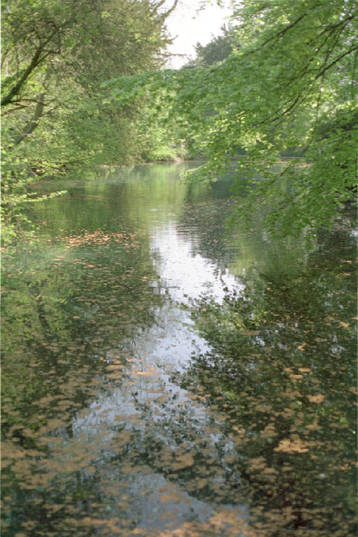
Silent Pool

Silent Pool is a spring-fed lake at the foot of the North Downs, about 4 miles (6 km) east of Guildford in Surrey. The outflow from Silent Pool runs into...

Blackheath Common

Blackheath Common is an area of 250 acres (100 ha) of heathland in Surrey, England, near the village of Albury in the borough of Waverley. It is part of...

Nearby Amenities

Located within 500m of 51.210956,-0.48451507
Albury Heath
Natural: heath
Source: npe
Lat/Long: 51.2093441/-0.486587
Post Box
Collection Times: Mo-Fr 16:30; Sa 09:30
Operator: Royal Mail
Post Box Type: lamp
Ref: GU5 111
Royal Cypher: EIIR
Royal Cypher Wikidata: Q33102113
Source: survey
Lat/Long: 51.212565/-0.4842877
ALBURY-1
Disused: yes
Man Made: petroleum_well
Ref GB Decc: LR/23-3
Source: DECC
Lat/Long: 51.2135/-0.4796111
Bus Stop
Bench: yes
Bin: no
Shelter: yes
Tactile Paving: no
Lat/Long: 51.2122555/-0.4786647
Bus Stop
Bench: no
Bin: no
Shelter: no
Tactile Paving: no
Lat/Long: 51.2124383/-0.4789909
Leisure: pitch
Sport: cricket
Lat/Long: 51.2117309/-0.4850828
Albury Heath
Naptan AtcoCode: 40004407362A
Naptan Bearing: S
Naptan BusStopType: CUS
Naptan CommonName: Albury Heath
Naptan Indicator: Just Before
Naptan Landmark: Albury Heath
Naptan NaptanCode: suratdtm
Naptan Street: New Road
Naptan Verified: no
Source: naptan_import
Lat/Long: 51.2135989/-0.4845932
Albury Heath
Naptan AtcoCode: 40004407362B
Naptan Bearing: N
Naptan BusStopType: CUS
Naptan CommonName: Albury Heath
Naptan Indicator: Just after
Naptan Landmark: Albury Heath
Naptan NaptanCode: suratdtp
Naptan Street: New Road
Naptan Verified: no
Source: naptan_import
Lat/Long: 51.2125787/-0.4842831
Talgai
Naptan AtcoCode: 40004407394A
Naptan Bearing: W
Naptan BusStopType: CUS
Naptan CommonName: Talgai
Naptan Indicator: Just after
Naptan Landmark: Talgai
Naptan NaptanCode: suratgwp
Naptan Street: Park Road
Naptan Verified: no
Source: naptan_import
Lat/Long: 51.212265/-0.478824
Talgai
Naptan AtcoCode: 40004407394B
Naptan Bearing: E
Naptan BusStopType: CUS
Naptan CommonName: Talgai
Naptan Indicator: Just Before
Naptan Landmark: Talgai
Naptan NaptanCode: suratjad
Naptan Street: Park Road
Naptan Verified: no
Source: naptan_import
Lat/Long: 51.2123255/-0.4786359
Historic: memorial
Lat/Long: 51.2115115/-0.4839559
Tourism: artwork
Lat/Long: 51.2106576/-0.4848954
Bench
Backrest: yes
Material: wood
Seats: 3
Lat/Long: 51.2114489/-0.4841387
Bench
Backrest: yes
Material: wood
Seats: 3
Lat/Long: 51.2115413/-0.4841602
Bench
Backrest: yes
Material: wood
Seats: 3
Lat/Long: 51.2118085/-0.4842594
Bench
Backrest: yes
Material: wood
Seats: 3
Lat/Long: 51.2119177/-0.484297
Bench
Backrest: yes
Material: wood
Seats: 3
Lat/Long: 51.2122773/-0.4845384
Waste Basket
Source: gps
Lat/Long: 51.2124722/-0.4851124
Bench
Lat/Long: 51.2111636/-0.4817682
Kiln Rough
Natural: wood
Lat/Long: 51.2101266/-0.4907992
Disused: yes
Man Made: kiln
Product: lime
Lat/Long: 51.2100978/-0.4899489
Communication Mobile Phone: yes
Man Made: mast
Tower Type: communication
Lat/Long: 51.2138881/-0.4822281
Man Made: mast
Lat/Long: 51.2140606/-0.4825539
Crossing Barrier: half
Railway: level_crossing
Lat/Long: 51.2075034/-0.4827471
Railway: level_crossing
Lat/Long: 51.2074701/-0.4827646
The data included in this document is from www.openstreetmap.org. The data is made available under ODbL.

Have you been to Albury Heath?

Leave your review of Albury Heath below (or comments, questions and feedback).