Albury

Civil Parish in Hertfordshire East Hertfordshire

England

Albury

Building new section of the A120 This will bypass Little Hadham. The original section of the A120 follows a Roman road.
Building new section of the A120 Credit: Bikeboy

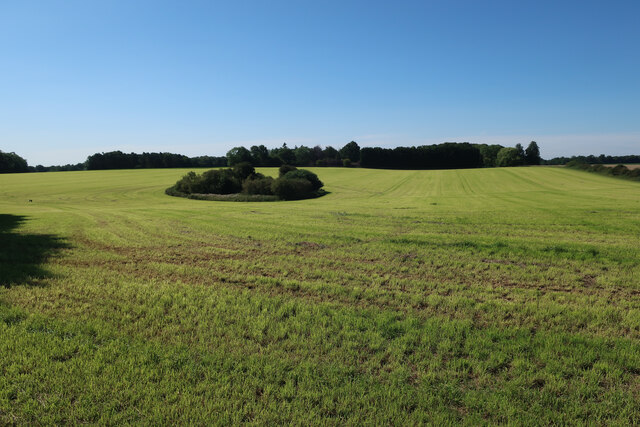
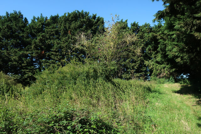
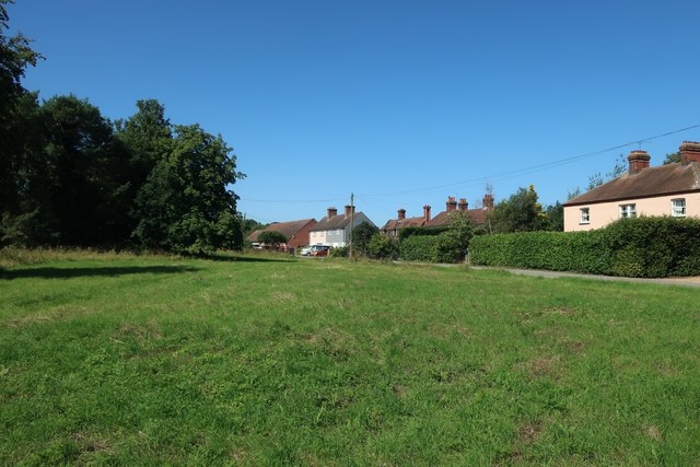
Albury is a civil parish located in the county of Hertfordshire, England. Situated approximately 30 miles northeast of London, it is part of the East Hertfordshire district. The parish covers an area of about 2.5 square miles and is surrounded by picturesque countryside, offering a tranquil and idyllic setting.

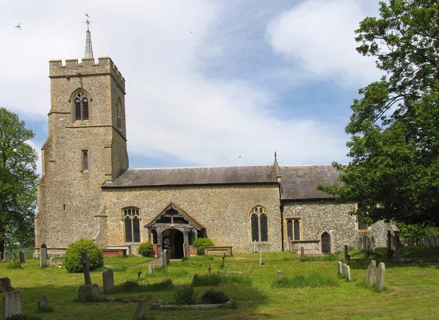
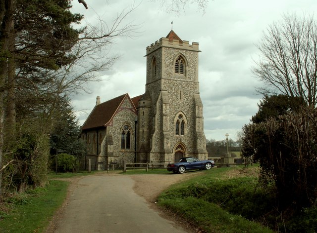
Albury is a small, rural village with a population of around 400 residents. It is known for its charming thatched cottages, historic buildings, and beautiful landscapes. The village is centered around the Church of St. Mary, a Grade I listed building dating back to the 12th century. The church is a prominent feature of the village and serves as a place of worship for the local community.

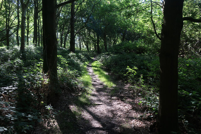
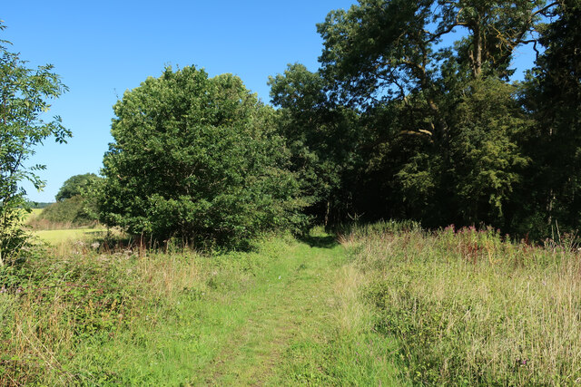
The village also has a few amenities to cater to its residents' needs, including a village hall and a primary school. Additionally, there are several public footpaths and bridleways that provide opportunities for outdoor activities and exploring the surrounding countryside.

Albury is well connected to neighboring towns and cities via road and rail links. The A10 and A120 roads are easily accessible, providing convenient routes to nearby towns such as Ware and Bishops Stortford. The village is also served by the nearby train stations of Ware and Bishops Stortford, offering regular services to London Liverpool Street and Cambridge.

Overall, Albury offers a charming and peaceful village lifestyle, with its rural setting, historic buildings, and easy access to nearby amenities and transport links.

If you have any feedback on the listing, please let us know in the comments section below.
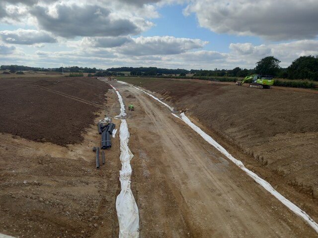
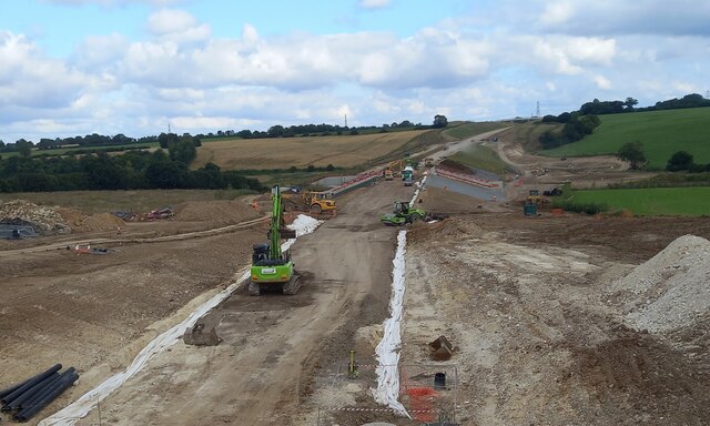
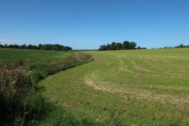
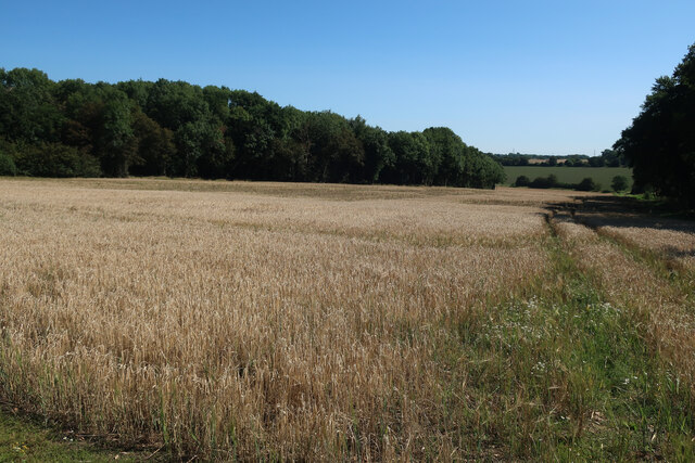
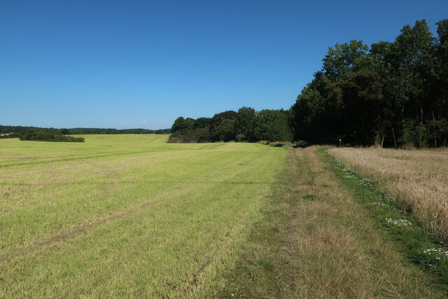
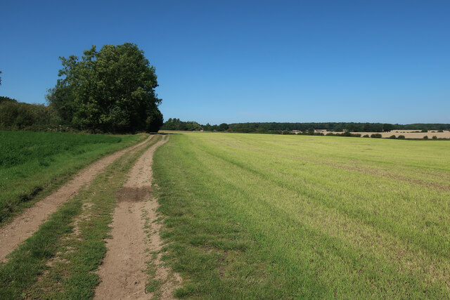
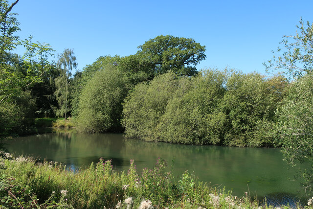
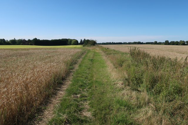
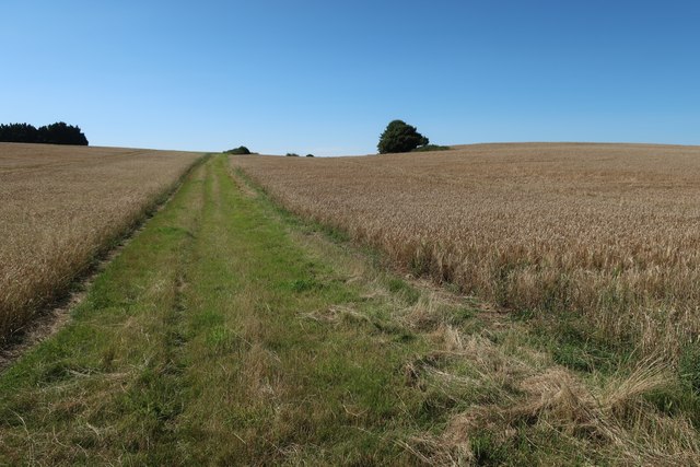
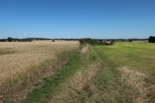
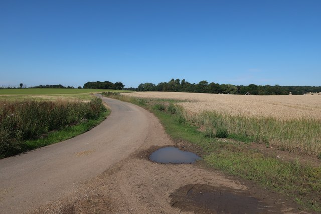
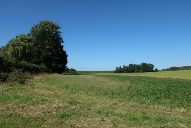
Albury Images

Images are sourced within 2km of 51.90298/0.092964 or Grid Reference TL4424. Thanks to Geograph Open Source API. All images are credited.

Building new section of the A120 This will bypass Little Hadham. The original section of the A120 follows a Roman road.
Building new section of the A120
This will bypass Little Hadham. The original section of the A120 follows a Roman road.
Building new section of the A120, looking east This will bypass Little Hadham. The original section of the A120 follows a Roman road.
Building new section of the A120, looking east
This will bypass Little Hadham. The original section of the A120 follows a Roman road.
Fields near Albury Hall
Field between the woods With Oaken Spring wood behind.
Field between the woods
With Oaken Spring wood behind.
Pond in a field
Pond in a field
Footpath through Oaken Spring
Footpath into Oaken Spring
Footpath to Oaken Spring
Hertfordshire Way to Kitchers
Kitchers Pond
Kitchers Pond
Trees in the field
Trees in the field
Hertfordshire Way
Hertfordshire Way
Hertfordshire Way
Hertfordshire Way
Hertfordshire Way
Hertfordshire Way
Access Road for Kitchers
Fields near Albury Hall
Albury Hall Cottages
Show me another place!

Albury is located at Grid Ref: TL4424 (Lat: 51.90298, Lng: 0.092964)

Administrative County: Hertfordshire

District: East Hertfordshire

Police Authority: Hertfordshire

What 3 Words

///fastening.cases.accusing. Near Much Hadham, Hertfordshire

Related Wikis

Patmore Heath

Patmore Heath is a 7.6 hectares (19 acres) biological Site of Special Scientific Interest in East Hertfordshire, England, 2 kilometres north-east of Albury...

Albury, Hertfordshire

Albury is a village and civil parish in the East Hertfordshire district of Hertfordshire, England, about five miles west of Bishop's Stortford. According...

Albury End

Albury End is a hamlet in Hertfordshire, England. It is in the civil parish of Albury. == External links == Media related to Albury End at Wikimedia Commons

Hillcollins Pit

Hillcollins Pit or Furneux Pelham Gravel Pit is a 0.2-hectare (0.49-acre) geological Site of Special Scientific Interest near Furneux Pelham in Hertfordshire...

Little Hadham

Little Hadham is a village and civil parish in the district of East Hertfordshire, Hertfordshire, England. At the census of 2001 it had a population of...

Barleycroft End

Barleycroft End is a hamlet in Hertfordshire, England. It is in the civil parish of Furneux Pelham. == External links == Media related to Barleycroft...

Furneux Pelham

Furneux Pelham or Furneaux Pelham is a village and civil parish in Hertfordshire, England. The village is one of the Pelhams, part of an early medieval...

Farnham, Essex

Farnham is a small village in Essex, England, situated near Bishop's Stortford. The main features are Farnham Church of England Primary School, the church...

Nearby Amenities

Located within 500m of 51.90298,0.092964
Bus Stop
Parsonage Lane
Naptan AtcoCode: 210021304130
Naptan Bearing: S
Naptan CommonName: Parsonage Lane
Naptan Crossing: Mill Lane
Naptan Indicator: opp
Naptan Landmark: Mill Lane
Naptan NaptanCode: hrtdtjma
Naptan ShortCommonName: NA
Naptan Street: Albury Road
Naptan Verified: no
Public Transport: platform
Source: naptan_import
Lat/Long: 51.9047744/0.0959828
Parsonage Lane
Naptan AtcoCode: 210021308760
Naptan Bearing: N
Naptan BusStopType: CUS
Naptan CommonName: Parsonage Lane
Naptan Crossing: opp Mill Lane
Naptan Indicator: adj
Naptan Landmark: opp Mill Lane
Naptan NaptanCode: hrtdpmwg
Naptan ShortCommonName: NA
Naptan Street: Albury Road
Naptan Verified: no
Public Transport: platform
Source: naptan_import
Lat/Long: 51.9047622/0.0958804
Ele: 79
Lat/Long: 51.9038916/0.0940103
Ele: 77
Lat/Long: 51.9035254/0.0919901
Ele: 95
Lat/Long: 51.9024346/0.0878773
Public Bookcase
Booth: K6
Disused Amenity: telephone
Phone: no
Public Bookcase Type: phone_box
Lat/Long: 51.9043985/0.0960325
Post Box
Clapgate
Collection Times: Mo-Fr 16:15; Sa 09:30
Ref: SG11 65
Lat/Long: 51.90442/0.0960285
Shelter
Lat/Long: 51.9044982/0.096259
Material: wood
Power: pole
Lat/Long: 51.9058704/0.0889687
Power: pole
Lat/Long: 51.9007265/0.0936306
Material: wood
Power: pole
Lat/Long: 51.9033235/0.0907979
Material: wood
Power: pole
Lat/Long: 51.904211/0.0861953
Material: wood
Power: pole
Lat/Long: 51.9014382/0.0928742
Power: pole
Lat/Long: 51.8992734/0.0951648
Power: pole
Lat/Long: 51.8999785/0.0944353
Material: wood
Power: pole
Lat/Long: 51.9020472/0.0921822
Material: wood
Power: pole
Lat/Long: 51.9026794/0.0914849
Material: wood
Power: pole
Lat/Long: 51.9052841/0.0891701
Material: wood
Power: pole
Lat/Long: 51.90475/0.0876946
Material: wood
Power: pole
Lat/Long: 51.9044236/0.089441
Material: wood
Power: pole
Lat/Long: 51.9038908/0.090074
Material: wood
Power: pole
Lat/Long: 51.9065338/0.0887434
Power: pole
Lat/Long: 51.9073659/0.0913507
Power: pole
Lat/Long: 51.9071008/0.0904673
Material: wood
Power: pole
Lat/Long: 51.906699/0.0893715
Material: wood
Power: pole
Lat/Long: 51.9054795/0.0962028
Material: wood
Power: pole
Lat/Long: 51.9063712/0.0967016
Material: wood
Power: pole
Lat/Long: 51.9056168/0.0977289
Material: wood
Power: pole
Lat/Long: 51.9048953/0.098724
Material: wood
Power: pole
Lat/Long: 51.9048719/0.0993168
Board Type: notice
Check Date: 2022-09-25
Information: board
Text: This oak tree was planted here by cow pasture path by the people of Aldbury to commemorate the coronation of King George VI 17th May 1935
Tourism: information
Lat/Long: 51.9025657/0.0874229
Bench
Lat/Long: 51.9035964/0.0936947
Bench
Lat/Long: 51.9035351/0.0936974
Addr Housename: River Cottage
Lat/Long: 51.9045112/0.0965086
Addr Housename: Ye Olde Thatched Cottage
Lat/Long: 51.9044963/0.0967902
Addr Housenumber: 10
Lat/Long: 51.9040743/0.0950146
Addr Housenumber: 9
Lat/Long: 51.9041306/0.095146
Handle: lever
Man Made: water_well
Pump: manual
Lat/Long: 51.9045707/0.0959802
Addr Housename: Brook House
Lat/Long: 51.9047428/0.0961062
Addr Housenumber: 7
Addr Street: The Bourne
Lat/Long: 51.9041901/0.0954571
Addr Housenumber: 8
Addr Street: The Bourne
Lat/Long: 51.9041803/0.0953552
Addr Housename: Church End Cottage
Lat/Long: 51.9023615/0.0857958
Addr Housename: Tickle Cottage
Addr Housenumber: 3
Lat/Long: 51.9044201/0.0947919
Addr Housenumber: 4
Lat/Long: 51.9043904/0.0947195
Addr Housenumber: 1
Lat/Long: 51.9044632/0.0949126
Addr Housenumber: 6
Lat/Long: 51.9043175/0.0945801
Addr Housenumber: 5
Lat/Long: 51.9043406/0.0946417
Addr Housename: Half Crown Cottage
Addr Housenumber: 2
Lat/Long: 51.9044432/0.0948429
Addr Housenumber: 14
Lat/Long: 51.9037192/0.0948228
Addr Housenumber: 20
Lat/Long: 51.9036349/0.0953016
Addr Housenumber: 18
Lat/Long: 51.9036762/0.0950132
Addr Housenumber: 19
Lat/Long: 51.9036299/0.0953726
Addr Housenumber: 15
Lat/Long: 51.9036729/0.0951098
Addr Housenumber: 16
Lat/Long: 51.9036596/0.0952131
Addr Housename: Beadlow Cottage
Addr Housenumber: 13
Lat/Long: 51.9037176/0.094576
Addr Housename: East View
Lat/Long: 51.9041895/0.0962859
Addr Housename: The Oaks
Lat/Long: 51.904403/0.0962457
Addr Housename: Greensleeves
Lat/Long: 51.9043948/0.0959775
Addr Housename: The Homestead
Lat/Long: 51.9044626/0.0959641
Addr Housename: Blockmoor Cottage
Lat/Long: 51.9045073/0.0959319
Addr Housenumber: 21
Lat/Long: 51.9036199/0.0955725
Addr Housenumber: 24
Lat/Long: 51.9035711/0.0959265
Addr Housenumber: 23
Lat/Long: 51.903586/0.0958125
Addr Housenumber: 22
Lat/Long: 51.9036059/0.0957052
Addr Housename: Clappergate Cottage
Lat/Long: 51.9045321/0.0959185
Addr Housename: Hill Cottage
Lat/Long: 51.904653/0.0958031
Addr Housenumber: 11
Addr Street: The Bourne
Lat/Long: 51.9040025/0.0948536
Addr Housenumber: 2
Addr Street: The Bourne
Lat/Long: 51.9039281/0.095897
Addr Housenumber: 1
Addr Street: The Bourne
Lat/Long: 51.9039347/0.0959802
Addr Housenumber: 6
Addr Street: The Bourne
Lat/Long: 51.9042128/0.0958219
Addr Housenumber: 5
Addr Street: The Bourne
Lat/Long: 51.9041135/0.0958514
Addr Housenumber: 12
Addr Street: The Bourne
Lat/Long: 51.9039578/0.0947356
Addr Housenumber: 4
Addr Street: The Bourne
Lat/Long: 51.9040373/0.0957415
Addr Housenumber: 3
Addr Street: The Bourne
Lat/Long: 51.9039662/0.0957736
Addr Housename: Clapgate Cottage
Lat/Long: 51.9046363/0.0955966
Addr Housename: South View Cottage
Lat/Long: 51.904648/0.0956878
Addr Housename: Greenlands
Lat/Long: 51.9047489/0.095197
Addr Housename: Hillick
Lat/Long: 51.9045603/0.095256
Addr Housename: Auldebyre
Lat/Long: 51.904648/0.0950012
Addr Housename: Oakwrights
Lat/Long: 51.9041829/0.0943226
Passing Place
Lat/Long: 51.903432/0.0915484
Clapgate
Place: village
Lat/Long: 51.9045689/0.0960821
The data included in this document is from www.openstreetmap.org. The data is made available under ODbL.

Have you been to Albury?

Leave your review of Albury below (or comments, questions and feedback).