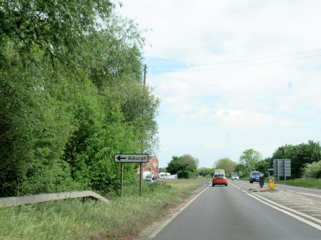
Alburgh
Civil Parish in Norfolk South Norfolk
England
Alburgh
Alburgh is a civil parish located in the county of Norfolk, England. Situated in the South Norfolk district, it lies approximately 10 miles southeast of the city of Norwich. The parish covers an area of around 11 square miles and is home to a population of about 400 residents.
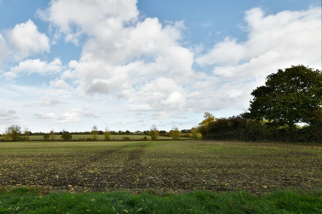
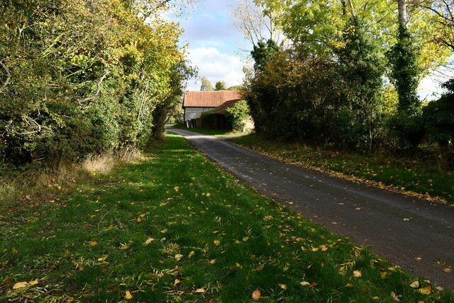
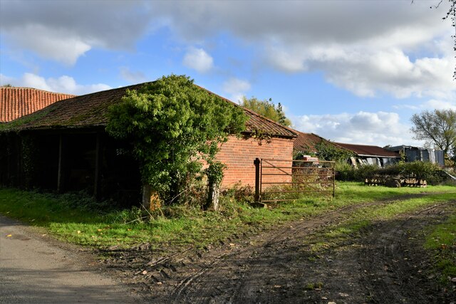
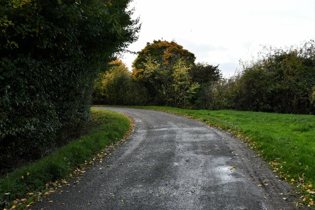
Alburgh is a rural village surrounded by picturesque countryside, characterized by rolling fields and charming woodlands. The village itself is small and quaint, with a mix of traditional and modern houses. It has a close-knit community that enjoys a peaceful and tranquil atmosphere.
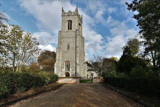
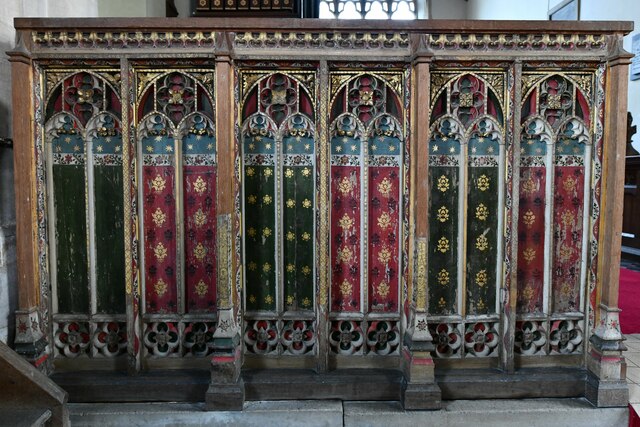
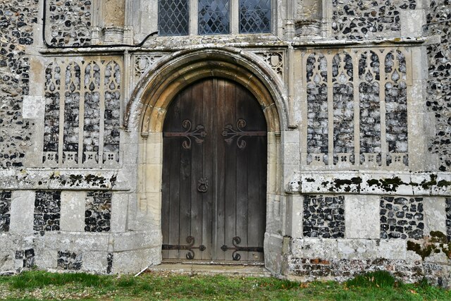
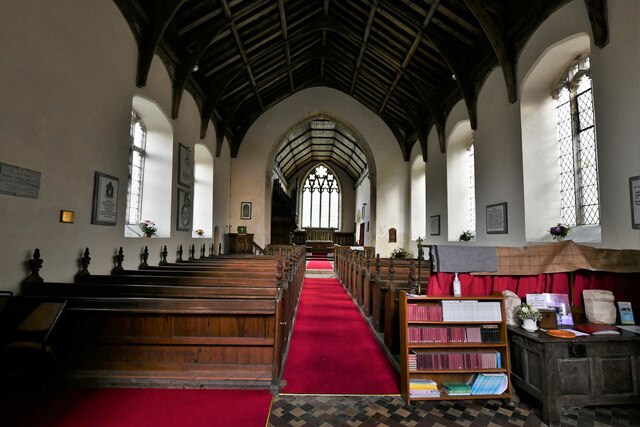
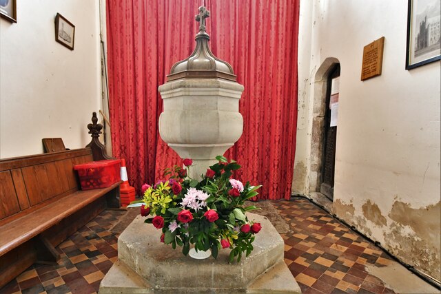
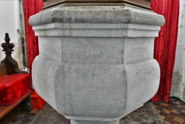
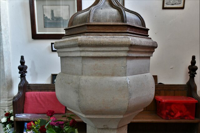
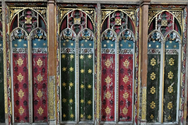
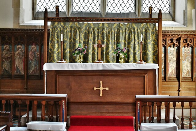
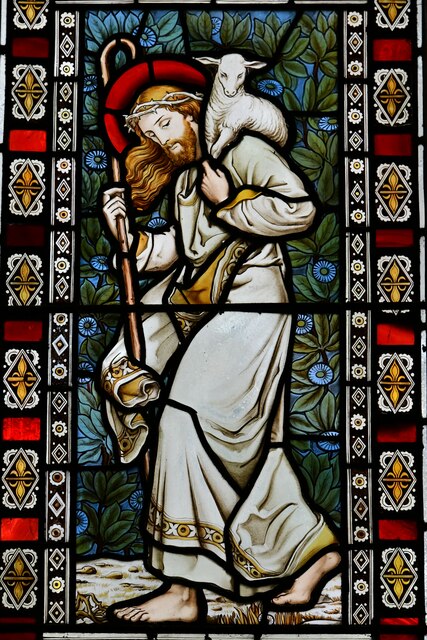
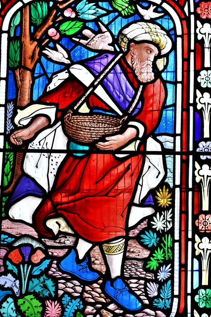
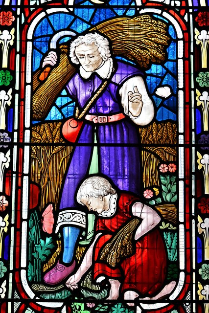
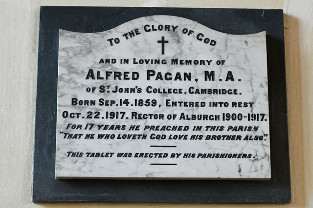
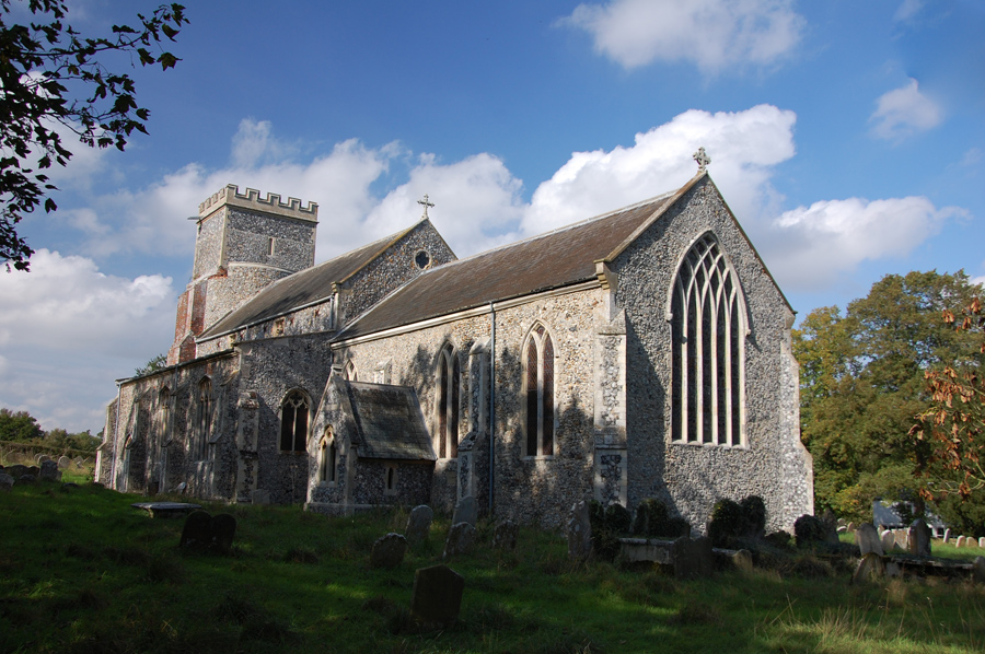
The heart of the village is centered around the Grade II listed St. Mary's Church, which dates back to the 14th century and is a prominent landmark. Other notable buildings include the Old School House, a former primary school that has been converted into residential accommodation.
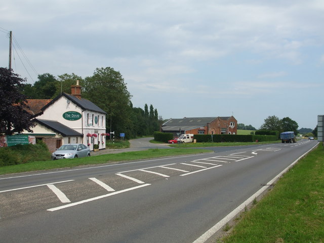
The village offers a range of amenities to its residents, including a village hall, a post office, and a small convenience store. There is also a popular local pub, The Kings Head, which serves as a social hub for the community.
Alburgh is well-connected to surrounding towns and cities by road, with the A143 running nearby, providing easy access to Norwich and other major destinations in the region. The village is also surrounded by scenic walking and cycling routes, making it an ideal location for outdoor enthusiasts.
In summary, Alburgh is a charming rural village in Norfolk, known for its beautiful countryside, close-knit community, and historic landmarks.
If you have any feedback on the listing, please let us know in the comments section below.
Alburgh Images
Images are sourced within 2km of 52.43246/1.332854 or Grid Reference TM2686. Thanks to Geograph Open Source API. All images are credited.
Alburgh is located at Grid Ref: TM2686 (Lat: 52.43246, Lng: 1.332854)
Administrative County: Norfolk
District: South Norfolk
Police Authority: Norfolk
What 3 Words
///prepares.lakes.emulating. Near Harleston, Norfolk
Nearby Locations
Related Wikis

Alburgh
Alburgh is a village and civil parish in the English county of Norfolk. It lies about four miles (6 km) north-east of Harleston and 16 miles (26 km) south...
Homersfield railway station
Homersfield was a railway station which served the village of Homersfield in Suffolk, England, although the station was located in Alburgh, across the...

Wortwell railway station
Wortwell was a station in the small hamlet of Wortwell, Norfolk. It was opened in 1855, as part of the Waveney Valley Line between Tivetshall and Beccles...
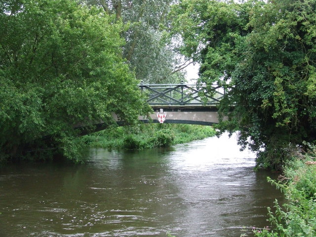
Homersfield Bridge
Homersfield Bridge is a road bridge across the River Waveney between Norfolk and Suffolk, and stands partly in the civil parishes of Alburgh and Wortwell...
Denton, Norfolk
Denton is a village and civil parish in the English county of Norfolk. Denton is located 3.8 miles north-east of Harleston and 13 miles south of Norwich...

Wortwell
Wortwell is a village and civil parish in the English county of Norfolk and adjoining the county of Suffolk. It is located on both the River Waveney (which...

Homersfield
Homersfield, also known as St Mary, South Elmham, is a village and civil parish in the north of the English county of Suffolk. It is in the East Suffolk...

Church of the Assumption of the Blessed Virgin Mary, Redenhall
The Church of the Assumption of the Blessed Virgin Mary, Redenhall (St. Mary's Church) is a Grade I listed parish church in the Church of England in Redenhall...
Nearby Amenities
Located within 500m of 52.43246,1.332854Have you been to Alburgh?
Leave your review of Alburgh below (or comments, questions and feedback).