Salmon Mead Spring

Wood, Forest in Hertfordshire East Hertfordshire

England

Salmon Mead Spring

Building new section of the A120 This will bypass Little Hadham. The original section of the A120 follows a Roman road.
Building new section of the A120 Credit: Bikeboy

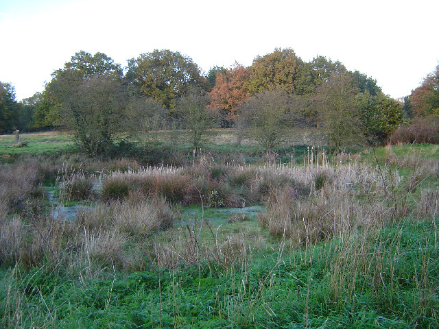
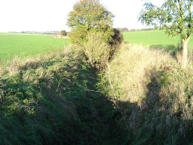
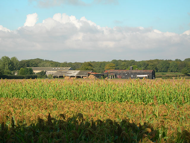
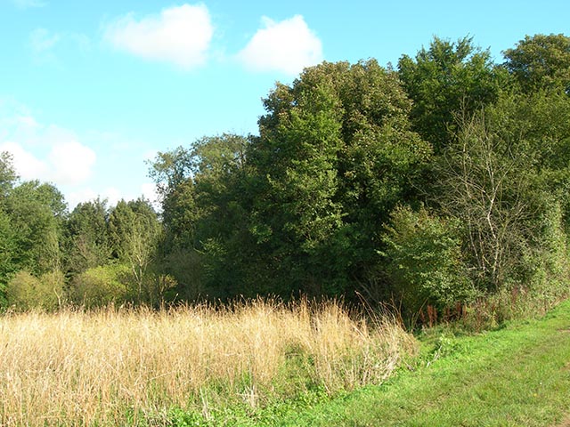
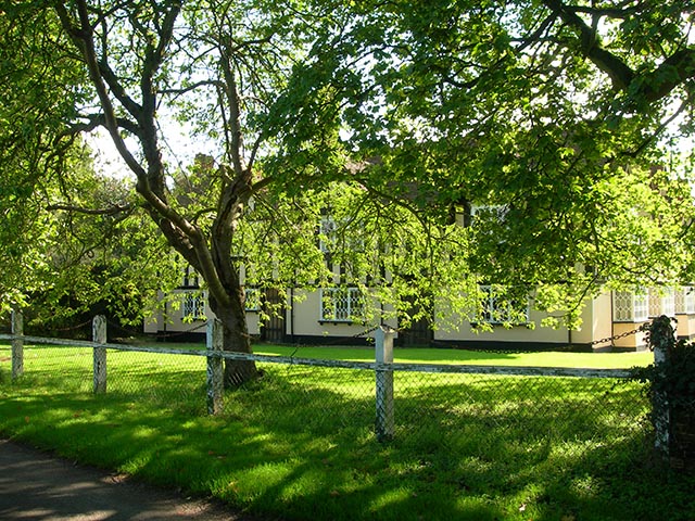
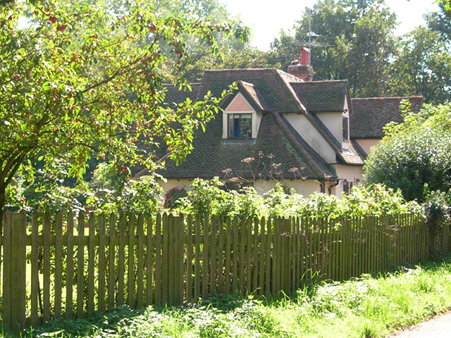
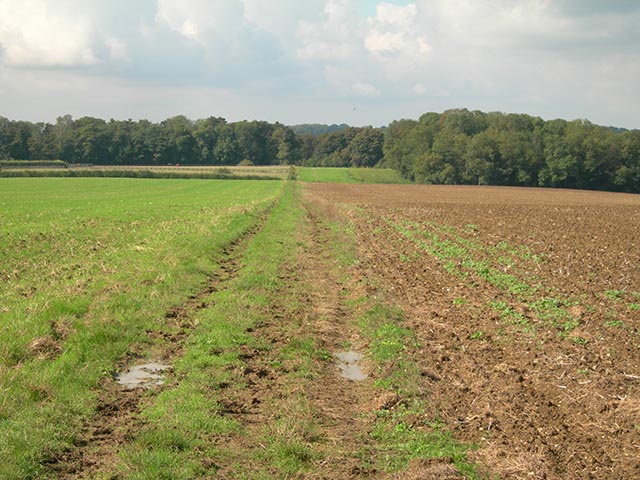
Salmon Mead Spring is a picturesque woodland located in Hertfordshire, England. Situated within a larger forest area, this charming wood is known for its tranquil atmosphere and natural beauty.

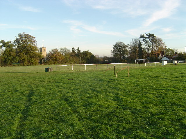
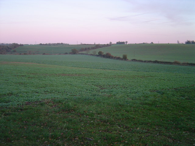
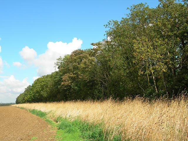
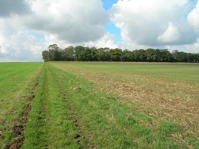
Covering an area of approximately 50 acres, Salmon Mead Spring boasts a diverse range of flora and fauna, making it a popular destination for nature enthusiasts and hikers alike. The wood is predominantly made up of oak and beech trees, which create a dense canopy overhead, providing shade and a sense of seclusion. The forest floor is carpeted with a variety of wildflowers, adding bursts of color to the scenery.

The highlight of Salmon Mead Spring is its eponymous spring, which bubbles up from the ground and meanders through the wood. This crystal-clear stream provides a refreshing source of water for the local wildlife and adds to the overall charm of the woodland. Visitors can enjoy the soothing sounds of the babbling brook and even catch glimpses of small aquatic creatures that call the stream home.

The wood is teeming with wildlife, including a diverse range of bird species, such as woodpeckers, owls, and various songbirds. It is also home to mammals like deer, foxes, and badgers, which can sometimes be spotted during dawn or dusk.

Salmon Mead Spring offers a network of well-maintained footpaths, allowing visitors to explore the wood at their own pace. Whether it's a leisurely stroll, a jog, or a more challenging hike, there are options to suit all levels of fitness and interests.

Overall, Salmon Mead Spring is a haven of tranquility and natural beauty, providing a perfect escape from the hustle and bustle of everyday life.

If you have any feedback on the listing, please let us know in the comments section below.

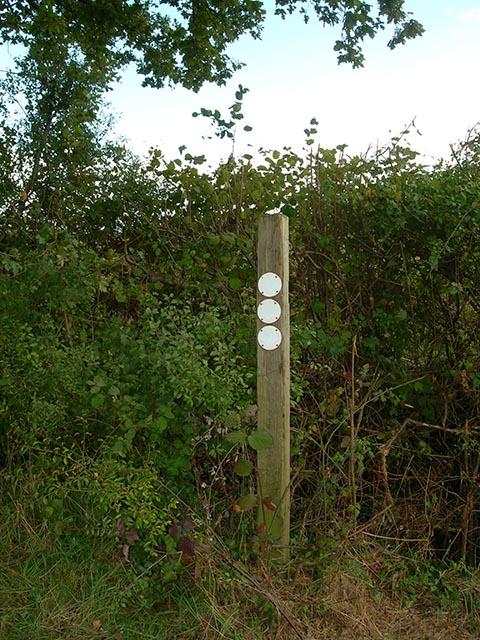
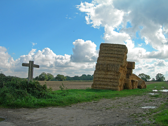
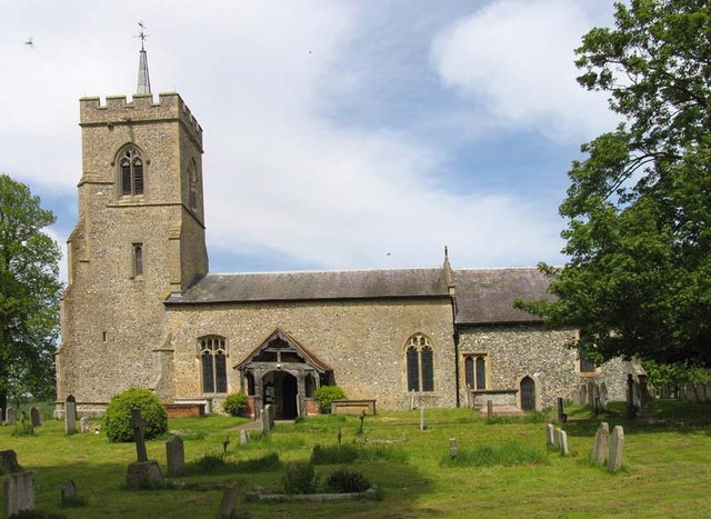
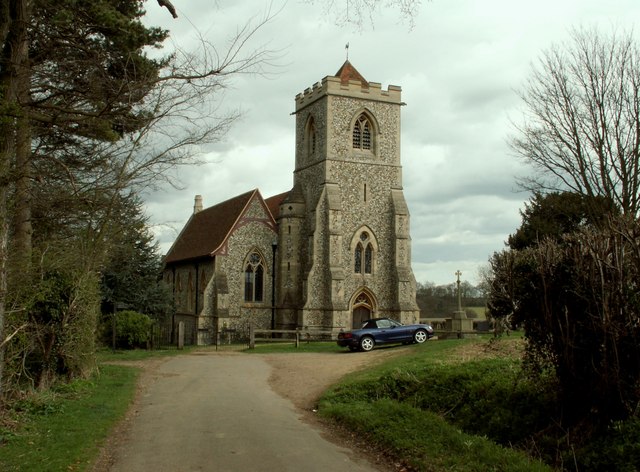
Salmon Mead Spring Images

Images are sourced within 2km of 51.901792/0.10517848 or Grid Reference TL4424. Thanks to Geograph Open Source API. All images are credited.

Building new section of the A120 This will bypass Little Hadham. The original section of the A120 follows a Roman road.
Building new section of the A120
This will bypass Little Hadham. The original section of the A120 follows a Roman road.
Building new section of the A120, looking east This will bypass Little Hadham. The original section of the A120 follows a Roman road.
Building new section of the A120, looking east
This will bypass Little Hadham. The original section of the A120 follows a Roman road.
Patmore Heath Patmore Heath is an example of grass heathland, now a scarce habitat in the south east of England. The heath is an SSSI, managed by The Herts and Middlesex Wildlife Trust, and covers about 9 hectares. There are several ponds, the southernmost of which is viewed here. <span class="nowrap"><a title="http://www.wildlifetrust.org.uk/herts/reserves/patmore%20heath.htm" rel="nofollow ugc noopener" href="http://www.wildlifetrust.org.uk/herts/reserves/patmore%20heath.htm">Link</a><img style="margin-left:2px;" alt="External link" title="External link - shift click to open in new window" src="https://s1.geograph.org.uk/img/external.png" width="10" height="10"/></span> for further information.
Patmore Heath
Patmore Heath is an example of grass heathland, now a scarce habitat in the south east of England. The heath is an SSSI, managed by The Herts and Middlesex Wildlife Trust, and covers about 9 hectares. There are several ponds, the southernmost of which is viewed here. LinkExternal link for further information.
River Ash near Gravesend Gravesend, Hertfordshire, that is! Viewed looking northwards and upstream, the river channel is dry for most of the year, water only being present when groundwater reaches the surface in the winter, or in flash floods.
River Ash near Gravesend
Gravesend, Hertfordshire, that is! Viewed looking northwards and upstream, the river channel is dry for most of the year, water only being present when groundwater reaches the surface in the winter, or in flash floods.
Albury The finest village football pitch complete with dugouts for the management, railings to keep the spectators in order, and there is a pavilion, not in the photo, too. The tower of the 13th Century Church of St. Mary The Virgin is visible above the trees. The very informative and active village website can be found here <span class="nowrap"><a title="http://www.alburyvillage.org.uk/index.htm" rel="nofollow ugc noopener" href="http://www.alburyvillage.org.uk/index.htm">Link</a><img style="margin-left:2px;" alt="External link" title="External link - shift click to open in new window" src="https://s1.geograph.org.uk/img/external.png" width="10" height="10"/></span>
Albury
The finest village football pitch complete with dugouts for the management, railings to keep the spectators in order, and there is a pavilion, not in the photo, too. The tower of the 13th Century Church of St. Mary The Virgin is visible above the trees. The very informative and active village website can be found here LinkExternal link
Clapgate Clapgate village viewed looking northwards towards the crossroads. This is an inadvertent near-repeat of an old photo on the Albury Village website, <span class="nowrap"><a title="http://www.alburyvillage.org.uk/images/Clapgate%20crossroads%20looking%20North.jpg" rel="nofollow ugc noopener" href="http://www.alburyvillage.org.uk/images/Clapgate%20crossroads%20looking%20North.jpg">Link</a><img style="margin-left:2px;" alt="External link" title="External link - shift click to open in new window" src="https://s1.geograph.org.uk/img/external.png" width="10" height="10"/></span> with the building on the right showing in both.
Clapgate
Clapgate village viewed looking northwards towards the crossroads. This is an inadvertent near-repeat of an old photo on the Albury Village website, LinkExternal link with the building on the right showing in both.
River Ash valley, Little Hadham Viewed looking north eastwards over arable farmland, this is the valley about 1 kilometre north of Little Hadham.
River Ash valley, Little Hadham
Viewed looking north eastwards over arable farmland, this is the valley about 1 kilometre north of Little Hadham.
Telephone box Old red phone box at Farnham Green.
Telephone box
Old red phone box at Farnham Green.
Patmore Hall farm buildings Viewed from the Harcamlow Way at Bogs Wood
Patmore Hall farm buildings
Viewed from the Harcamlow Way at Bogs Wood
Bogs Wood The Harcamlow Way at the eastern end of the wood
Bogs Wood
The Harcamlow Way at the eastern end of the wood
Upwick Farm House The house is about 50m from where the Harcamlow Way meets the road in the village of Upwick
Upwick Farm House
The house is about 50m from where the Harcamlow Way meets the road in the village of Upwick
Pillar Box Cottage This cottage is 50m from the Harcamlow Way where it enters the tiny village of Upwick Green
Pillar Box Cottage
This cottage is 50m from the Harcamlow Way where it enters the tiny village of Upwick Green
The Common The Common is a 1.5 km almost dead straight path leading from near Upwick Green to Thrimley Lane
The Common
The Common is a 1.5 km almost dead straight path leading from near Upwick Green to Thrimley Lane
Wood adjoining The Common Halfway along the length of The Common, there is this long, very narrow wood at right angles. Very distinctive
Wood adjoining The Common
Halfway along the length of The Common, there is this long, very narrow wood at right angles. Very distinctive
The wood adjoining The Common Looking west along The Common at the long, very narrow wood which is at right angles to the north
The wood adjoining The Common
Looking west along The Common at the long, very narrow wood which is at right angles to the north
Power lines These power lines cross The Common <a href="https://www.geograph.org.uk/gridref/TL457246">TL457246</a> at GR TL45242456
Power lines
These power lines cross The Common TL457246 at GR TL45242456
Footpath signpost Well-faded signs at the junction of The Common with Thrimley Lane which runs from Farnham to Bishop's Stortford.
Footpath signpost
Well-faded signs at the junction of The Common with Thrimley Lane which runs from Farnham to Bishop's Stortford.
Footpath signpost Old concrete signposts with straw bales where Thrimley Lane crosses the minor road from Upwick Green to Level's Green
Footpath signpost
Old concrete signposts with straw bales where Thrimley Lane crosses the minor road from Upwick Green to Level's Green
Show me another place!

Salmon Mead Spring is located at Grid Ref: TL4424 (Lat: 51.901792, Lng: 0.10517848)

Administrative County: Hertfordshire

District: East Hertfordshire

Police Authority: Hertfordshire

What 3 Words

///managers.rooftop.unite. Near Bishops Stortford, Hertfordshire

Related Wikis

Patmore Heath

Patmore Heath is a 7.6 hectares (19 acres) biological Site of Special Scientific Interest in East Hertfordshire, England, 2 kilometres north-east of Albury...

Albury, Hertfordshire

Albury is a village and civil parish in the East Hertfordshire district of Hertfordshire, England, about five miles west of Bishop's Stortford. According...

Albury End

Albury End is a hamlet in Hertfordshire, England. It is in the civil parish of Albury. == External links == Media related to Albury End at Wikimedia Commons

Little Hadham

Little Hadham is a village and civil parish in the district of East Hertfordshire, Hertfordshire, England. At the census of 2001 it had a population of...

Hillcollins Pit

Hillcollins Pit or Furneux Pelham Gravel Pit is a 0.2-hectare (0.49-acre) geological Site of Special Scientific Interest near Furneux Pelham in Hertfordshire...

Farnham, Essex

Farnham is a small village in Essex, England, situated near Bishop's Stortford. The main features are Farnham Church of England Primary School, the church...

Barleycroft End

Barleycroft End is a hamlet in Hertfordshire, England. It is in the civil parish of Furneux Pelham. == External links == Media related to Barleycroft...

Furneux Pelham

Furneux Pelham or Furneaux Pelham is a village and civil parish in Hertfordshire, England. The village is one of the Pelhams, part of an early medieval...

Related Videos

Reef - 'Refugee'

Reef - 'Refugee' Sign of The Times Festival - 16th June 2023 https://www.reeftheband.com http://www.rock-regeneration.co.uk.

Nearby Amenities

Located within 500m of 51.901792,0.10517848
Power: pole
Lat/Long: 51.8982191/0.1083853
Power: pole
Lat/Long: 51.8981255/0.1088946
Power: pole
Lat/Long: 51.8987256/0.1079159
Upwick Green
Place: hamlet
Lat/Long: 51.898379/0.1077801
Grit Bin
Lat/Long: 51.8978417/0.104144
The data included in this document is from www.openstreetmap.org. The data is made available under ODbL.

Have you been to Salmon Mead Spring?

Leave your review of Salmon Mead Spring below (or comments, questions and feedback).