Paupersdale Wood

Wood, Forest in Sussex Wealden

England

Paupersdale Wood

Sawpit Wood From Forest Way
Sawpit Wood Credit: Simon Carey

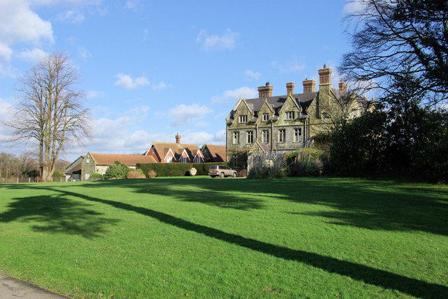
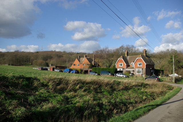
Paupersdale Wood is a picturesque woodland located in Sussex, England. Spanning over an expansive area, the wood is known for its enchanting beauty and diverse range of flora and fauna. It is a popular destination for nature enthusiasts, hikers, and bird watchers.

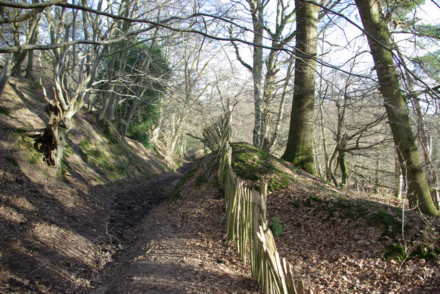
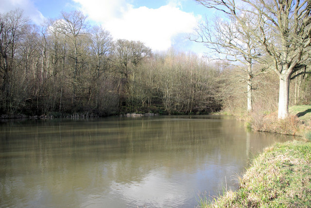
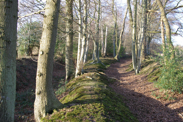
The wood is characterized by its dense canopy of trees, primarily consisting of oak, beech, and birch. These towering trees provide a serene atmosphere and offer shelter to a variety of wildlife. The forest floor is covered in a thick carpet of moss, ferns, and wildflowers, creating a vibrant and colorful landscape.

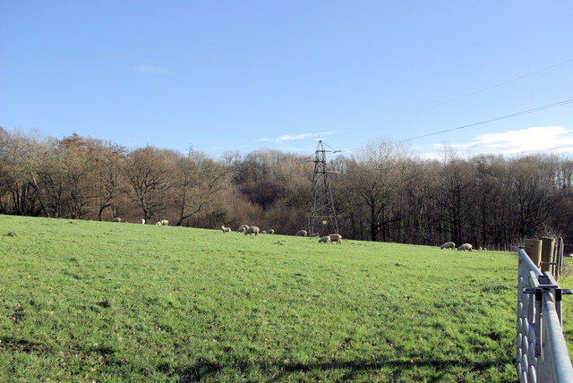
Paupersdale Wood is home to a rich diversity of wildlife. Visitors may encounter deer, foxes, badgers, and various species of birds, including woodpeckers and owls. The wood is particularly renowned for its population of songbirds, which fill the air with their melodious tunes.

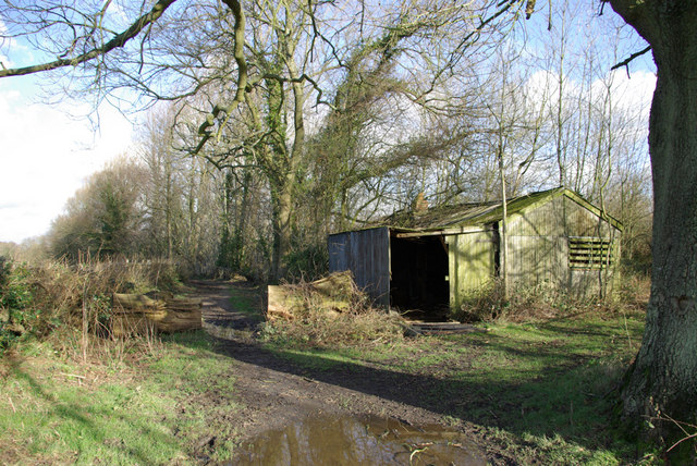
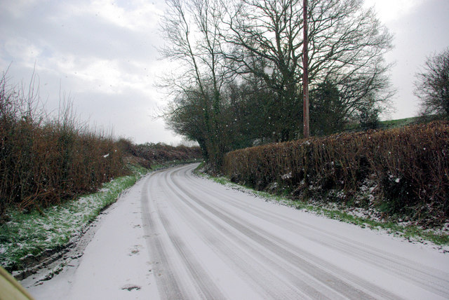
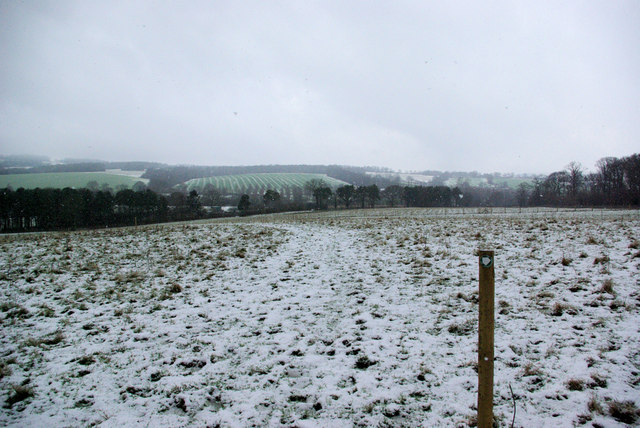
Several well-maintained trails wind through the wood, providing ample opportunities for exploration. The paths offer stunning views of the surrounding countryside, with occasional glimpses of nearby ponds and streams. Along the trails, visitors will find informative signs and markers, highlighting points of interest and providing educational information about the local ecology.

The wood is managed by a dedicated team who work to preserve its natural beauty and protect its inhabitants. They conduct regular conservation efforts, ensuring the sustainability of the woodland ecosystem.

Overall, Paupersdale Wood is a captivating destination for those seeking tranquility and a connection with nature. Its lush vegetation, diverse wildlife, and well-maintained trails make it a haven for outdoor enthusiasts and a cherished part of Sussex's natural heritage.

If you have any feedback on the listing, please let us know in the comments section below.

Paupersdale Wood Images

Images are sourced within 2km of 51.113451/0.06910515 or Grid Reference TQ4436. Thanks to Geograph Open Source API. All images are credited.

Sawpit Wood From Forest Way
Sawpit Wood
From Forest Way
Cansiron / Butcherfield Lane, Hartfield On the right angled corner looking east along Butcherfield Lane and at the entrance (behind) to Great Cansiron Farm
Cansiron / Butcherfield Lane, Hartfield
On the right angled corner looking east along Butcherfield Lane and at the entrance (behind) to Great Cansiron Farm
Bassett's Manor Looking northwards from the road/path towards Bassett's Manor farm buildings. Cattle in the far field.
Bassett's Manor
Looking northwards from the road/path towards Bassett's Manor farm buildings. Cattle in the far field.
Bassett's Manor fields Looking south west over the farm buildings towards the distant sunshine
Bassett's Manor fields
Looking south west over the farm buildings towards the distant sunshine
Thornhill An imposing house viewed from the Vanguard Way footpath.
Thornhill
An imposing house viewed from the Vanguard Way footpath.
Sheep grazing Viewed from the Vanguard Way footpath.
Sheep grazing
Viewed from the Vanguard Way footpath.
Dog Gate Lodge At a crossroads of tracks. The Vanguard way comes from the south and turns initially west (out of sight), a private track goes north, and a public bridleway goes east.
Dog Gate Lodge
At a crossroads of tracks. The Vanguard way comes from the south and turns initially west (out of sight), a private track goes north, and a public bridleway goes east.
Owletts Cottage Not a whimsical name - there is a nearby Owlett's Farm.
Owletts Cottage
Not a whimsical name - there is a nearby Owlett's Farm.
Bridleway, Highams Wood There was a badger sett in the mound in the centre.
Bridleway, Highams Wood
There was a badger sett in the mound in the centre.
Cottages, Ashdown Park Farm The communications tower at the top of Highams Wood is visible on the skyline.
Cottages, Ashdown Park Farm
The communications tower at the top of Highams Wood is visible on the skyline.
Lake above Ashdown Park Farm One of a series of lakes or reservoirs on the hillside.
Lake above Ashdown Park Farm
One of a series of lakes or reservoirs on the hillside.
Shed by the Bridleway A disused shed with a chimney. Possibly something to do with fruit, as an orchard is marked on the map, although not obvious now.
Shed by the Bridleway
A disused shed with a chimney. Possibly something to do with fruit, as an orchard is marked on the map, although not obvious now.
Power Line Gap A power line heads east in the general direction of Great Cansiron Farm, hidden behind the modestly named Acre Wood in the distance.
Power Line Gap
A power line heads east in the general direction of Great Cansiron Farm, hidden behind the modestly named Acre Wood in the distance.
Cowshed, Owlett's Farm The moment they saw the camera, the cows retreated from the mangers into the depths of the shed.
Cowshed, Owlett's Farm
The moment they saw the camera, the cows retreated from the mangers into the depths of the shed.
Cansiron Lane A snowy morning.
Cansiron Lane
A snowy morning.
Butcherfield Lane in the snow The snow was increasing.
Butcherfield Lane in the snow
The snow was increasing.
Permissive Path towards Lower Parrock The path actually heads for the local sewage works first, hidden in the trees at the bottom of the field.
Permissive Path towards Lower Parrock
The path actually heads for the local sewage works first, hidden in the trees at the bottom of the field.
Old Trackways above Lower Parrock These were probably formed when iron ore from the Wadhurst Clay along the higher ground north of the Medway was brought down to the iron works at Lower Parrock. The public footpath now forms a parallel third way at the field edge to the right.
Old Trackways above Lower Parrock
These were probably formed when iron ore from the Wadhurst Clay along the higher ground north of the Medway was brought down to the iron works at Lower Parrock. The public footpath now forms a parallel third way at the field edge to the right.
Show me another place!

Paupersdale Wood is located at Grid Ref: TQ4436 (Lat: 51.113451, Lng: 0.06910515)

Administrative County: East Sussex

District: Wealden

Police Authority: Sussex

What 3 Words

///lyricist.inherit.tones. Near Forest Row, East Sussex

Related Wikis

Ashdown House, East Sussex

Ashdown House is a country house and former school near Forest Row, East Sussex, England, a Grade II* listed building. One of the first houses in England...

Emerson College (UK)

Emerson College, UK was founded in 1962 by Francis Edmunds. It is now situated on Pixton Hill, Forest Row in East Sussex, UK. It was named after Ralph...

Bassetts Manor

Bassetts Manor is a Grade II-listed building in Hartfield, East Sussex, England. == Location == The manor is located North of the village of Hartfield...

Hammerwood Park

Hammerwood Park is a country house in Hammerwood, near East Grinstead, in East Sussex, England. It is a Grade I listed building. One of the first houses...

Hammerwood

Hammerwood is a hamlet in the civil parish of Forest Row in East Sussex, England. Its nearest town is East Grinstead, which lies approximately 3.5 miles...

Forest Row railway station

Forest Row was a railway station on the Three Bridges to Tunbridge Wells Central Line which closed in 1967, a casualty of the Beeching Axe.The station...

Bolebroke Castle

Bolebroke Castle is a 15th-century hunting lodge located north of the village of Hartfield, East Sussex, England. It is a Grade II* listed building.The...

Bolebroke Castle Miniature Railway

The Bolebroke Castle Miniature Railway or Bolebroke Castle and Lakes Railway (often abbreviated to BC&LR) was a 7+1⁄4 inches (180 mm) railway that ran...

Nearby Amenities

Located within 500m of 51.113451,0.06910515
Barrier: stile
Lat/Long: 51.1104329/0.0643089
Power: tower
Lat/Long: 51.1096586/0.0689247
Power: tower
Lat/Long: 51.1102805/0.0724468
Pollard Wood
Natural: wood
Lat/Long: 51.1137969/0.0629468
The data included in this document is from www.openstreetmap.org. The data is made available under ODbL.

Have you been to Paupersdale Wood?

Leave your review of Paupersdale Wood below (or comments, questions and feedback).