Woodcock Shaw

Wood, Forest in Sussex Wealden

England

Woodcock Shaw

River Medway Taken from the roadbridge that leads to Ashdown School.
River Medway Credit: Simon Carey

Woodcock Shaw is a charming and picturesque village located in the county of Sussex, England. Nestled amidst lush green forests and surrounded by the serene beauty of nature, this village is a haven for those seeking tranquility and a break from the hustle and bustle of city life.

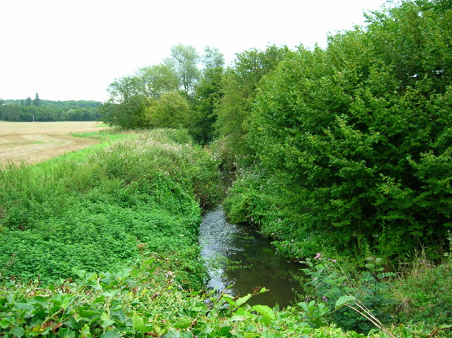
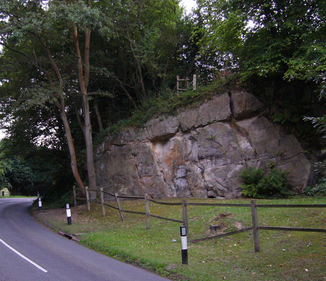
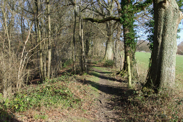
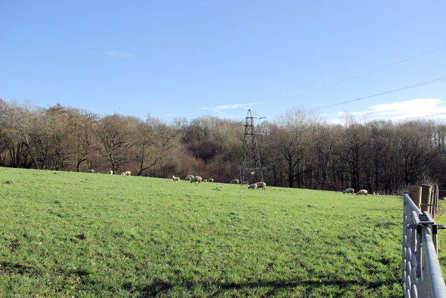
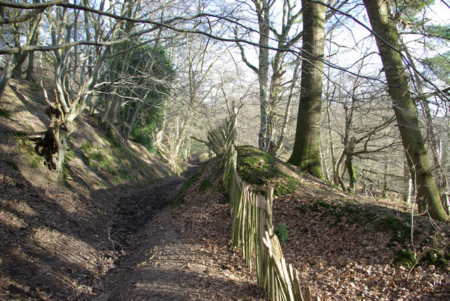
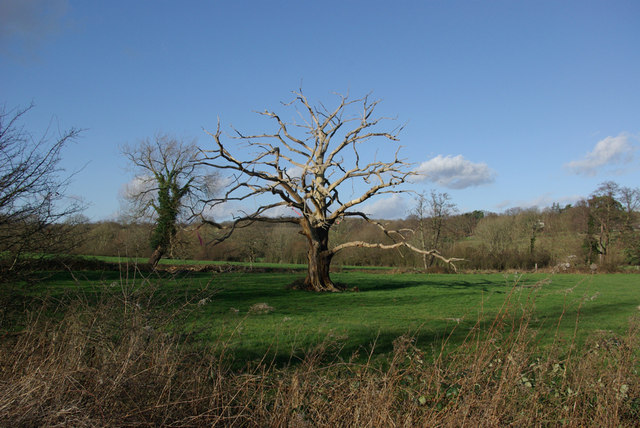
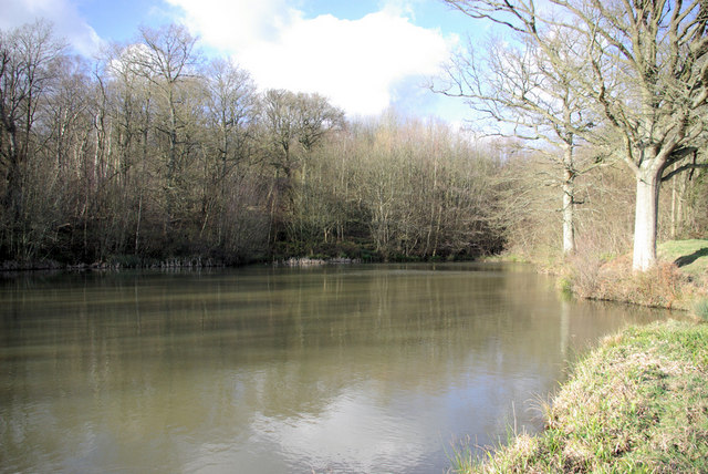
The village gets its name from the abundance of woodlands and forests that envelop it. Woodcock Shaw is known for its dense and ancient woods, which provide a habitat for a diverse range of flora and fauna. The towering trees, including oak, beech, and birch, create a majestic canopy that offers shade and shelter to the local wildlife.

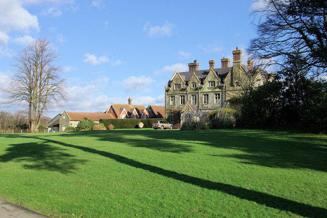
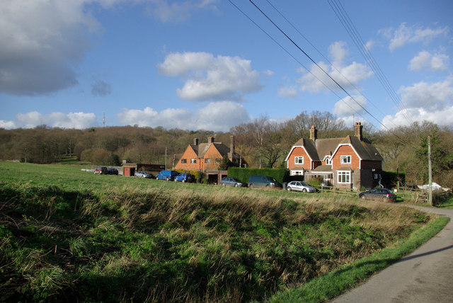
The village itself is small and quaint, with traditional English cottages dotting the landscape. The architecture is a mix of historic and modern, with some buildings dating back several centuries. The locals are friendly and welcoming, often engaging in community activities and events.

Woodcock Shaw is popular among hikers and nature enthusiasts, as it offers numerous walking trails and paths that wind through the enchanting woodlands. These trails provide stunning views of the surrounding countryside and are a perfect way to immerse oneself in nature.

For those interested in history, the village boasts a rich heritage. The local church, St. Mary's, is a prime example of medieval architecture and is a must-visit for history buffs. The village also has a small museum that showcases artifacts and exhibits tracing the area's past.

In conclusion, Woodcock Shaw is a charming village that offers a peaceful retreat in the heart of Sussex. With its breathtaking forests, friendly community, and historical significance, it is a place that truly captures the essence of rural England.

If you have any feedback on the listing, please let us know in the comments section below.

Woodcock Shaw Images

Images are sourced within 2km of 51.111625/0.05946555 or Grid Reference TQ4436. Thanks to Geograph Open Source API. All images are credited.

River Medway Taken from the roadbridge that leads to Ashdown School.
River Medway
Taken from the roadbridge that leads to Ashdown School.
Cansiron / Butcherfield Lane, Hartfield On the right angled corner looking east along Butcherfield Lane and at the entrance (behind) to Great Cansiron Farm
Cansiron / Butcherfield Lane, Hartfield
On the right angled corner looking east along Butcherfield Lane and at the entrance (behind) to Great Cansiron Farm
Bassett's Manor fields Looking south west over the farm buildings towards the distant sunshine
Bassett's Manor fields
Looking south west over the farm buildings towards the distant sunshine
Wealden outcrop in Homestall Road which is in East Sussex but continue away from the photographer along that road for a couple of hundred yards and you come to Ashurst Wood, West Sussex. Stoke Brunswick School lies behind the outcrop. The rock is rusty because it contains iron ore.
Wealden outcrop
in Homestall Road which is in East Sussex but continue away from the photographer along that road for a couple of hundred yards and you come to Ashurst Wood, West Sussex. Stoke Brunswick School lies behind the outcrop. The rock is rusty because it contains iron ore.
Vanguard Way The footpath ascends the hill north of Forest Row. Old ironstone diggings on the left.
Vanguard Way
The footpath ascends the hill north of Forest Row. Old ironstone diggings on the left.
Thornhill An imposing house viewed from the Vanguard Way footpath.
Thornhill
An imposing house viewed from the Vanguard Way footpath.
Sheep grazing Viewed from the Vanguard Way footpath.
Sheep grazing
Viewed from the Vanguard Way footpath.
Dog Gate Lodge At a crossroads of tracks. The Vanguard way comes from the south and turns initially west (out of sight), a private track goes north, and a public bridleway goes east.
Dog Gate Lodge
At a crossroads of tracks. The Vanguard way comes from the south and turns initially west (out of sight), a private track goes north, and a public bridleway goes east.
Owletts Cottage Not a whimsical name - there is a nearby Owlett's Farm.
Owletts Cottage
Not a whimsical name - there is a nearby Owlett's Farm.
Bridleway, Highams Wood There was a badger sett in the mound in the centre.
Bridleway, Highams Wood
There was a badger sett in the mound in the centre.
Cottages, Ashdown Park Farm The communications tower at the top of Highams Wood is visible on the skyline.
Cottages, Ashdown Park Farm
The communications tower at the top of Highams Wood is visible on the skyline.
Satellite Borehole 444009 In the Medway valley.
Satellite Borehole 444009
In the Medway valley.
Two-arched Bridge On the Forest Way, the old East Grinstead - Tunbridge Wells railway. The over-bridges here appear built for double track, the cutting for single track.
Two-arched Bridge
On the Forest Way, the old East Grinstead - Tunbridge Wells railway. The over-bridges here appear built for double track, the cutting for single track.
Dead Oak In a field beside the River Medway.

Update: some good time later a correspondent advised this had now fallen over - it was later photographed - see <a href="https://www.geograph.org.uk/photo/1691739">TQ4334 : Fallen dead oak tree</a>.
Dead Oak
In a field beside the River Medway. Update: some good time later a correspondent advised this had now fallen over - it was later photographed - see TQ4334 : Fallen dead oak tree.
Lake above Ashdown Park Farm One of a series of lakes or reservoirs on the hillside.
Lake above Ashdown Park Farm
One of a series of lakes or reservoirs on the hillside.
Shed by the Bridleway A disused shed with a chimney. Possibly something to do with fruit, as an orchard is marked on the map, although not obvious now.
Shed by the Bridleway
A disused shed with a chimney. Possibly something to do with fruit, as an orchard is marked on the map, although not obvious now.
Power Line Gap A power line heads east in the general direction of Great Cansiron Farm, hidden behind the modestly named Acre Wood in the distance.
Power Line Gap
A power line heads east in the general direction of Great Cansiron Farm, hidden behind the modestly named Acre Wood in the distance.
Cowshed, Owlett's Farm The moment they saw the camera, the cows retreated from the mangers into the depths of the shed.
Cowshed, Owlett's Farm
The moment they saw the camera, the cows retreated from the mangers into the depths of the shed.
Show me another place!

Woodcock Shaw is located at Grid Ref: TQ4436 (Lat: 51.111625, Lng: 0.05946555)

Administrative County: East Sussex

District: Wealden

Police Authority: Sussex

What 3 Words

///kind.slab.repeat. Near Forest Row, East Sussex

Related Wikis

Ashdown House, East Sussex

Ashdown House is a country house and former school near Forest Row, East Sussex, England, a Grade II* listed building. One of the first houses in England...

Emerson College (UK)

Emerson College, UK was founded in 1962 by Francis Edmunds. It is now situated on Pixton Hill, Forest Row in East Sussex, UK. It was named after Ralph...

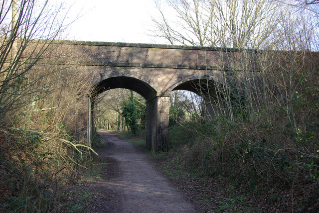
Forest Row railway station

Forest Row was a railway station on the Three Bridges to Tunbridge Wells Central Line which closed in 1967, a casualty of the Beeching Axe.The station...

Hammerwood Park

Hammerwood Park is a country house in Hammerwood, near East Grinstead, in East Sussex, England. It is a Grade I listed building. One of the first houses...

Stoke Brunswick School

Stoke Brunswick School was a small co-educational day and boarding independent school for children aged 3 to 13 years, situated in Ashurst Wood, West Sussex...

Ashurst Wood

Ashurst Wood is a village and civil parish in the Mid Sussex District of West Sussex, within the historic county of Sussex, England. It is 1 mile (2 km...

Forest Row

Forest Row is a village and a large civil parish in the Wealden District of East Sussex, England. The village is located three miles (5 km) south-east...

Hammerwood

Hammerwood is a hamlet in the civil parish of Forest Row in East Sussex, England. Its nearest town is East Grinstead, which lies approximately 3.5 miles...

Nearby Amenities

Located within 500m of 51.111625,0.05946555
Barrier: stile
Foot: yes
Lat/Long: 51.1097123/0.054982
Barrier: stile
Foot: yes
Lat/Long: 51.1096958/0.0552106
Barrier: stile
Foot: yes
Lat/Long: 51.1108007/0.0533738
Barrier: stile
Foot: yes
Lat/Long: 51.1114959/0.0527698
Barrier: stile
Lat/Long: 51.1117128/0.0525274
Barrier: stile
Foot: yes
Lat/Long: 51.1099867/0.0581025
Barrier: stile
Foot: yes
Lat/Long: 51.1117937/0.0620665
Barrier: stile
Lat/Long: 51.1104329/0.0643089
Power: tower
Lat/Long: 51.1080012/0.059789
Power: tower
Lat/Long: 51.1084763/0.0622291
Power: tower
Lat/Long: 51.1090139/0.0652736
Pollard Wood
Natural: wood
Lat/Long: 51.1137969/0.0629468
The data included in this document is from www.openstreetmap.org. The data is made available under ODbL.

Have you been to Woodcock Shaw?

Leave your review of Woodcock Shaw below (or comments, questions and feedback).