Tanner's Hill Pett

Hill, Mountain in Sussex Wealden

England

Tanner's Hill Pett

River Medway at Forest Row Taken as the river briefly heads south under the Forest Way.
River Medway at Forest Row Credit: Simon Carey

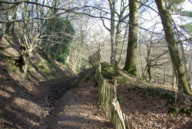
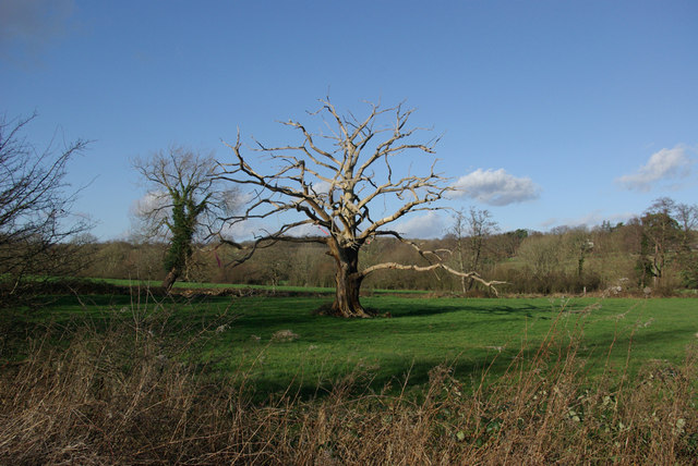
Tanner's Hill Pett is a prominent hill located in the county of Sussex, England. It is situated in the village of Pett, which lies in the eastern part of the county. Standing at an elevation of approximately 154 meters (505 feet), Tanner's Hill offers breathtaking panoramic views of the surrounding countryside and the English Channel.

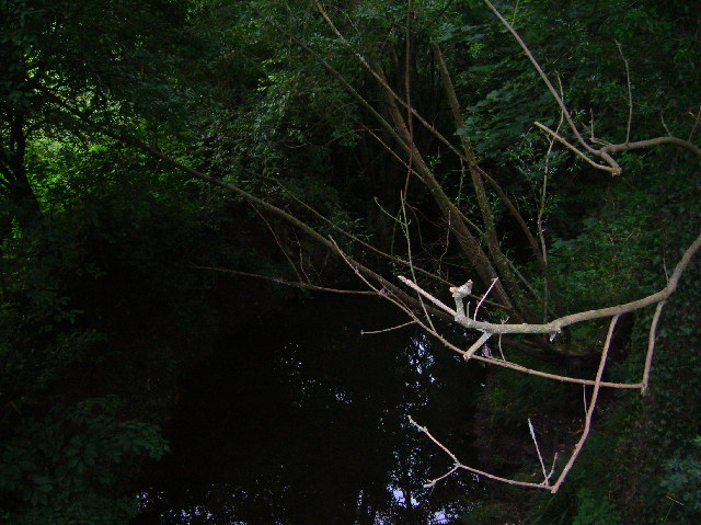
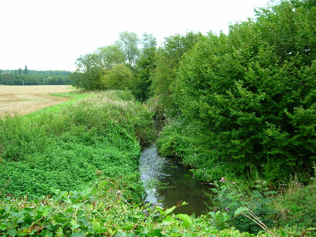
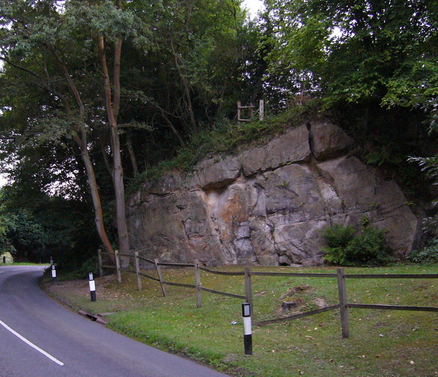
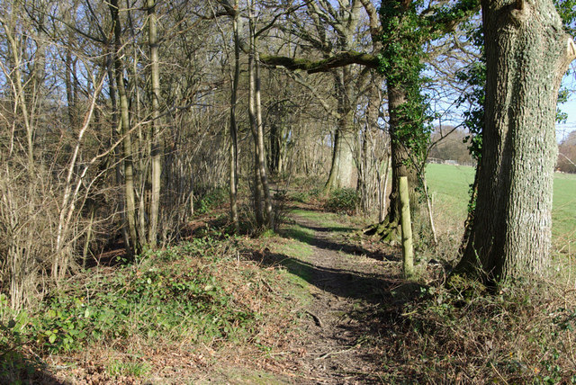
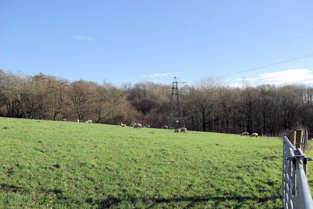
The hill is known for its lush green landscape and is covered with a variety of vegetation, including grasses, shrubs, and some scattered trees. It is a popular spot for outdoor enthusiasts, hikers, and nature lovers who enjoy exploring the picturesque countryside.

At the summit of Tanner's Hill, there is a trig point, also known as a triangulation pillar, which was used in the past for mapping and surveying purposes. The trig point provides a reference point for measuring distances and angles across the area.

Tanner's Hill is also home to an abundance of wildlife, including birds, butterflies, and small mammals. It offers a peaceful and tranquil environment, providing a habitat for various species.

The hill is easily accessible by foot, with several walking paths and trails leading to the summit. Its location near the village of Pett allows visitors to combine their visit with exploring the charming village and its historic landmarks.

Overall, Tanner's Hill Pett is a natural landmark that offers stunning views, diverse flora and fauna, and a peaceful retreat for those seeking a connection with nature in the heart of Sussex.

If you have any feedback on the listing, please let us know in the comments section below.

Tanner's Hill Pett Images

Images are sourced within 2km of 51.110219/0.056560023 or Grid Reference TQ4436. Thanks to Geograph Open Source API. All images are credited.

River Medway at Forest Row Taken as the river briefly heads south under the Forest Way.
River Medway at Forest Row
Taken as the river briefly heads south under the Forest Way.
River Medway Taken from the roadbridge that leads to Ashdown School.
River Medway
Taken from the roadbridge that leads to Ashdown School.
Cansiron / Butcherfield Lane, Hartfield On the right angled corner looking east along Butcherfield Lane and at the entrance (behind) to Great Cansiron Farm
Cansiron / Butcherfield Lane, Hartfield
On the right angled corner looking east along Butcherfield Lane and at the entrance (behind) to Great Cansiron Farm
The Maypole 76 Maypole Road, Ashurst Wood. The village seems to have decided within the last thrity years that it is two words and not Ashurstwood as on older maps
The Maypole
76 Maypole Road, Ashurst Wood. The village seems to have decided within the last thrity years that it is two words and not Ashurstwood as on older maps
Wealden outcrop in Homestall Road which is in East Sussex but continue away from the photographer along that road for a couple of hundred yards and you come to Ashurst Wood, West Sussex. Stoke Brunswick School lies behind the outcrop. The rock is rusty because it contains iron ore.
Wealden outcrop
in Homestall Road which is in East Sussex but continue away from the photographer along that road for a couple of hundred yards and you come to Ashurst Wood, West Sussex. Stoke Brunswick School lies behind the outcrop. The rock is rusty because it contains iron ore.
Future Cycles The lights are coming on in Forest Row as the photographer queues on the A22 - a probable fallen tree ahead - never found out, turned round and went another way.
Future Cycles
The lights are coming on in Forest Row as the photographer queues on the A22 - a probable fallen tree ahead - never found out, turned round and went another way.
Vanguard Way The footpath ascends the hill north of Forest Row. Old ironstone diggings on the left.
Vanguard Way
The footpath ascends the hill north of Forest Row. Old ironstone diggings on the left.
Thornhill An imposing house viewed from the Vanguard Way footpath.
Thornhill
An imposing house viewed from the Vanguard Way footpath.
Sheep grazing Viewed from the Vanguard Way footpath.
Sheep grazing
Viewed from the Vanguard Way footpath.
Dog Gate Lodge At a crossroads of tracks. The Vanguard way comes from the south and turns initially west (out of sight), a private track goes north, and a public bridleway goes east.
Dog Gate Lodge
At a crossroads of tracks. The Vanguard way comes from the south and turns initially west (out of sight), a private track goes north, and a public bridleway goes east.
Owletts Cottage Not a whimsical name - there is a nearby Owlett's Farm.
Owletts Cottage
Not a whimsical name - there is a nearby Owlett's Farm.
Bridleway, Highams Wood There was a badger sett in the mound in the centre.
Bridleway, Highams Wood
There was a badger sett in the mound in the centre.
Cottages, Ashdown Park Farm The communications tower at the top of Highams Wood is visible on the skyline.
Cottages, Ashdown Park Farm
The communications tower at the top of Highams Wood is visible on the skyline.
Satellite Borehole 444009 In the Medway valley.
Satellite Borehole 444009
In the Medway valley.
Hartfield Road at Post Horn Lane Junction Looking towards Hartfield on B2110.
Hartfield Road at Post Horn Lane Junction
Looking towards Hartfield on B2110.
Two-arched Bridge On the Forest Way, the old East Grinstead - Tunbridge Wells railway. The over-bridges here appear built for double track, the cutting for single track.
Two-arched Bridge
On the Forest Way, the old East Grinstead - Tunbridge Wells railway. The over-bridges here appear built for double track, the cutting for single track.
Baptist Chapel, Forest Row The brick chapel building on the corner of Chapel Lane and Hartfield Road is in TQ4334, the white chapel building in TQ4234.
Baptist Chapel, Forest Row
The brick chapel building on the corner of Chapel Lane and Hartfield Road is in TQ4334, the white chapel building in TQ4234.
Dead Oak In a field beside the River Medway.

Update: some good time later a correspondent advised this had now fallen over - it was later photographed - see <a href="https://www.geograph.org.uk/photo/1691739">TQ4334 : Fallen dead oak tree</a>.
Dead Oak
In a field beside the River Medway. Update: some good time later a correspondent advised this had now fallen over - it was later photographed - see TQ4334 : Fallen dead oak tree.
Show me another place!

Tanner's Hill Pett is located at Grid Ref: TQ4436 (Lat: 51.110219, Lng: 0.056560023)

Administrative County: East Sussex

District: Wealden

Police Authority: Sussex

What 3 Words

///cherub.wrenching.butterfly. Near Forest Row, East Sussex

Related Wikis

Ashdown House, East Sussex

Ashdown House is a country house and former school near Forest Row, East Sussex, England, a Grade II* listed building. One of the first houses in England...

Emerson College (UK)

Emerson College, UK was founded in 1962 by Francis Edmunds. It is now situated on Pixton Hill, Forest Row in East Sussex, UK. It was named after Ralph...

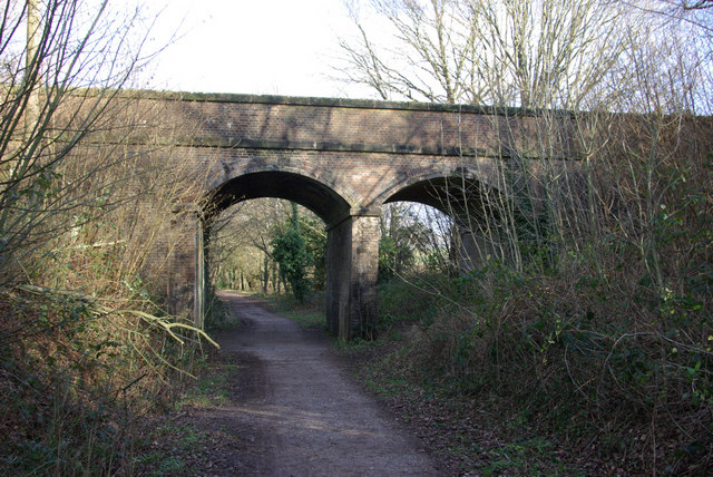
Forest Row railway station

Forest Row was a railway station on the Three Bridges to Tunbridge Wells Central Line which closed in 1967, a casualty of the Beeching Axe.The station...

Ashurst Wood

Ashurst Wood is a village and civil parish in the Mid Sussex District of West Sussex, within the historic county of Sussex, England. It is 1 mile (2 km...

Stoke Brunswick School

Stoke Brunswick School was a small co-educational day and boarding independent school for children aged 3 to 13 years, situated in Ashurst Wood, West Sussex...
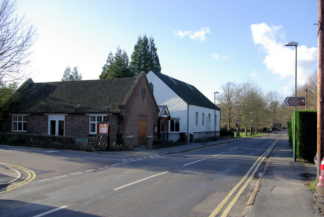
Forest Row

Forest Row is a village and a large civil parish in the Wealden District of East Sussex, England. The village is located three miles (5 km) south-east...

Hammerwood Park

Hammerwood Park is a country house in Hammerwood, near East Grinstead, in East Sussex, England. It is a Grade I listed building. One of the first houses...

Hammerwood

Hammerwood is a hamlet in the civil parish of Forest Row in East Sussex, England. Its nearest town is East Grinstead, which lies approximately 3.5 miles...

Nearby Amenities

Located within 500m of 51.110219,0.056560023
Barrier: stile
Foot: yes
Lat/Long: 51.1083119/0.0539186
Barrier: stile
Foot: yes
Lat/Long: 51.1081744/0.0536636
Height: 25
Man Made: tower
Tower Type: communication
Lat/Long: 51.1077754/0.0534644
Barrier: stile
Foot: yes
Lat/Long: 51.1077964/0.053357
Barrier: stile
Foot: yes
Lat/Long: 51.1097123/0.054982
Barrier: stile
Foot: yes
Lat/Long: 51.1096958/0.0552106
Barrier: stile
Foot: yes
Lat/Long: 51.1108007/0.0533738
Barrier: stile
Foot: yes
Lat/Long: 51.1114959/0.0527698
Barrier: stile
Lat/Long: 51.1117128/0.0525274
Barrier: stile
Foot: yes
Lat/Long: 51.1099867/0.0581025
Barrier: stile
Foot: yes
Lat/Long: 51.1117937/0.0620665
Power: tower
Lat/Long: 51.1066658/0.0522157
Power: tower
Lat/Long: 51.1071823/0.0551903
Power: tower
Lat/Long: 51.1080012/0.059789
Power: tower
Lat/Long: 51.1084763/0.0622291
The data included in this document is from www.openstreetmap.org. The data is made available under ODbL.

Have you been to Tanner's Hill Pett?

Leave your review of Tanner's Hill Pett below (or comments, questions and feedback).