Whitelands Wood
Wood, Forest in Kent
England
Whitelands Wood
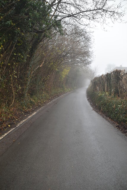
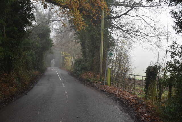
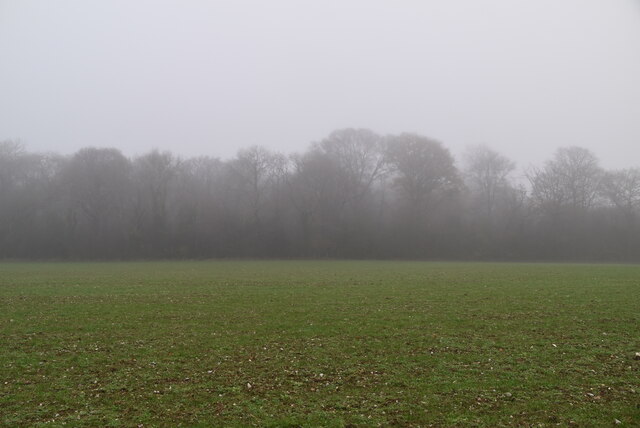
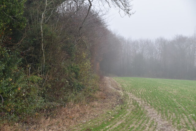
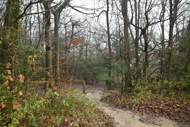
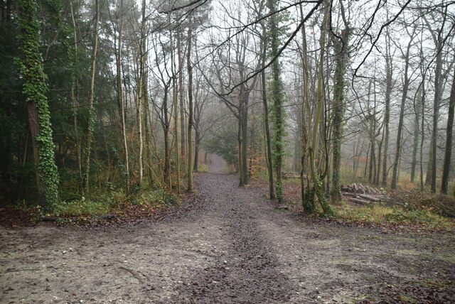
Whitelands Wood is a picturesque woodland located in the county of Kent, England. Situated near the town of Sevenoaks, this charming forest covers an area of approximately 150 acres, making it a popular destination for nature enthusiasts and outdoor lovers.
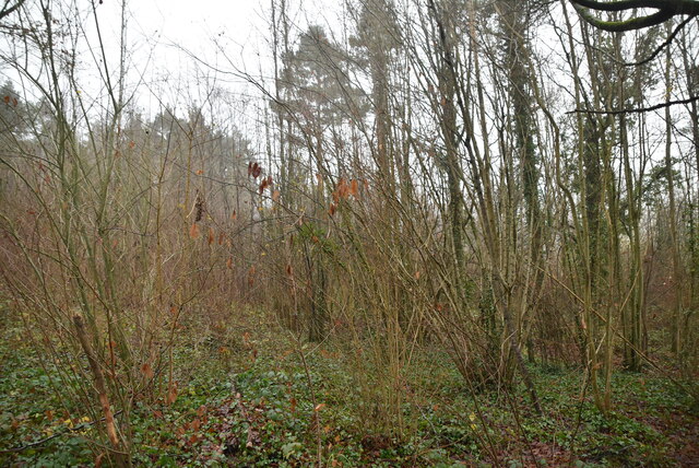
The wood is known for its diverse range of tree species, including oak, beech, birch, and hazel, which create a vibrant and lush green canopy. The woodland floor is carpeted with an array of wildflowers, adding bursts of color throughout the seasons.
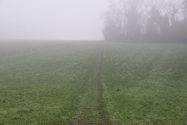
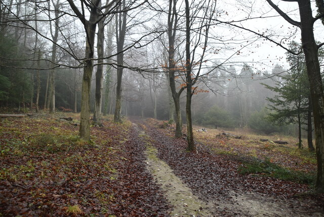
Whitelands Wood offers a variety of walking trails, providing visitors with the opportunity to explore its natural beauty. The trails are well-maintained and suitable for all levels of hikers, from beginners to experienced adventurers. As visitors wander through the forest, they can enjoy the peaceful atmosphere and listen to the soothing sounds of birds chirping and leaves rustling in the wind.
The wood is also home to a diverse range of wildlife, including deer, foxes, and various bird species. Wildlife enthusiasts can spot these creatures in their natural habitat and observe their behaviors.
Whitelands Wood is not only a haven for nature lovers but also an important site for conservation. The woodland is managed by local authorities and conservation organizations to ensure the preservation of its natural ecosystem and biodiversity.
Overall, Whitelands Wood is a hidden gem in Kent, offering visitors a tranquil escape from the hustle and bustle of everyday life. Its stunning scenery, diverse flora and fauna, and well-maintained trails make it a must-visit destination for anyone seeking a connection with nature.
If you have any feedback on the listing, please let us know in the comments section below.
Whitelands Wood Images
Images are sourced within 2km of 51.348353/0.079712801 or Grid Reference TQ4463. Thanks to Geograph Open Source API. All images are credited.


Whitelands Wood is located at Grid Ref: TQ4463 (Lat: 51.348353, Lng: 0.079712801)
Unitary Authority: Bromley
Police Authority: Metropolitan
What 3 Words
///forms.dose.wicked. Near Farnborough, London
Nearby Locations
Related Wikis

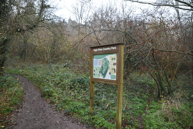
High Elms Country Park
High Elms Country Park is an extensive 250-acre (100 ha) public park on the North Downs in Farnborough in the London Borough of Bromley. It is a Local...

Green Street Green
Green Street Green is an area in south-east London, located in the London Borough of Bromley and, prior to 1965, in the historic county of Kent. It is...

Orpington (UK Parliament constituency)
Orpington is a constituency created in 1945 and represented in the House of Commons of the UK Parliament since 2019 by Gareth Bacon, a Conservative. It...

Farnborough, London
Farnborough is a village in south-eastern Greater London, England, and prior to 1965, in the historic county of Kent. Situated south of Locksbottom, west...

Hazelwood, London
Hazelwood is a hamlet in Greater London, England. It is located within the London Borough of Bromley, to the east of Downe. == References ==

London Borough of Bromley
The London Borough of Bromley ( ) is the largest and southeasternmost of the London boroughs that make up Greater London, bordering the county of Kent...

Orpington Hospital
Orpington Hospital is an acute general hospital in Orpington, London. It is managed by the King's College Hospital NHS Foundation Trust. == History... ==

2008 Biggin Hill Cessna Citation crash
On 30 March 2008, a Cessna 501 Citation crashed into a house in Farnborough, London (UK), near Biggin Hill Airport, from where the aircraft had taken off...
Nearby Amenities
Located within 500m of 51.348353,0.079712801Have you been to Whitelands Wood?
Leave your review of Whitelands Wood below (or comments, questions and feedback).