Woodpiece
Wood, Forest in Kent
England
Woodpiece

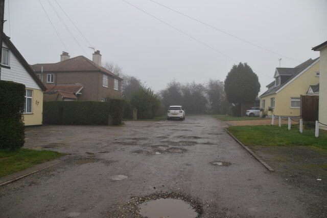
Woodpiece, Kent, also known as Wood or Forest, is a picturesque village located in the county of Kent, England. Nestled amidst the stunning countryside, Woodpiece is renowned for its abundant woodland areas and natural beauty.
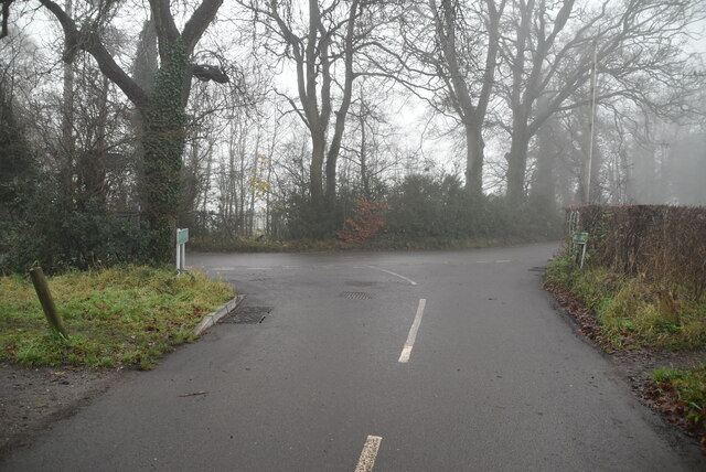
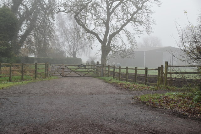
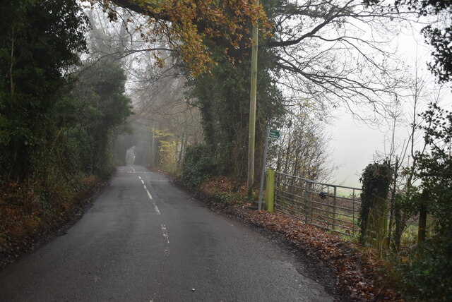
The village is situated on the outskirts of the larger town of Kent, providing residents with a peaceful and tranquil living environment. The landscape of Woodpiece is dominated by lush greenery, with sprawling forests and woodlands that attract visitors from far and wide.
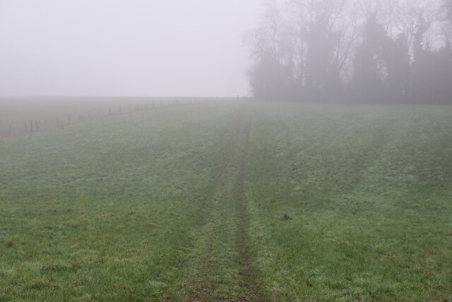
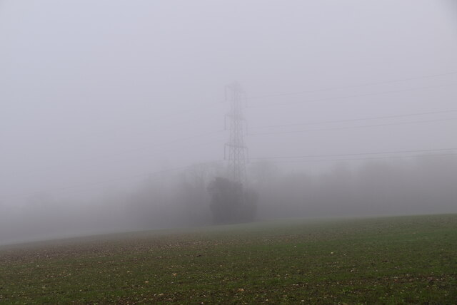
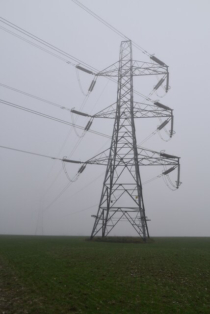
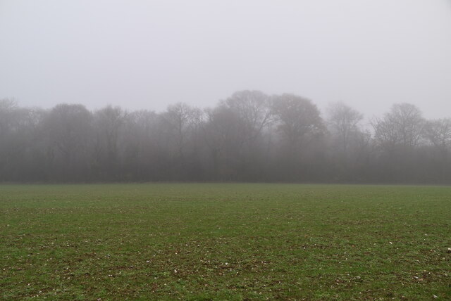
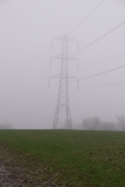
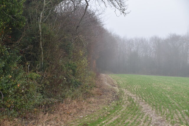
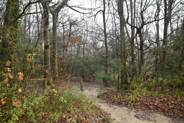
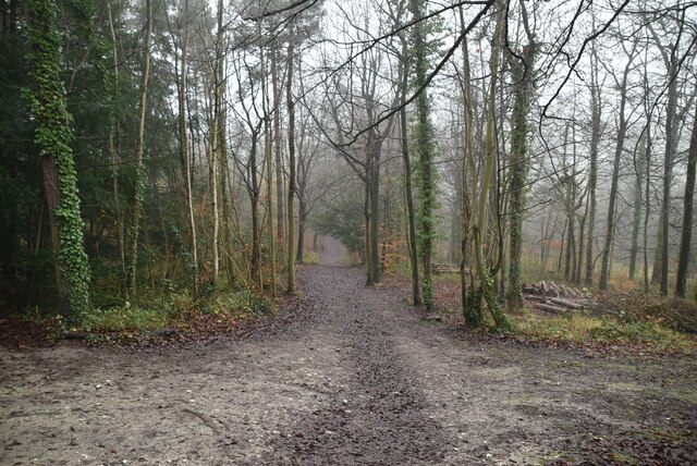
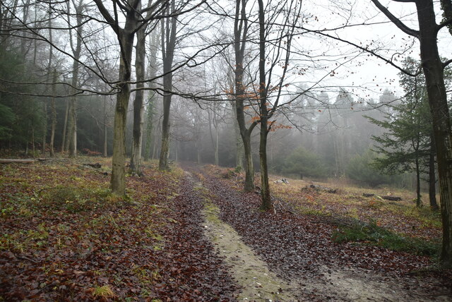
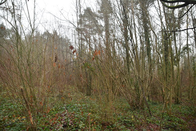
One of the main attractions of Woodpiece is its stunning ancient woodland, which is home to a diverse range of flora and fauna. The woodland offers a haven for nature enthusiasts and provides numerous opportunities for outdoor activities such as hiking, birdwatching, and photography.
Woodpiece also boasts a close-knit community, with a small but friendly population. The village is adorned with charming cottages and traditional architecture, giving it a distinct and idyllic charm. The community spirit is evident in the various local events and festivals that take place throughout the year, bringing residents together.
In terms of amenities, Woodpiece offers a range of facilities to cater to the needs of its residents. These include a village hall, a local pub, and a small convenience store. For more extensive shopping and entertainment options, residents can easily access the nearby town of Kent.
Woodpiece, Kent, with its verdant woodlands, welcoming community, and tranquil atmosphere, is a haven for those seeking a peaceful retreat in the heart of the English countryside.
If you have any feedback on the listing, please let us know in the comments section below.
Woodpiece Images
Images are sourced within 2km of 51.352089/0.076952186 or Grid Reference TQ4463. Thanks to Geograph Open Source API. All images are credited.

Woodpiece is located at Grid Ref: TQ4463 (Lat: 51.352089, Lng: 0.076952186)
Unitary Authority: Bromley
Police Authority: Metropolitan
What 3 Words
///raft.beard.ritual. Near Farnborough, London
Nearby Locations
Related Wikis

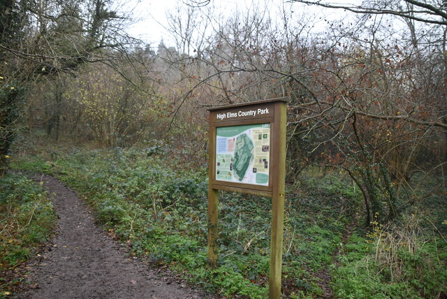
High Elms Country Park
High Elms Country Park is an extensive 250-acre (100 ha) public park on the North Downs in Farnborough in the London Borough of Bromley. It is a Local...

Orpington (UK Parliament constituency)
Orpington is a constituency created in 1945 and represented in the House of Commons of the UK Parliament since 2019 by Gareth Bacon, a Conservative. It...

Farnborough, London
Farnborough is a village in south-eastern Greater London, England, and prior to 1965, in the historic county of Kent. Situated south of Locksbottom, west...

Green Street Green
Green Street Green is an area in south-east London, located in the London Borough of Bromley and, prior to 1965, in the historic county of Kent. It is...

2008 Biggin Hill Cessna Citation crash
On 30 March 2008, a Cessna 501 Citation crashed into a house in Farnborough, London (UK), near Biggin Hill Airport, from where the aircraft had taken off...
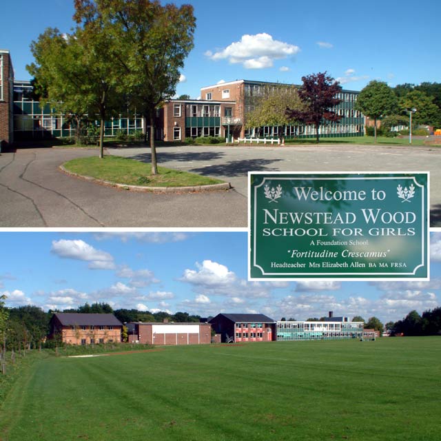
Newstead Wood School
Newstead Wood School is a selective girls' grammar school in Avebury Road, Orpington, south east London, England. == Admissions == The school is a grammar...

Orpington Hospital
Orpington Hospital is an acute general hospital in Orpington, London. It is managed by the King's College Hospital NHS Foundation Trust. == History... ==

Darrick Wood School
Darrick Wood School is a mixed secondary school in Orpington, London Borough of Bromley, United Kingdom with a current roll of 1785 pupils. It was first...
Nearby Amenities
Located within 500m of 51.352089,0.076952186Have you been to Woodpiece?
Leave your review of Woodpiece below (or comments, questions and feedback).